
Speightstown

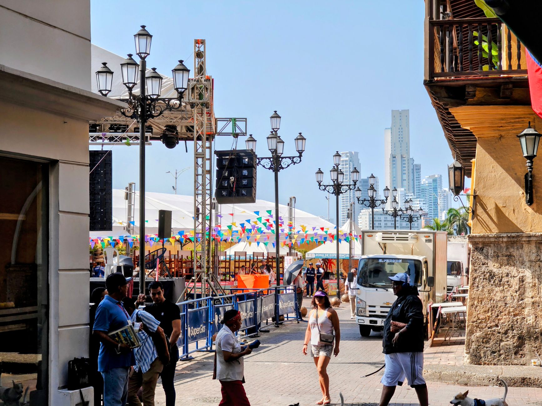
Stand on the Speightstown esplanade and you're looking at the same stretch of Caribbean water that English merchant ships once crossed, bound for Bristol with holds full of Barbadian sugar. The town sits at the island's northwest tip, quieter and less polished than Bridgetown, and that's precisely its quality — a working fishing market, a bandstand, a church older than the United States.
The historic centre folds into itself in about twenty minutes on foot: Church Street, the esplanade, the preserved merchant facades. What remains is enough to read the whole story of a place that was once Barbados's second port, declined, and never quite forgot itself.
💛 What travellers fall for
People who keep coming back tend to anchor their mornings at the fish market — fresh catch, macaroni pie, a plastic chair facing the sea. They'll also tell you to give Arlington House more time than you think you need. The Skinner family's old merchant house earns its entry fee slowly, in detail.
Deals in Speightstown
Book directly at the provider

How Speightstown came to be
Speightstown takes its name from William Speight, an early landowner and member of Barbados's first Assembly, settled around 1630. Within decades it had become the island's second-most significant port — ships loaded with sugar and other goods departed regularly for Bristol and London, and the merchants who profited built warehouses and townhouses along the shore to prove it.
In 1649, Admiral Sir George Ayscue arrived under Cromwell's orders to bring Barbados to heel. For six months, coastal forts held him off. The standoff eventually ended with the 1652 Charter of Barbados, which granted the island rights unusual among English colonies. Later, as road transport made Bridgetown's main port more practical, Speightstown's trade dried up. A fire in 1941 took most of what the merchants had built. What survives — Arlington House, the bones of St. Peter's Parish Church, Maycock's Fort — is the edited version of a much larger story.
Who and what shaped it
People who shaped it
Landmark buildings
See Speightstown in motion
Plan your visit
On the map
When to go
Temperatures hold steady year-round between 28°C and 30°C (82–86°F), so the season you're choosing between is wet and dry rather than cold and warm. January through May brings the least rain and the clearest skies; November is the wettest month, though showers tend to be brief rather than day-long.
Right now
Background & history adapted from Wikipedia (CC BY-SA) · specs from Wikidata (CC0) · weather from Open-Meteo · map data © OpenStreetMap contributors · photos from Wikimedia Commons / Unsplash with per-image credit. No third-party reviews or social posts reproduced.