
South Pole (Amundsen–Scott Station)
The Geographic South Pole marker is a metal stake in the ice, moved by hand every January 1st to compensate for the ten meters the ice sheet drifts each year toward the Weddell Sea. That small annual correction tells you most of what you need to know about this place: nothing here is fixed, and everything requires deliberate human effort to maintain.
Amundsen–Scott South Pole Station sits at 90°S, the bottom of the planet, on an ice sheet roughly 2,700 meters thick. It is a working research facility — home to a neutrino detector buried deep in the ice, a greenhouse that produces fresh food in a polar desert, and a winter crew of around fifty people who go eight months without seeing another aircraft.
How South Pole (Amundsen–Scott Station) came to be
The station began as a Navy Seabees construction project in November 1956, built to support the International Geophysical Year. It was formally dedicated on January 23, 1957 — named jointly for Roald Amundsen, the Norwegian who reached the pole in December 1911, and Robert F. Scott, the British officer who arrived weeks later in January 1912. That pairing of rivals in a single name has held ever since.
A geodesic dome, fifty meters wide, replaced the original structure in 1975 and stood until its dismantling in late 2009. The current facility — two horseshoe-shaped modules on adjustable stilts, with a windward face engineered like an airplane wing to shed snow — was dedicated in January 2008 after nearly a decade of construction. Its design firm was Ferraro Choi and Associates.
Who and what shaped it
People who shaped it
Landmark buildings
See South Pole (Amundsen–Scott Station) in motion
Plan your visit
On the map
When to go
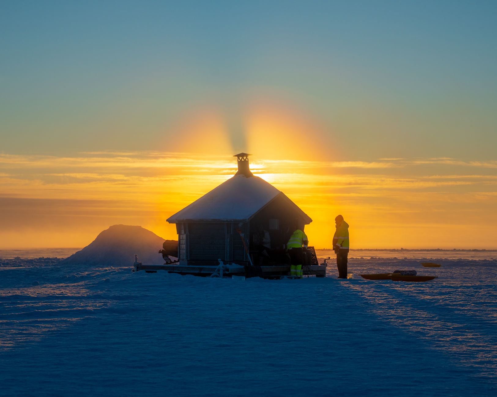
Summer (October–February) temperatures hover around −26°C (−15°F), occasionally rising above −18°C (0°F) in late December — cold by any standard, but manageable in proper gear. Winter drops to −60°C (−76°F) or below, with a recorded low of −82.8°C (−117°F); the sun disappears entirely for six months and the station is completely isolated.
Right now
Background & history adapted from Wikipedia (CC BY-SA) · specs from Wikidata (CC0) · weather from Open-Meteo · map data © OpenStreetMap contributors · photos from Wikimedia Commons / Unsplash with per-image credit. No third-party reviews or social posts reproduced.