
South Malé Atoll


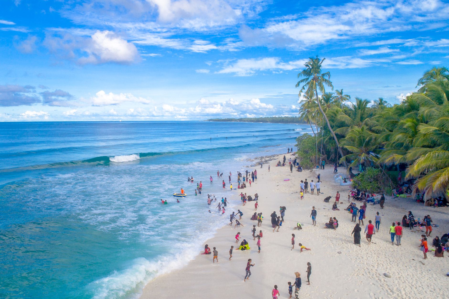

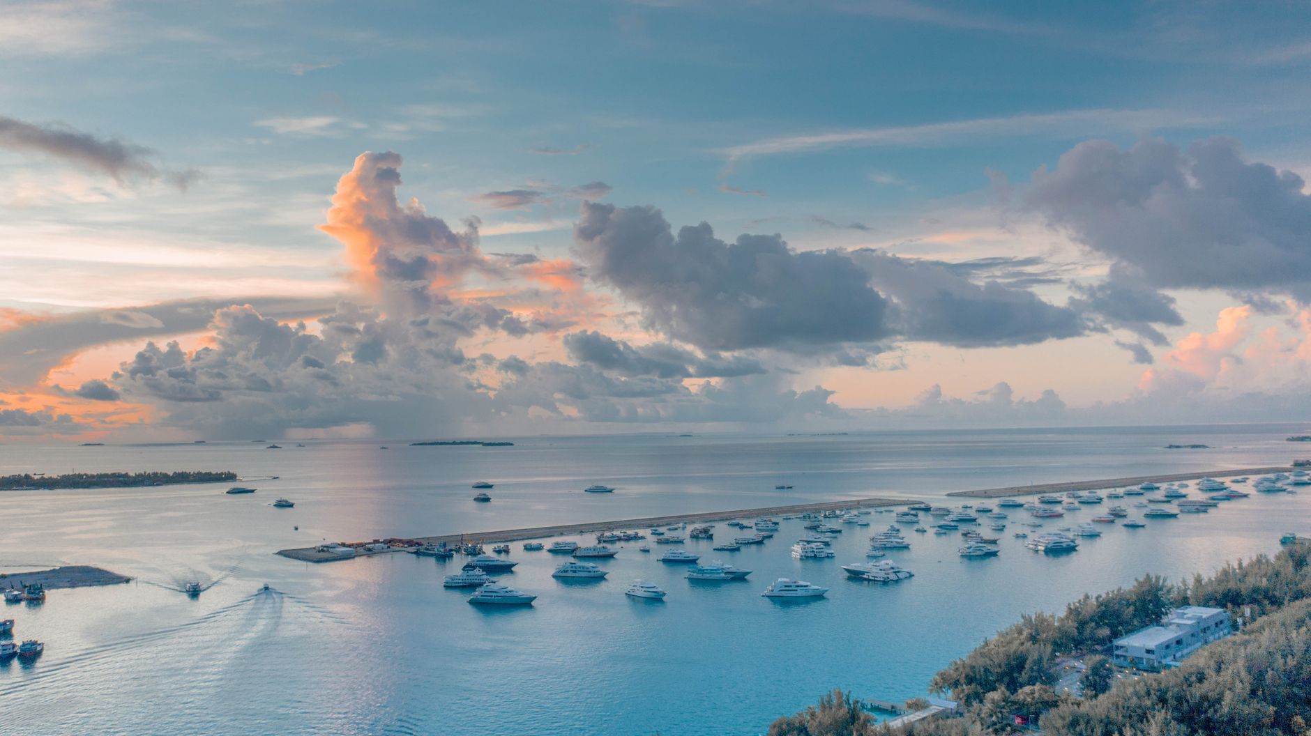

A narrow channel called Vaadhoo Kandu — just 4.5 kilometres wide — separates South Malé Atoll from the capital's atoll, yet the crossing feels like a genuine departure. Within thirty to forty-five minutes of leaving the airport by speedboat, you are somewhere that runs on tides and light rather than schedules. The atoll stretches roughly 36 kilometres south to north, its thirty islands strung mostly along the eastern rim: three inhabited, ten left to birds and reef, seventeen given over to resorts.
Maafushi, the atoll's capital, was the first local island in the Maldives to open its guesthouses to international travellers, which means you can move here between the resort world and something closer to daily Maldivian life — afternoon snacks after Asr prayer, handicraft workshops on Guraidhoo, public ferries threading between islands for a fraction of speedboat prices.
How South Malé Atoll came to be
The atoll's older name, Biadhoo Atholhu, comes from Biyadhoo, one of its southern islands — a reminder that Maldivian geography was mapped in local language long before resort brochures arrived. The name South Malé itself derives from Malé, which has served as the Maldivian capital since 1117.
For most of its recorded existence the atoll was a place of fishing settlements and passing trade rather than a destination in its own right. That changed when Maafushi pioneered the guesthouse model, cracking open Maldivian tourism beyond the all-inclusive resort island — a structural shift that gradually made the atoll legible to independent travellers alongside the established luxury properties.
Who and what shaped it
Landmark buildings
See South Malé Atoll in motion
Plan your visit
On the map
When to go
Daytime air temperatures sit between 30 °C in January and 32 °C in April year-round, with water temperatures rarely dropping below 28 °C. February is the driest month; September sees rain on roughly half its days — though even the wet southwest monsoon (May–October) brings the consistent swells that make the atoll's surf breaks worth the journey.
Right now
Background & history adapted from Wikipedia (CC BY-SA) · specs from Wikidata (CC0) · weather from Open-Meteo · map data © OpenStreetMap contributors · photos from Wikimedia Commons / Unsplash with per-image credit. No third-party reviews or social posts reproduced.