
Sosúa
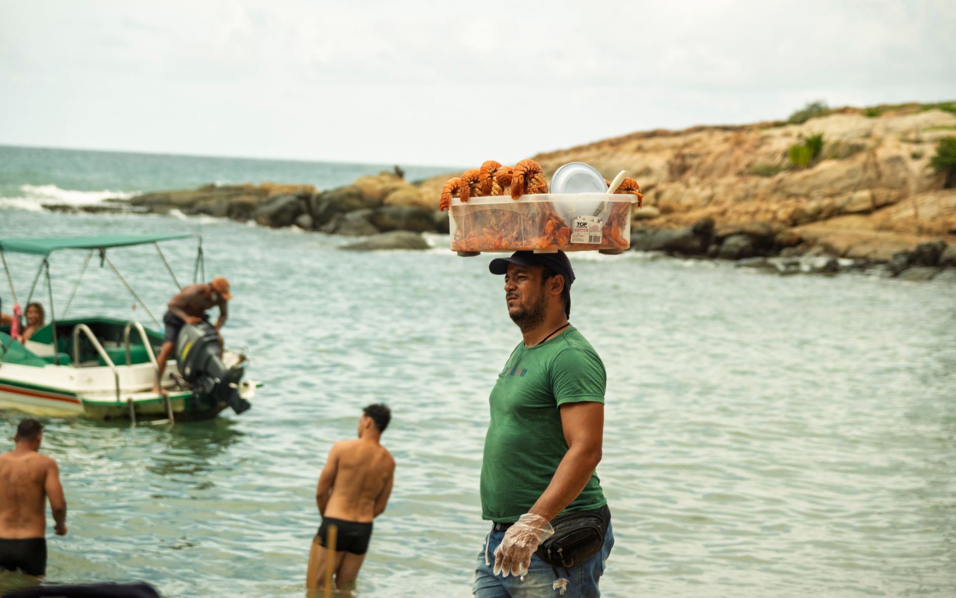
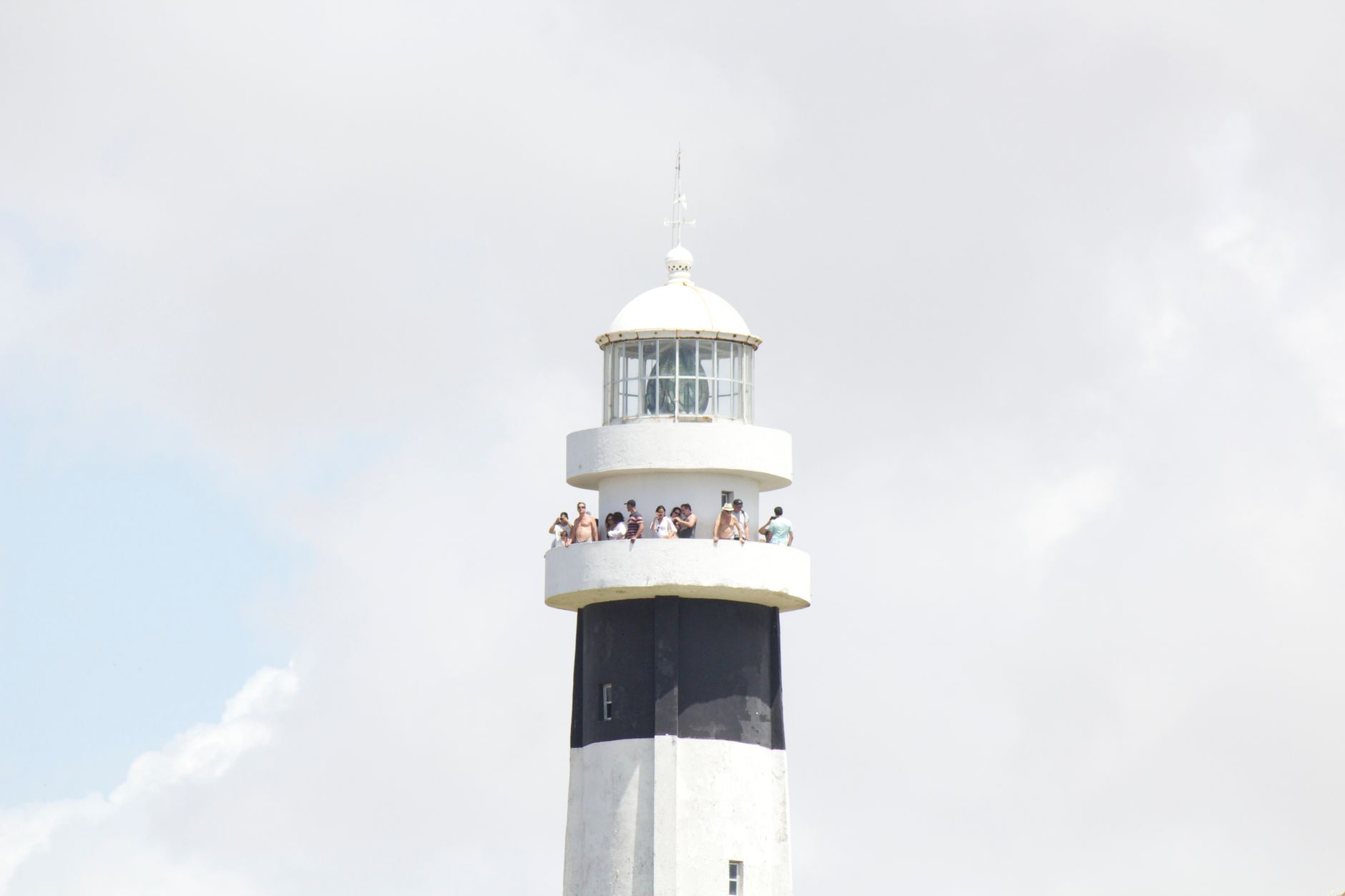

Walk the streets of El Batey and you'll notice something unusual: the names on the signs are Ashkenazic. Goldenberg, Katz, Levy. Sosúa, a small town on the Dominican Republic's north coast, carries its refugee history in plain sight — in the street names, in the synagogue still in use, in the dairy cooperative whose products you'll find in supermarkets across the country.
The town divides neatly into three sectors around a crescent bay. El Batey is the tourist-facing side; Los Charamicos, across the beach, runs quieter and more local. The bay itself is sheltered enough to make the water genuinely calm — reef structures close to shore, whale sightings in winter, and a fixed taxi fare from the airport that takes the guesswork out of arriving.
How Sosúa came to be
In 1939, as the Evian Conference failed to find countries willing to accept Jewish refugees fleeing Nazi Germany, Rafael Trujillo made an offer that surprised the world: the Dominican Republic would take up to 100,000 Jews. In practice, between 1940 and 1945, around 800 German and Austrian refugees received visas and settled in Sosúa on roughly 26,000 acres of north-coast land. A formal agreement between the Dominican government and DORSA — the Dominican Republic Settlement Association — was signed on 30 January 1940.
DORSA built housing, schools, and medical facilities, and established an agricultural colony whose dairy cooperative eventually became Productos Sosúa, a brand still sold across the island today. Descendants of the original settlers remain in town; the former mayor, Ilana Neumann, is among them. The Museo Judeo in the town center documents this history, and the synagogue continues to hold services.
Who and what shaped it
People who shaped it
Landmark buildings
See Sosúa in motion
Plan your visit
On the map
When to go
Sosúa runs warm and humid year-round, with temperatures rarely straying outside 21–30°C (70–86°F). February to April is the most comfortable window — drier, slightly cooler, and outside hurricane season, which peaks in September.
Right now
Background & history adapted from Wikipedia (CC BY-SA) · specs from Wikidata (CC0) · weather from Open-Meteo · map data © OpenStreetMap contributors · photos from Wikimedia Commons / Unsplash with per-image credit. No third-party reviews or social posts reproduced.