
Sossusvlei
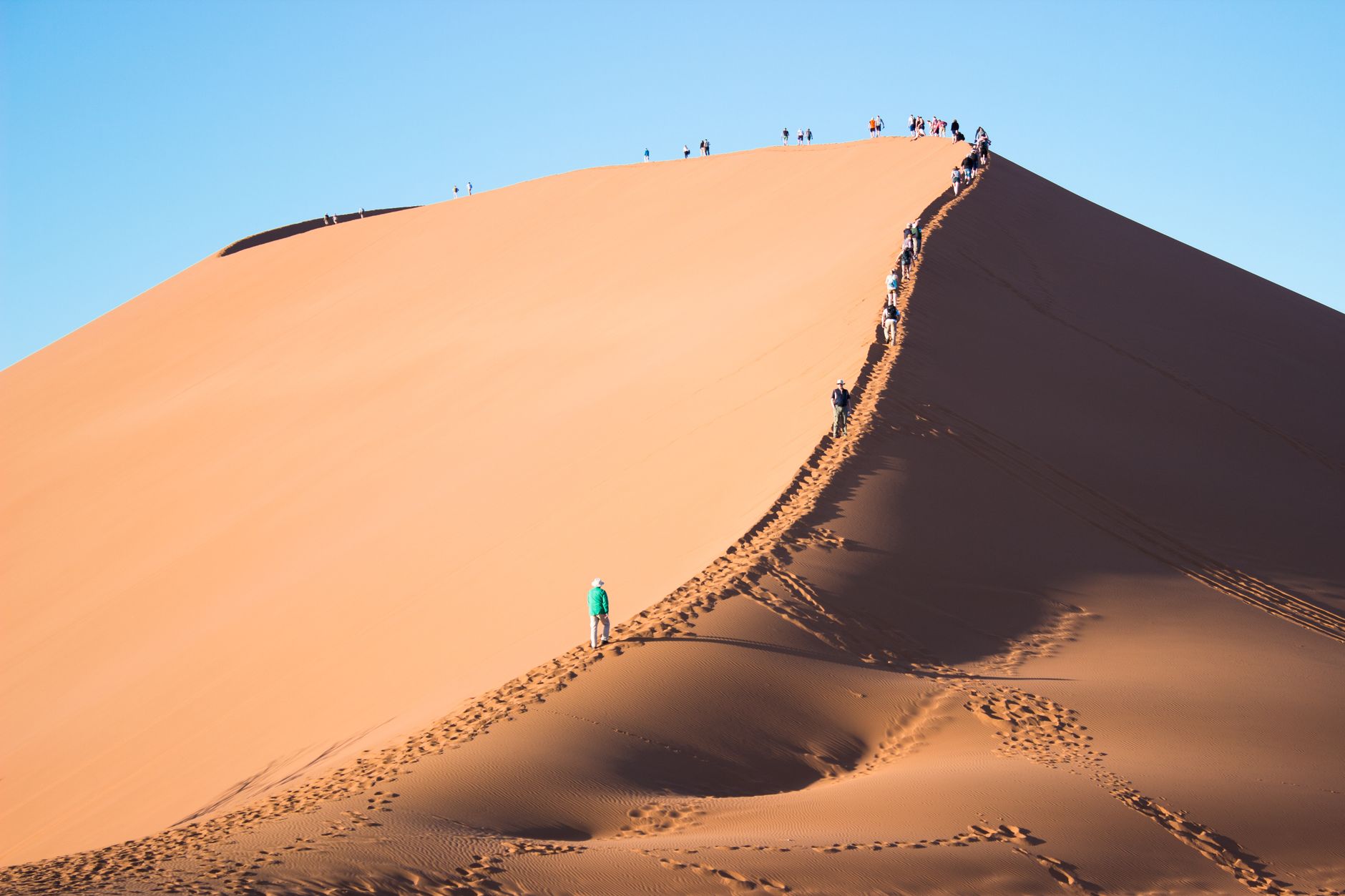
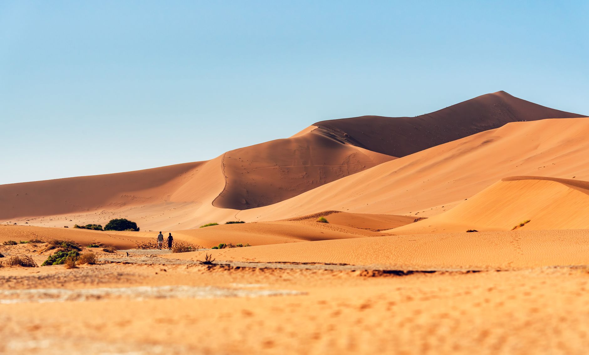
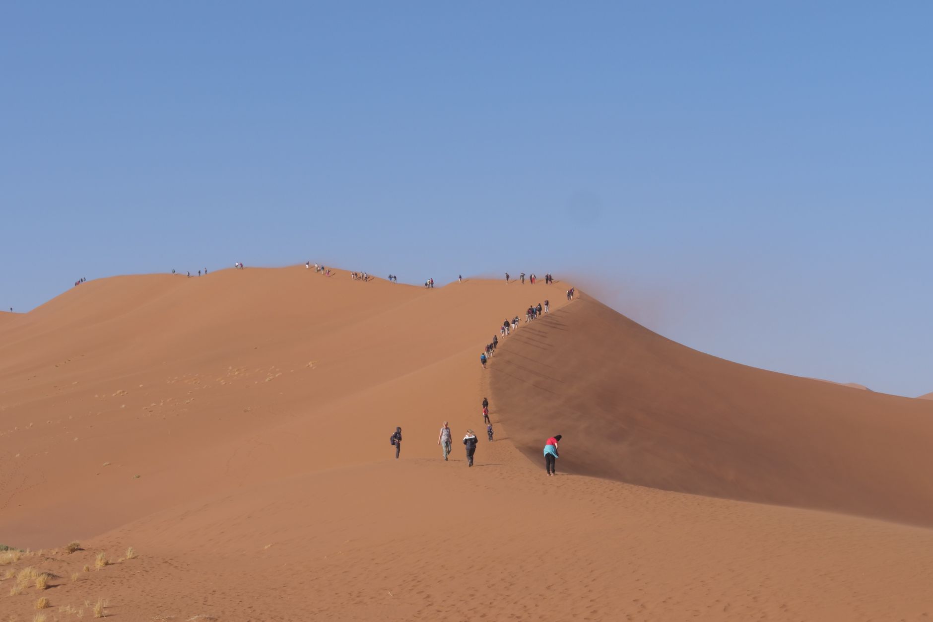
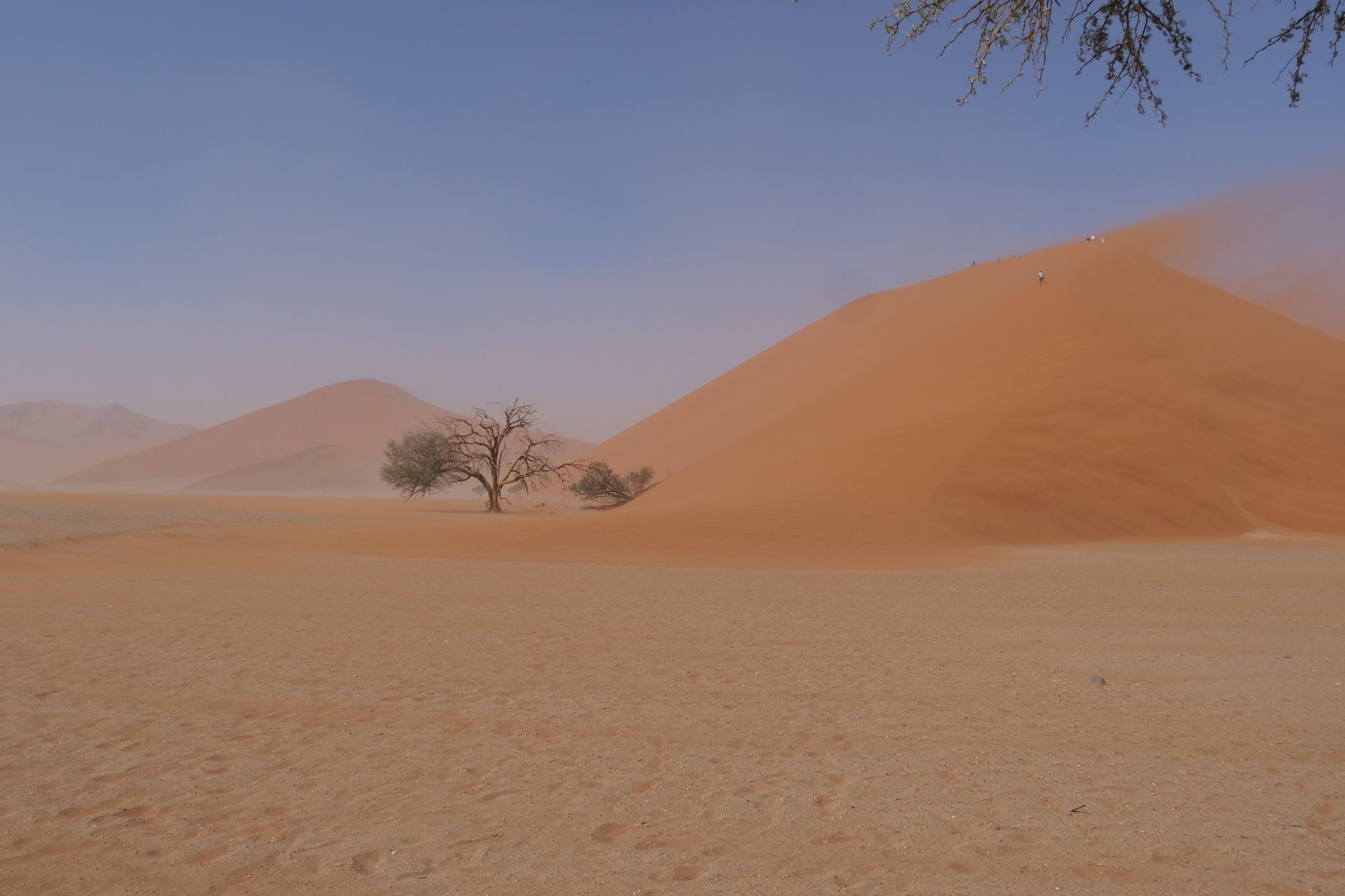
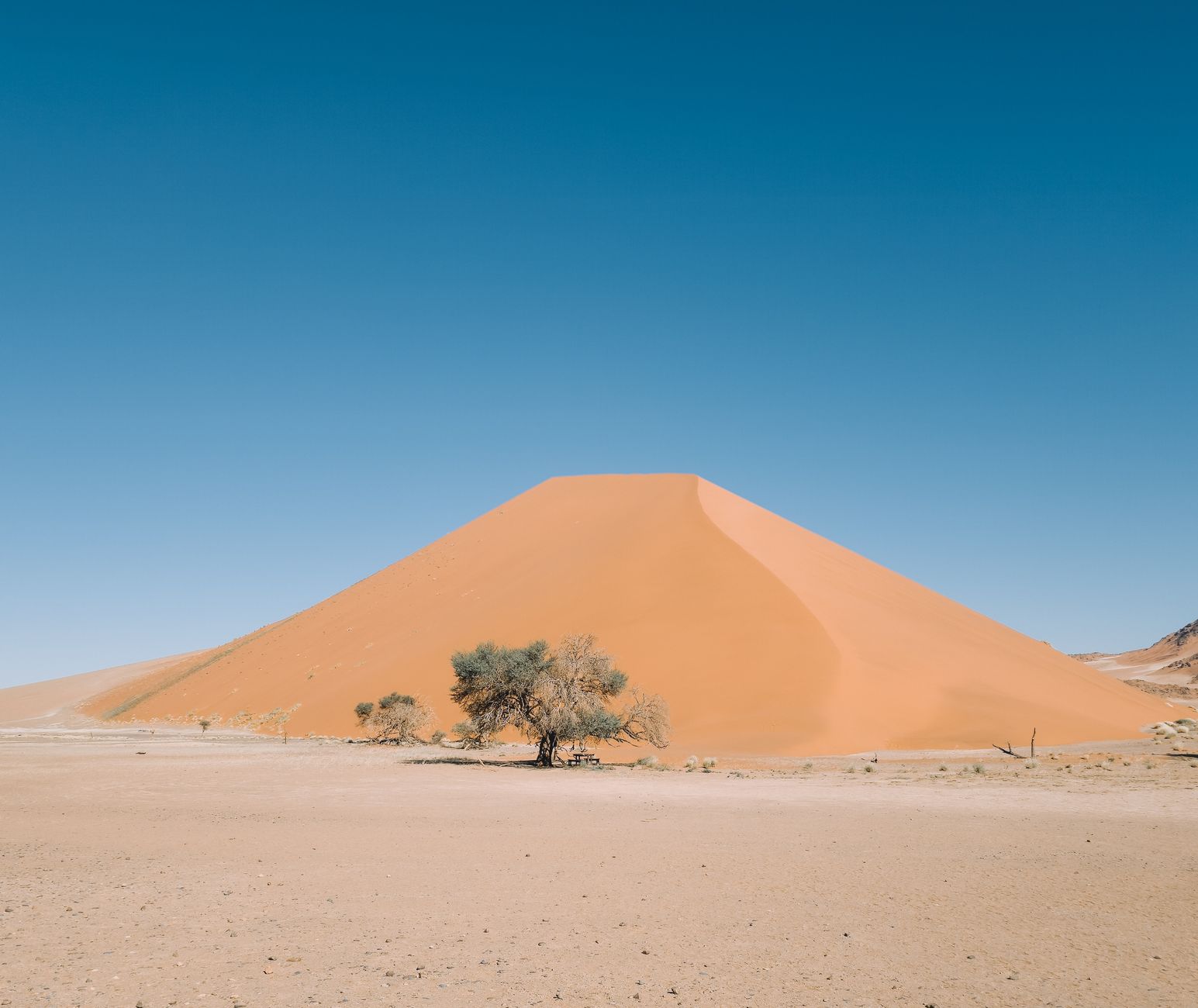
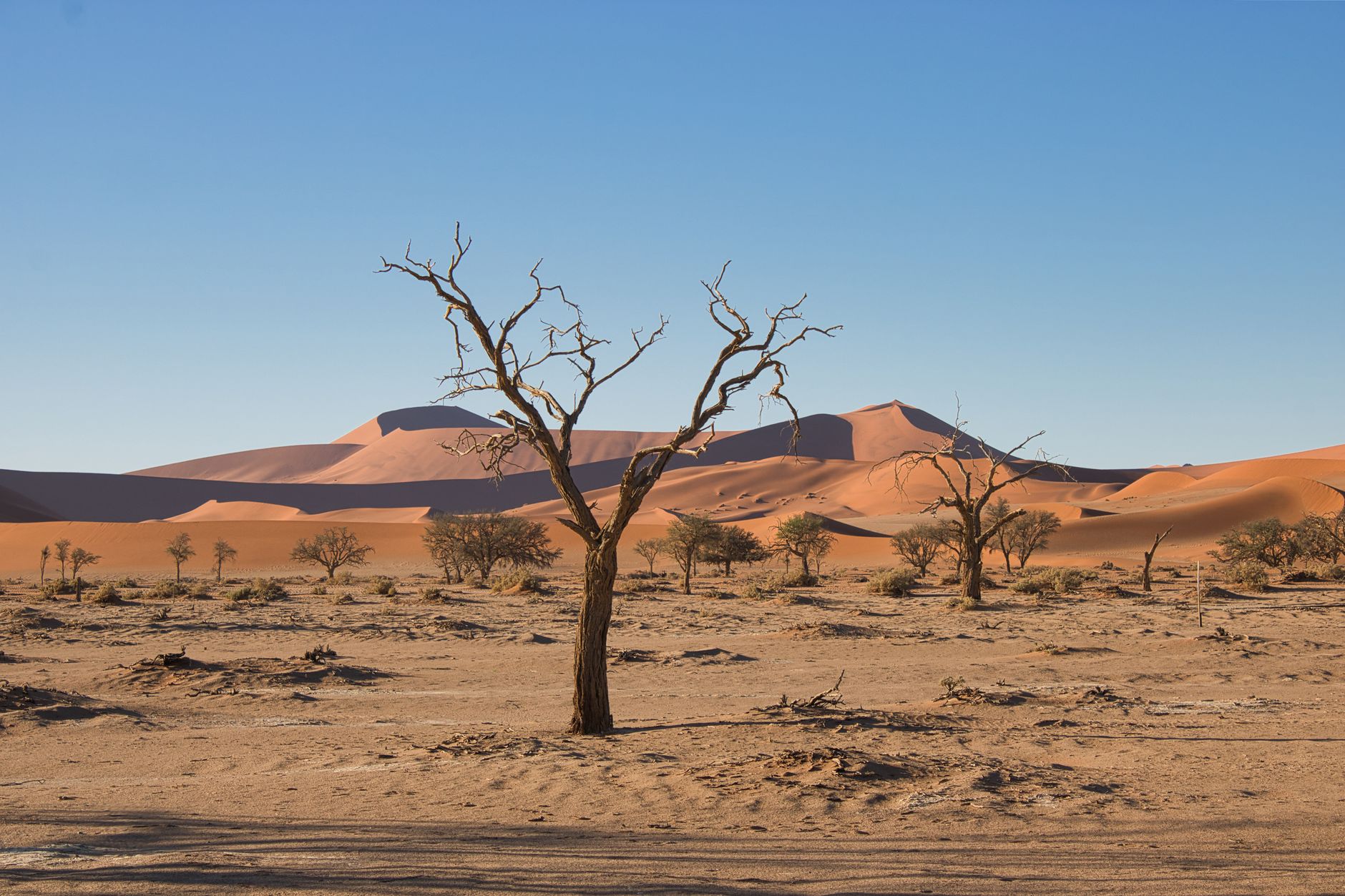
The dunes at Sossusvlei are not red in any ordinary sense. At sunrise they shift through copper and rust and something close to burnt amber, the shadows carving each ridge into a clean geometric line against a sky that has almost no moisture in it. This is the southern Namib — one of the oldest deserts on Earth — and the scale of it takes a moment to process.
The pan itself is a salt and clay floor ringed by those towering dunes, the tallest of which, Big Daddy, rises 325 metres. A couple of kilometres away, Deadvlei holds its famous camelthorn trees: blackened, long dead, standing upright in a white clay bowl as though time simply stopped around them.
How Sossusvlei came to be
The Namib is thought to be at least 55 million years old, shaped by the cold Benguela Current driving moisture away from the coast and leaving behind one of the driest places on the planet. The Tsauchab River once reached this far inland, depositing the sands that now form the dunes, but it silted roughly five million years ago — leaving the pans sealed and the camelthorn trees of Deadvlei eventually stranded without water.
San peoples moved through this landscape for millennia, though they left few permanent marks. European interest came in the late 19th century, and a protected area was first established in 1907 under German colonial administration. Namib-Naukluft National Park, which formally incorporates Sossusvlei, was proclaimed in 1979. The paved road connecting Sesriem to the dunes was only completed in the early 2000s.
Who and what shaped it
Landmark buildings
See Sossusvlei in motion
Plan your visit
On the map
When to go
May through August is the most forgiving window — dry, sunny, and cool enough in the afternoons (around 25°C) to be on your feet, though nights can drop below freezing. From September onward the heat builds quickly, regularly exceeding 38°C by midday, so early morning access becomes less of a preference and more of a necessity.
Right now
Background & history adapted from Wikipedia (CC BY-SA) · specs from Wikidata (CC0) · weather from Open-Meteo · map data © OpenStreetMap contributors · photos from Wikimedia Commons / Unsplash with per-image credit. No third-party reviews or social posts reproduced.