
Son Tay Town
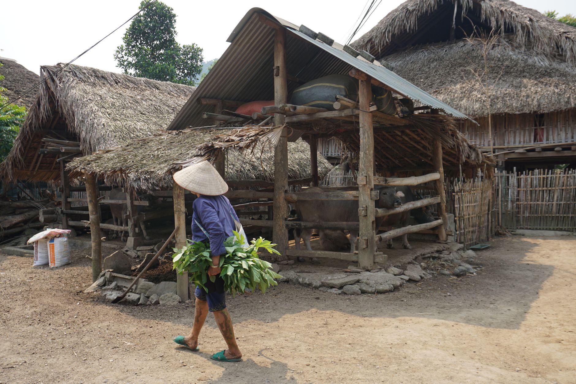

About 40 kilometres west of Hanoi along National Highway 32, Son Tay Town announces itself with laterite — the reddish-brown volcanic stone that builds its ancient citadel and gives the whole place a particular warmth in afternoon light. The fortress, raised in 1822 under Emperor Minh Mang, covers 16 hectares in a Vauban-influenced square, its walls still standing five metres high above a moat that has outlasted empires and colonial administrations alike.
Son Tay is old in the way that matters: it was one of four protectorates guarding the ancient capital Thang Long, and its name appears in administrative records as far back as 1469. What you find today is a town that carries that weight lightly — free entry to the citadel, a walking street on Saturday evenings, and Duong Lam Ancient Village a short xe ôm ride away.
💛 What travellers fall for
People who come back tend to time it for a Saturday, when the streets around the citadel open up for the evening walking street. Pair that with an early-morning wander inside the fortress walls before the weekend crowd of 25,000-plus arrives, and you have the place almost to yourself — just the laterite, the Kinh Thien Palace courtyard, and the sound of motorbikes on the far side of the moat.
Deals in Son Tay Town
Book directly at the provider


How Son Tay Town came to be
Son Tay's name first enters the administrative record in 1469, and the region itself traces back to the Hung Kings era, when it formed part of Giao Chi, one of 15 regions of Van Lang–Au Lac. For centuries it served as one of the four military protectorates of Thang Long, the ancient precursor to Hanoi. The citadel that defines the town today was built in 1822 under the Nguyen Dynasty's Emperor Minh Mang, its Vauban geometry — four gates, square plan, surrounding moat — reflecting French military-engineering influence that had already spread through Southeast Asia.
In the 1870s and 1880s the citadel became the centre of armed resistance against the French, led by mandarins Hoàng Kế Viêm and Lưu Vĩnh Phúc, before French forces took control in 1884. The colonial administration formally ranked the citadel as a relic in 1924 — the same year Son Tay was officially constituted as a town — and Vietnam's Ministry of Culture and Information designated it a National Historic Landmark in 1994.
Who and what shaped it
People who shaped it
Landmark buildings
See Son Tay Town in motion
Plan your visit
On the map
When to go
Son Tay runs humid subtropical: summers (May through September) are hot and wet, with temperatures pushing 31°C and most of the annual 1,750 mm of rain falling in this window. The cooler dry months from November through February — when temperatures can drop toward 18°C — are the most comfortable for walking the citadel grounds and the surrounding countryside.
Right now
Background & history adapted from Wikipedia (CC BY-SA) · specs from Wikidata (CC0) · weather from Open-Meteo · map data © OpenStreetMap contributors · photos from Wikimedia Commons / Unsplash with per-image credit. No third-party reviews or social posts reproduced.