
Soberanía National Park

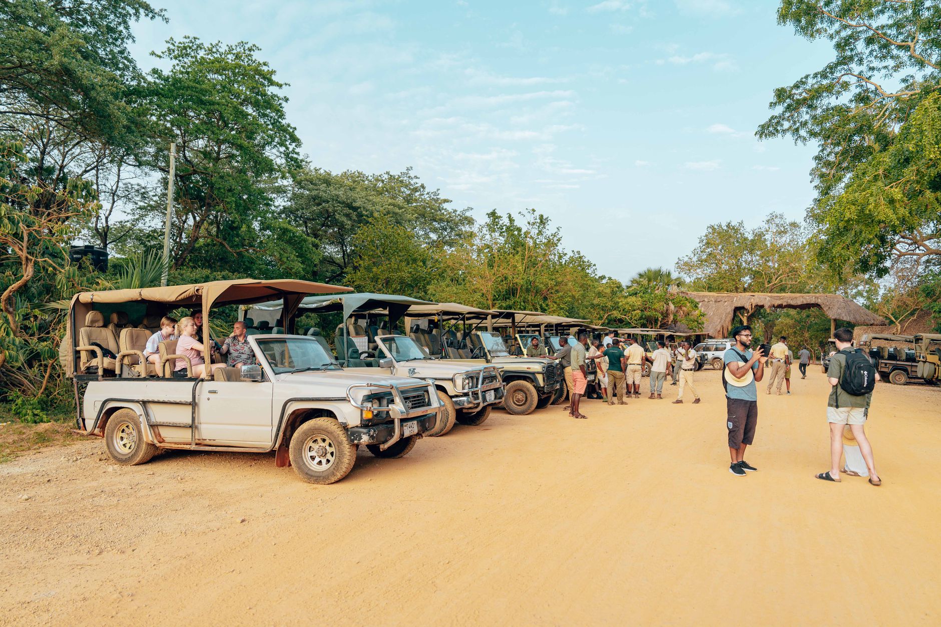
Twenty-five kilometres from Panama City, the forest closes in fast. Soberanía National Park covers a long corridor of lowland rainforest along the eastern bank of the Panama Canal, and it holds 525 recorded bird species — including a single stretch of road, the old Pipeline Road, where birders once counted 357 species in 24 hours, a world record that still stands.
The park runs from canal-side Gamboa up into the hills of the Chagres watershed. Jaguars move through here. So do howler monkeys, two-toed sloths, Geoffroy's tamarins, and white-nosed coatis. For a place this close to a capital city, the density of life inside it is quietly remarkable.
💛 What travellers fall for
People who come back tend to arrive before 7 a.m. — before the park technically opens — parking at the Pipeline Road gate and walking the first few kilometres in near-dark. The canopy wakes up fast. The Panama Rainforest Discovery Center's 32-metre tower is worth the climb for a second visit, especially on an overcast morning when the light sits low and flat across the treetops.
How Soberanía National Park came to be
The park was established on May 27, 1980, as a protected corridor along the canal zone. Its oldest feature predates it by four and a half centuries: the Camino de Cruces, built in 1527 to link Panama Viejo with the river port of Venta de Cruces on the Chagres, was the route Spanish colonisers used to move gold from the Pacific toward the Atlantic. Sections of that stone trail survive inside the park today.
The Pipeline Road has a different origin — it was laid during World War II to move fuel between oceans in case the canal came under attack. Gamboa, the small town at the park's edge, was built in the 1930s to house Panama Canal workers. Both roads became, almost accidentally, two of the best birding corridors in the Western Hemisphere.
Who and what shaped it
Landmark buildings
See Soberanía National Park in motion
Plan your visit
On the map
When to go
The dry season, mid-December through April, gives you firm trails and clearer skies — the practical window for most visits. The rainy season runs May through November, with heavy afternoon downpours that make paths slick; September, November, and December are the wettest months, though mornings often stay clear enough for wildlife spotting if you start early.
Right now
Background & history adapted from Wikipedia (CC BY-SA) · specs from Wikidata (CC0) · weather from Open-Meteo · map data © OpenStreetMap contributors · photos from Wikimedia Commons / Unsplash with per-image credit. No third-party reviews or social posts reproduced.