
Siwa Oasis
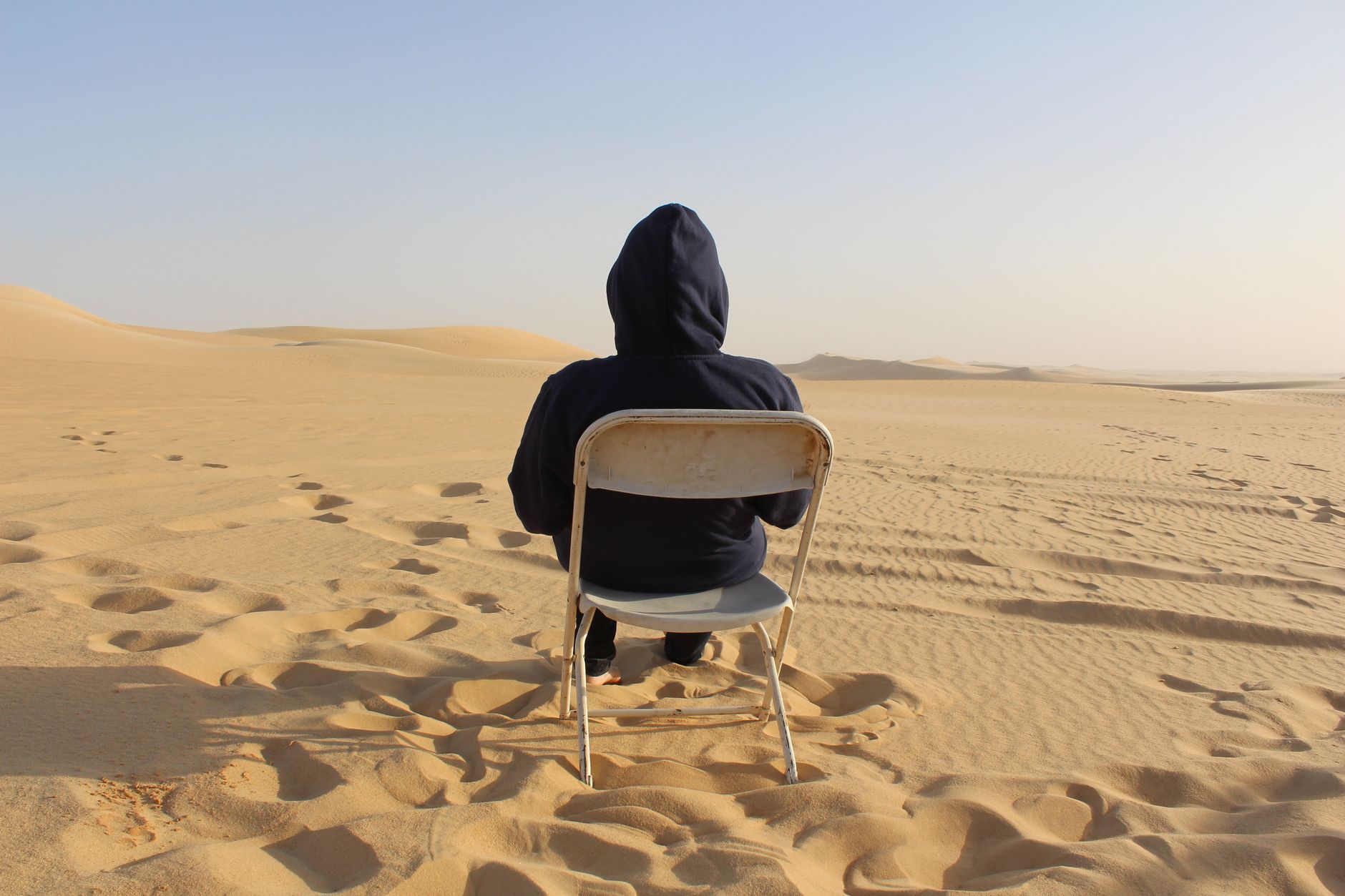
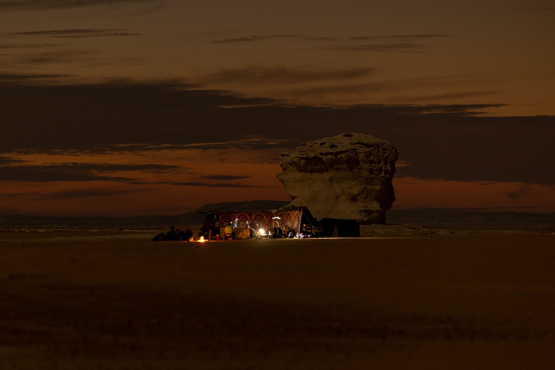
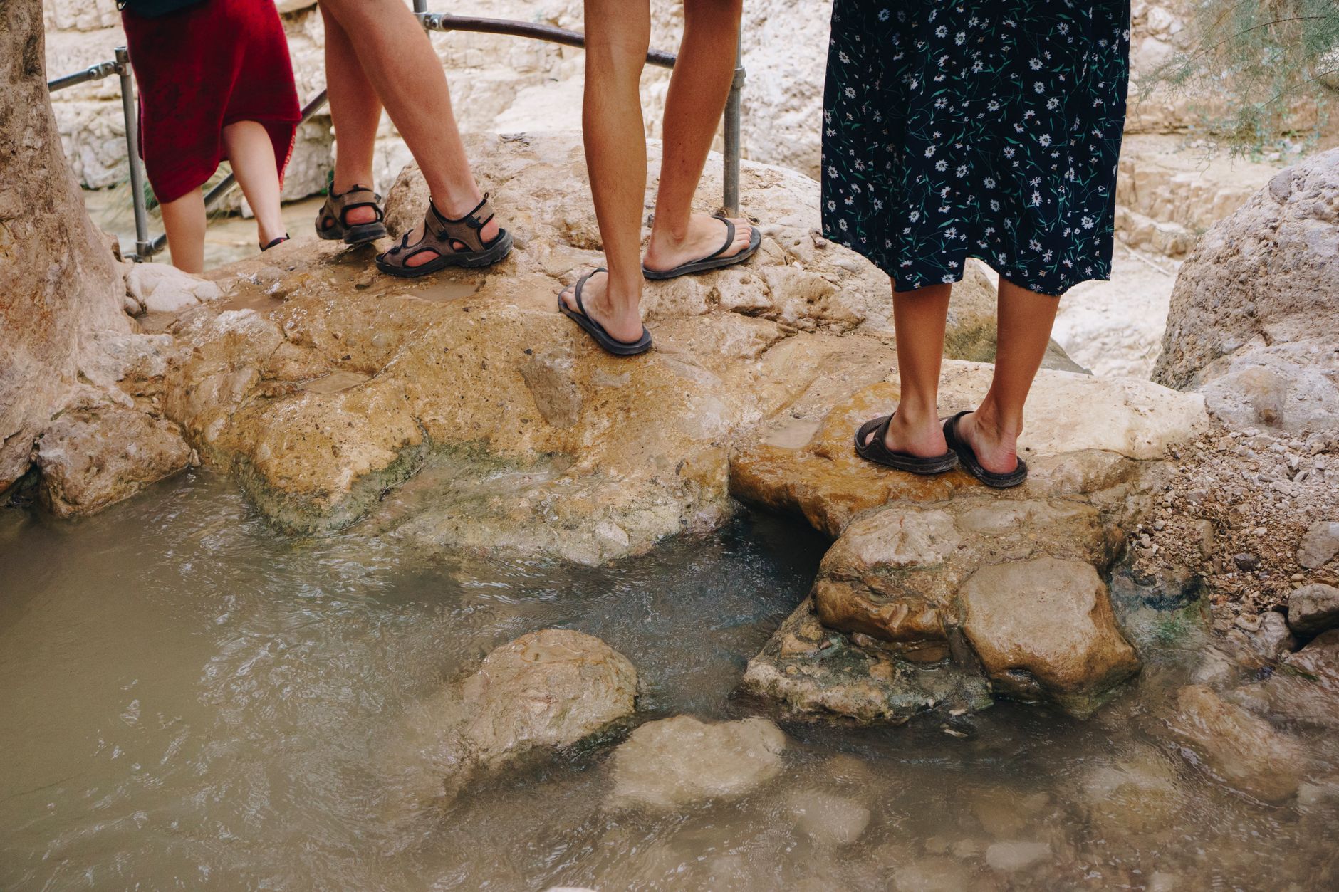
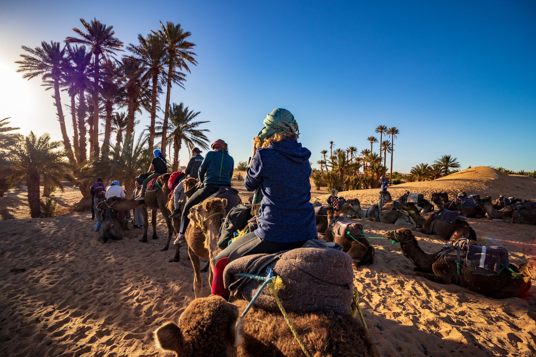
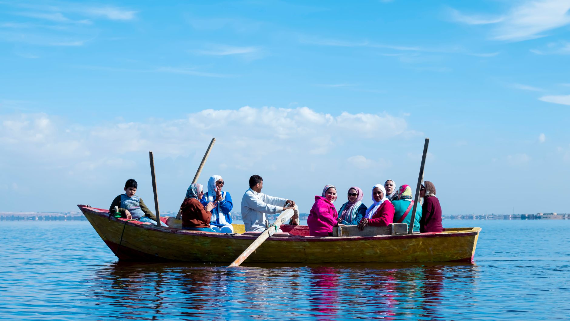
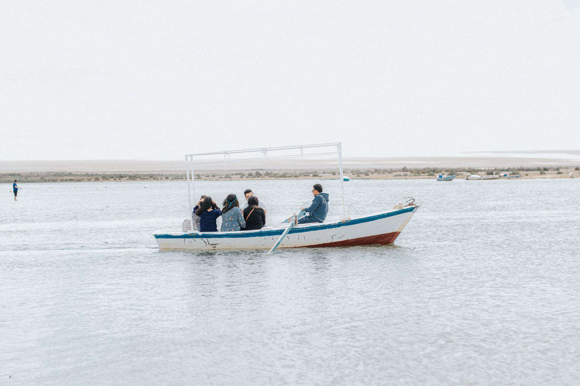
Siwa sits 560 kilometres from Cairo and 50 from the Libyan border, deep in the Western Desert, and the distance is part of the point. Around 200 springs feed the oasis, and the houses — stacked and worn, the colour of dry earth — are built from kershef, a local mix of salt and clay that keeps interiors cool when the air outside is punishing. The population of roughly 33,000 is mostly Berber, speaking Siwi, a language distinct from Arabic, and that particularity runs through everything: the food, the pace, the way strangers greet you on the street.
Three full days is the working unit here — enough time to float in a spring-fed lake, climb through rock tombs, watch the Shali fortress change colour at dusk, and sit still long enough to understand what you're looking at.
How Siwa Oasis came to be
The oasis had connections to pharaonic Egypt by the 26th Dynasty, when a necropolis was cut into the rock of Gebel al-Mawta. The Temple of Amun at Aghurmi — built between 663 and 525 BCE — drew Greek pilgrims from Cyrene and eventually Alexander the Great, who arrived in 331 BCE, fresh from founding Alexandria, to consult the oracle there. What the oracle told him, Alexander never publicly repeated.
For centuries after, Siwa remained largely self-governing and little visited. The 13th-century Shali fortress, built from kershef, defined the town's silhouette until a rare three-day rainstorm in 1926 dissolved much of it. Muhammad Ali brought Siwa formally under Egyptian control in 1820; the first tarmac road arrived only in the 1980s. The archaeologist Ahmed Fakhry documented the oasis in depth in the mid-20th century, producing the foundational scholarly account published in 1973.
Who and what shaped it
People who shaped it
Landmark buildings
See Siwa Oasis in motion
Plan your visit
On the map
When to go
Siwa runs hot and dry — summers regularly exceed 35°C and shade is scarce, while January days are mild around 20°C with cool nights that can drop toward 4°C. October through April gives you the most comfortable conditions for walking and exploring outdoors.
Right now
Background & history adapted from Wikipedia (CC BY-SA) · specs from Wikidata (CC0) · weather from Open-Meteo · map data © OpenStreetMap contributors · photos from Wikimedia Commons / Unsplash with per-image credit. No third-party reviews or social posts reproduced.