
Silom
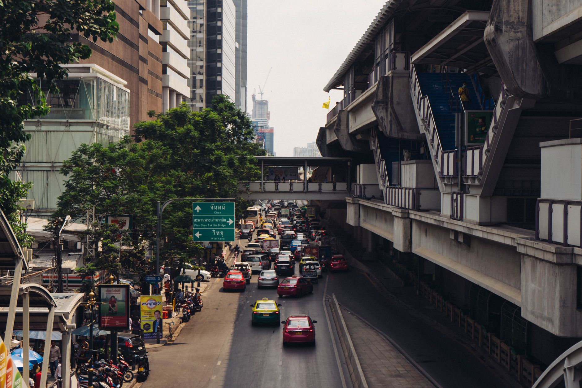
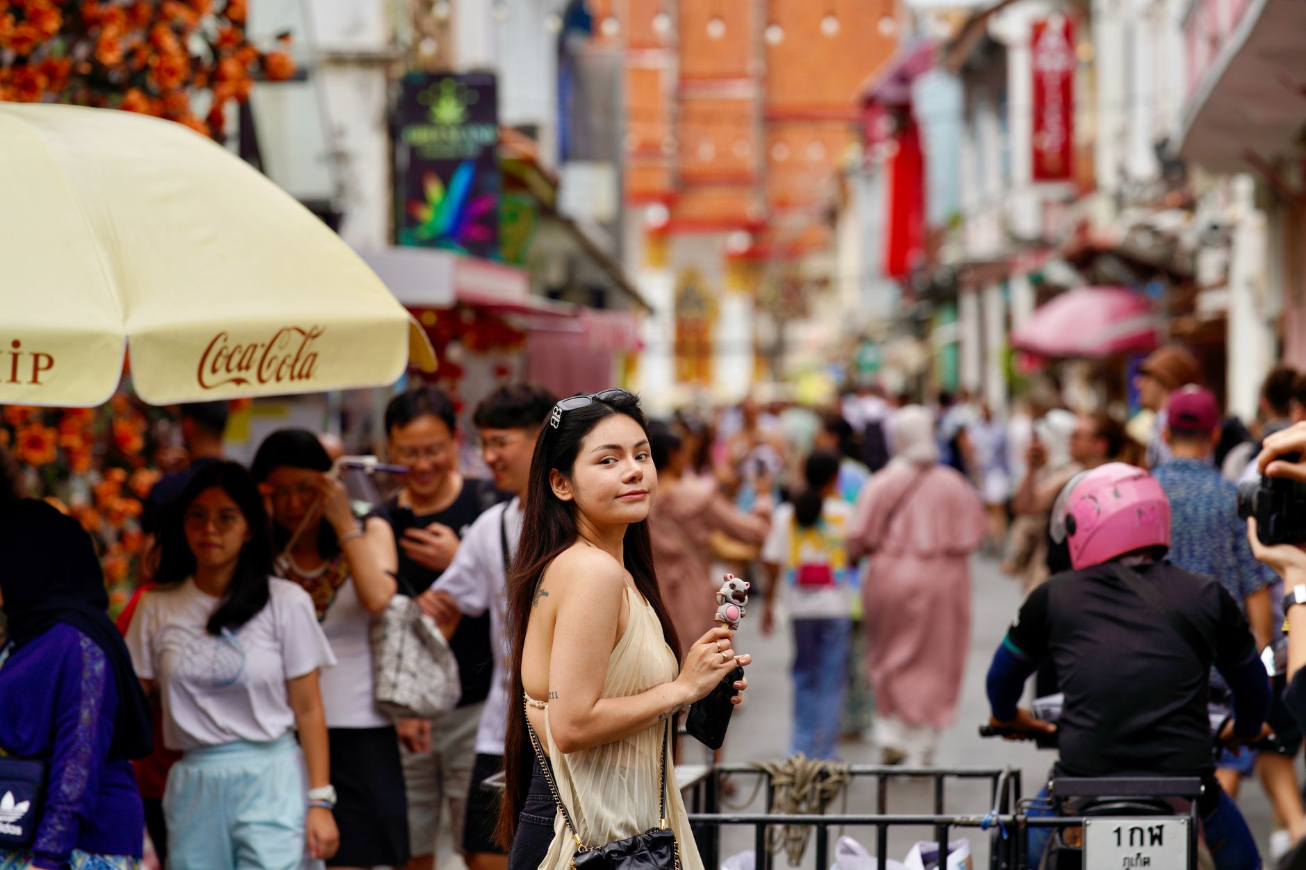
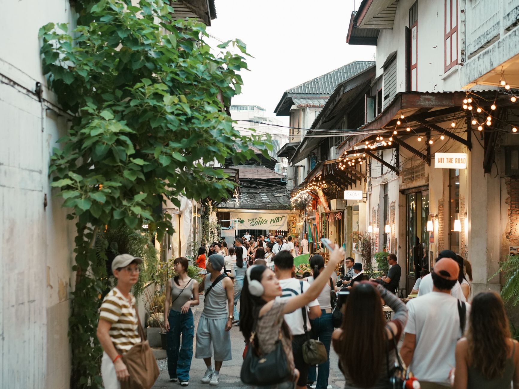
The name means windmill — a clue to what Silom was before it became a canyon of glass and concrete. Fruit orchards once lined this stretch of Bangkok, and wind-powered pumps drew water from the canal that would eventually be filled in to make the road you walk today.
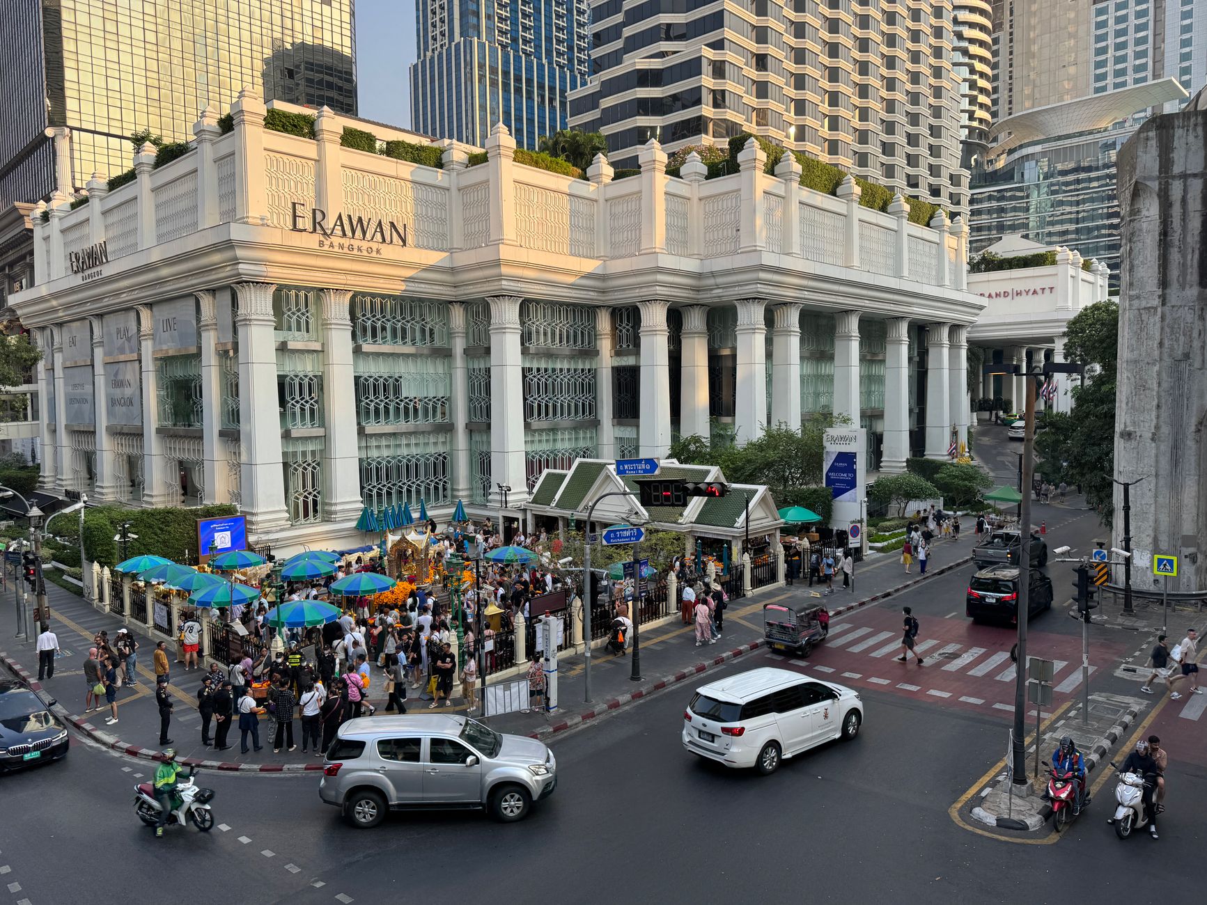
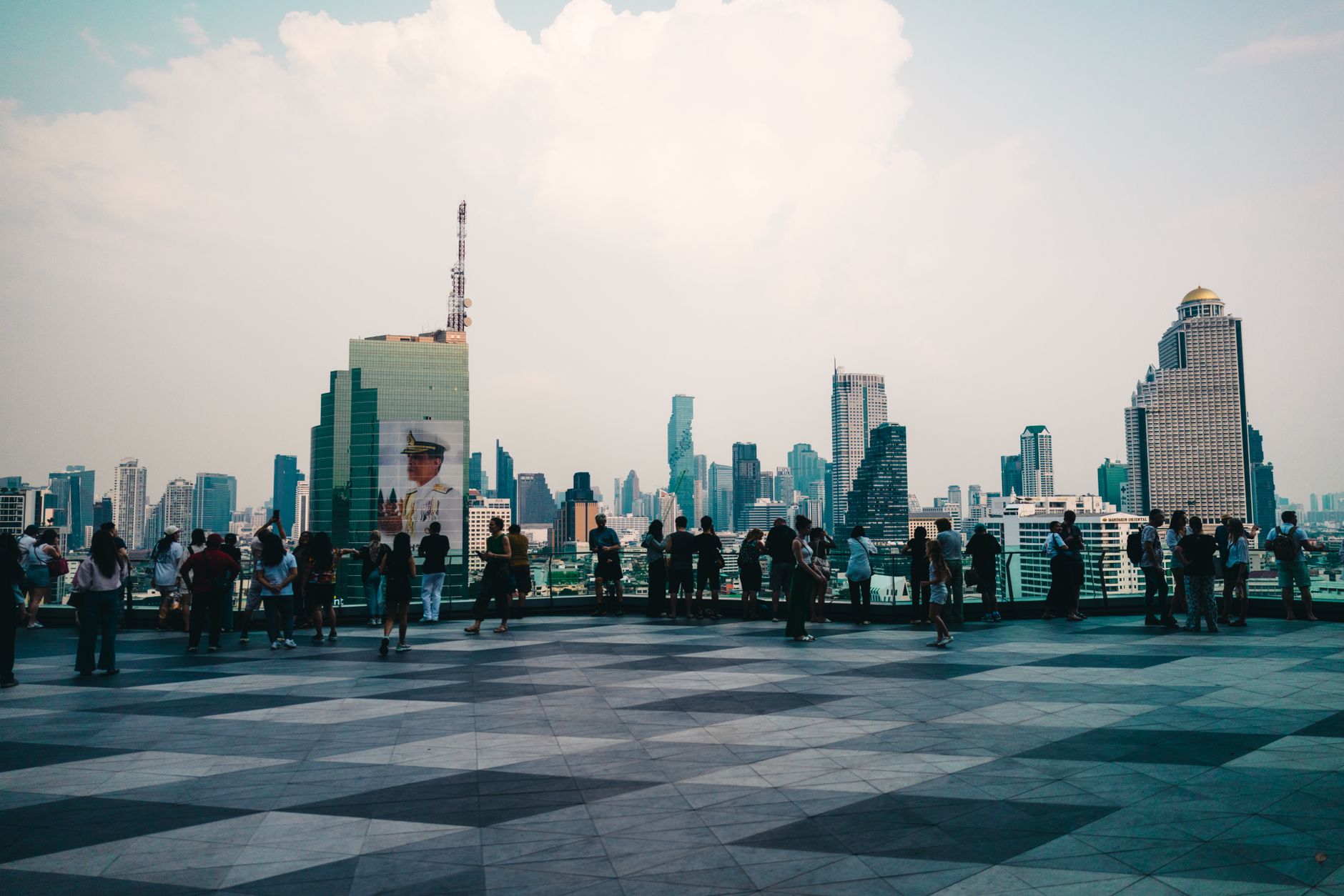
Now Silom holds the city's financial core alongside a Hindu temple older than the skyscrapers by more than a century, a French-founded cathedral, a library endowed by a grieving husband, and a glass-floored platform 310 metres above the Chao Phraya basin. The contrasts aren't incidental — they're the whole point.
💛 What travellers fall for
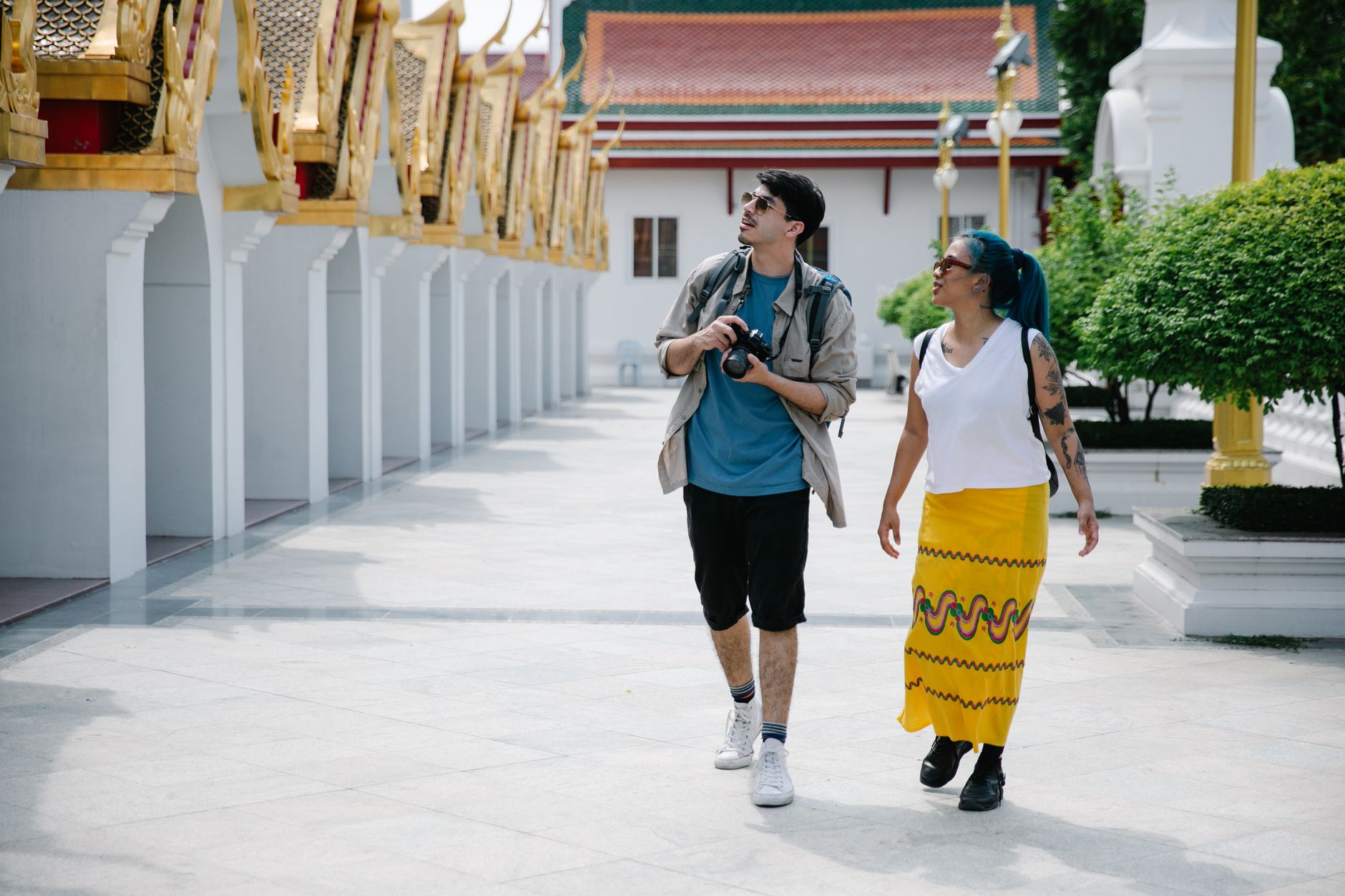
People who return to Silom tend to anchor their mornings at Lumpini Park before the heat peaks, then duck into the Neilson Hays Library on a weekday afternoon — cool, quiet, 20,000 volumes, open until six. The Sri Mariamman Temple rewards a second visit when you know to look for the Tamil inscription above the entrance.
Deals in Silom
Book directly at the provider


How Silom came to be
Silom Road was born from a canal. In the 1860s, under King Rama IV as Thailand began its first push toward modernisation, workers dug a waterway from the Chao Phraya River to what is now Rama IV Road. The earth they displaced was banked up alongside — and that embankment became Silom Road, named for the windmills that had long pumped water through the surrounding orchards.
A tram ran the length of the road from 1925. By 1963 it was gone, the canal beneath filled in, the road widened for cars. The Dusit Thani Hotel opened at the Rama IV end in 1970 as the city's first high-rise, and Silom's transformation from orchard country to financial district was effectively complete. The BTS Silom Line arrived on 5 December 1999.
Who and what shaped it
People who shaped it
Landmark buildings
See Silom in motion
Plan your visit
On the map
When to go
Bangkok runs hot all year, but December through mid-February brings the most bearable conditions — lower humidity, temperatures in the mid-to-upper twenties. The rainy season from mid-May through October means heavy afternoon downpours; September is the wettest month, though mornings usually stay clear.
Right now
Background & history adapted from Wikipedia (CC BY-SA) · specs from Wikidata (CC0) · weather from Open-Meteo · map data © OpenStreetMap contributors · photos from Wikimedia Commons / Unsplash with per-image credit. No third-party reviews or social posts reproduced.