
Sigiriya
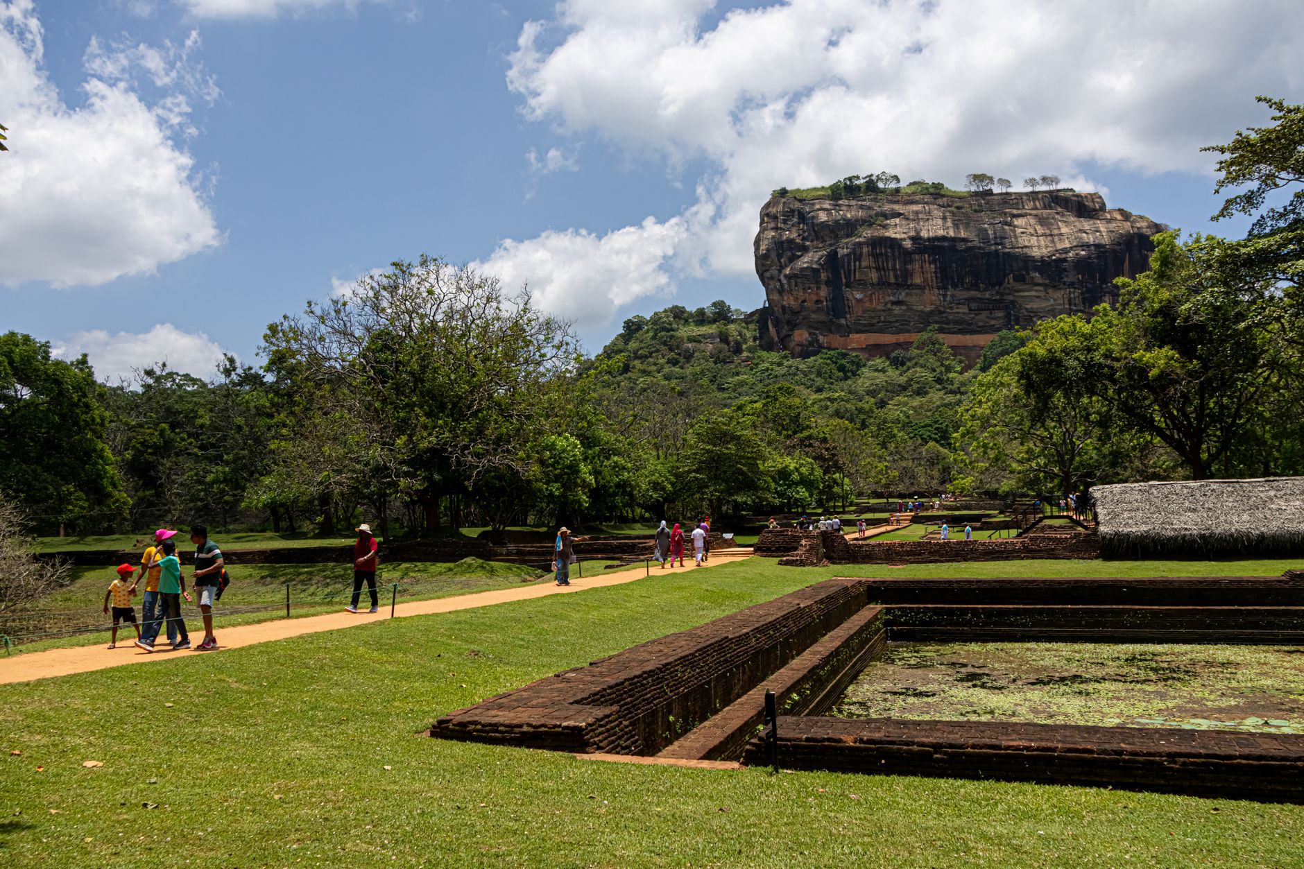
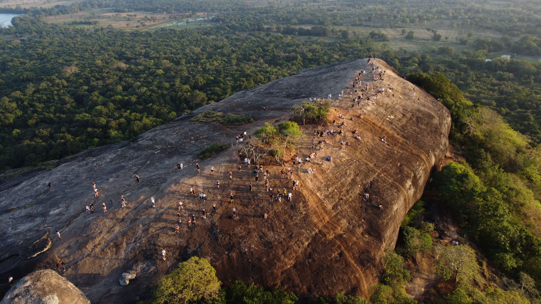
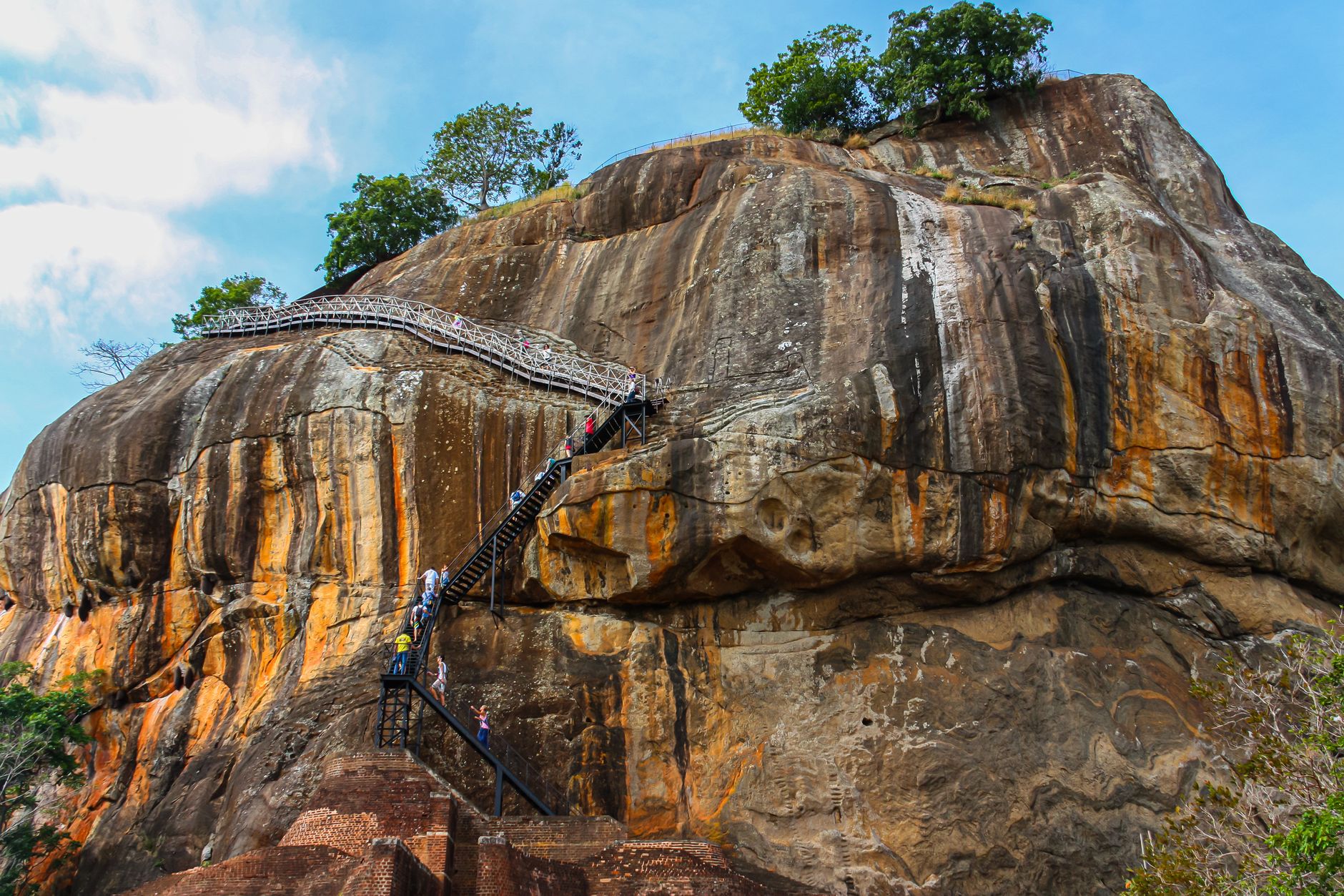
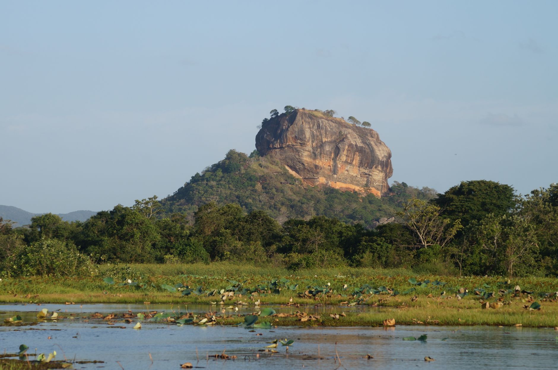
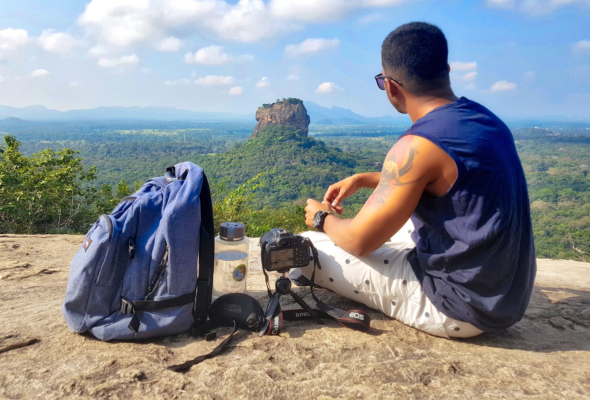
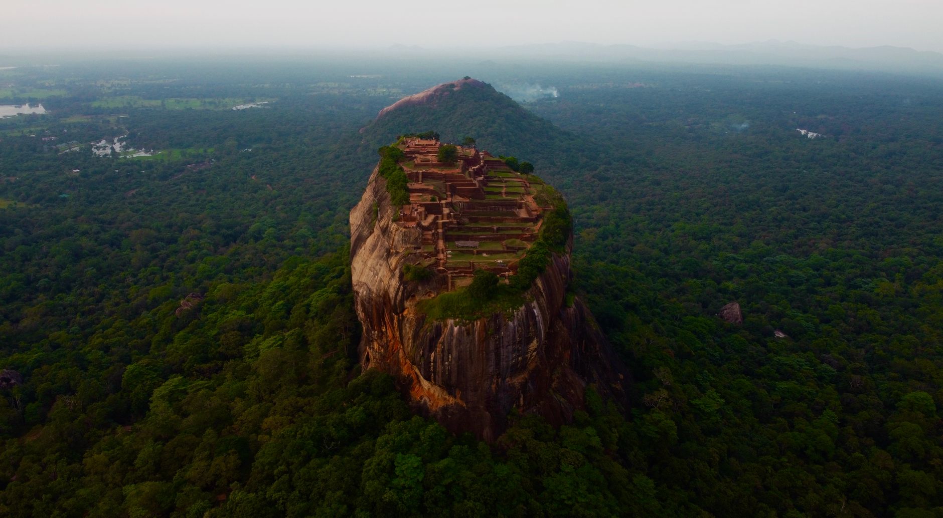
A 180-metre column of granite rises from the Sri Lankan jungle floor with the abruptness of something dropped from a great height. On its summit, reachable by roughly 1,200 steps, sit the ruins of a royal palace built in the late 5th century — pools, terraced gardens, and all — two hundred metres above the surrounding plain. Halfway up, two enormous lion paws carved in stone mark a gateway that once had a full lion's head above them.
Sigiriya is not simply a rock with a view. Its water gardens still follow an underground conduit network fed by an artificial lake. Its Mirror Wall carries verses in ancient Sinhala, Tamil, and Sanskrit — graffiti left by visitors across eight centuries. The whole site has been a UNESCO World Heritage site since 1982.
How Sigiriya came to be
King Kashyapa came to power in 477 CE by imprisoning and killing his father, King Dhatusena, then chose this near-vertical rock as his new capital — partly, the chronicles suggest, out of fear of his exiled half-brother Moggallana. For eighteen years he built upward: a palace on the summit, frescoes along the cliff face, symmetrical water gardens below, and that lion gateway on the midway plateau. In 495 CE Moggallana returned with an army. Kashyapa reportedly took his own life.
Moggallana moved the capital back to Anuradhapura and converted Sigiriya into a Buddhist monastery complex, which endured until the 13th or 14th century. The site then faded from wider knowledge until a Scottish officer named Jonathan Forbes reached it in 1831, directed by locals, and British explorer John Still formally rediscovered it in 1907.
Who and what shaped it
People who shaped it
Landmark buildings
See Sigiriya in motion
Plan your visit
On the map
When to go
April is the hottest month, with daytime temperatures reaching around 35°C — the climb feels it. January and the cooler months sit closer to 29°C, which is considerably more manageable on the steps. The site sits in a zone that receives rain from both monsoon systems, so mornings tend to be clearer and more reliable year-round.
Right now
Background & history adapted from Wikipedia (CC BY-SA) · specs from Wikidata (CC0) · weather from Open-Meteo · map data © OpenStreetMap contributors · photos from Wikimedia Commons / Unsplash with per-image credit. No third-party reviews or social posts reproduced.