
Šibenik
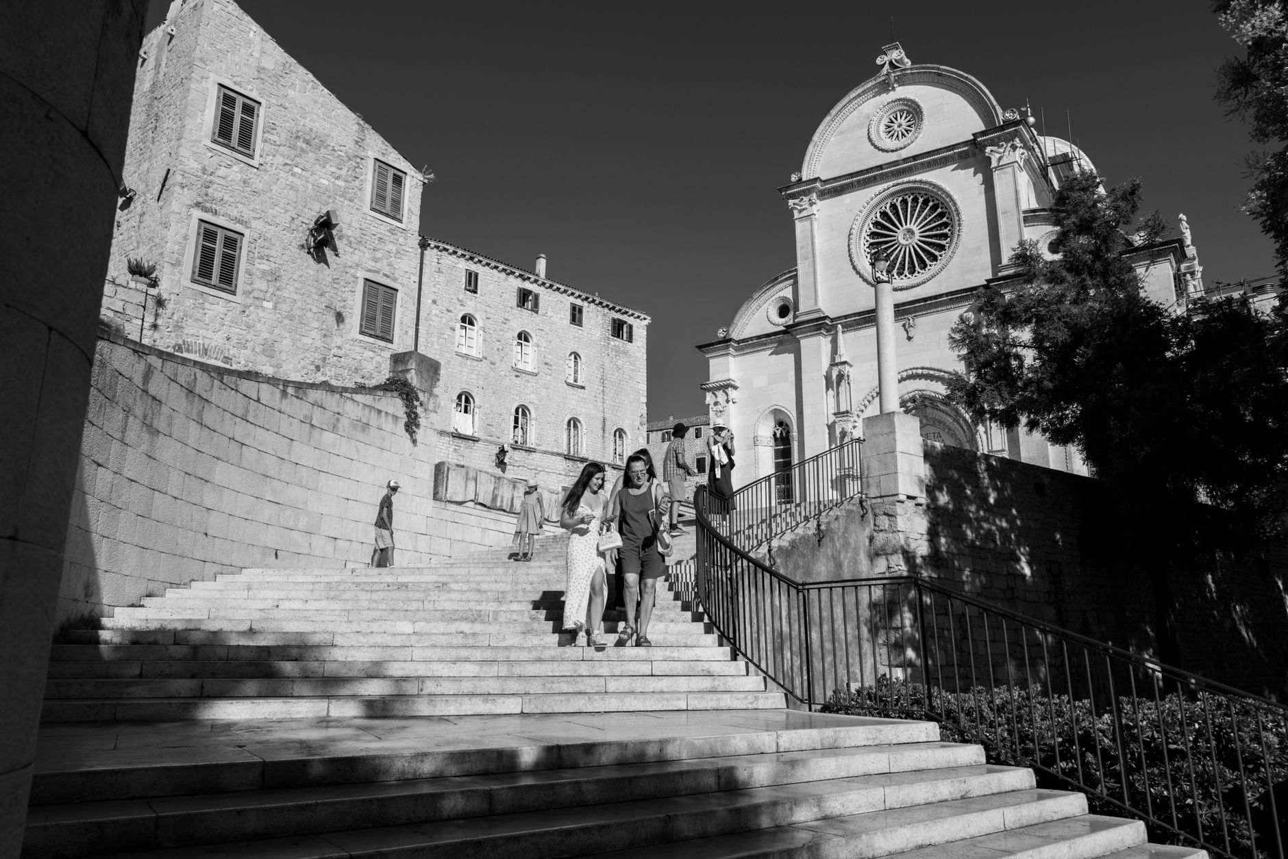
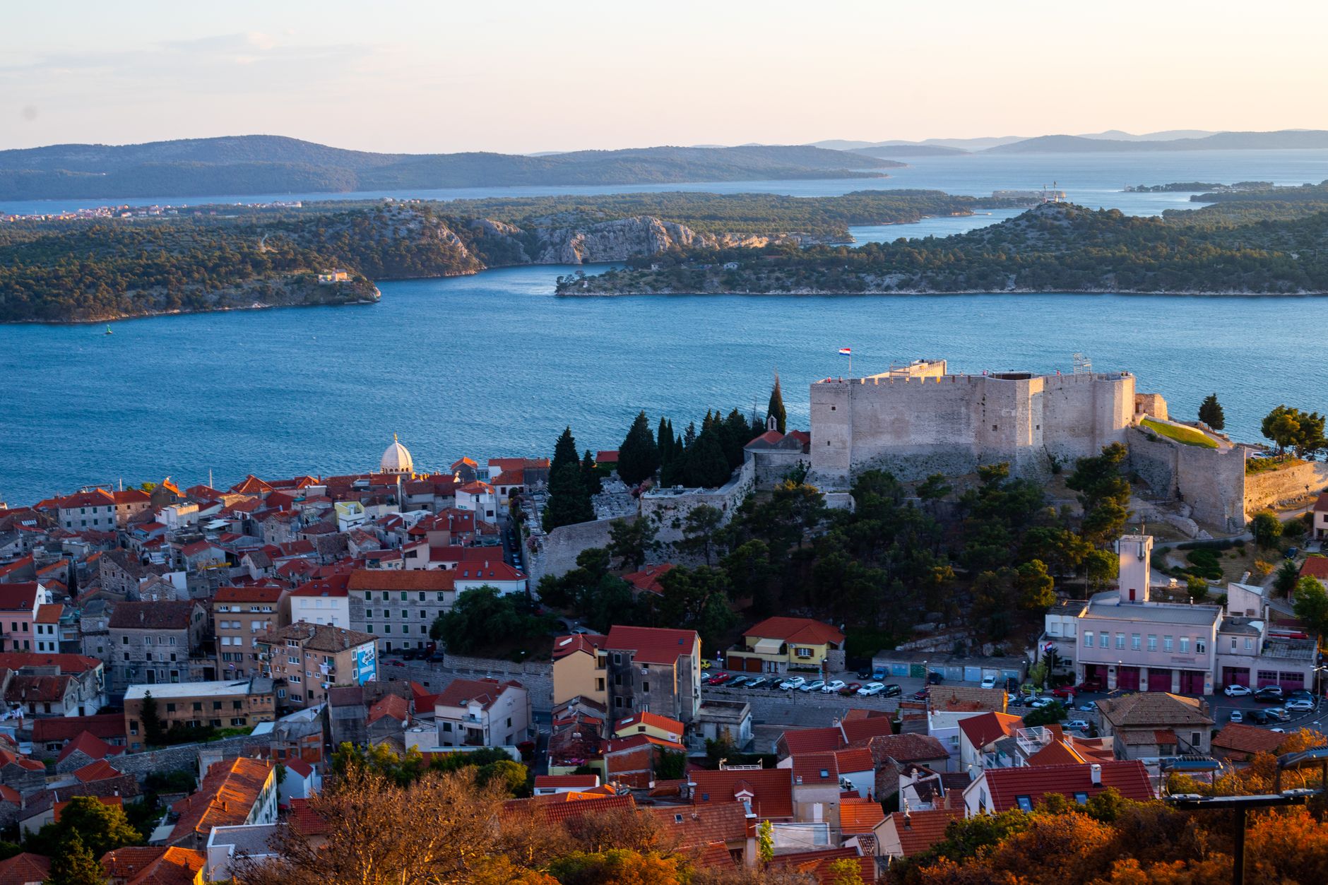
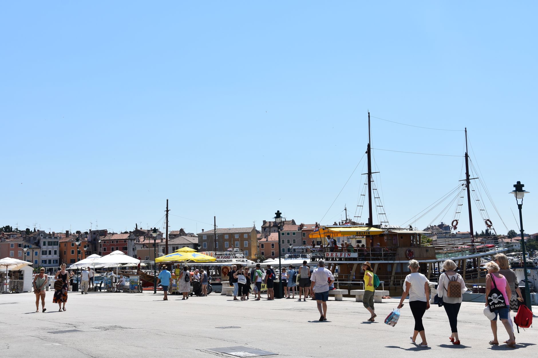
Šibenik sits at the point where the Krka River meets the Adriatic, a medieval city that grew up around a cathedral rather than a Roman grid. The Cathedral of St James took over a century to build — begun in 1431, consecrated in 1555 — and its stone dome still anchors the skyline at 32 metres. Unusually for Croatia, the city claims two UNESCO World Heritage sites, the second being the ring of Venetian sea fortresses that step up the hillside behind the old town.
This is a working Dalmatian city, not a stage set, and that gives it a different texture from the more polished ports along this coast. Ferries leave from the waterfront for small islands. Fortresses double as summer concert venues. The old town's lanes are tight enough that you'll get lost at least once, which is no bad thing.
How Šibenik came to be
Šibenik's first written record is precise: Christmas Day 1066, when King Petar Krešimir IV named the settlement in a royal charter. It received city status from the Hungarian king Stephen III in 1169 and a diocese by papal bull in 1298 — institutional milestones that reflect its growing weight on the Dalmatian coast. For most of the medieval period it was contested between Venice and the Croatian-Hungarian crown, with Venice finally consolidating control in 1412.
Under Venetian rule the city flourished and built its cathedral, though Turkish raids remained a persistent threat. Habsburg rule followed the fall of Venice in 1797, then a short Italian occupation after World War I, before the city joined the Kingdom of Serbs, Croats and Slovenes in 1921. During the Croatian War of Independence in the 1990s Šibenik was shelled; the cathedral dome, struck in September 1991, was repaired so quickly that no damage is visible today.
Who and what shaped it
People who shaped it
Landmark buildings
See Šibenik in motion
Plan your visit
On the map
When to go
Summers are hot and reliably sunny, with July and August the driest and most crowded months. Winters are mild but wet, and the shoulder months — May, June, and September — give you warm water, open ferries, and streets that belong a little more to the people who live here.
Right now
Background & history adapted from Wikipedia (CC BY-SA) · specs from Wikidata (CC0) · weather from Open-Meteo · map data © OpenStreetMap contributors · photos from Wikimedia Commons / Unsplash with per-image credit. No third-party reviews or social posts reproduced.