
Serowe
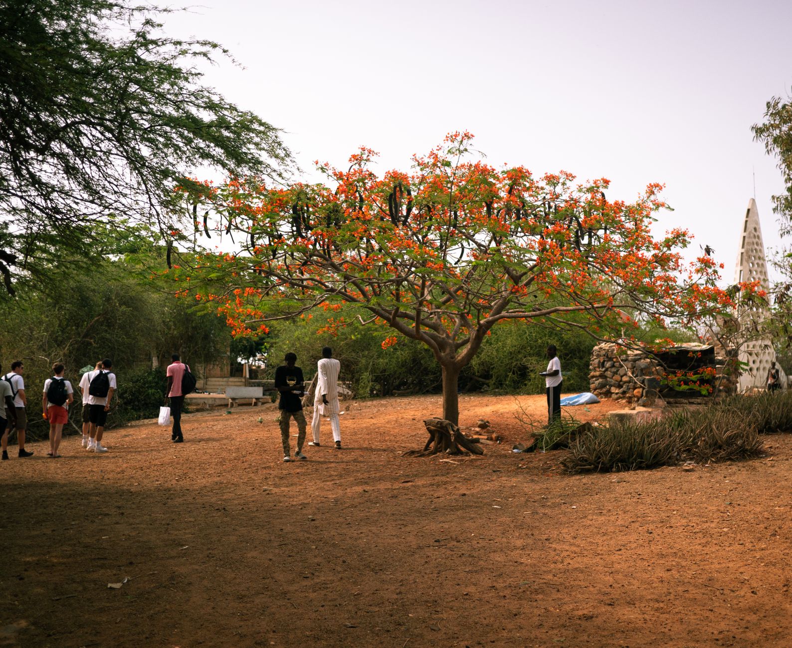
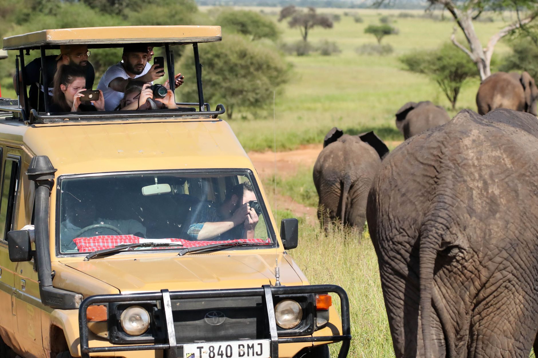
The name Serowe comes from a bulb plant that once told people water was near — a practical, hopeful kind of naming. Today it is the largest village in Botswana, and the capital of the Central District, sitting on a low ridge of red earth and acacia scrub about 240 kilometres north of Gaborone. The kgotla, the museum, the old London Missionary Society church rebuilt stone by stone from a previous town — these things are close together and walkable, which is rare.
This is where Botswana's story begins in the most personal sense. Seretse Khama, the country's founding president, was born here. His grandfather Khama III founded the town itself in 1902. The past is not behind glass; it is in the ground, in the family names, in the cemetery on the hill.
💛 What travellers fall for
People who come back tend to do two things: spend a quiet morning at the Khama III Memorial Museum reading the correspondence in the Bessie Head Room, then drive the 40 kilometres north to the Khama Rhino Sanctuary before the afternoon heat sets in. The sanctuary's rustic rooms are worth booking ahead — they make the whole trip feel less rushed.
Deals in Serowe
Book directly at the provider


How Serowe came to be
The site has carried significance since around 1817, but Serowe as a founded town dates to 1902, when Chief Khama III relocated the Bamangwato people here from Old Palapye and established a new capital. The name itself is a small accident of colonial record-keeping: the original word was Serowa, after a water-indicating bulb plant, but British settlers misspelled it and the people agreed to keep the version that stuck.
Khama III died in 1923; his installation ceremony for his successor Sekgoma II was filmed — one of the earliest records of its kind in the region. It was Sekgoma's son, Seretse Khama, who would go on to study law in London, marry Ruth Williams against the wishes of both the British government and his own family, and eventually return to lead Botswana to independence in 1966. He is buried in the royal cemetery here, beside Ruth.
Who and what shaped it
People who shaped it
Landmark buildings
See Serowe in motion
Plan your visit
On the map
When to go
Winters (roughly May through August) are short, dry, and clear — warm in the sun, noticeably cool in the evenings. Summers are long and hot with partial cloud cover and occasional rain, which can make outdoor sites like Thathaganyana Hill and the Khama Rhino Sanctuary better saved for early morning.
Right now
Background & history adapted from Wikipedia (CC BY-SA) · specs from Wikidata (CC0) · weather from Open-Meteo · map data © OpenStreetMap contributors · photos from Wikimedia Commons / Unsplash with per-image credit. No third-party reviews or social posts reproduced.