
Seoul
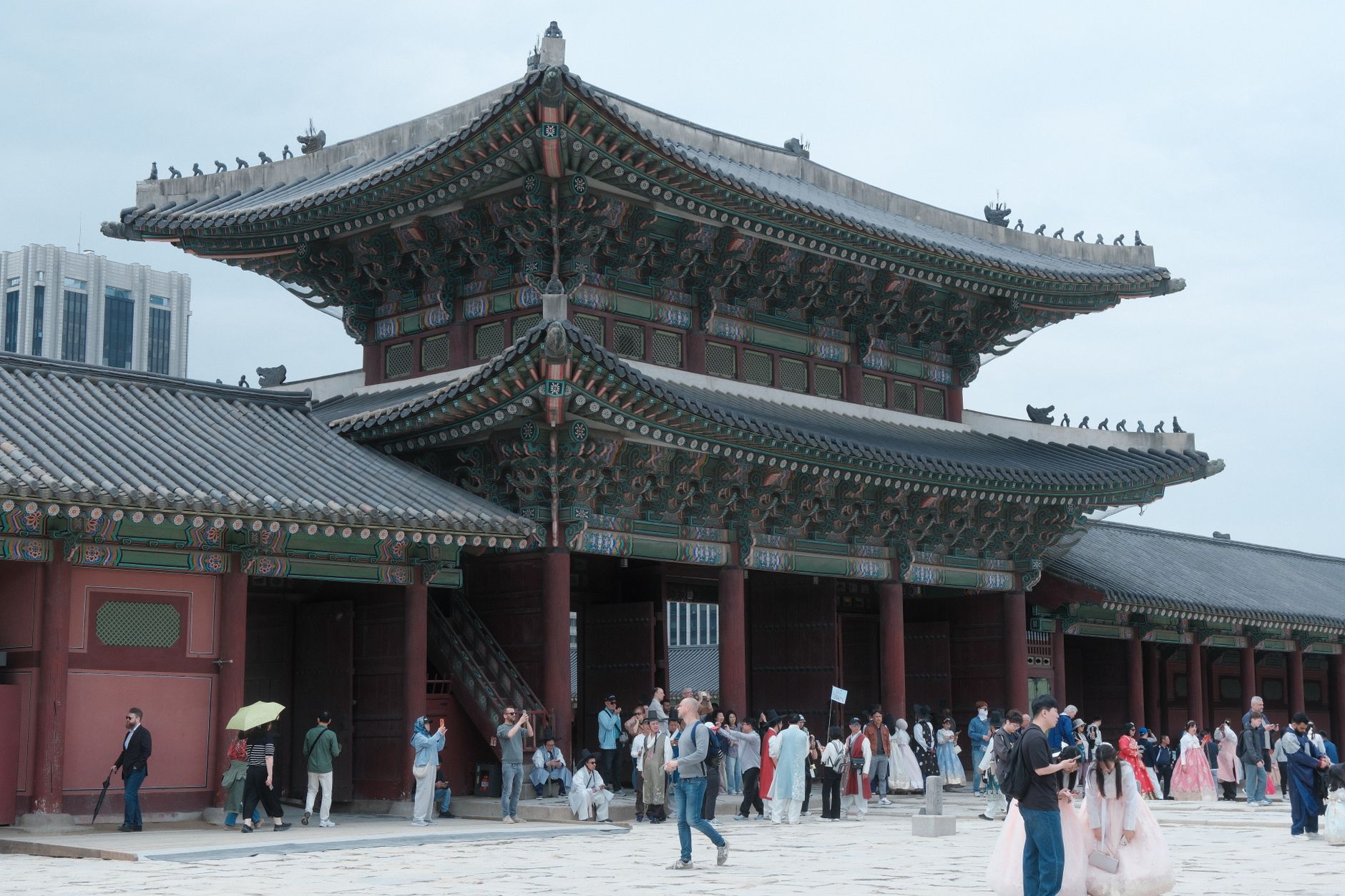
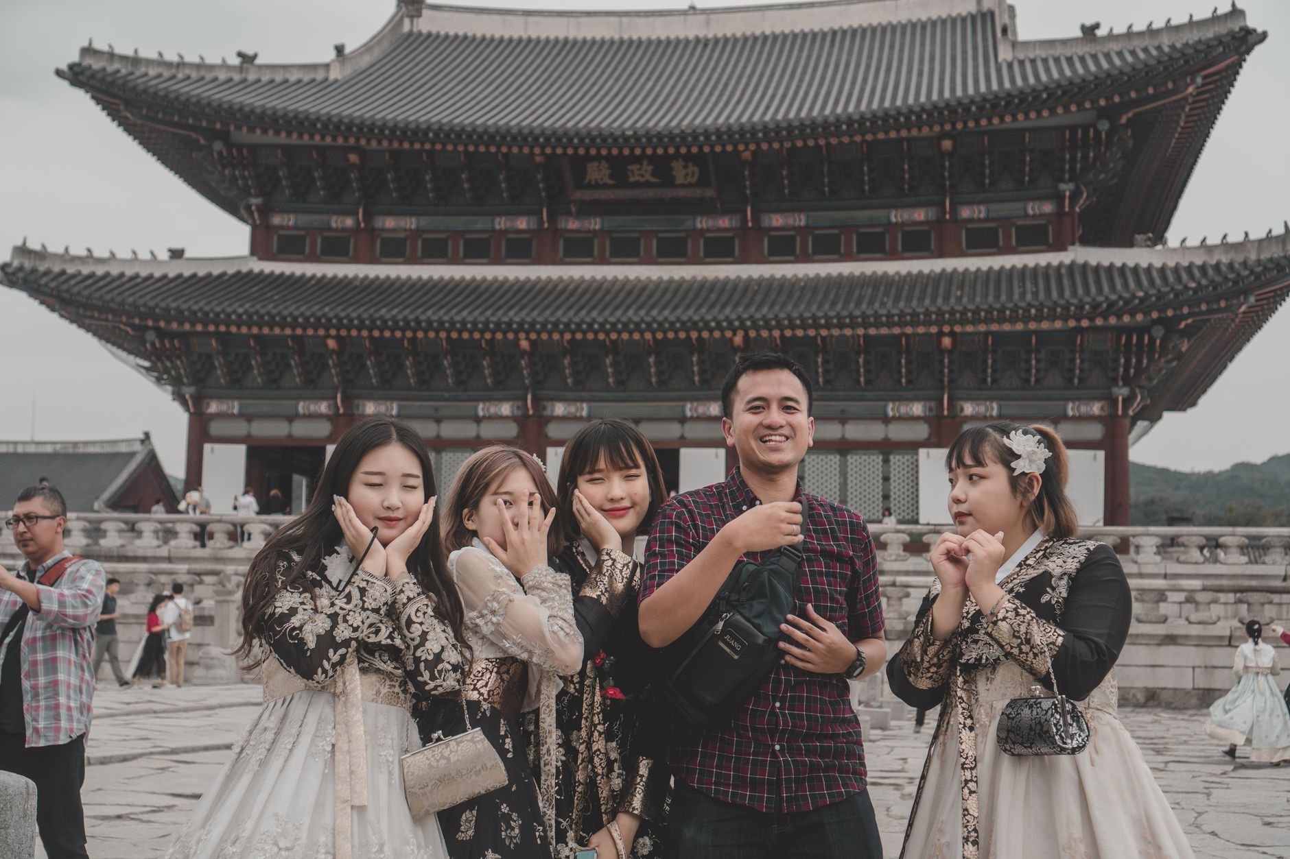
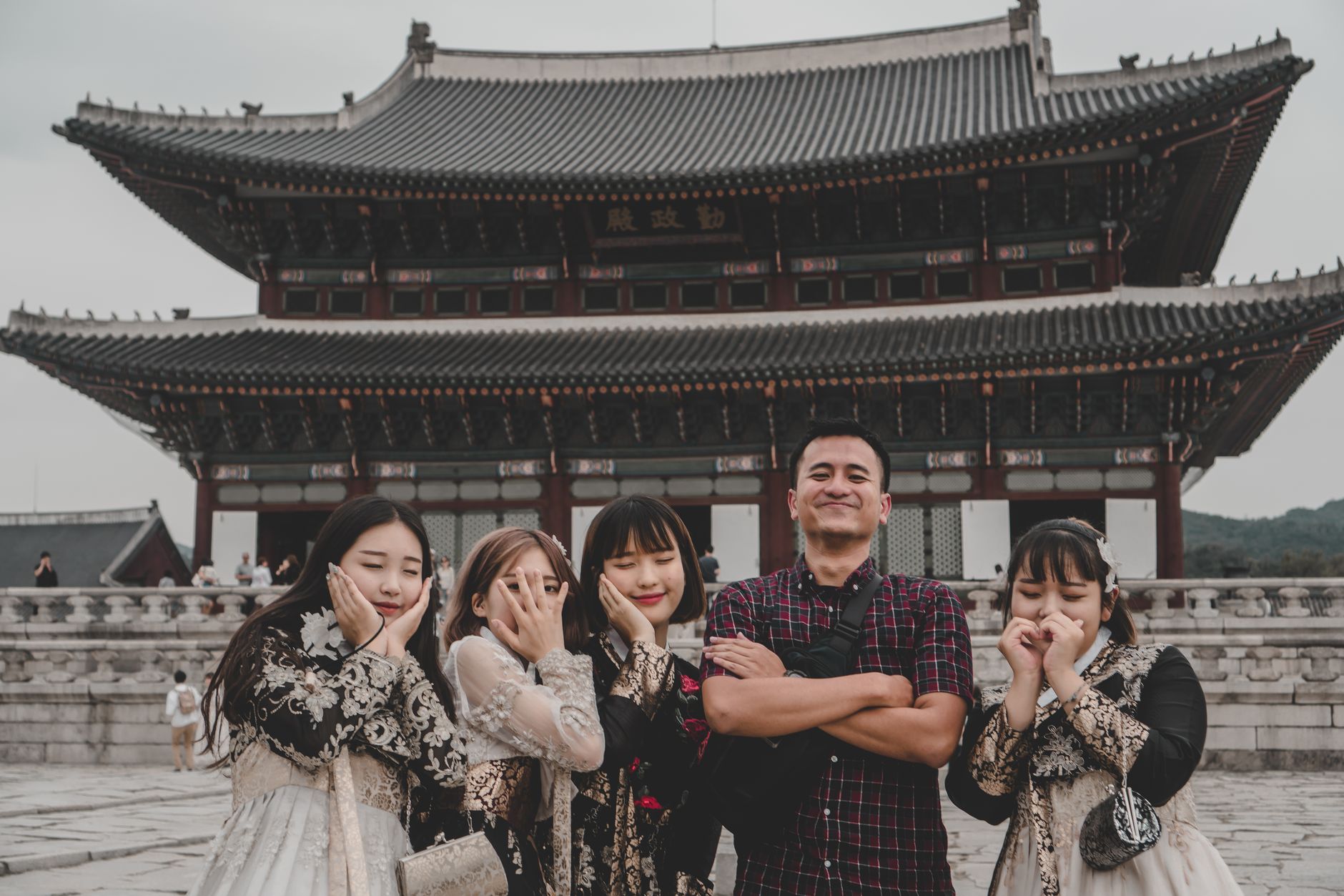
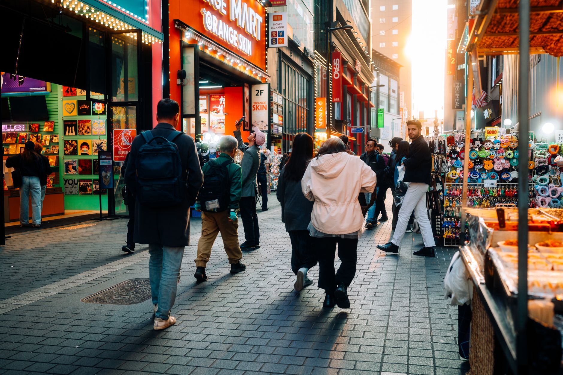
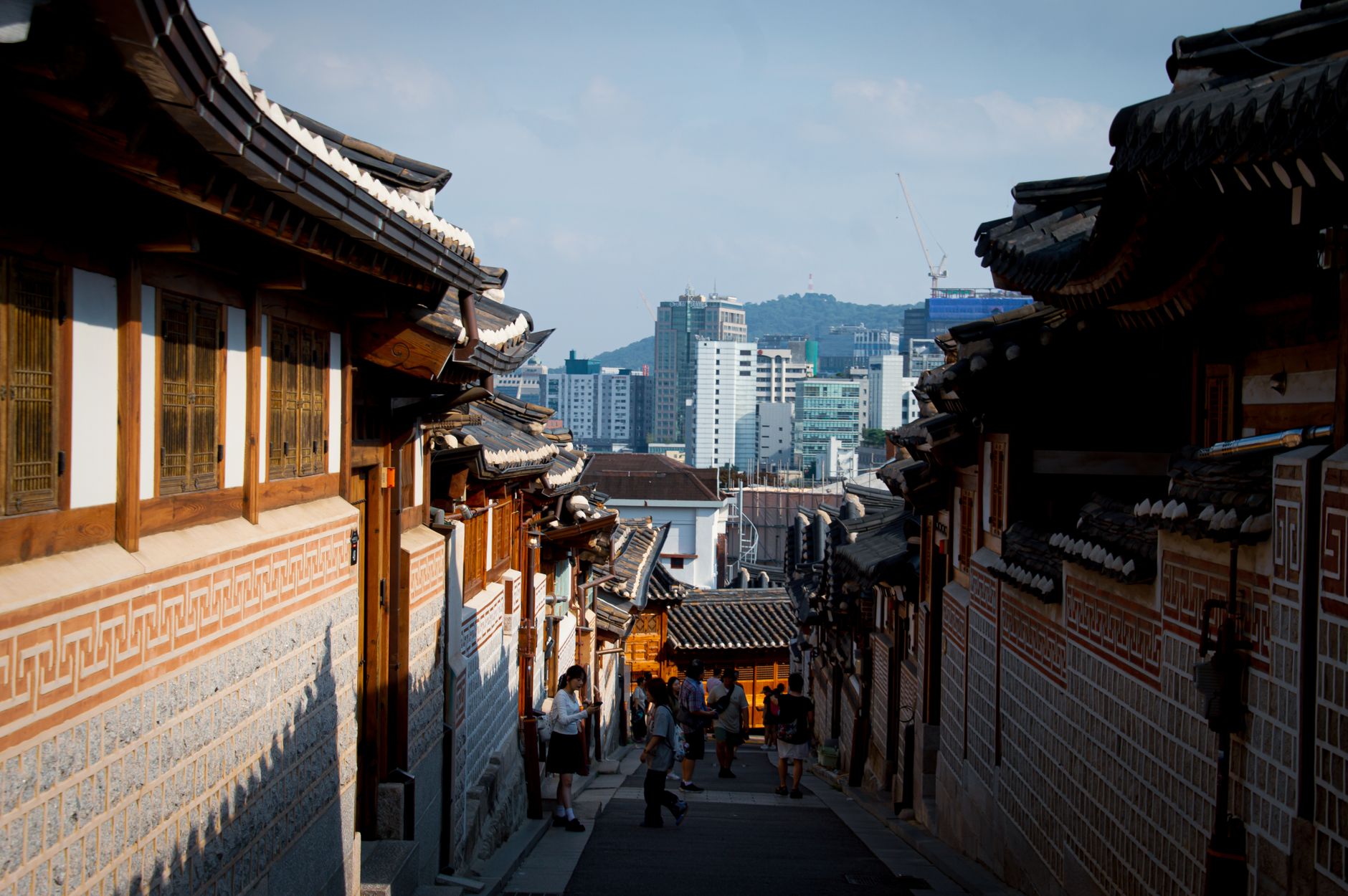
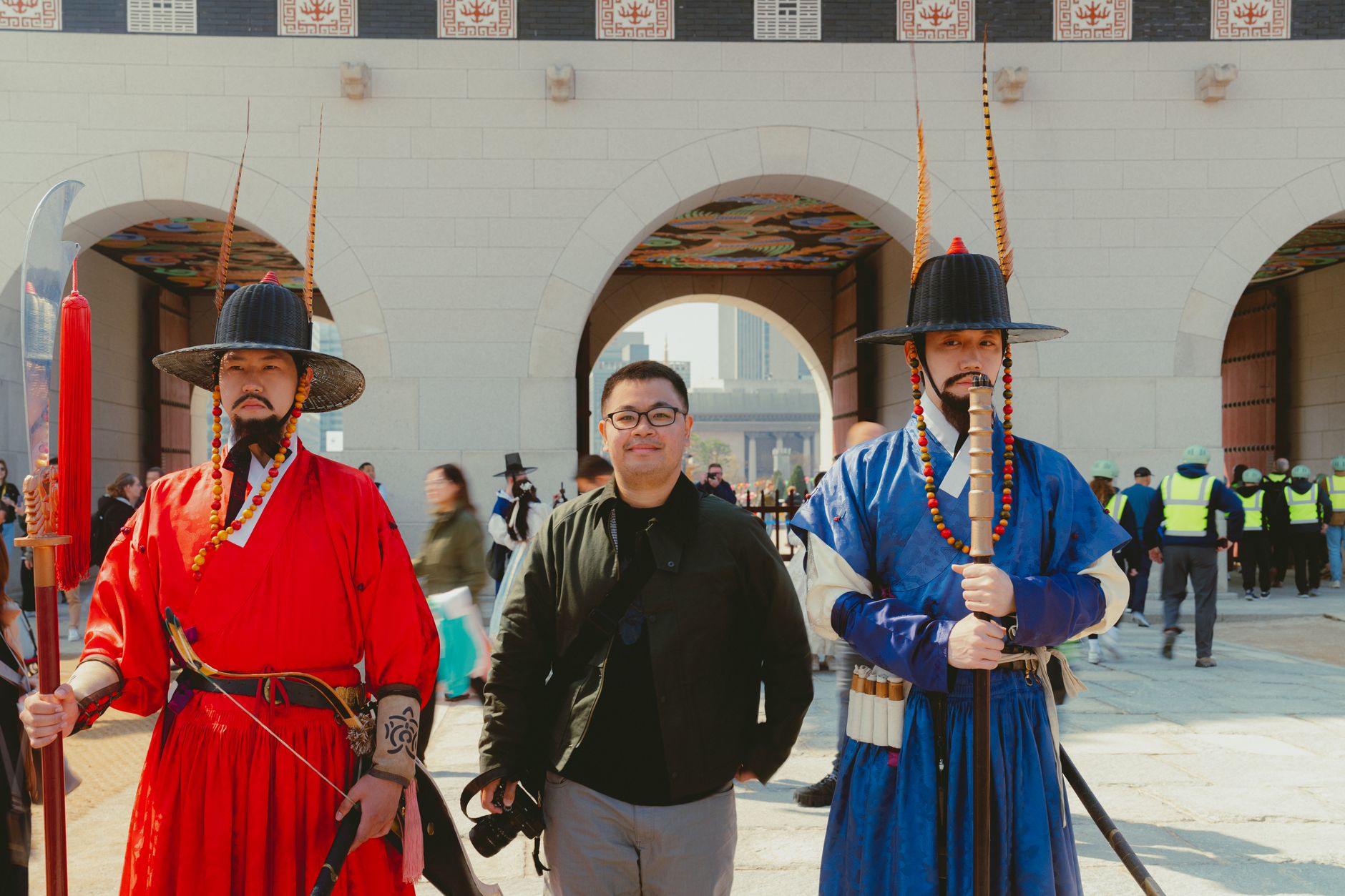
Seoul is a city where a 600-year-old royal palace sits in the shadow of a 554-metre skyscraper, and neither seems out of place. The Joseon kings laid out their capital along a grid of mountains and waterways that still shapes how the city breathes — you can trace the old fortress walls on a hillside walk, then descend into an eleven-line subway system with free WiFi on every train.
At street level, the scale is human. A restored stream, Cheonggyecheon, threads through the centre where a concrete overpass once stood. Neighbourhoods like Bukchon preserve whole hillsides of traditional hanok houses. The city rewards the kind of attention you pay to small things.
How Seoul came to be
The site has been settled since antiquity, but Seoul's modern story begins in 1394, when Yi Seong-gye — founder of the Joseon Dynasty, known by his throne name Taejo — moved the capital here, named it Hanyang, and ordered the construction of Gyeongbokgung Palace and the surrounding fortress walls. By 1429 the city already held 100,000 people. The fourth Joseon king, Sejong the Great, oversaw the creation of Hangul, the Korean phonetic alphabet, at the royal academy within the city.
The 20th century brought occupation, renaming, and war. Seoul changed hands four times during the Korean War and was left largely in ruins. The city that stands today was rebuilt from near nothing — which makes its density, confidence and sheer physical ambition all the more striking.
Who and what shaped it
People who shaped it
Landmark buildings
See Seoul in motion
Plan your visit
On the map
When to go
Winters are cold and dry, with January temperatures regularly falling below -10°C, so pack accordingly. Spring (April–May) and autumn (September–October) offer mild days and clear skies — the most reliable windows for outdoor time. Summers are warm and humid, with concentrated rainfall in July and August.
Right now
Background & history adapted from Wikipedia (CC BY-SA) · specs from Wikidata (CC0) · weather from Open-Meteo · map data © OpenStreetMap contributors · photos from Wikimedia Commons / Unsplash with per-image credit. No third-party reviews or social posts reproduced.