
Seoraksan National Park
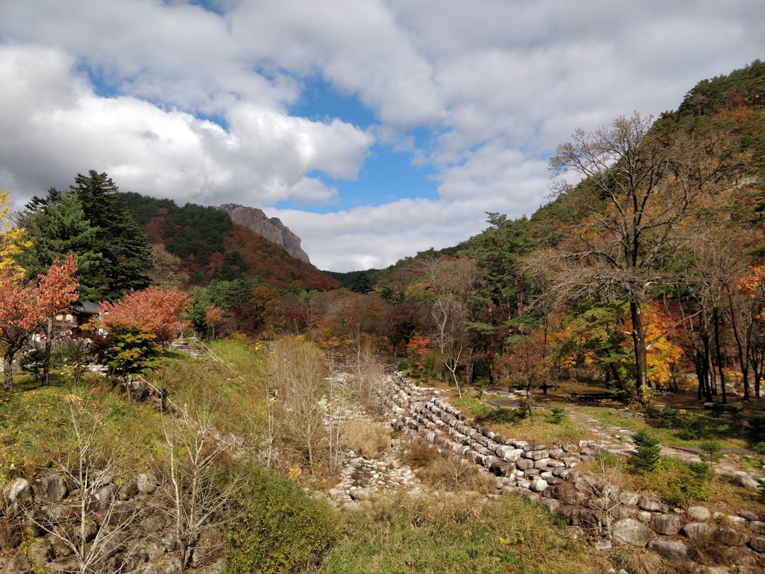

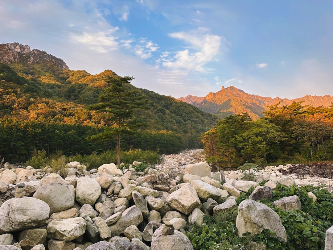
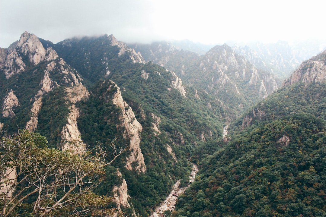
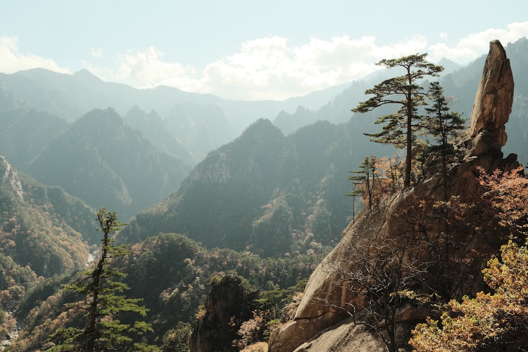
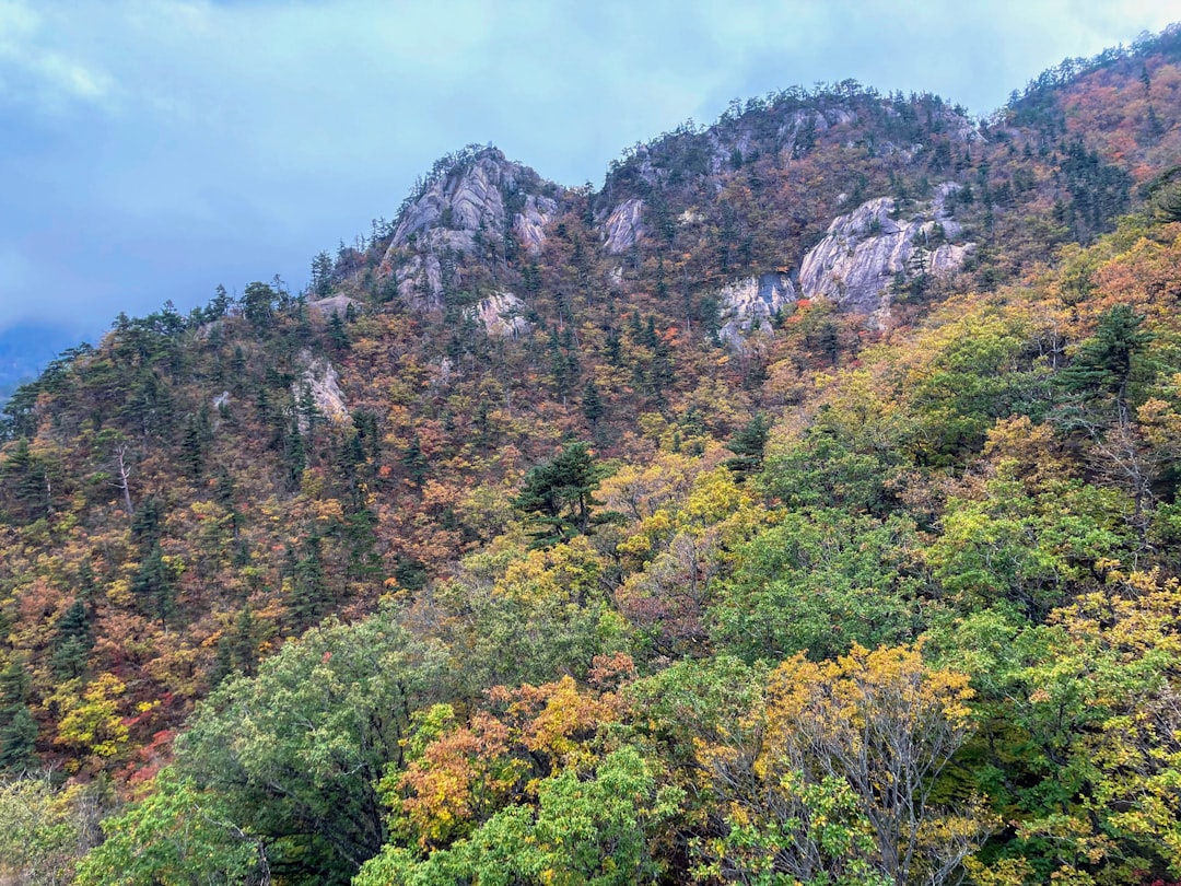
Seoraksan rises in the northeastern corner of South Korea as a mass of granite peaks, some bare and wind-scoured, others draped in forest that turns the colour of embers every October. The park's centrepiece, Ulsanbawi Rock, is a formation of six connected peaks with a 4-kilometre circumference — you see it long before you reach it.
At 180 kilometres from Seoul, Seoraksan is close enough for a weekend but large enough to reward two full days. Entry to the park costs nothing, the trails range from a gentle temple walk to serious ridge climbs, and the cable car to Gwongeumseong Fortress saves 700 metres of elevation for those who want the view without the ascent.
💛 What travellers fall for
People who come back tend to time their return for mid-October, when the crowds are real but the colour is worth it. They skip the cable car line at opening and walk to Sinheungsa Temple first — the morning light on the main hall is better anyway. The Baekdamsa side of the park, named for the hundred pools fed by Daecheongbong's slopes, gets far fewer visitors than the main Sogongwon entrance.
How Seoraksan National Park came to be
The site has been in continuous use for religious practice since 652 CE, when the monk Jajang founded what is now Sinheungsa Temple under its original name, Hyangseongsa. The scholar-monk Uisang rebuilt it in 701 CE and developed it into a centre for Hwaeom Buddhism. Around the same period, the monk Wonhyo used Geumganggul Cave as a place of solitary retreat — the cave temple carved into the Silla-era rock face is still accessible on foot.
The park itself was designated a nature reserve in November 1965 and formally established as South Korea's fifth national park on 24 March 1970. UNESCO added it to its Biosphere Preservation network in 1982. The Great Unification Buddha, a 14.6-metre gilt-bronze statue weighing 108 tonnes, was erected over a decade between 1987 and 1997 and now stands near the Sinheungsa complex.
Who and what shaped it
People who shaped it
Landmark buildings
See Seoraksan National Park in motion
Plan your visit
On the map
When to go
Autumn (September to November) brings mild temperatures around 19–21°C and the lowest rainfall of the year — the mountains run red and gold through October, which is also the busiest month. Summer is hot and wet, particularly August; spring is mild but high trails may stay snow-closed until mid-May; winter brings genuine snow and ice, which makes for striking scenery but limits where you can safely walk.
Right now
Background & history adapted from Wikipedia (CC BY-SA) · specs from Wikidata (CC0) · weather from Open-Meteo · map data © OpenStreetMap contributors · photos from Wikimedia Commons / Unsplash with per-image credit. No third-party reviews or social posts reproduced.