
Seongsan
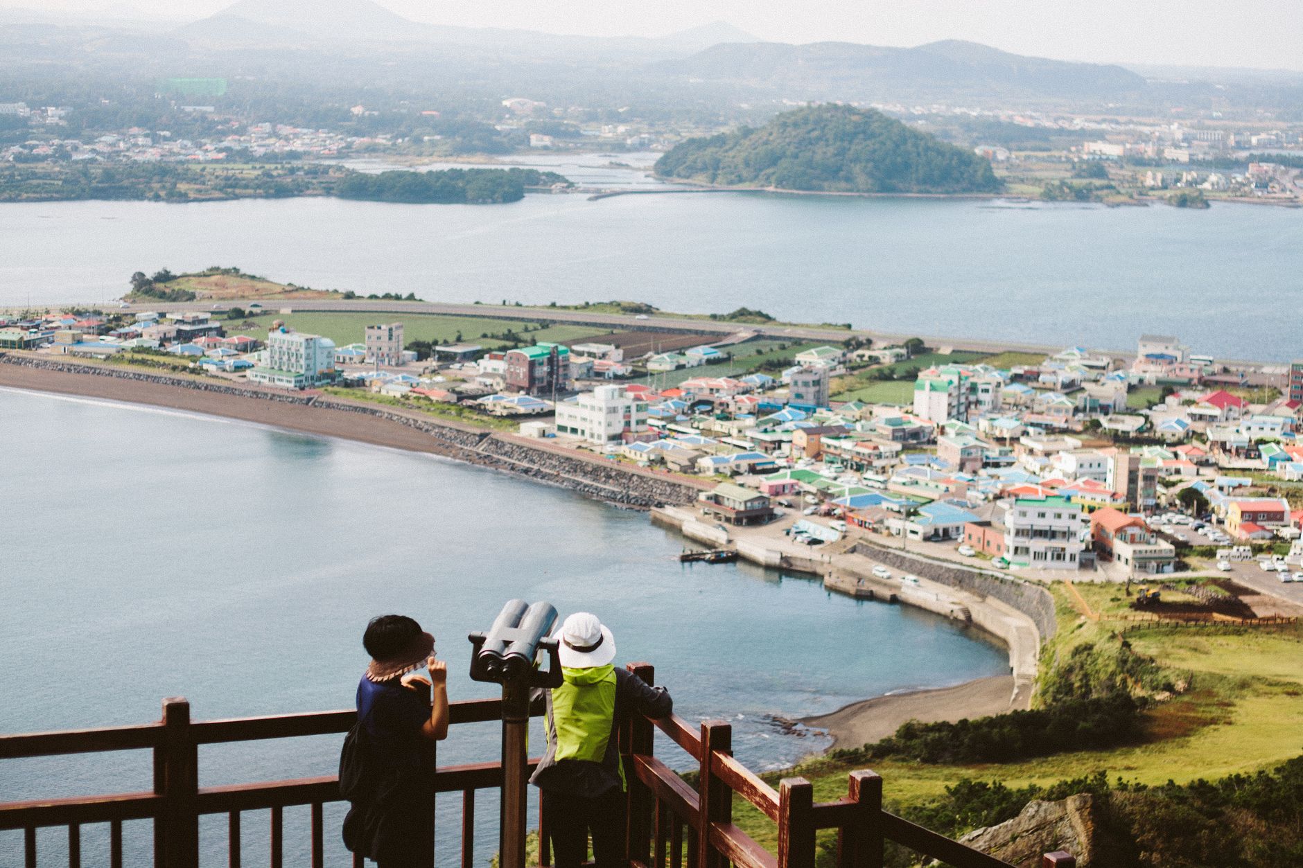
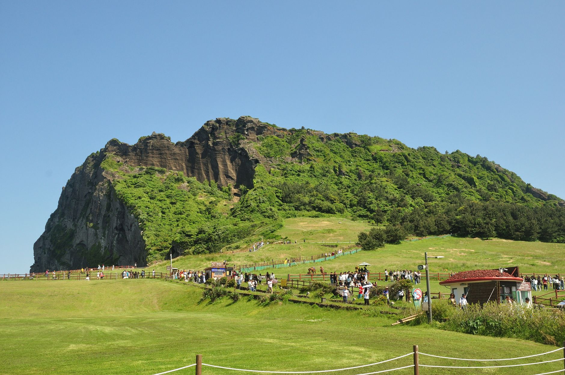
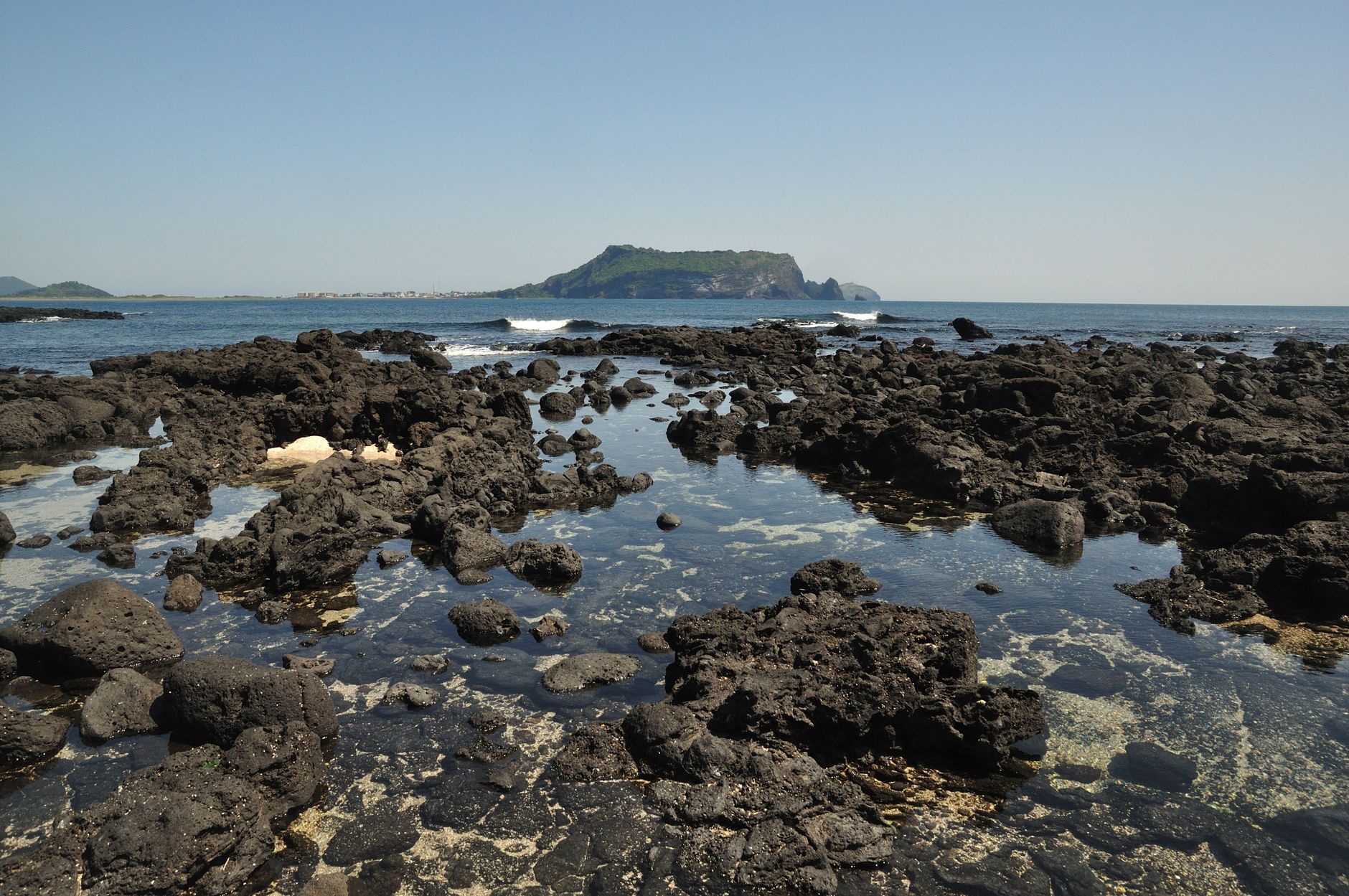
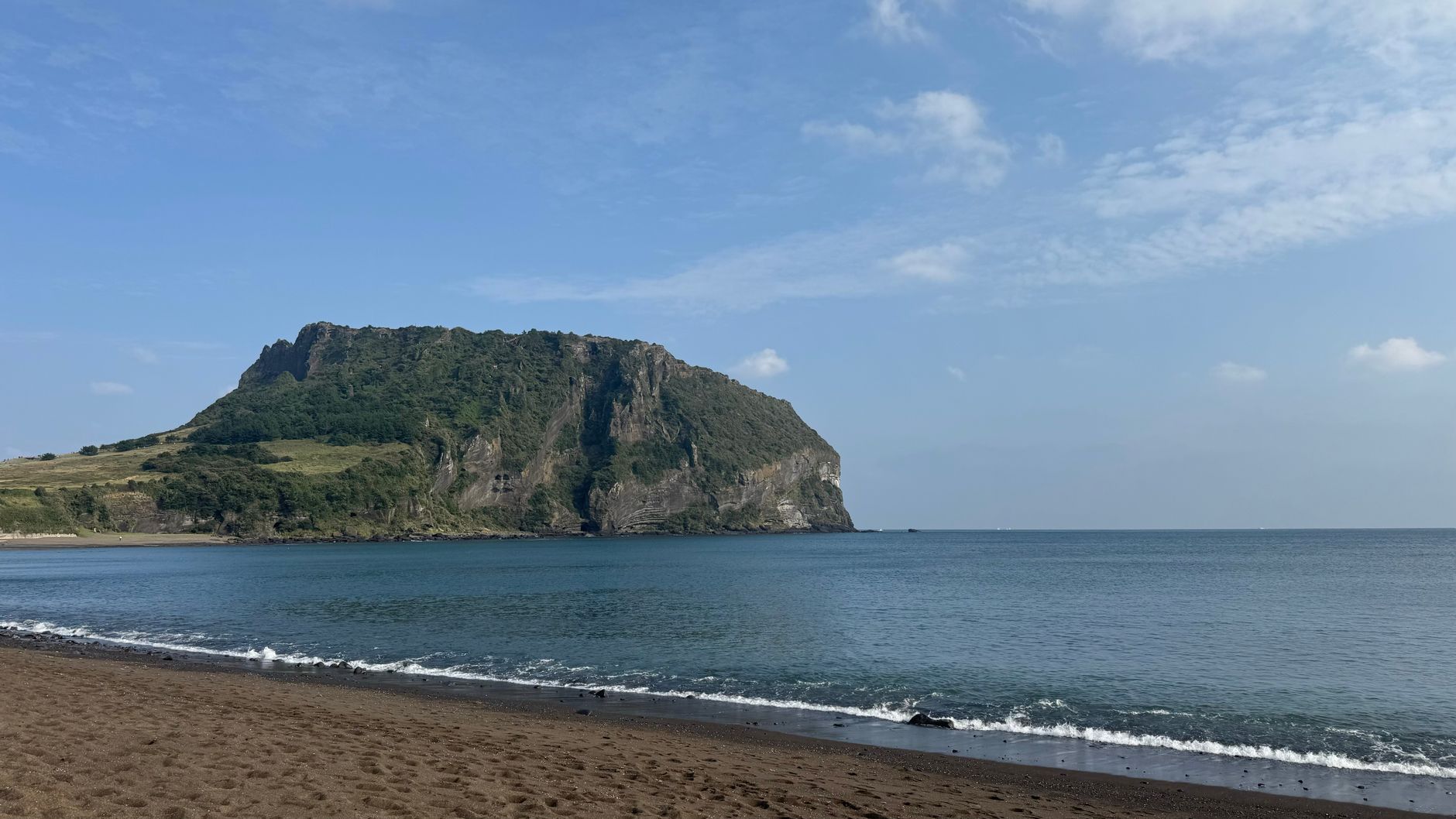
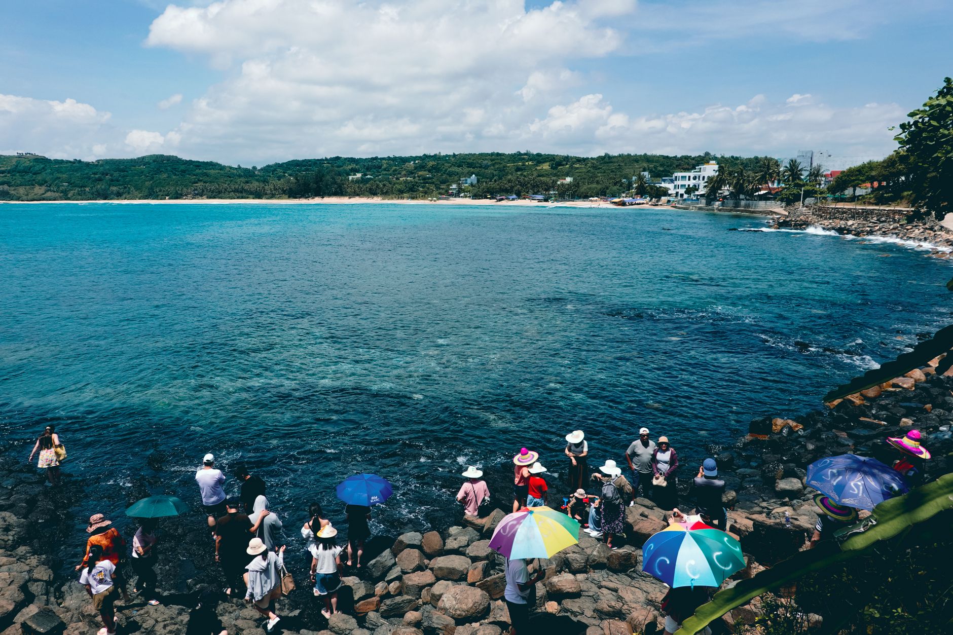
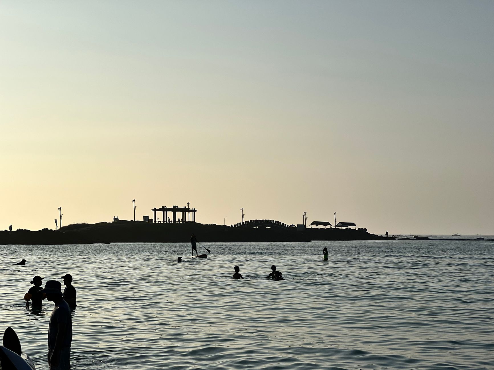
A volcanic crater sits open to the sky at the top of Seongsan Ilchulbong, its rim lined with 99 jagged rock spires that look, from below, like the teeth of a crown. The peak rose from a shallow seabed around 6,700 years ago through a series of hydrovolcanic eruptions — water meeting magma — and the resulting tuff cone, 182 metres high with a crater 600 metres across, now anchors the eastern tip of Jeju Island.
At the base, haenyeo — Jeju's celebrated female free-divers — surface from the sea with abalone and sea urchin, as they have for generations. The climb to the summit takes under 45 minutes. The crater meadow at the top, ringed by those stone spires, is genuinely unlike anything else on the island.
💛 What travellers fall for
People who return tend to time it for the haenyeo performance at 13:30 rather than 15:00 — smaller crowd, better light. In spring, the path up is flanked by canola flowers gone almost aggressively yellow against the dark rock. Catch the 111 express from Jeju City; it drops you directly at the entrance in just over an hour.
Deals in Seongsan
Book directly at the provider


How Seongsan came to be
Seongsan Ilchulbong formed roughly 6,700 years ago when magma forced its way up through a shallow coastal seabed, producing the explosive Surtseyan eruptions that built the tuff cone visible today. For most of its human history it was simply a promontory — until 1940, when a road finally connected it to the rest of Jeju Island.
The centuries left their marks in less obvious ways. During the Goryeo period, when Mongol rulers controlled Jeju in the 13th and 14th centuries, horse ranches spread across the land around the peak. In 1943, the Japanese military carved 24 cave fortifications into the coastal cliffs and stored munitions inside them — a reminder, still visible if you know where to look, of the island's position in the Pacific War. UNESCO added Seongsan Ilchulbong to the World Heritage List in July 2007, and it became a Global Geopark site in October 2010.
Who and what shaped it
Landmark buildings
See Seongsan in motion
Plan your visit
On the map
When to go
Seongsan sits on the southeastern coast of Jeju and catches both the East Asian monsoon and warm currents from the Tsushima, making it one of the wetter corners of an already rainy island — pack accordingly. Spring and autumn bring the most comfortable temperatures and clearer skies; winter stays mild, rarely dipping below freezing, but sunrise — the whole point of arriving early — comes as late as 7:00 a.m.
Right now
Background & history adapted from Wikipedia (CC BY-SA) · specs from Wikidata (CC0) · weather from Open-Meteo · map data © OpenStreetMap contributors · photos from Wikimedia Commons / Unsplash with per-image credit. No third-party reviews or social posts reproduced.