
Sedgefield

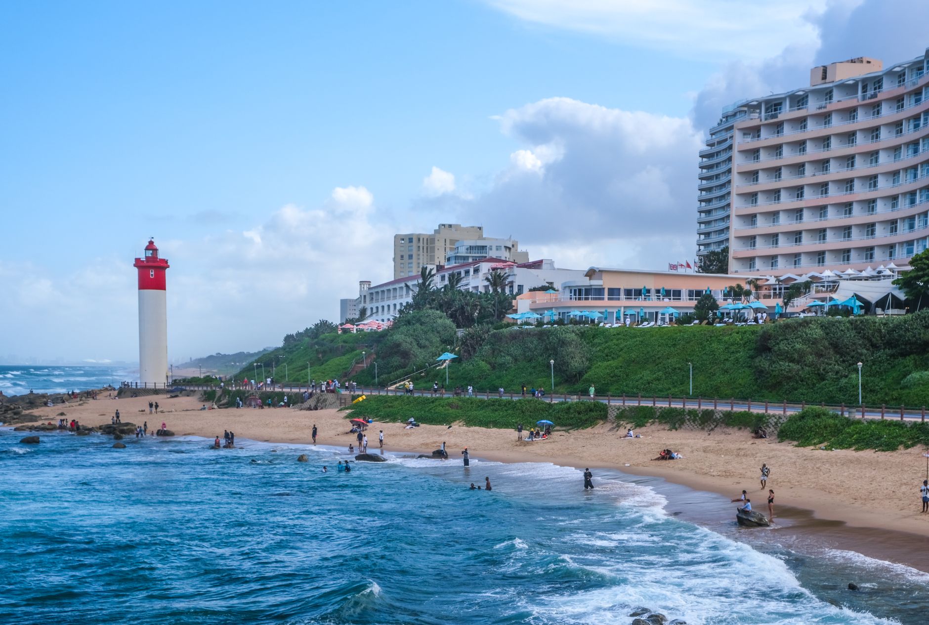
Sedgefield moves at the pace its motto prescribes — the tortoise sets it — and the town takes that seriously enough to have become the first African member of the Cittaslow movement, a global network of places that have formally agreed not to hurry. On the N2 between George and Knysna, it sits between two bodies of water: the Swartvlei Lagoon to the west and Groenvlei, the area's only freshwater lake, to the east, with the Indian Ocean just over the dunes.
Mosaic artworks appear throughout the streets, a quiet civic project that has given the town an unofficial second identity. On Saturday mornings the Wild Oats Community Farmers Market draws people in from the surrounding Garden Route. The rest of the week, Sedgefield largely returns to itself.
💛 What travellers fall for
People who come back tend to mention the same things: arriving early enough at Wild Oats to get the good bread, walking out to Gericke's Point when the tide is low, and the particular quality of an afternoon at Groenvlei — flat water, no crowds, the Goukamma Nature Reserve holding the far shore. The paragliding launch at Cloud Nine, off an ancient sand dune, gets mentioned too, even by people who only watched.
Deals in Sedgefield
Book directly at the provider


How Sedgefield came to be
The land that became Sedgefield was originally granted as the farm Ruigtevlei to a widow named Meeding by Lord Charles Somerset. After her death in 1878 it was divided into nine lots. John Barrington bought two of them in 1894 and named the farm Sedgefield, after the English village in County Durham where his father Henry — a politician, farmer and industrialist — had been born. The property passed through the family to John's sister Kate Maurice and then, in 1911, was sold to Salmon Terblans.
Terblans worked with surveyor Thomas Dunbar Moodie to investigate whether the land could become a township. Moodie drew up the plan in 1926; formal proclamation came in 1929 under the Knysna Divisional Council. From 1927, the George and Knysna Herald was already advertising it as a 'new winter resort.' The railway bridge over the Swartvlei was completed in 1928, the road through town not until 1947.
Who and what shaped it
People who shaped it
Landmark buildings
See Sedgefield in motion
Plan your visit
On the map
When to go
Summers reach around 27°C with long days and enough sun to make the five beaches worth planning around; winters are genuinely mild by day — around 20°C — though nights drop to near 8°C. The wettest month is November, but annual rainfall spreads fairly evenly, and the Garden Route's reputation for sudden coastal mist applies here as much as anywhere on the N2.
Right now
Background & history adapted from Wikipedia (CC BY-SA) · specs from Wikidata (CC0) · weather from Open-Meteo · map data © OpenStreetMap contributors · photos from Wikimedia Commons / Unsplash with per-image credit. No third-party reviews or social posts reproduced.