
Scottish Highlands, Scotland, UK
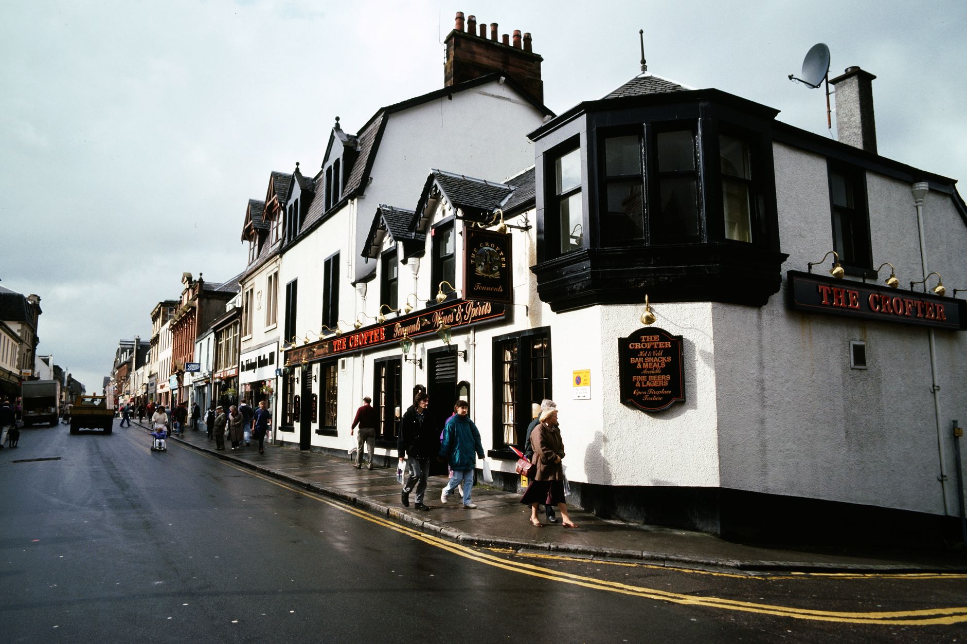

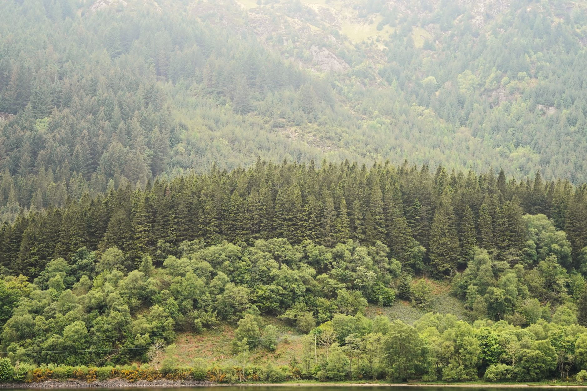
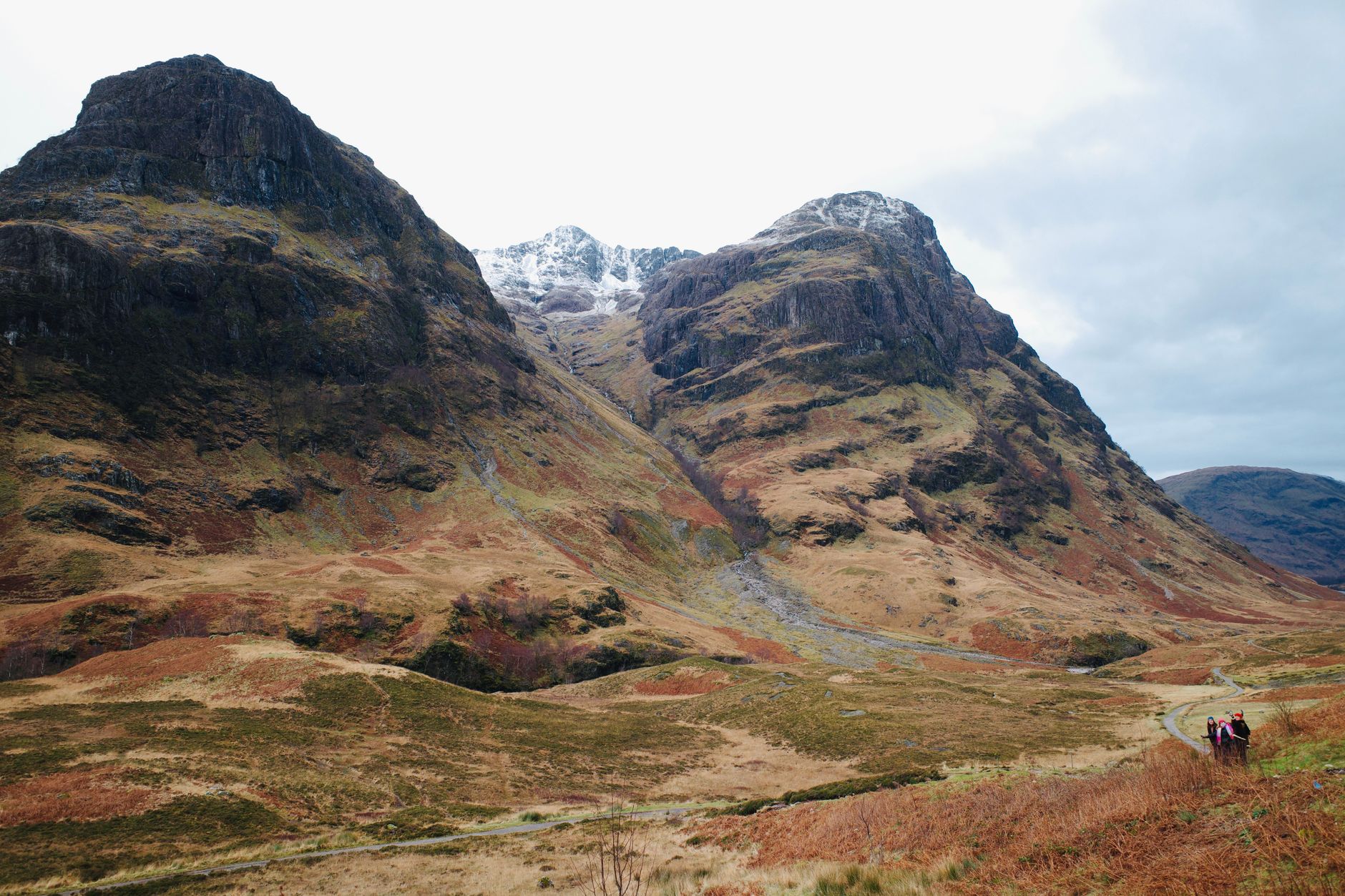
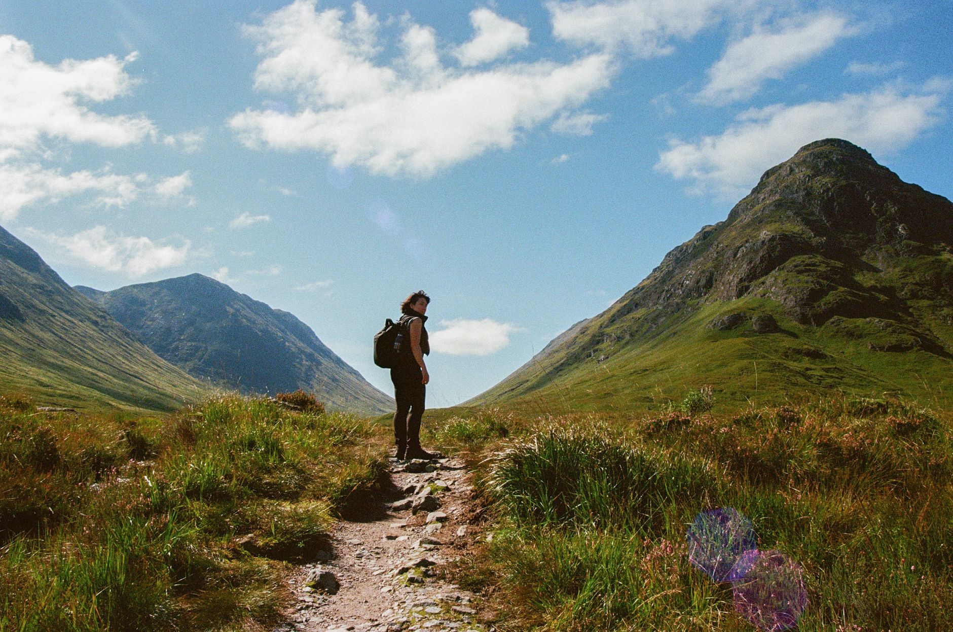
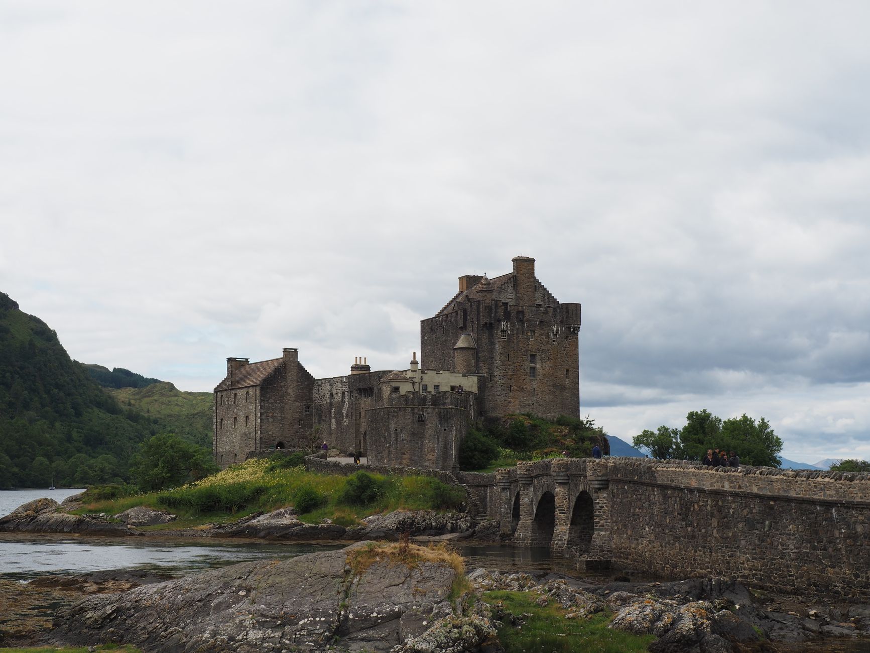
The Highlands begin where the road narrows and the sky takes over. This is the largest region in the United Kingdom by area, a place of deep freshwater lochs — Loch Ness holds more water than all the lakes of England and Wales combined — and mountains that rise above everything else on the island. Ben Nevis tops out at 4,411 feet, the highest point in Britain.
The landscape is only part of it. Thirty-plus whisky distilleries dot the region, Eilean Donan sits on its loch causeway like something from a dream of Scotland, and a Victorian railway viaduct at Glenfinnan still carries trains through the hills.
💛 What travellers fall for
People who keep coming back tend to organise themselves around a base — Inverness for the east, Fort William for the west — and resist the urge to cover too much ground. The West Highland Line from Glasgow to Mallaig is worth riding for its own sake, not just as transport. The waterfall Eas a' Chual Aluinn, near Inverpolly, rewards the walk.
How Scottish Highlands, Scotland, UK came to be
The Highlands were Pictish and then Gaelic territory, shaped for centuries by the clan system — extended kinship networks that Scottish kings, particularly James VI, viewed as a persistent challenge to central authority. After the Jacobite cause ended at Culloden in 1746, Westminster passed laws designed to dismantle clan culture: the kilt was banned, Gaelic suppressed.
What followed was the Highland Clearances. From the late 18th century into the 19th, landlords — some ruined by the collapse of the kelp industry between 1815 and 1825, others simply converting land to sheep pasture — removed tenants by force. The Sutherland clearances in Strathnaver around 1810–20 are among the most documented. The Potato Famine of the 1840s deepened the crisis. Crofters finally won security of tenure through the Crofters' Holdings Act of 1886, after years of agitation and the sporadic violence known as the Crofters' War.
Who and what shaped it
People who shaped it
Landmark buildings
See Scottish Highlands, Scotland, UK in motion
Plan your visit
On the map
When to go
Summers (June to August) bring long daylight hours and the best chance of clear skies, though rain is possible in any month. Winters are cold, often dramatic, and occasionally snow-covered above the glens; midges are mercifully absent but roads can close.
Right now
↡ Cities
Background & history adapted from Wikipedia (CC BY-SA) · specs from Wikidata (CC0) · weather from Open-Meteo · map data © OpenStreetMap contributors · photos from Wikimedia Commons / Unsplash with per-image credit. No third-party reviews or social posts reproduced.