
Sarawak
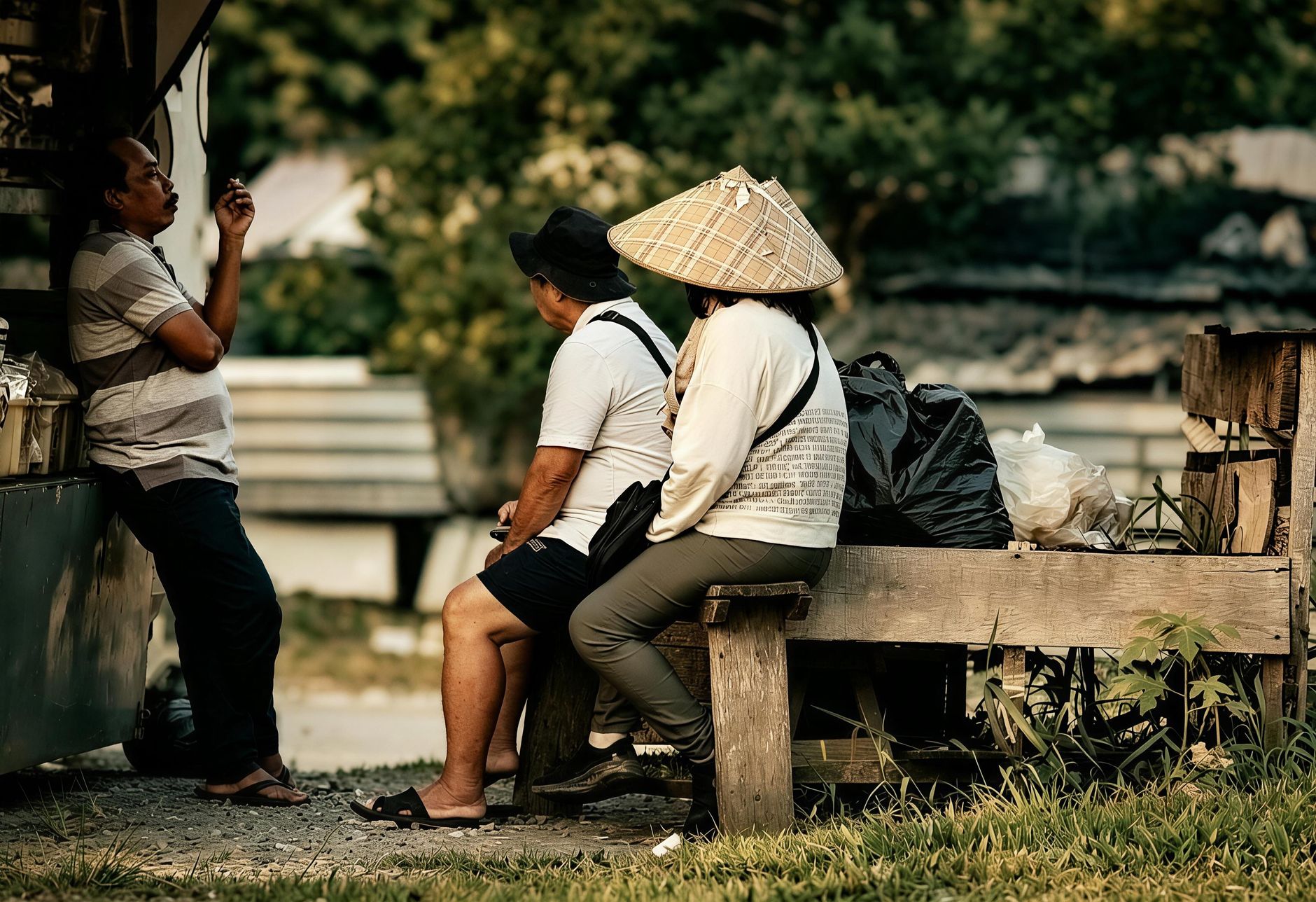
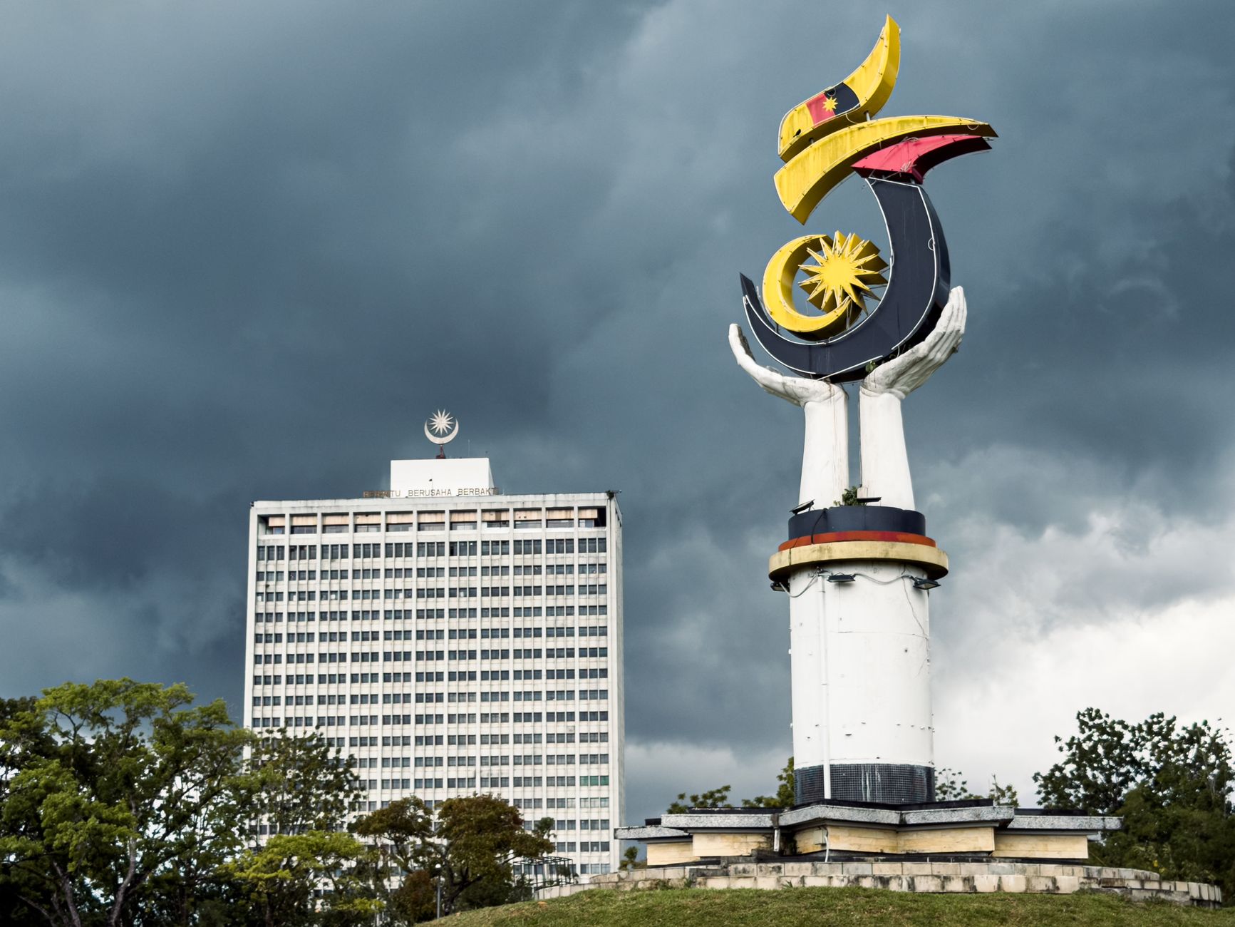
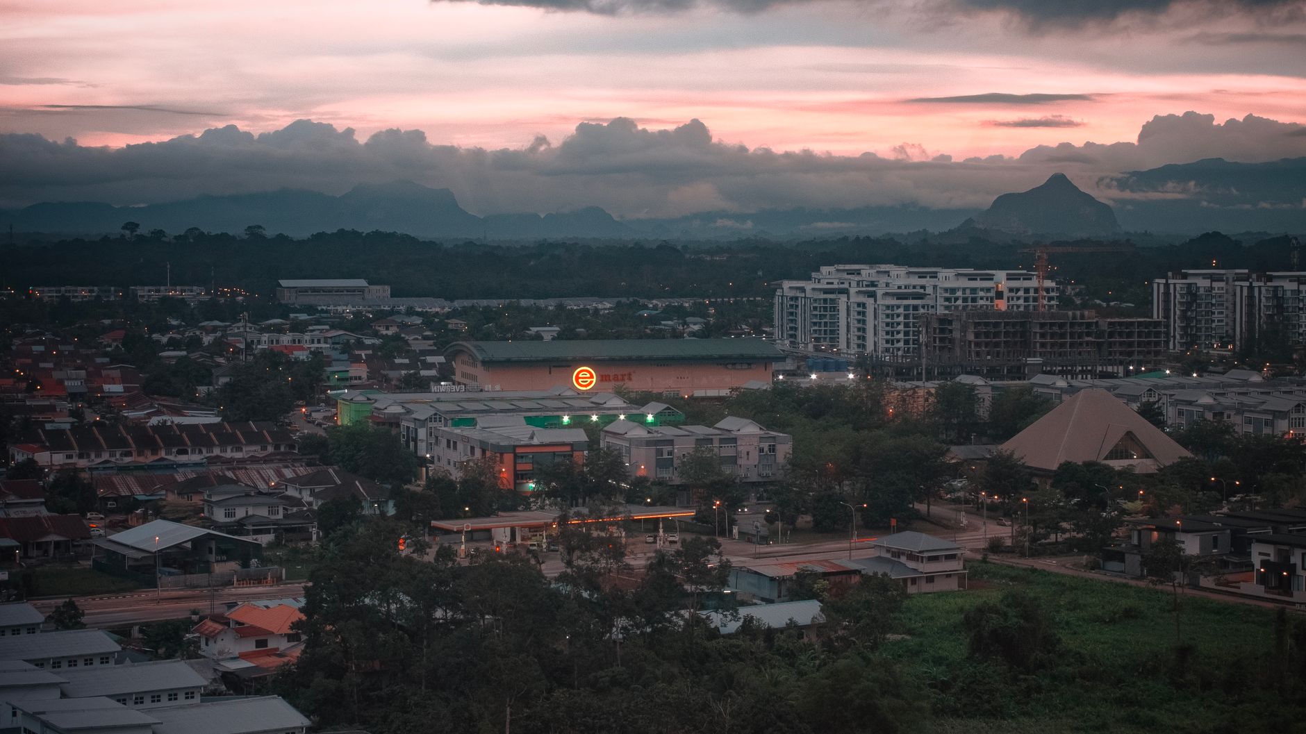
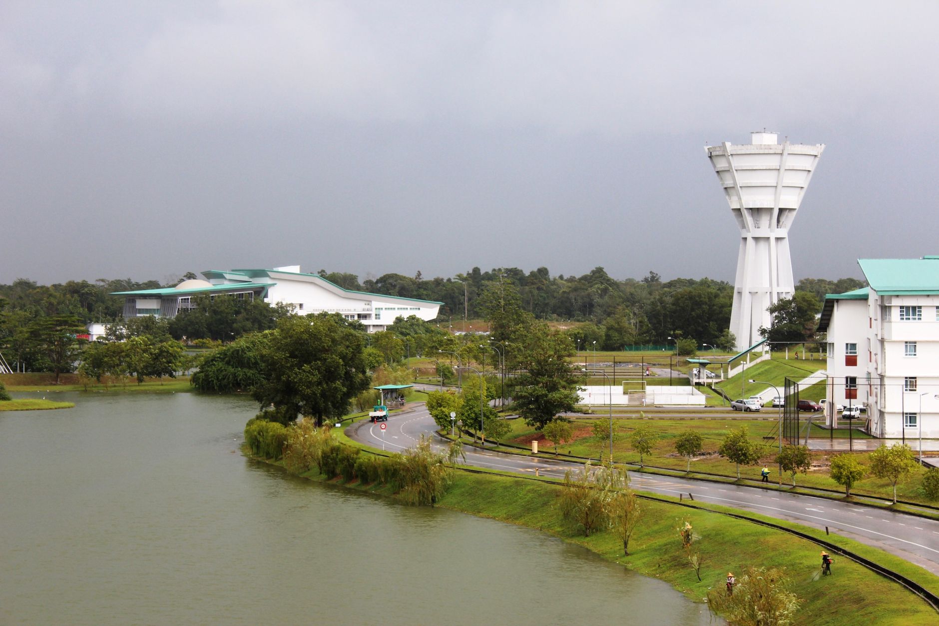
Sarawak takes up more than half of Malaysian Borneo and still manages to feel underexplored — not because it lacks things to see, but because its scale keeps resetting your expectations. The oldest human traces here go back 40,000 years to the Niah Caves; the rainforest at Gunung Mulu swallows 544 square kilometres without apology.
Most journeys start in Kuching, where the Sarawak River does the organising and the old Brooke-era buildings line the waterfront in various states of dignified repurposing. From there, the region fans out into longhouse country, cave systems, and forest that has been quietly doing its own thing since long before anyone thought to write it down.
How Sarawak came to be
The Brooke story is the one Sarawak is most often told through: James Brooke, a former British soldier, arrived in 1839 and was appointed Raja by the Sultan of Brunei in 1841, founding a kingdom that his family would govern for over a century. His nephew Charles Brooke built the Astana Palace in 1870 and Fort Margherita in 1879, and commissioned the Sarawak State Museum — still the oldest in Borneo. Alfred Russel Wallace spent time here in 1854 as Brooke's guest and wrote his 'Sarawak Law' paper, which anticipated key ideas about natural selection before Darwin published.
The dynasty ended when Charles Vyner Brooke ceded Sarawak to Britain in 1946, following Japanese occupation during the war. It became a Crown Colony, gained self-government in July 1963, and joined the Federation of Malaysia as a founding member that September.
Who and what shaped it
People who shaped it
Landmark buildings
See Sarawak in motion
Plan your visit
On the map
When to go
Sarawak is equatorial and wet year-round, with the heaviest rainfall between November and February. The drier months of May through September are generally more reliable for trekking and park visits, though a day without at least a brief downpour is never guaranteed.
Right now
Background & history adapted from Wikipedia (CC BY-SA) · specs from Wikidata (CC0) · weather from Open-Meteo · map data © OpenStreetMap contributors · photos from Wikimedia Commons / Unsplash with per-image credit. No third-party reviews or social posts reproduced.