
Sapa
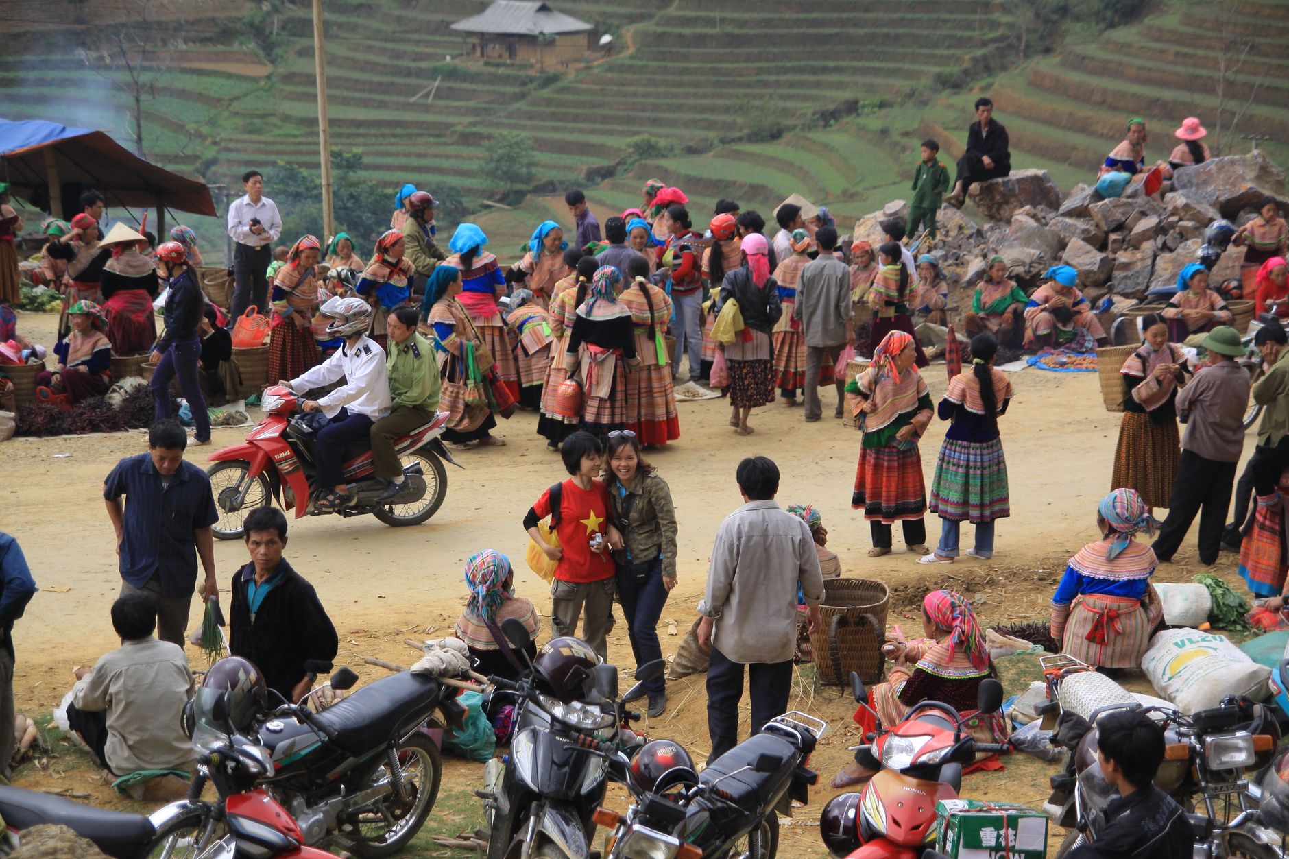
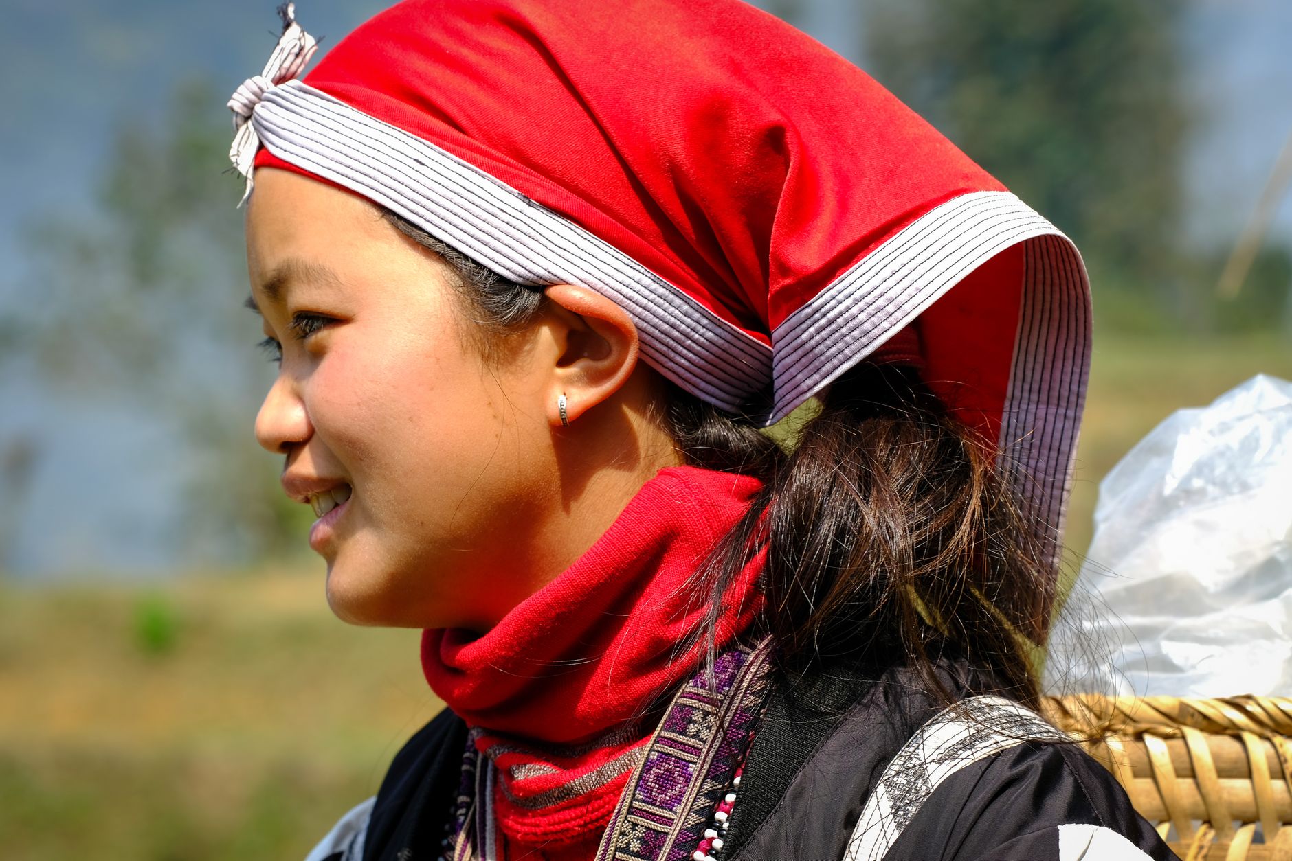
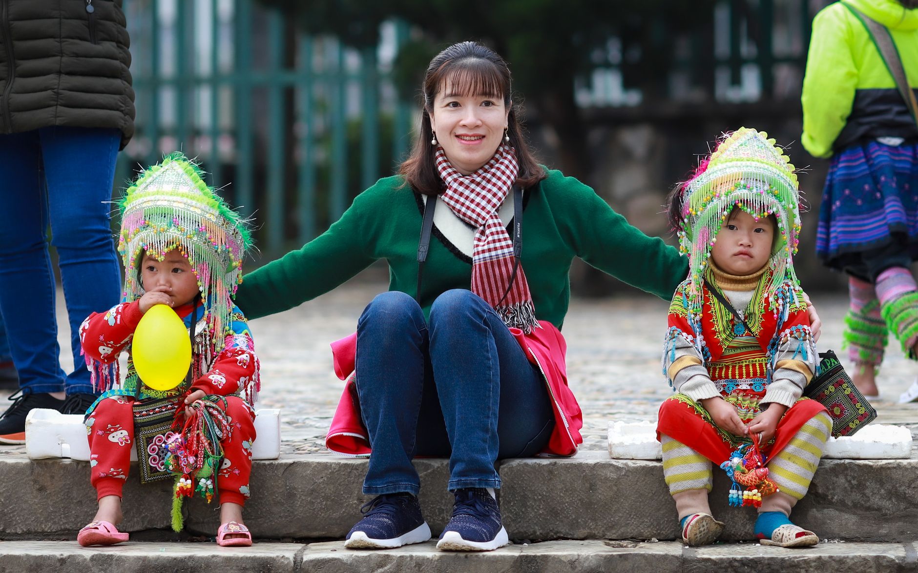
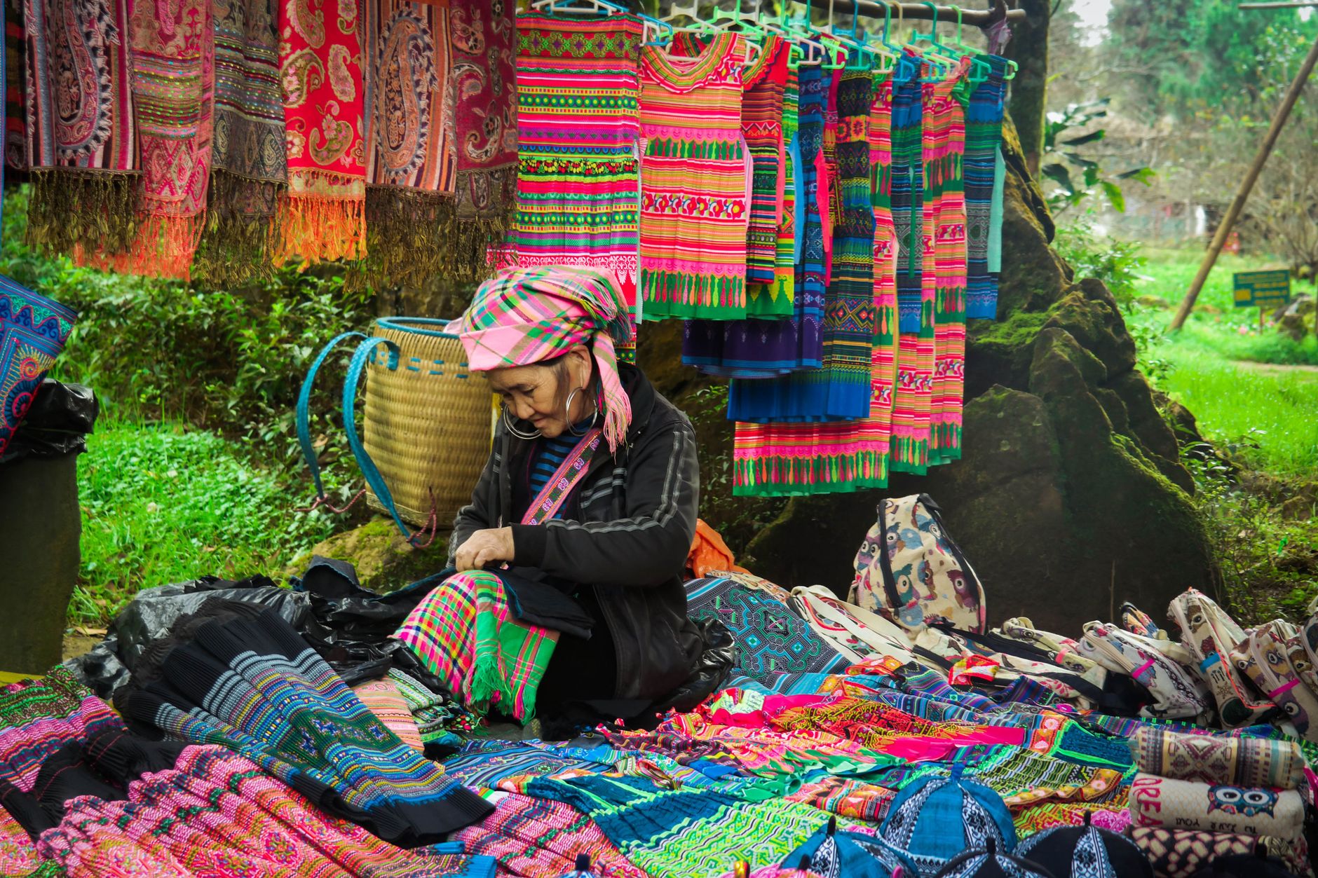
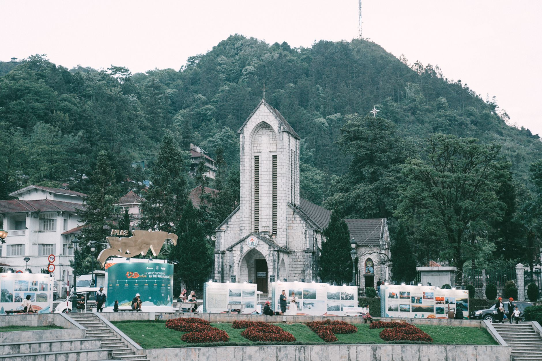

At nearly 1,500 metres above sea level, Sapa sits in the Hoàng Liên Son mountains of northwest Vietnam where the air is genuinely cool and the rice terraces step down the valley walls in long, patient rows. The Muong Hoa Valley stretches southeast of town, its 15-kilometre stream threading past villages of H'mong, Dao, Tày, and Giáy people — ethnic minorities who make up most of the region's population and whose presence gives Sapa its particular texture.
Above it all, Fansipan rises to 3,147 metres — the highest point in Vietnam and in Indochina. The mountain frames every view from town and draws trekkers, cable-car riders, and anyone who simply wants to stand somewhere very high and look down at the clouds.
How Sapa came to be
French military surveyors first noted the site in 1901, and two years later a garrison arrived, naming its camp after a local market already known as Sapa. The completion of the Hanoi–Lao Cai railway in 1906 brought the first outside visitors, and by 1909 the Cha Pa Hotel was open. Authorities soon began building branches of colonial government offices here, intending Cha Pa to serve as a summer capital where administrators could escape the lowland heat.
The colonial idyll ended violently. The French re-occupied the town in March 1947 but abandoned it entirely by October 1949 as Viet Minh forces advanced through the north. In March 1952, the French air force bombed what they had built — the Governor's summer residence, the sanatorium, most of the villas. Sapa reopened to international tourism in 1993, and reconstruction came quickly: from 40 hotel rooms in 1990 to roughly 1,500 by 2003.
Who and what shaped it
Landmark buildings
See Sapa in motion
Plan your visit
On the map
When to go
Sapa's mountain elevation keeps temperatures cool year-round, dipping close to freezing in winter (December–February) and occasionally producing snow or frost on the peaks. Summer months bring mist and monsoon rain that can obscure Fansipan for days at a stretch, but also fill the terraces with the deepest green.
Right now
Background & history adapted from Wikipedia (CC BY-SA) · specs from Wikidata (CC0) · weather from Open-Meteo · map data © OpenStreetMap contributors · photos from Wikimedia Commons / Unsplash with per-image credit. No third-party reviews or social posts reproduced.