
Santiago de los Caballeros

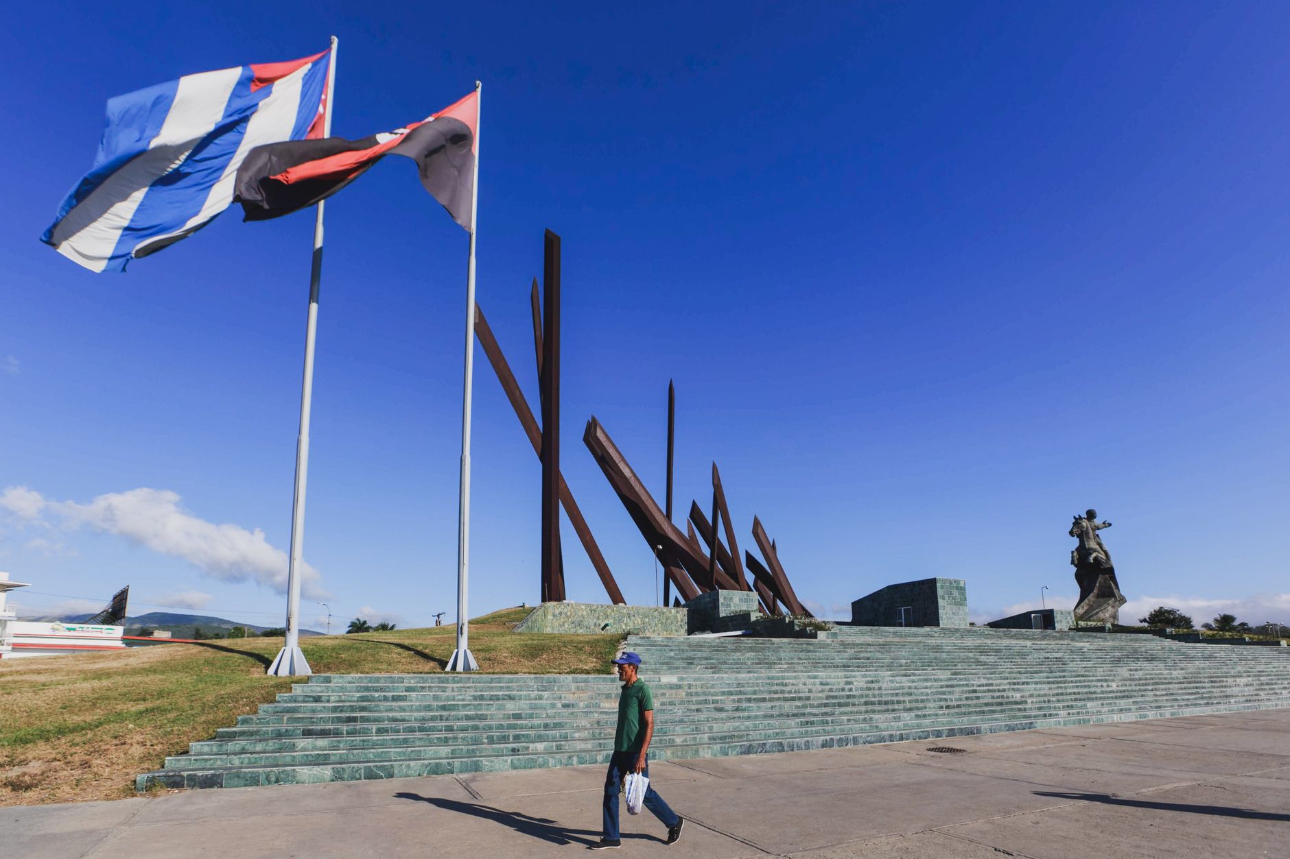
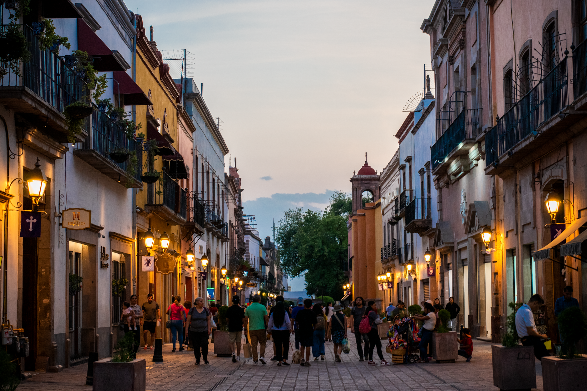
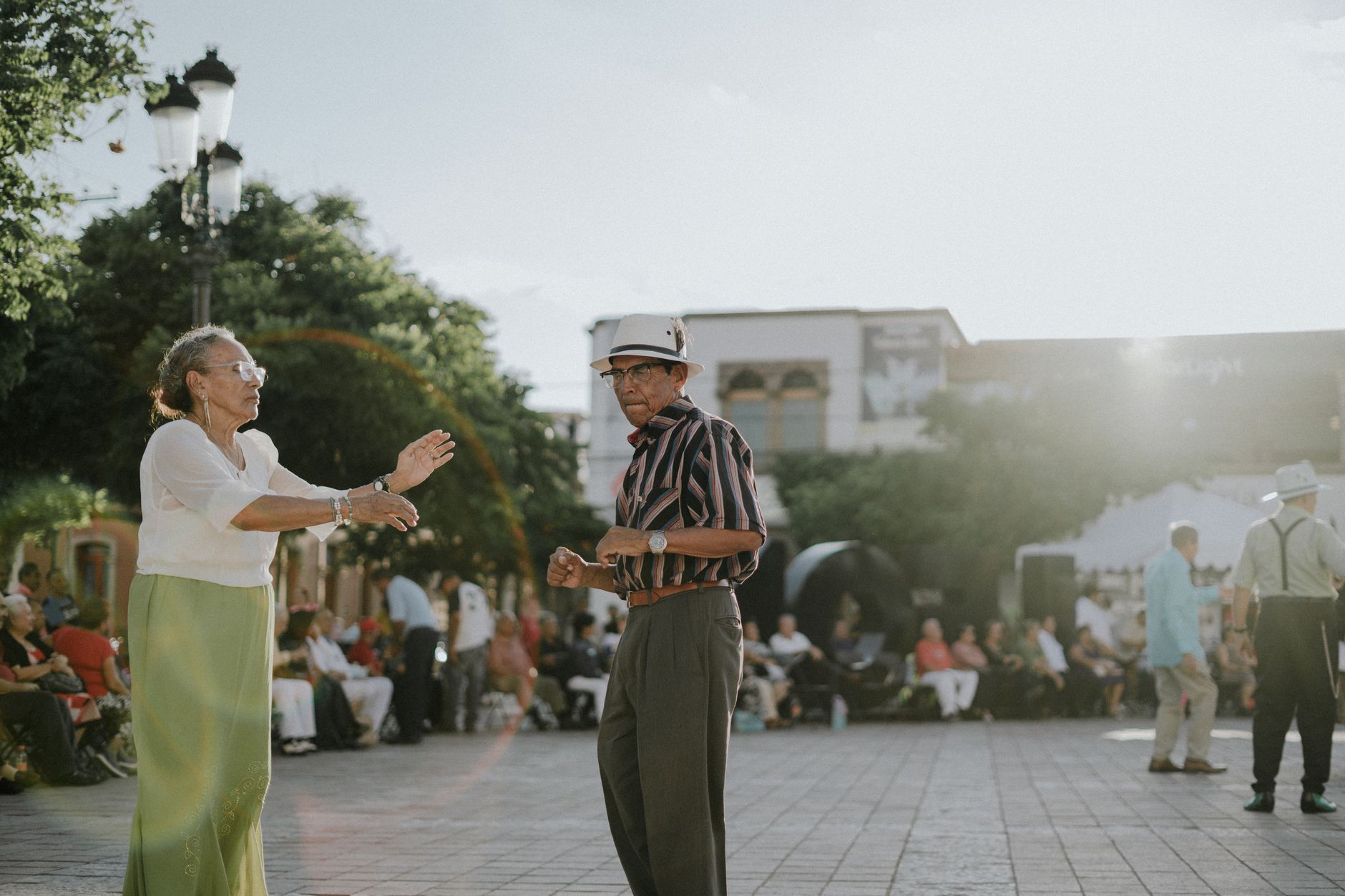

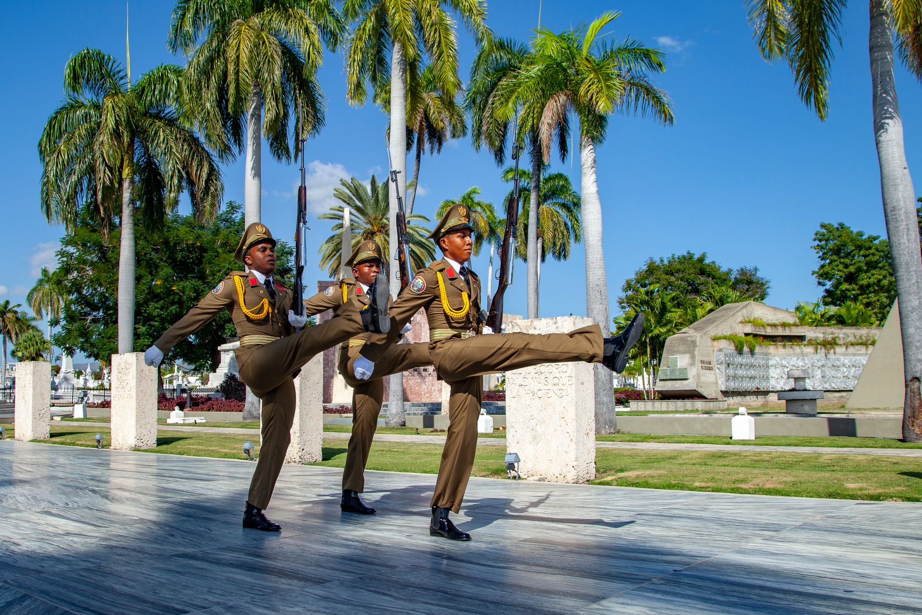
Santiago de los Caballeros is the Dominican Republic's second city, and it carries that status without apology. The Yaque del Norte river runs along its edge, the Cibao valley opens out beyond it, and at the city's high point stands a 70-metre marble-clad tower that was renamed, decades after its construction, to honour the people who fought for the country's sovereignty. That tower tells you something about how Santiago holds its own history.
This is a city of tobacco, rum, and a cultural scene that punches hard — the Centro León alone holds 40 collections spanning archaeology, folklore, and visual art. The 2024 cable car now stitches neighbourhoods together, and the muralled facades of Los Pepines give you a reason to walk slowly.
How Santiago de los Caballeros came to be
The city traces its origins to 1495, when a group of Spanish knights — the Hidalgos de la Isabela — established a settlement that would take their patron saint's name: Santiago de los Caballeros, Saint James of the Knights. It was an itinerant beginning: the colony moved to the Jacagua River in 1506, then shifted again after an earthquake levelled almost everything in 1562, resettling beside the Yaque del Norte.
The 19th century defined the city's political weight. The Battle of Santiago in 1844 was a turning point in the Dominican Republic's independence, and during the War of Restoration between 1863 and 1865, Santiago briefly served as the country's capital. The Cathedral of Santiago el Mayor, rebuilt between 1868 and 1894 after an earlier earthquake, still stands opposite Parque Duarte as a marker of that era.
Who and what shaped it
People who shaped it
Landmark buildings
See Santiago de los Caballeros in motion
Plan your visit
On the map
When to go
Santiago has a tropical monsoon climate — warm year-round, with a wetter season running roughly from May through October. The drier months between November and April tend to be the more comfortable time to walk the city at length.
Right now
Background & history adapted from Wikipedia (CC BY-SA) · specs from Wikidata (CC0) · weather from Open-Meteo · map data © OpenStreetMap contributors · photos from Wikimedia Commons / Unsplash with per-image credit. No third-party reviews or social posts reproduced.