
San Juan del Sur
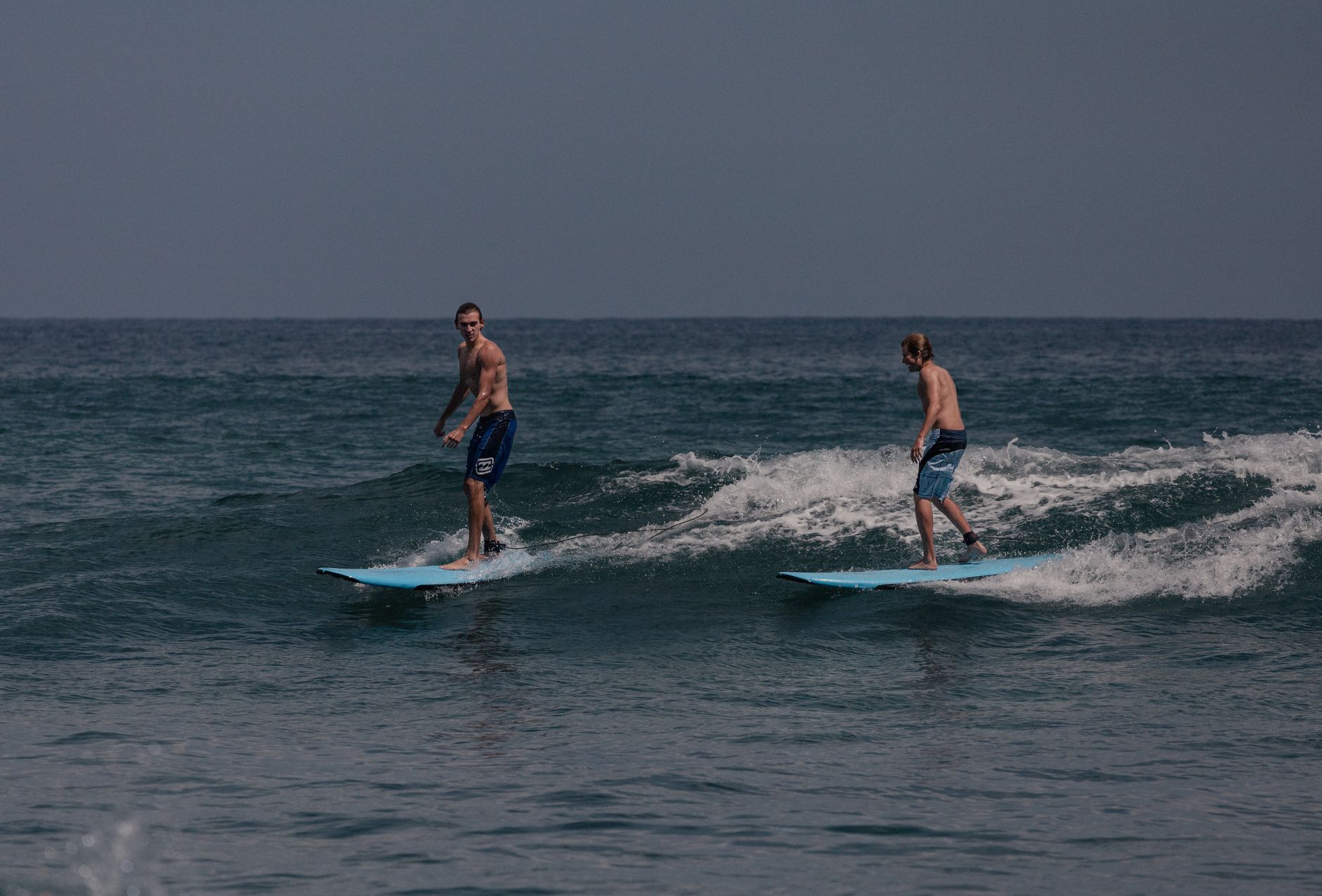

San Juan del Sur curves around a crescent bay on Nicaragua's Pacific coast, the kind of bay where fishing boats and surf shuttles share the same stretch of sand without much fuss. The town is small enough to walk end to end before breakfast, yet the headlands on either side open onto a chain of beaches — some calm, some serious for surfing — that keep people here longer than planned.
At the northern point, the Cristo de la Misericordia stands with arms outstretched over the water, visible from almost everywhere in town. Below it, clapboard buildings from the Gold Rush era still line a few quiet streets, a reminder that this bay once marked a turning point in a journey from New York to San Francisco.
💛 What travellers fall for
People who come back tend to sort out the water taxi early — Rana Tours runs one to Maderas beach daily at 11am from the kiosk in front of Hotel Estrella, returning at 5pm. They also learn that turtle season at La Flor Wildlife Refuge runs July through January, and that the nocturnal nesting walks are worth planning around.
How San Juan del Sur came to be
Spanish explorer Andrés Niño reached this bay in 1523, though the settlement that grew around it found its real purpose three centuries later. In 1851, San Juan del Sur was declared a terminal port and elevated to city rank, becoming the Pacific embarkation point for Cornelius Vanderbilt's Accessory Transit Company. During the California Gold Rush, Vanderbilt's steamships carried passengers across the Atlantic, up the San Juan River, overland through Nicaragua, and onto ships here bound for San Francisco — 75,079 travelers over sixteen years, at fares starting at $300. Mark Twain passed through in 1866; William Walker, the American filibuster, arrived here defeated two years earlier in 1854.
After the transcontinental railroad made the Nicaragua route obsolete in 1869, the town shifted to exporting timber, cattle, and agricultural goods, a role it held until the late 1990s. Since then, tourism and foreign real estate investment have become the dominant forces, though the Victorian-era clapboard buildings that went up during the transit years still stand on some of the calmer streets.
Who and what shaped it
People who shaped it
Landmark buildings
See San Juan del Sur in motion
Plan your visit
On the map
When to go
Temperatures hold steady around 30°C year-round, dipping only slightly in January and peaking in April — the difference is minor. The wet season runs roughly May through October, when afternoon downpours are common but rarely last long; the dry months from November through April are the most straightforward time to visit.
Right now
Background & history adapted from Wikipedia (CC BY-SA) · specs from Wikidata (CC0) · weather from Open-Meteo · map data © OpenStreetMap contributors · photos from Wikimedia Commons / Unsplash with per-image credit. No third-party reviews or social posts reproduced.