
San Ignacio
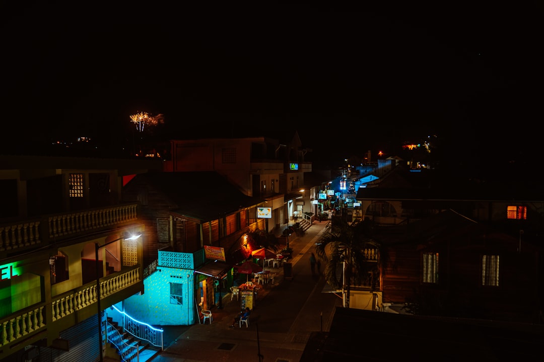
San Ignacio sits on the Macal River about 63 miles west of Belize City, and the town announces itself modestly: a suspension bridge wide enough for one car, a market square under corrugated canopies, a main street of two-storey buildings where the ground floors have given way to cafes and outfitters. What the town lacks in grandeur it compensates for in position. The jungle presses close on every side, and the surrounding Cayo District holds caves, ruins, and river systems that take weeks to exhaust.
Most people arrive here to leave — on day trips to Maya sites, into cave systems, toward the Guatemalan border. But San Ignacio earns its own attention: Cahal Pech, one of the oldest known Maya sites in the area, sits on a hill at the edge of town with thirty-four structures and views over the canopy below.
💛 What travellers fall for
Regulars tend to stay a day longer than planned. The rhythm of Burns Avenue — slow mornings, cold Belikins, conversations with guides who grew up here — has a way of rearranging itineraries. Ask locally about Jaime Awe's published work on ATM Cave before you go; it changes how you move through the site.
How San Ignacio came to be
The Spanish called it El Cayo. The British came for mahogany and chicle, and a rough extraction camp grew along the river. The settlement's current name arrived in 1870, when a Roman Catholic priest, Father Andrew Bavastro, established a small chapel and brought a statue of San Ignacio de Loyola from the nearby Petén. By 1881, the Cayo District was formally established and the town named its capital.
For most of the twentieth century, San Ignacio remained a quiet administrative and trading town. The turn came in 1949, when the Hawksworth Bridge — still the only drivable suspension bridge in Belize — crossed the Macal River and opened the town to commerce. By the 1990s, the economy had pivoted again: hotels opened, tour operators set up on Burns Avenue, and San Ignacio became the functional base for western Belize's adventure circuit.
Who and what shaped it
People who shaped it
Landmark buildings
See San Ignacio in motion
Plan your visit
On the map
When to go
Temperatures run warm year-round — around 32°C (90°F) on a typical day, peaking toward 35°C in April and May. The cooler, drier months from November through February are the most comfortable for moving around, while the wet season (roughly June through October) brings afternoon rains that clear quickly and leave the jungle a deeper green.
Right now
Background & history adapted from Wikipedia (CC BY-SA) · specs from Wikidata (CC0) · weather from Open-Meteo · map data © OpenStreetMap contributors · photos from Wikimedia Commons / Unsplash with per-image credit. No third-party reviews or social posts reproduced.