
San Francisco Bay Area
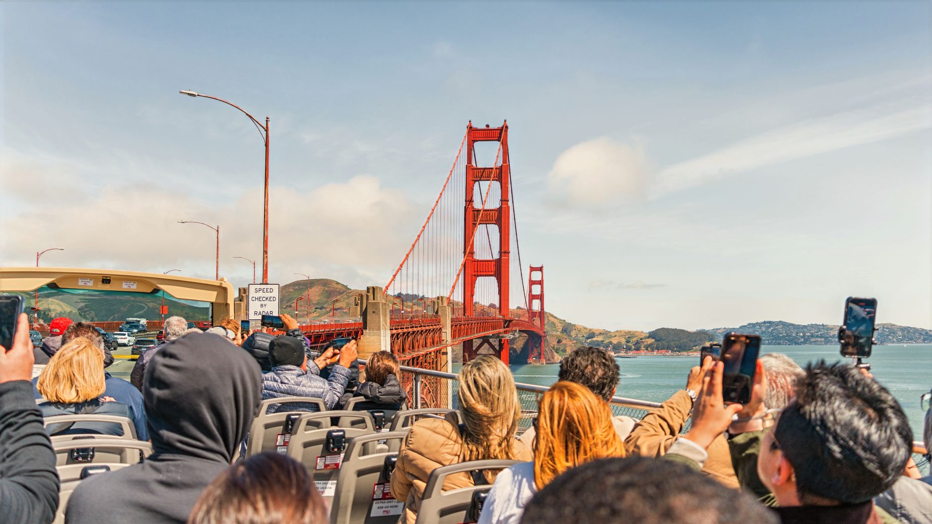
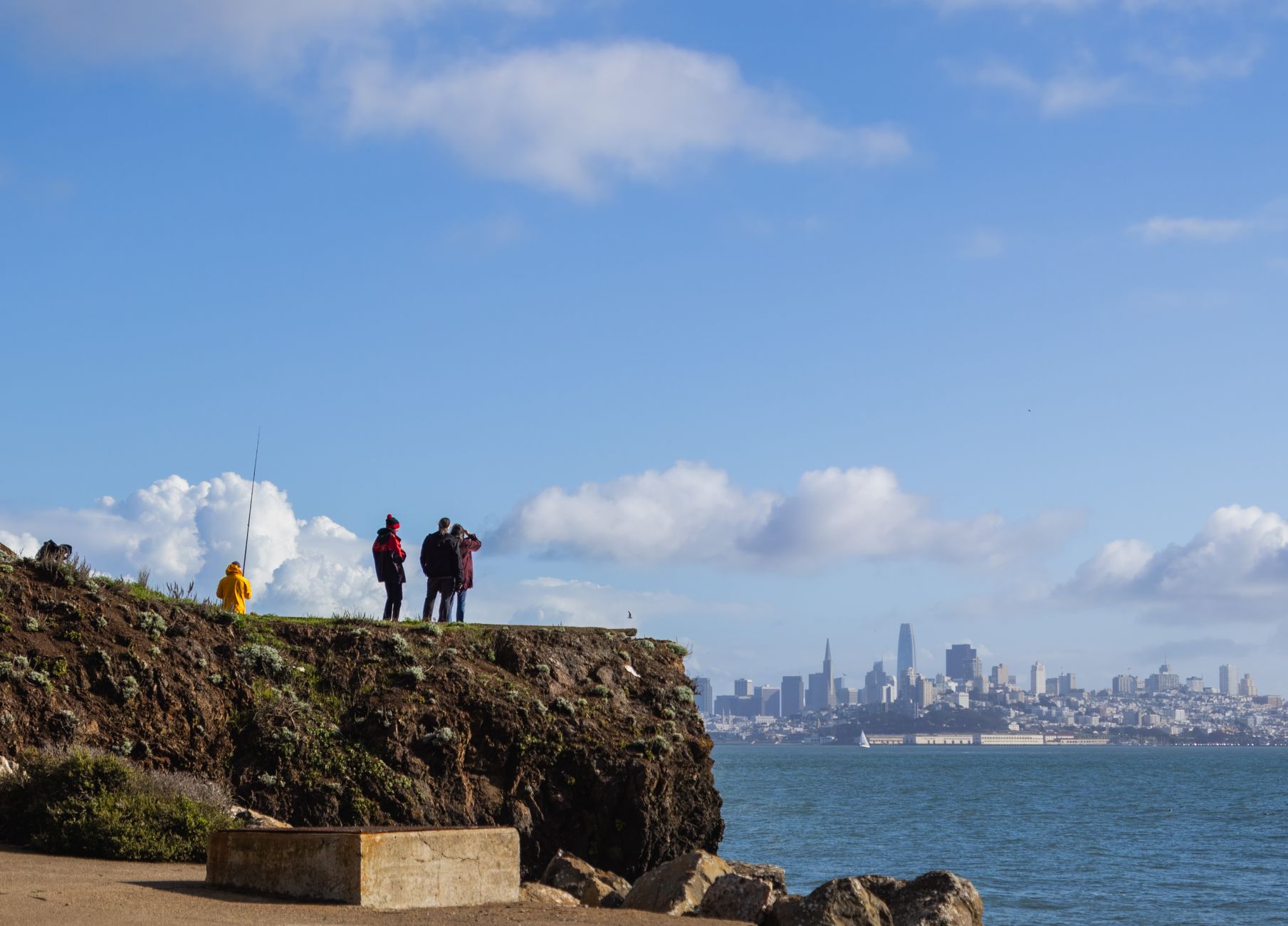
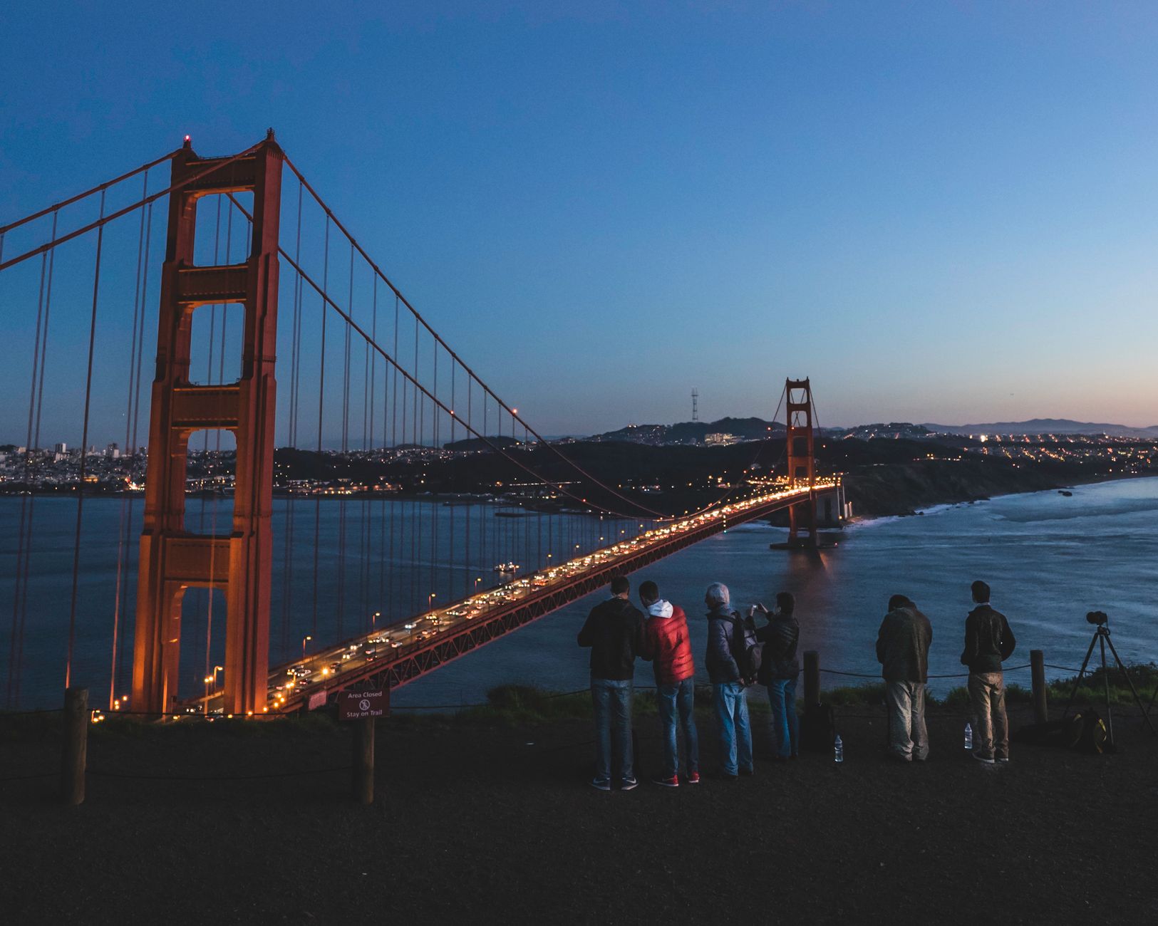
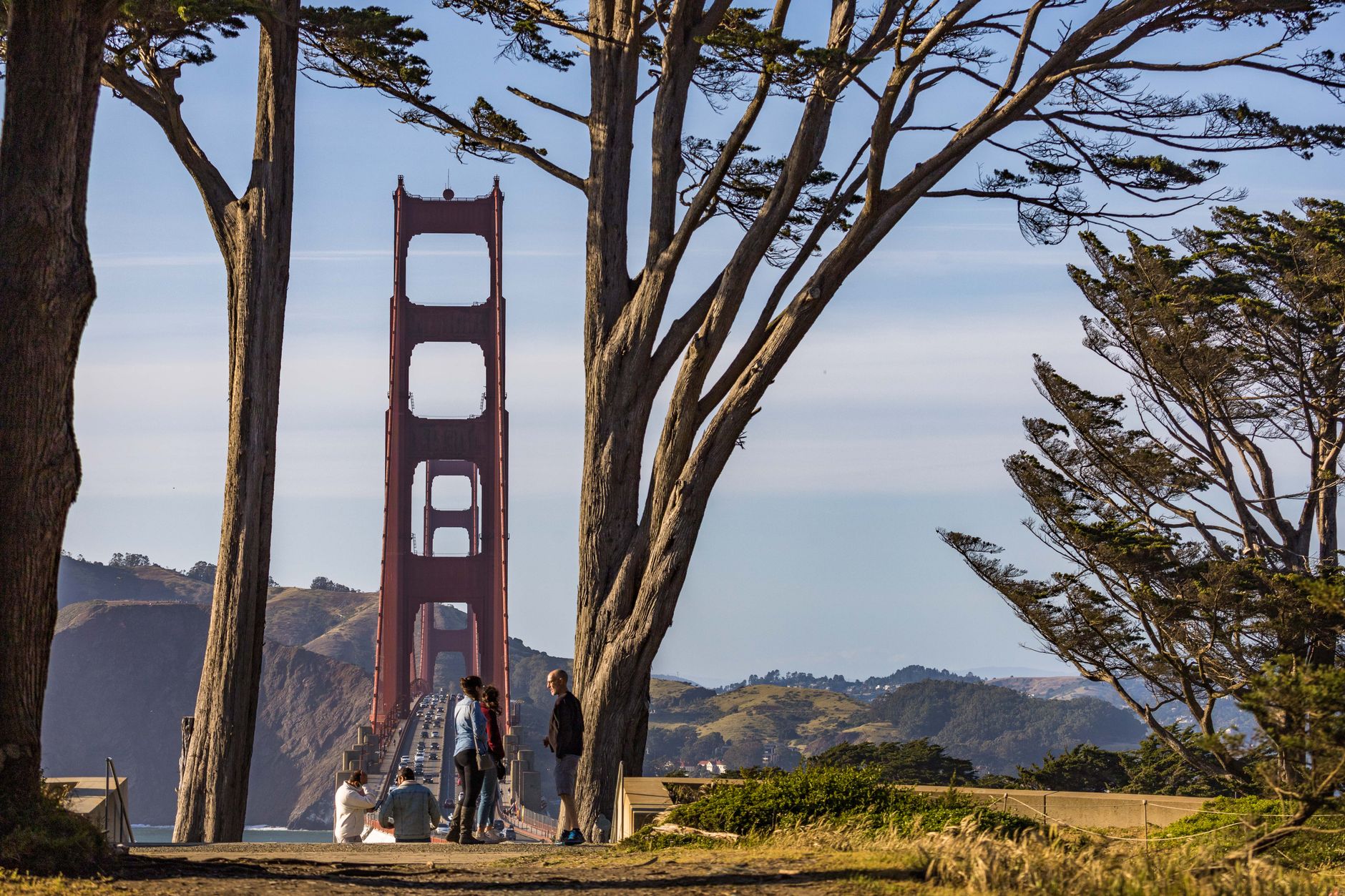
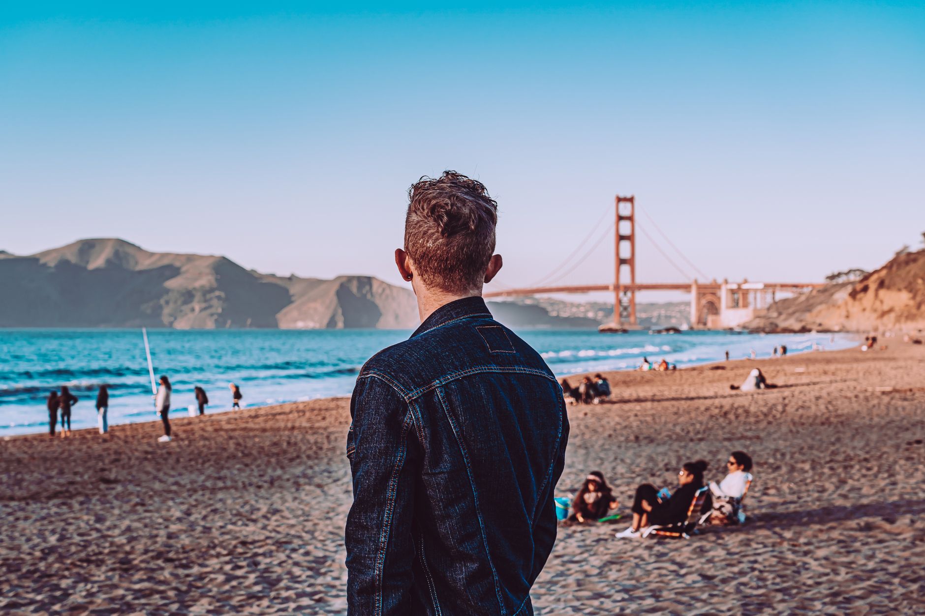
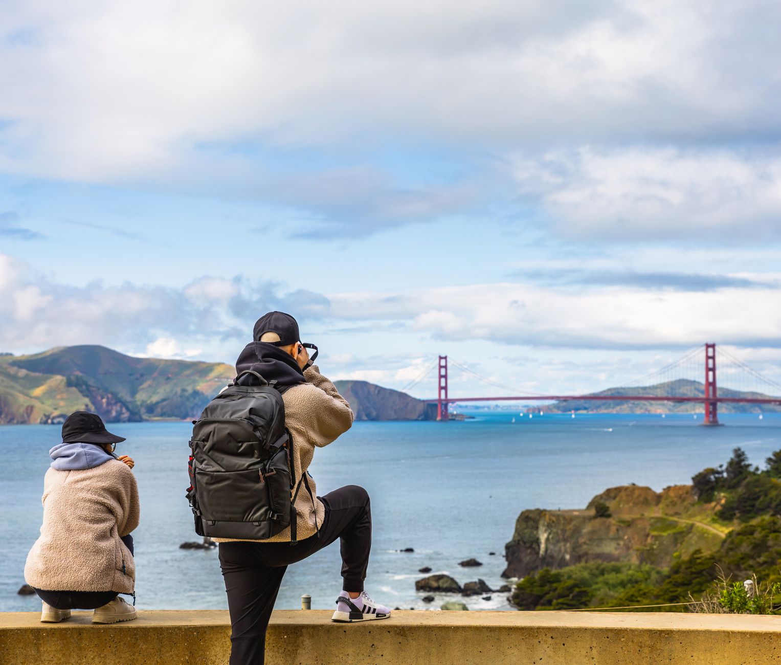
The Bay is the fact that organizes everything else. Nine counties wrap around fifty miles of estuary, and on any given morning you can watch container ships pass under the Golden Gate while sea lions bark from the docks and fog erases the hilltops one by one. San Francisco is the obvious anchor, but the region keeps pulling outward — to the redwood canyons of Marin, the tech campuses of the Peninsula, the wine-country back roads of Sonoma and Napa, the flat salt marshes of the East Bay.
What unites it is geology and weather more than politics. The Bay itself was carved by ancient rivers; the hills fold and fault in ways that keep seismologists and architects in permanent conversation. Come for one city and you'll find yourself crossing bridges, changing microclimates, and losing track of where one place ends and another begins.
💛 What travellers fall for
People who keep coming back tend to stop treating it like a single destination. They'll base in Oakland for a week, take BART into the city once or twice, drive the Richmond–San Rafael Bridge on a clear afternoon just for the view, and eat better for less than they would in San Francisco proper. The region rewards lateral thinking.
How San Francisco Bay Area came to be
The first documented European to see the Bay was Gaspar de Portolá, whose 1769 overland expedition stumbled onto it by accident. Spanish ships didn't sail inside until 1775, when Juan Manuel de Ayala charted the waters. The following year, Juan Bautista de Anza led settlers north from Mexico; by June 1776, a presidio stood at the strait and a mission — Mission Dolores — had been founded a few miles inland. The small settlement was called Yerba Buena until 1847, when alcalde Washington Bartlett renamed it San Francisco.
What changed everything was gold. In 1848 the population was under a thousand; by 1855 it had crossed fifty thousand. The city built fast, burned several times, rebuilt again, and was largely leveled by the 1906 earthquake and fire before rebuilding once more. The 1989 Loma Prieta earthquake damaged whole neighborhoods and brought down elevated freeways — some of which were never replaced, returning the waterfront to pedestrians.
Who and what shaped it
People who shaped it
Landmark buildings
See San Francisco Bay Area in motion
Plan your visit
On the map
When to go
Summer is counterintuitive: fog rolls in most afternoons, especially in San Francisco itself, and temperatures rarely climb above the mid-60s Fahrenheit. September and October are reliably the warmest, sunniest months across the region. Winter brings rain but also clear, cold days with exceptional visibility across the Bay.
Right now
Background & history adapted from Wikipedia (CC BY-SA) · specs from Wikidata (CC0) · weather from Open-Meteo · map data © OpenStreetMap contributors · photos from Wikimedia Commons / Unsplash with per-image credit. No third-party reviews or social posts reproduced.