
San Fernando
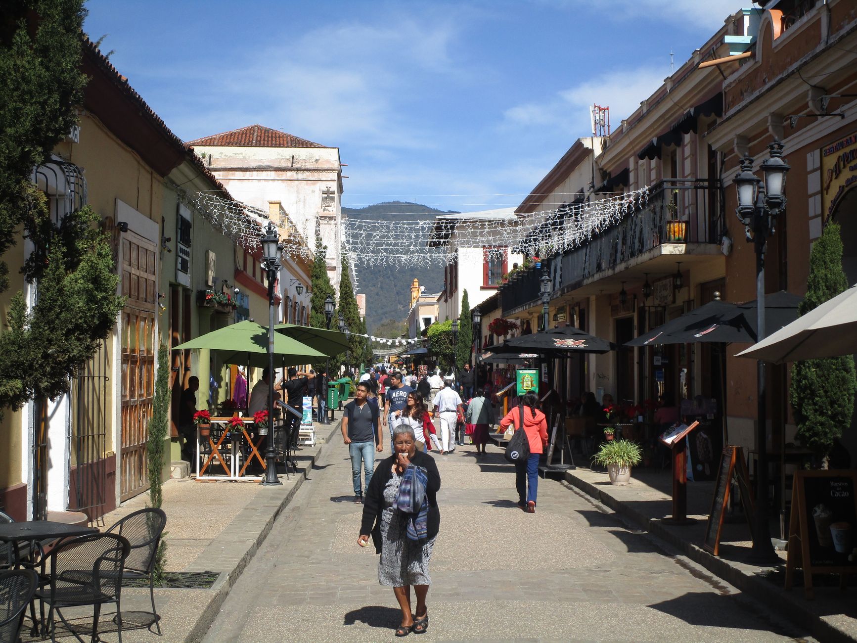
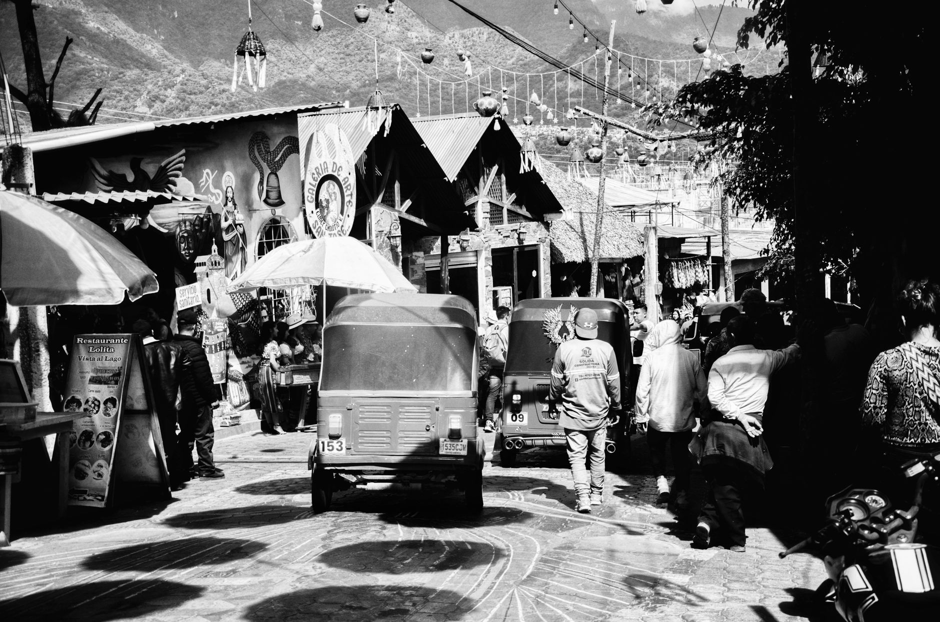
Trinidad's second city announces itself through commerce and elevation. High Street hums with trade from early morning, while San Fernando Hill — once an Amerindian lookout — rises above the rooftops and offers a rare, unobstructed read of the southern landscape. This is not a city that performs for visitors. It works, it moves, and it has been doing so since a Spanish land grant shaped its first streets in 1786.
The waterfront, where King's Wharf once received the bulk of the south's goods, is mid-transformation. Harris Promenade anchors the civic centre, its colonial-era buildings — City Hall, the library, a Gandhi statue shipped from India in 1952 — arranged around a shaded walkway that rewards a slow circuit.
How San Fernando came to be
The land here was granted in 1786 by Spanish Governor Chacon as an administrative centre, and the settlement was named for Fernando, son of Spain's King Charles IV — the future Ferdinand VII. Fire levelled much of it in 1818, and the city rebuilt methodically, reaching its present boundaries by 1846 and earning borough status in 1853.
The first passenger train arrived on 12 April 1882, pulling into a Victorian cast-iron station on the waterfront — a moment that tied San Fernando firmly into the island's economic spine. The neo-classical City Hall on Harris Promenade followed in 1931, replacing a wooden structure that had stood since 1834. San Fernando became a city on 18 November 1988. Among those it produced: Hasley Crawford, who in 1976 became Trinidad and Tobago's first Olympic gold medallist, and Noor Hassanali, who served as the country's President from 1987 to 1997.
Who and what shaped it
People who shaped it
Landmark buildings
See San Fernando in motion
Plan your visit
On the map
When to go
San Fernando runs warm year-round — expect temperatures between 72°F and 89°F in most conditions. February through April brings the driest, slightly more manageable weather; the wet season can feel heavy and overcast, though rain rarely lasts all day.
Right now
Background & history adapted from Wikipedia (CC BY-SA) · specs from Wikidata (CC0) · weather from Open-Meteo · map data © OpenStreetMap contributors · photos from Wikimedia Commons / Unsplash with per-image credit. No third-party reviews or social posts reproduced.