
San Blas Islands (Guna Yala)


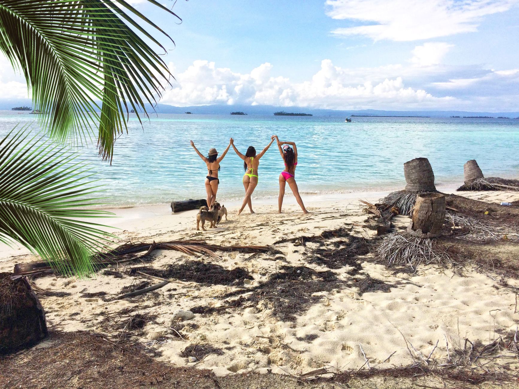
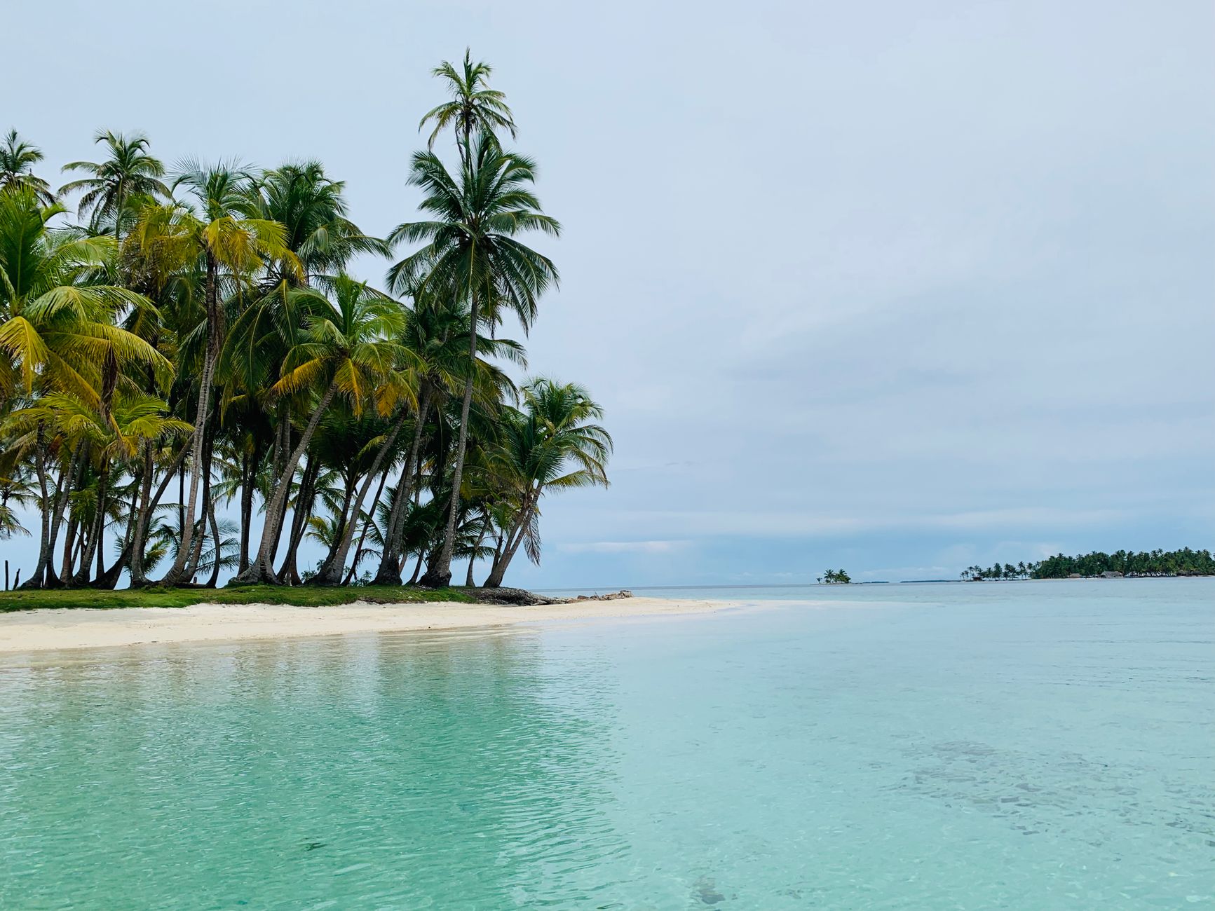
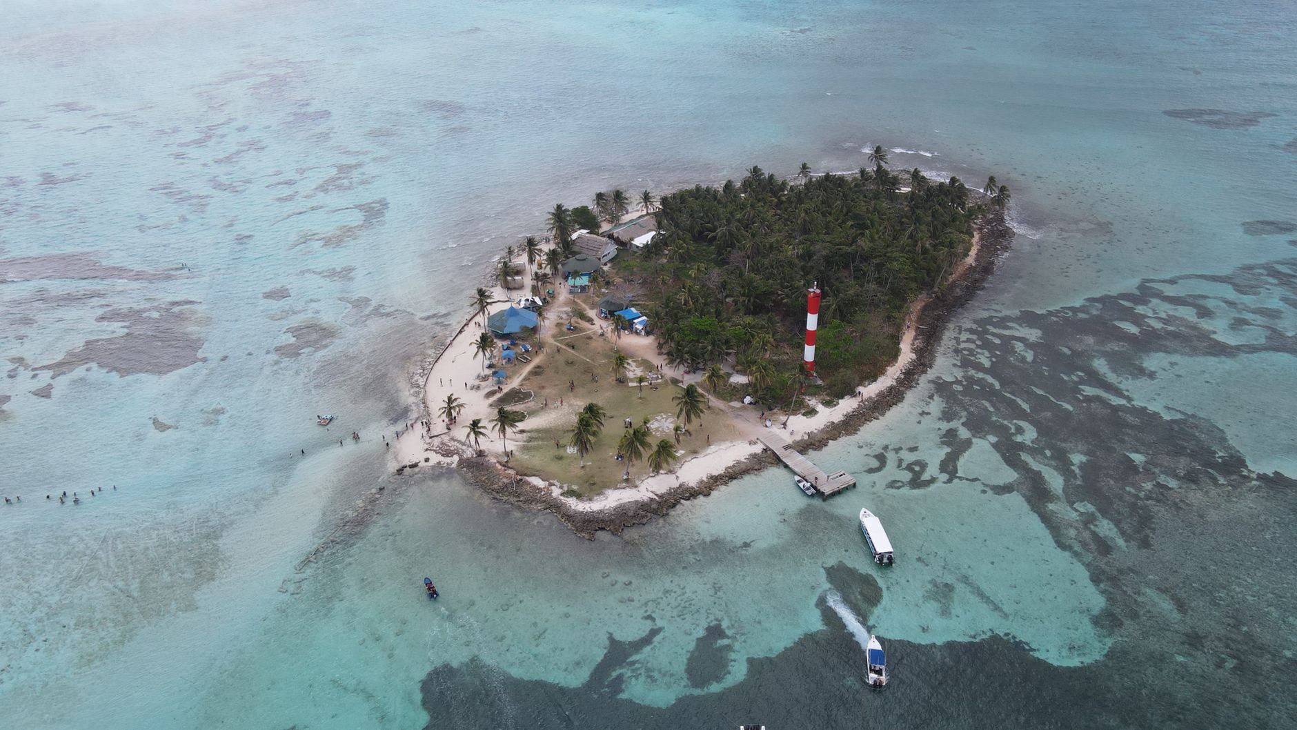
Somewhere around 365 of the roughly 400 San Blas islands are uninhabited, and the ones that are lived on are crowded in a way that surprises most first-time visitors — thatched homes packed close together, a school by the dock, a Mormon church, boats the only thing moving between settlements. This is Guna Yala, an autonomous comarca where the Guna people have governed themselves, their land, and their sea for generations.
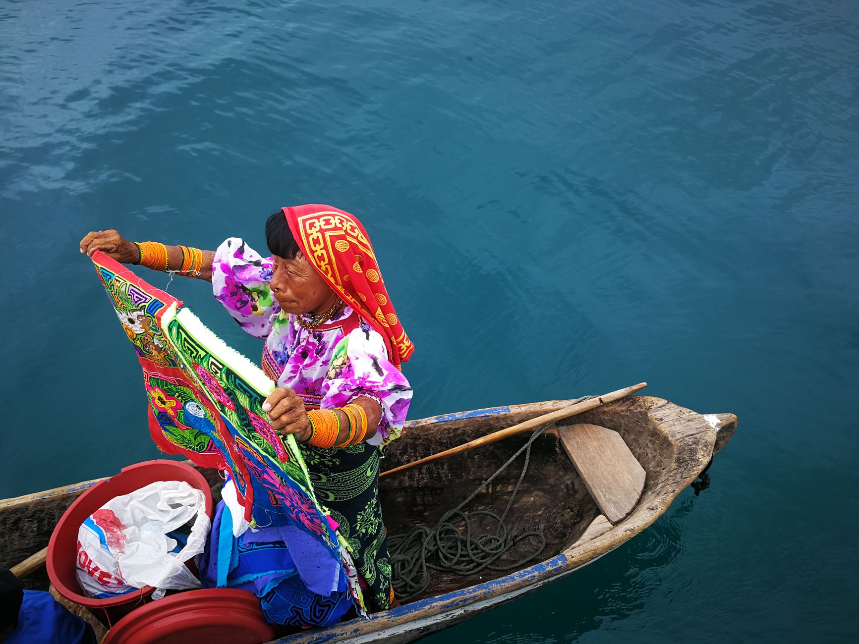
Women here still wear molas in daily life — layered, intricately reverse-appliquéd textiles depicting animals and geometric forms — not for tourists but because that's how they dress. The Caribbean water runs clear over shallow reef, the trade winds blow hard in the dry months, and any tour company operating here is required to have Guna ownership or involvement.
💛 What travellers fall for
People who've been more than once tend to say the same thing: skip the islands closest to the Cartí road landing and push further out toward the Cayos Holandeses if your itinerary allows. The extra lancha time buys you noticeably fewer day-trippers and water that shifts from green to a deeper, cleaner blue.
How San Blas Islands (Guna Yala) came to be
The Guna didn't always live on these islands. Through the 1600s and 1700s they occupied coastal Colombia near the Gulf of Urabá; Spanish pressure pushed them toward the Darién, and by the mid-1800s they had begun moving onto the small islands near freshwater river mouths off Panama's Caribbean coast. Relations with the Panamanian state deteriorated sharply in the early twentieth century as authorities tried to suppress Guna dress, language, and ceremony.
On February 25, 1925, leaders Nele Kantule and Ologintipipilele — also known as Simral Colman — led an armed uprising and briefly declared an independent Republic of Tule. The flag for that uprising was designed by Waga Ebinkili (Mary Colman), Simral Colman's granddaughter. Panama eventually negotiated rather than crushed the rebellion, and formal autonomy followed: the San Blas District was established by legislation in 1938 and consolidated by Act No. 16 of 1953. In 1998 the Guna Organic Charter expanded those rights further, and in October 2011 the comarca was officially renamed Guna Yala. Today Carti Sugtupu, one of the most densely settled islands, is being relocated — the first Panamanian community formally displaced by rising sea levels.
Who and what shaped it
People who shaped it
Landmark buildings
See San Blas Islands (Guna Yala) in motion
Plan your visit
On the map
When to go
The dry season runs roughly December to March, bringing strong trade winds, full sun, and the clearest water — also the busiest time. The long wet season stretches May through January, but most rain falls at night and clears quickly; travelling in the shoulder months often means fewer boats and perfectly swimmable days.
Right now
Background & history adapted from Wikipedia (CC BY-SA) · specs from Wikidata (CC0) · weather from Open-Meteo · map data © OpenStreetMap contributors · photos from Wikimedia Commons / Unsplash with per-image credit. No third-party reviews or social posts reproduced.