
Salar de Uyuni
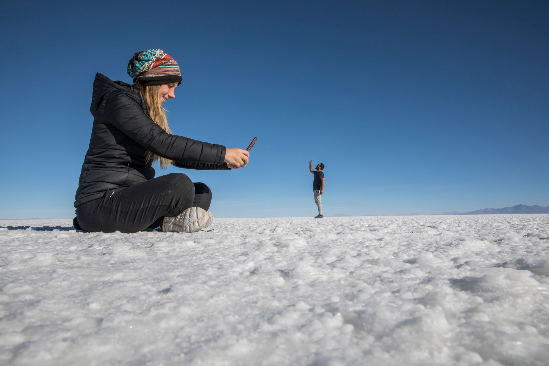
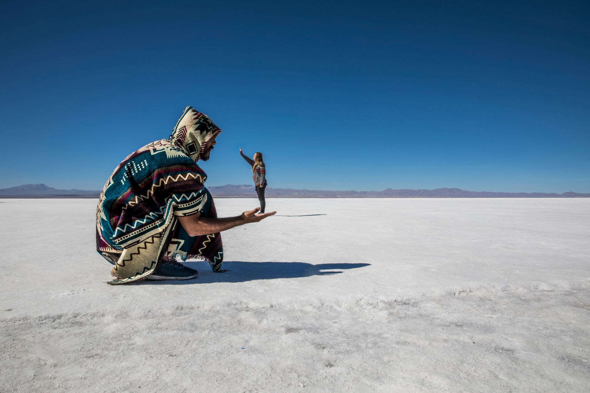
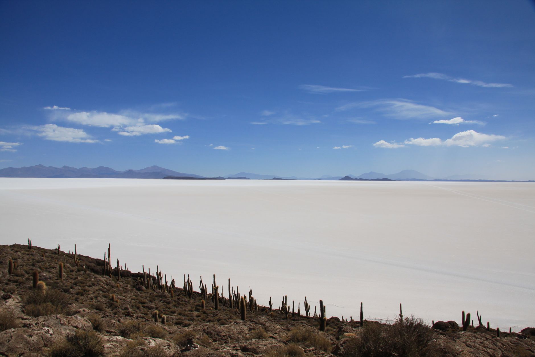
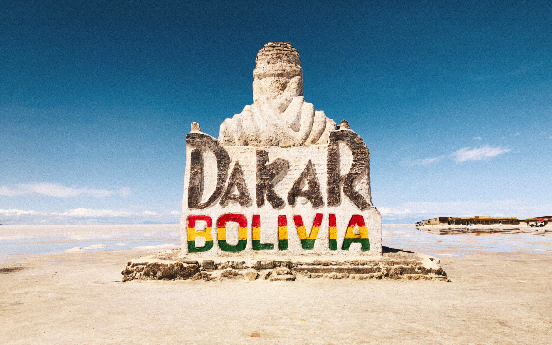
At 3,656 metres above sea level, the Salar de Uyuni is the largest salt flat on earth — roughly 10,000 square kilometres of white crust so geometrically flat that GPS satellites use it for calibration. You arrive and the horizon simply stops making sense. Distance loses its grip. A figure a kilometre away looks like they're standing beside you.
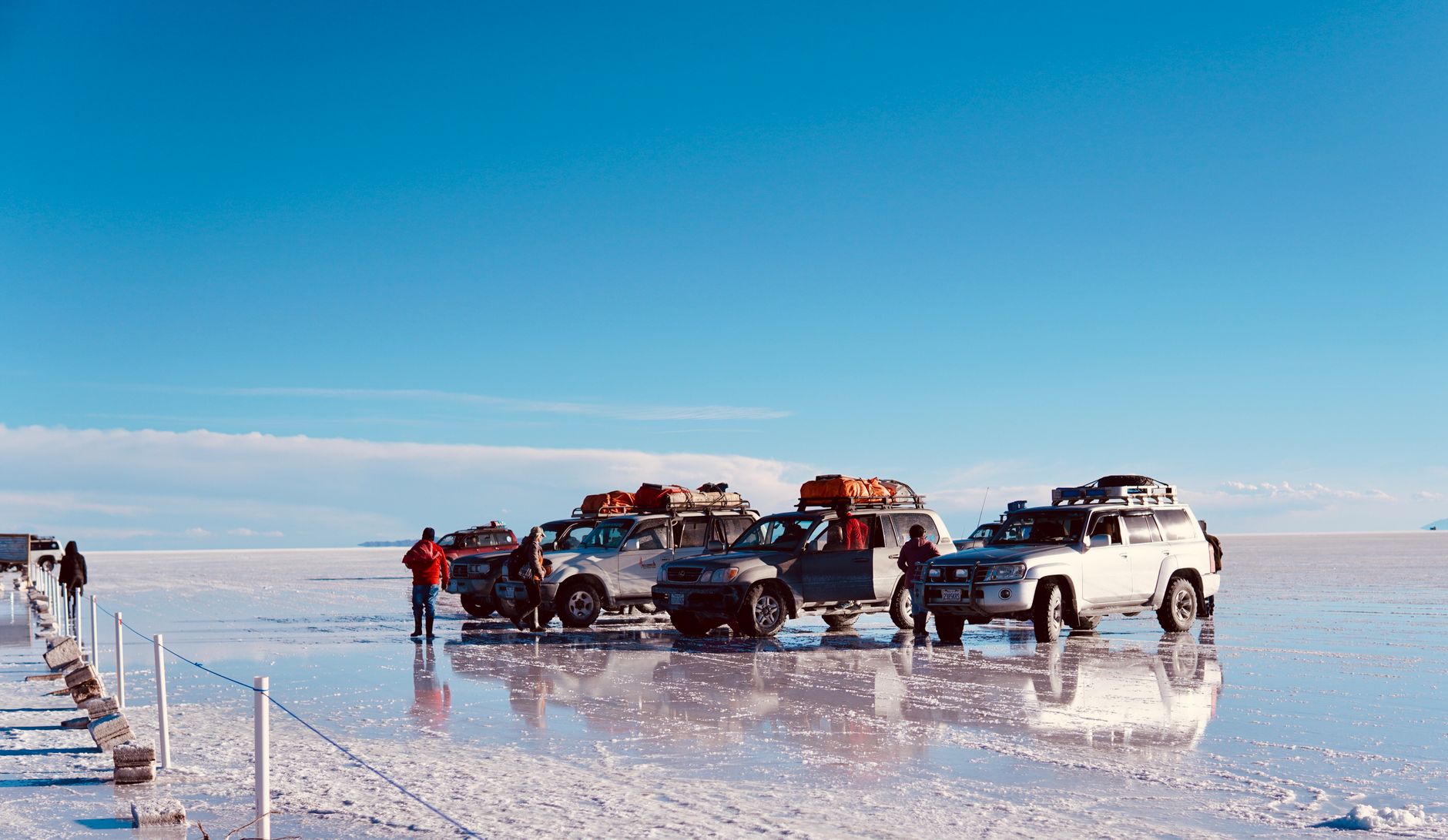
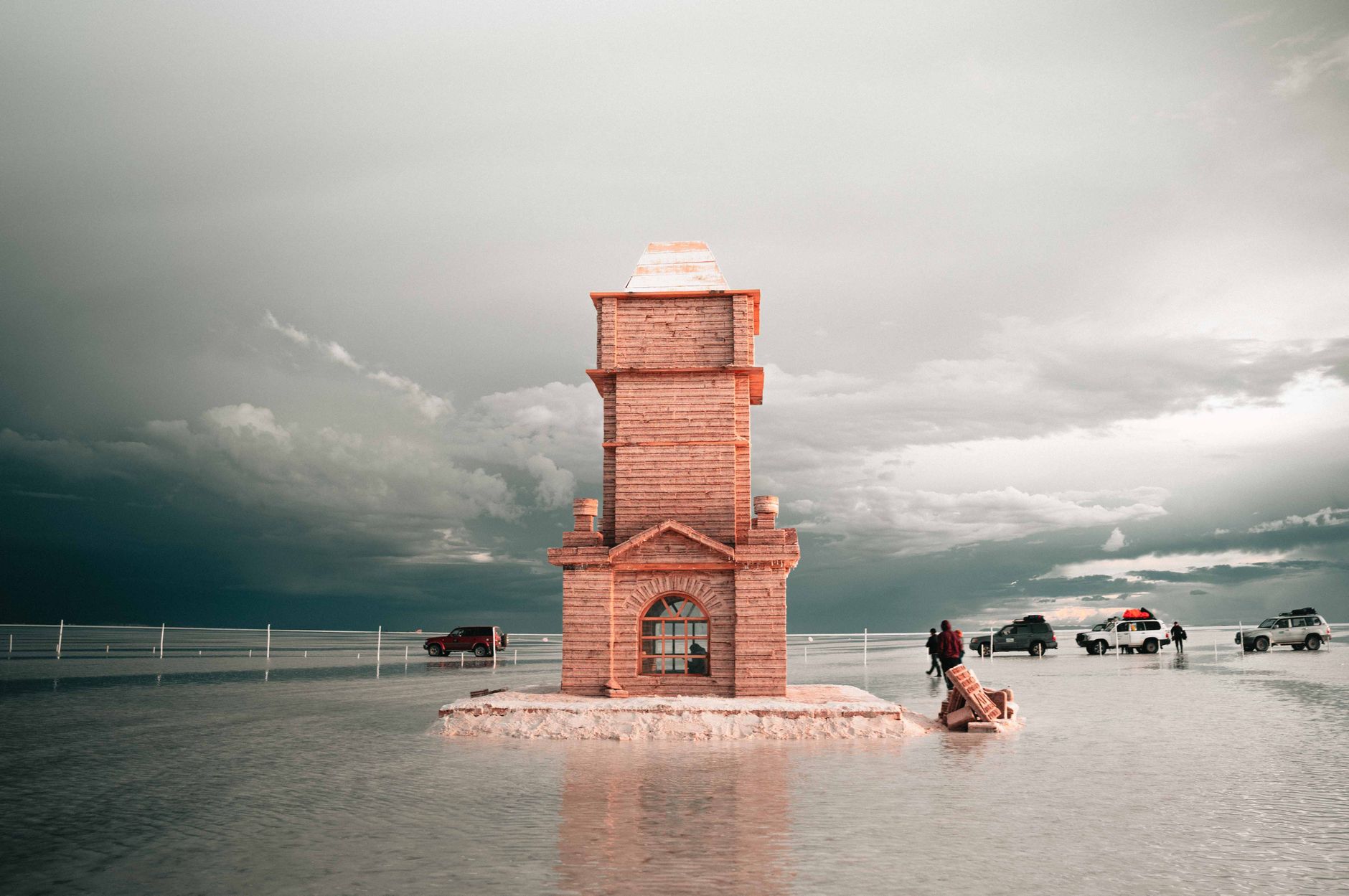
The Salar sits in southwestern Bolivia on the Andean Altiplano, and it rewards two very different kinds of visit: the bone-dry months, when the crust is solid and the sky presses down like a dome of blue glass, and the wet season, when a thin sheet of water turns the whole surface into a mirror that doubles the clouds above it.
How Salar de Uyuni came to be
The salt you walk on is the residue of a chain of prehistoric lakes. Around 30,000–42,000 years ago, this corner of the Altiplano lay beneath Lake Minchin — named for Juan B. Minchin of Oruro — a body of water that eventually gave way to the deeper Paleo Lake Tauca, which at its peak reached 140 metres in depth. A younger lake, Coipasa, followed, radiocarbon-dated to roughly 11,500–13,400 years ago. As each successive lake shrank and dried, it left behind thick evaporitic salt deposits. Seven Late Pleistocene lakes in succession, each one smaller than the last, built the crust you cross today.
The town of Uyuni grew up separately, in the 1920s, as a transit hub for the mining industry. When that industry collapsed, its steam locomotives were left to rust in the desert outside town — the Cementerio de Trenes, a yard of early-1900s engines that has outlasted the economy that built them.
Who and what shaped it
People who shaped it
Landmark buildings
See Salar de Uyuni in motion
Plan your visit
On the map
When to go
The dry season (April–October) gives you full access to the Salar and reliably clear skies, but nights in June and July can drop to -15°C, so pack accordingly. The rainy season (December–April, peaking mid-January to late February) brings warmer nights and the mirror effect — a thin film of water that turns the flat into a near-perfect reflection of the sky — though Potosí regulations cap how far into the Salar you can drive at 15 km.
Right now
Background & history adapted from Wikipedia (CC BY-SA) · specs from Wikidata (CC0) · weather from Open-Meteo · map data © OpenStreetMap contributors · photos from Wikimedia Commons / Unsplash with per-image credit. No third-party reviews or social posts reproduced.