
Sagarmatha National Park
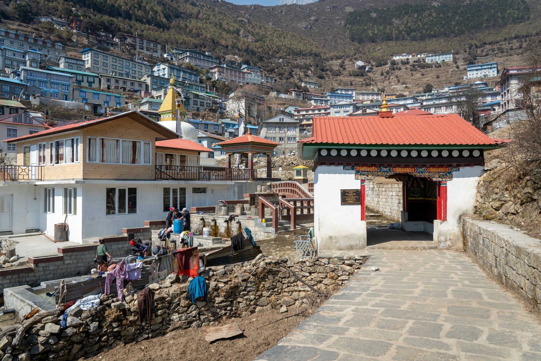
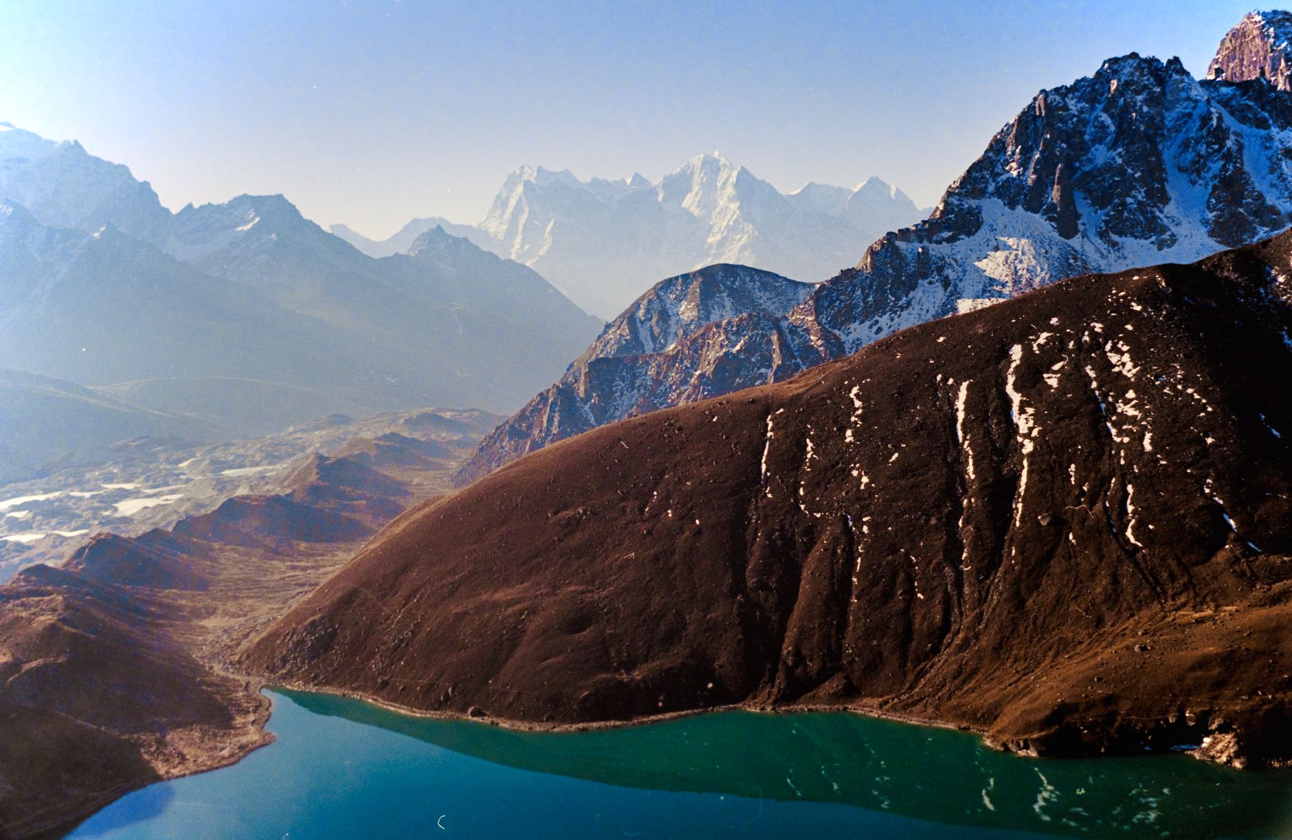
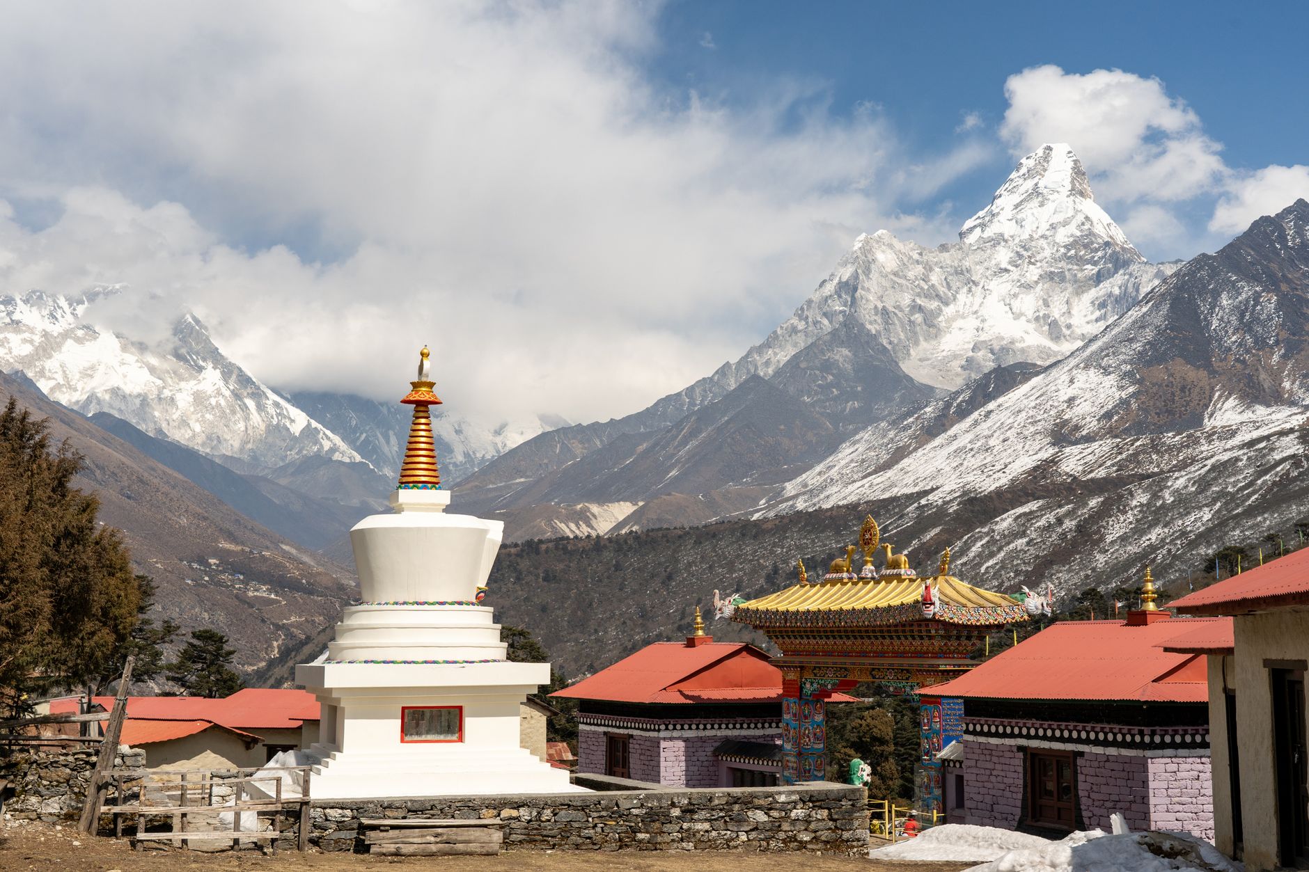
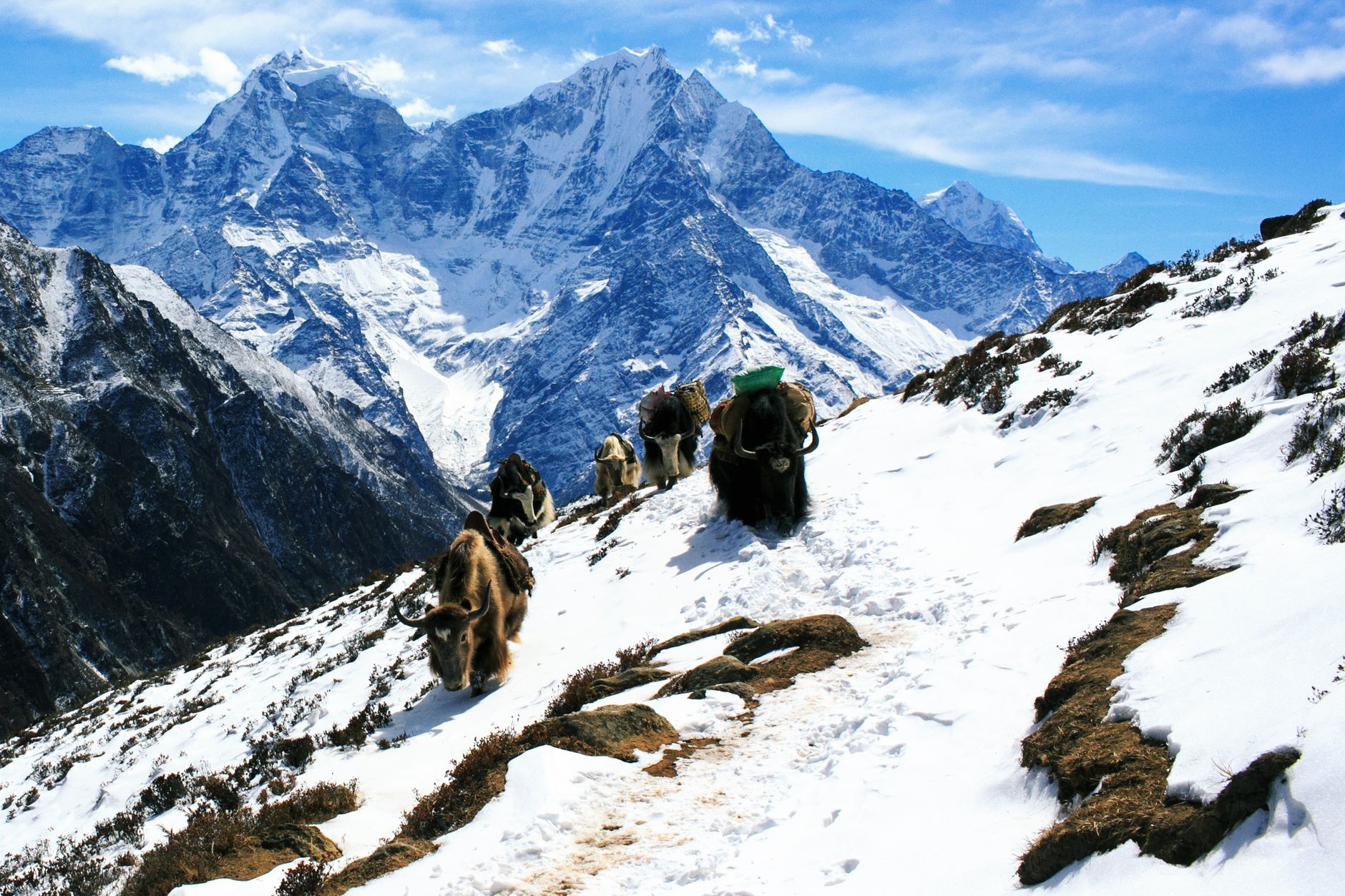

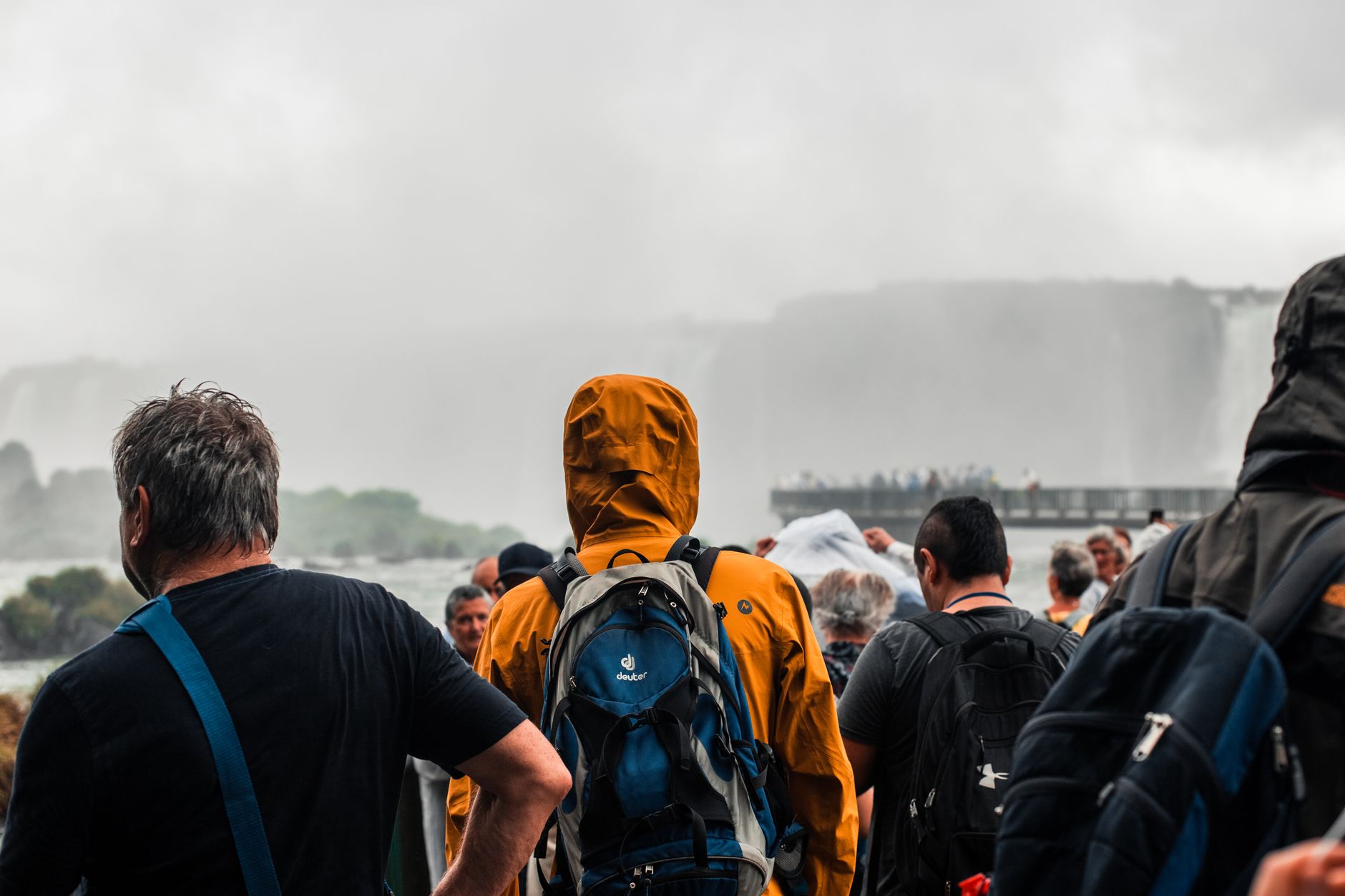
At 8,848 metres, Sagarmatha — the Nepali name for Everest, meaning 'forehead of the sky' — is the fixed point around which everything in this 1,148-square-kilometre park arranges itself. The trails, the weather, the conversations at teahouse tables: all of it orients toward that summit. But the park is far larger than any single peak. Lhotse, Cho Oyu, Ama Dablam, and Pumori crowd the skyline, and the Gokyo Lakes — the world's highest freshwater lake system — sit quietly at around 4,700 metres, rarely mentioned until you're standing at their edge.
The Sherpa communities who have lived here for more than four centuries across settlements like Namche Bazaar, Khumjung, and Pangboche give the park its human texture. Tengboche Monastery hosts festivals that predate any trekking route. You move through this landscape entirely on foot — there is no other way.
How Sagarmatha National Park came to be
The park's creation was announced at a WWF congress in Bonn in 1973, and it was formally established on 19 July 1976 under Nepal's National Parks and Wildlife Conservation Act — the first protected area of its kind in the country's high Himalaya. Three years later, in 1979, it became Nepal's first natural site inscribed on the UNESCO World Heritage list, recognised for its extraordinary mountain ecosystems and the cultural traditions of the Sherpa people.
A 275-square-kilometre buffer zone was added in January 2002, and in 2007 the Gokyo Lakes received Ramsar designation as a wetland of international importance. The 1961 school at Khumjung village, built by Sir Edmund Hillary's Himalayan Trust, stands as one of the more tangible legacies of the mountaineering era on the communities that made it possible.
Who and what shaped it
People who shaped it
Landmark buildings
See Sagarmatha National Park in motion
Plan your visit
On the map
When to go
Autumn (September to November) brings stable skies, moderate daytime temperatures around 15–25°C at lower elevations, and nights that drop sharply to around -10°C higher up — dress in layers regardless of the sun. Spring (March to May) is the other reliable window; the monsoon months of June through August bring heavy rain, slippery trails, and persistent cloud cover, while December through February is clear but genuinely cold, with nighttime temperatures falling to -15°C at altitude.
Right now
Background & history adapted from Wikipedia (CC BY-SA) · specs from Wikidata (CC0) · weather from Open-Meteo · map data © OpenStreetMap contributors · photos from Wikimedia Commons / Unsplash with per-image credit. No third-party reviews or social posts reproduced.