
Sabah
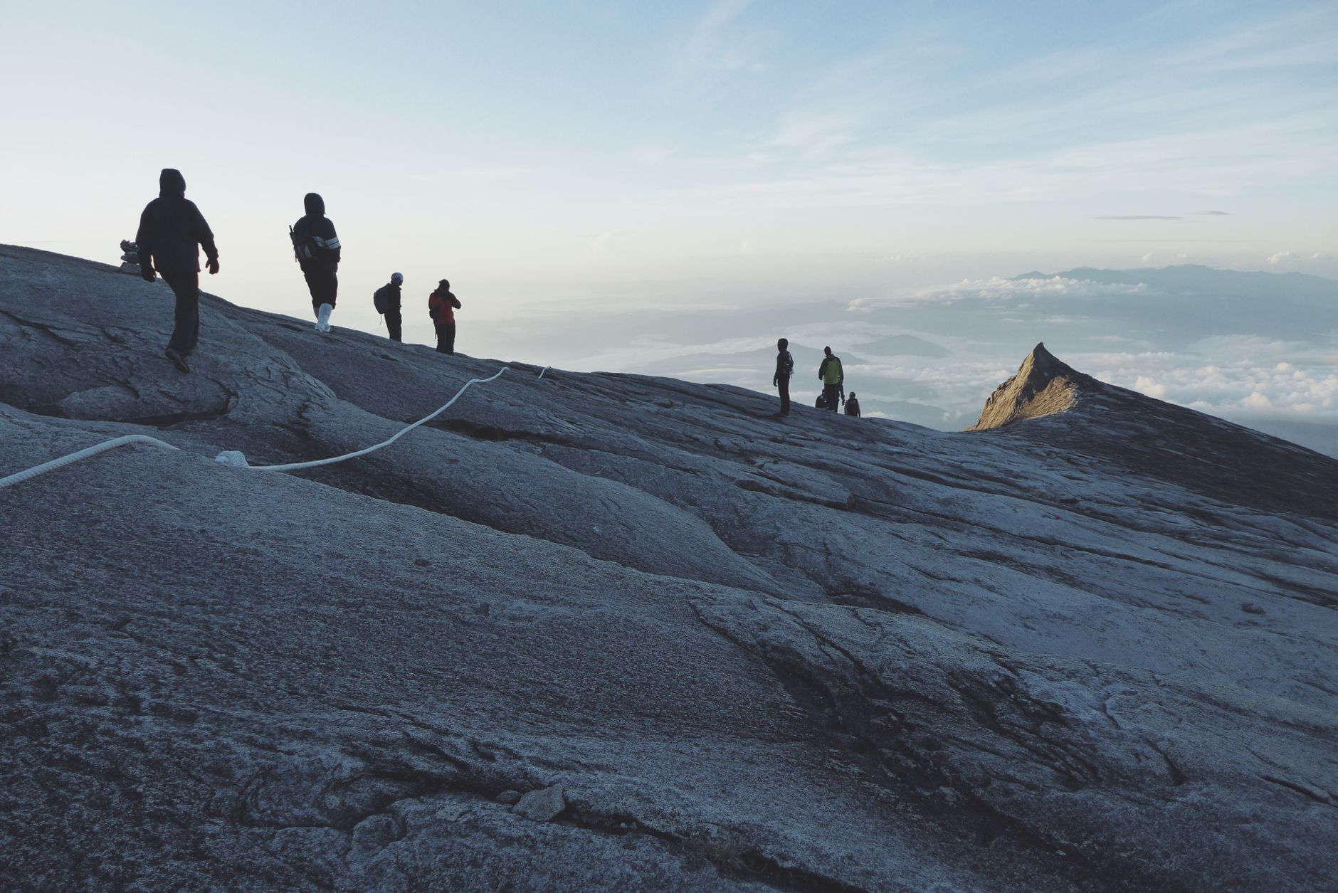
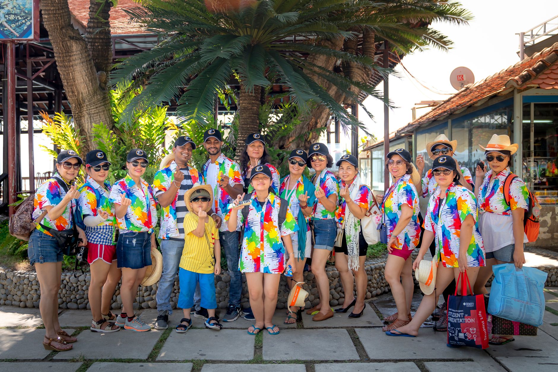

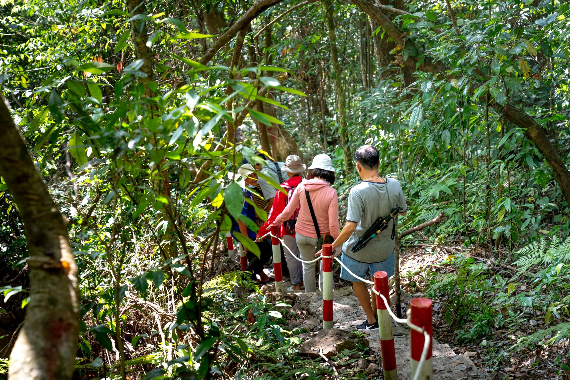
Sabah occupies the northern tip of Borneo, and the island's scale announces itself immediately: from the window of a plane descending into Kota Kinabalu, you see jungle running almost to the coast, and behind it the granite shoulders of Mount Kinabalu rising above the clouds. This is the second-largest Malaysian state, a founding member of the federation since 16 September 1963, and one of the few places on earth where orangutans, pygmy elephants, and proboscis monkeys share the same river systems.
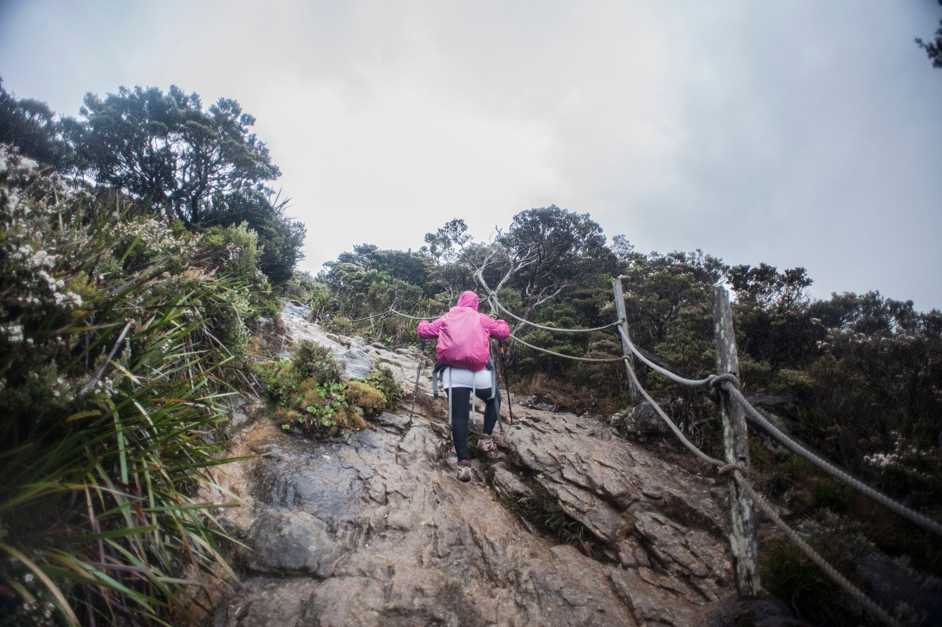
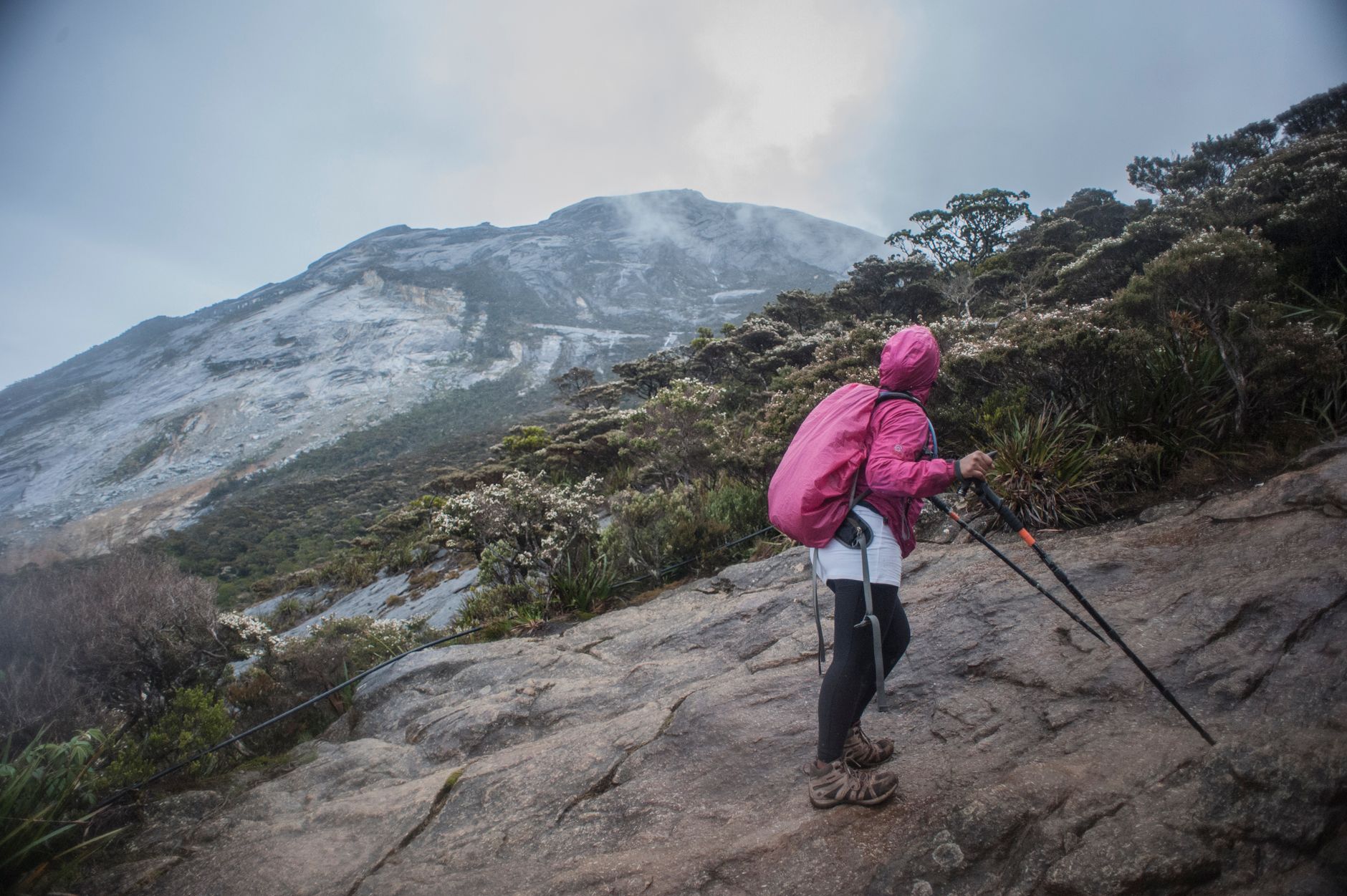
The region draws divers to the waters off Tawau, wildlife watchers to the Kinabatangan floodplain, and climbers to Southeast Asia's highest peak — but it also rewards slower travel: colonial stone churches in Sandakan, a 1905 clock tower still standing in the capital, and cave systems near Darvel Bay where people have lived for at least 20,000 years.
💛 What travellers fall for
People who come back tend to split their time between coasts. Fly into Kota Kinabalu for the west — islands, the clock tower, the city mosque on its stilts — then take a separate flight to Sandakan or Tawau for the east. Trying to road-trip the whole state in one go almost always means spending too many hours on winding highland roads.
How Sabah came to be
Sabah's oldest known human occupation traces to the Madai-Baturong caves near Darvel Bay, some 20,000–30,000 years ago. By the 14th century the region had trade ties with China and sat within the orbit of the Bruneian Empire. The British North Borneo Chartered Company arrived in the 19th century and left behind a handful of structures still standing — among them St Michael's Church in Sandakan (1893) and Kota Kinabalu's Atkinson Clock Tower (1905). Japan occupied the territory for three wartime years, bombing St Michael's in 1945; it was rebuilt and is now a recognised world heritage site.
After the war, Sabah became a British Crown Colony, then achieved self-governance on 31 August 1963, joining Malaysia as a founding state weeks later on 16 September. The capital was renamed from Jesselton to Kota Kinabalu in 1967. The early years of statehood were shaped by three leaders who negotiated the federation agreement — Tun Fuad Stephens for non-Muslim natives, Mustapha Harun for Muslim communities, and Khoo Siak Chew for the Chinese population. Stephens, Sabah's first chief minister, died in a plane crash on 6 June 1976 along with four cabinet ministers.
Who and what shaped it
People who shaped it
Landmark buildings
See Sabah in motion
Plan your visit
On the map
When to go
Sabah is tropical year-round, with temperatures generally between 23°C and 33°C at sea level. The west coast is drier from March to September — better for climbing Kinabalu and island-hopping — while the east coast tends to see heavier rain between November and February.
Right now
Background & history adapted from Wikipedia (CC BY-SA) · specs from Wikidata (CC0) · weather from Open-Meteo · map data © OpenStreetMap contributors · photos from Wikimedia Commons / Unsplash with per-image credit. No third-party reviews or social posts reproduced.