
Riviera Maya
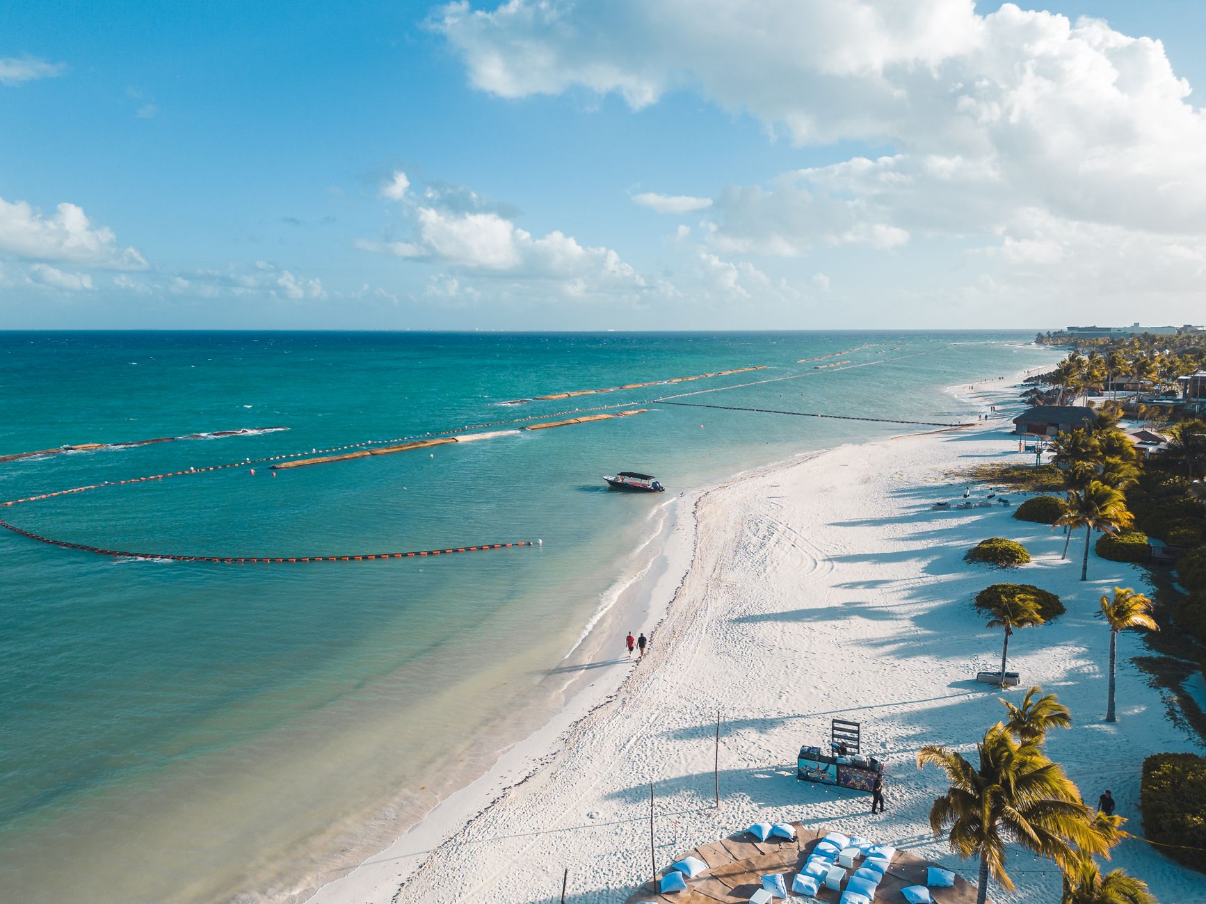
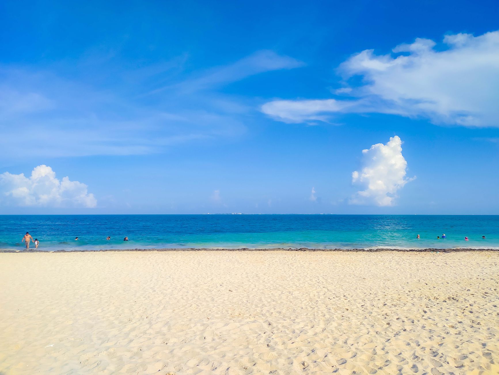
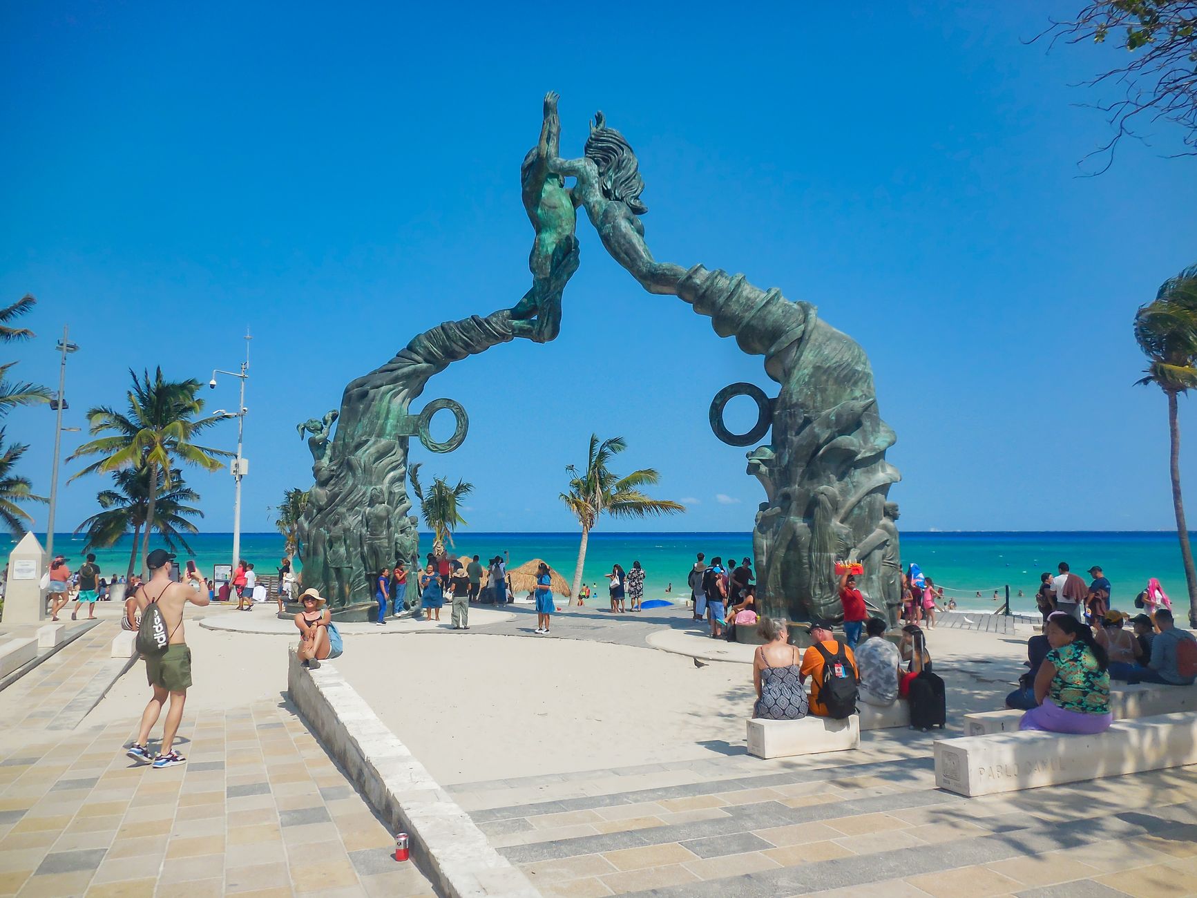
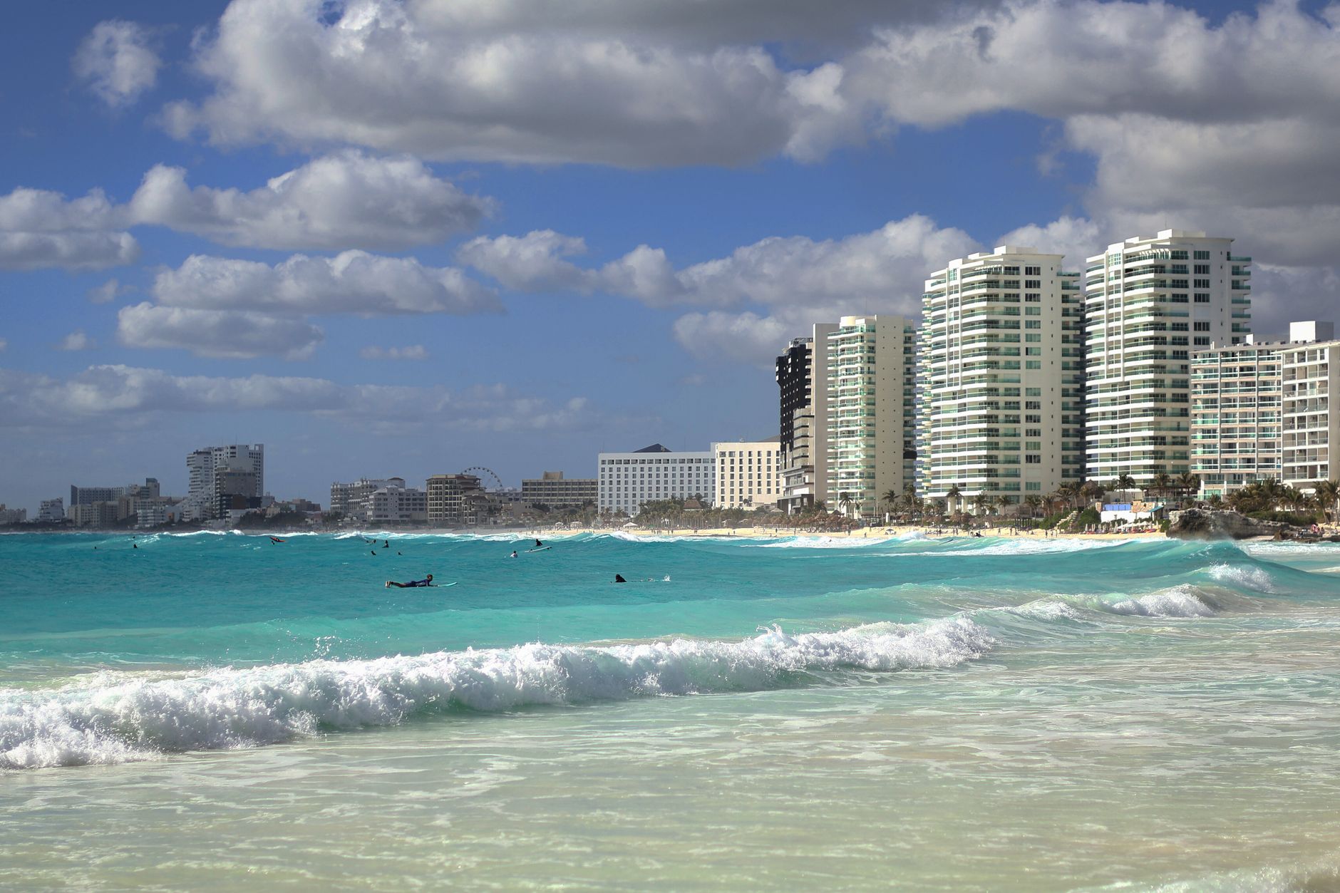
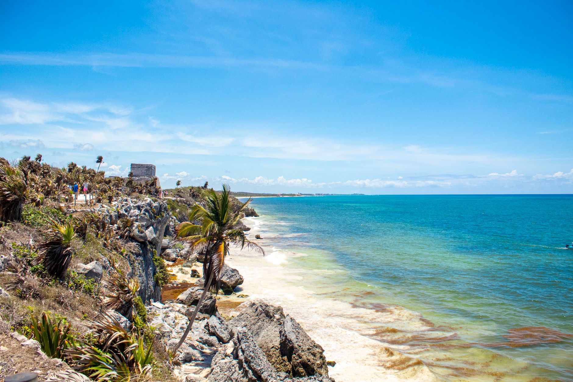
The Riviera Maya runs south from Puerto Morelos down through Playa del Carmen and on past Tulum, a long corridor of Caribbean coast where the reef sits close enough to shore that you can hear the waves breaking over it at night. What makes the region coherent isn't a single town but the reef itself — the Great Maya Reef, second longest in the world — and the limestone shelf beneath it, riddled with cenotes that connect the jungle to the sea underground.
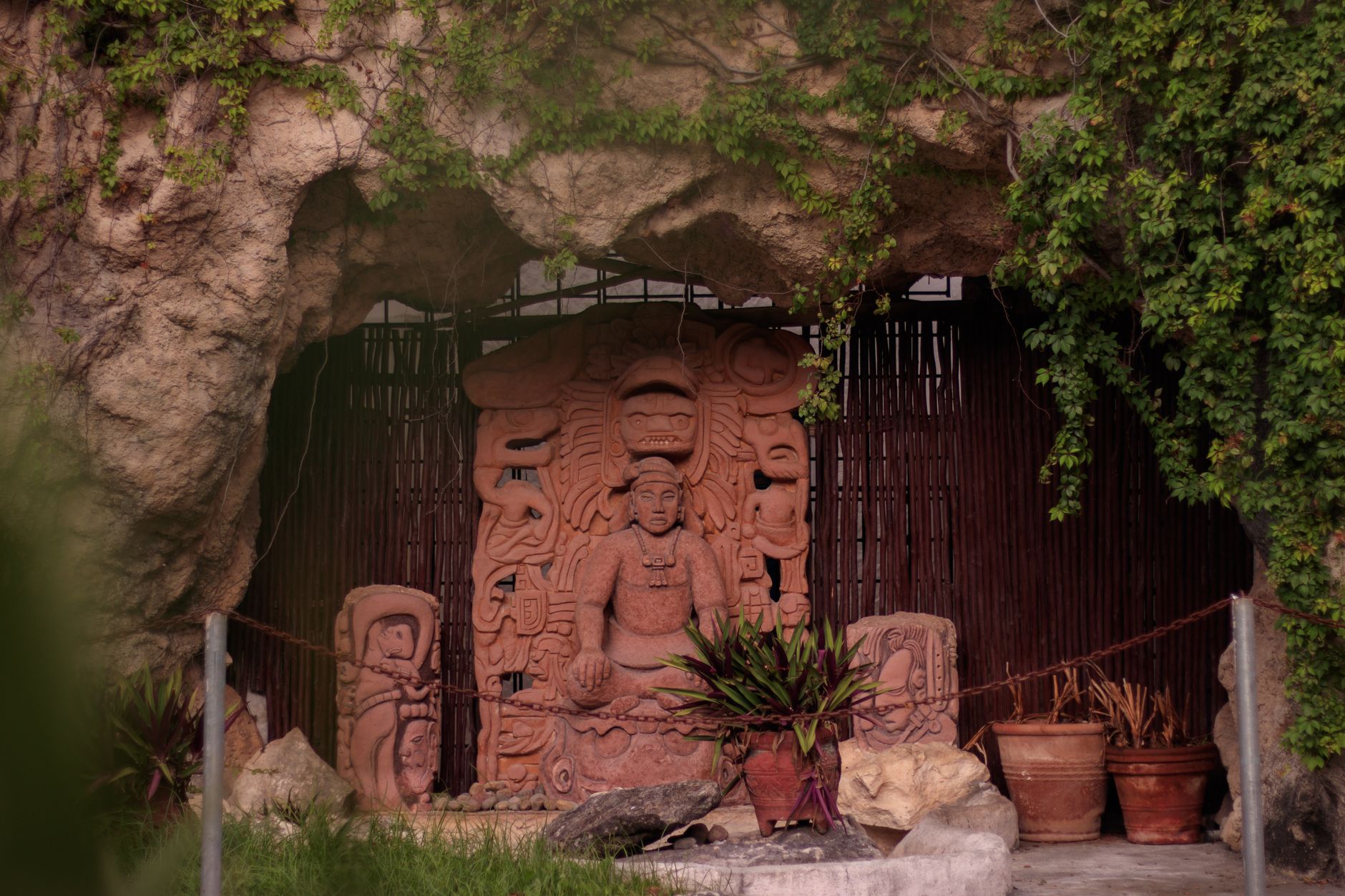
Above ground, the Yucatán peninsula layers its history in plain sight: Postclassic Maya ruins at Tulum, the towering Nohoch Mul pyramid at Cobá, and Sian Ka'an Biosphere Reserve — whose name translates as "where the sky was born" — stretching fifteen miles south of Tulum across every ecosystem the peninsula holds.
How Riviera Maya came to be
For most of the 20th century this stretch of coast had no unified identity. The Cancún–Tulum corridor, as it was known, began drawing attention only in the 1980s, when improving infrastructure and a building boom transformed the northern end of the peninsula into a resort destination for visitors from the Americas and Europe. Quintana Roo itself had only become a full Mexican state in 1974, a change that accelerated development across Cancún, Isla Mujeres, and Cozumel.
The name Riviera Maya came later — 1999 — coined in deliberate echo of the European rivieras, with Miguel Ramón Martín Azueta among those who pushed for it. It originally described only the coastline between Playa del Carmen and Tulum, but has since expanded north to Puerto Morelos and south past Tulum to Felipe Carrillo Puerto, absorbing a corridor that had been quietly accumulating resort hotels, eco-parks, and archaeological sites for two decades.
Who and what shaped it
People who shaped it
Landmark buildings
See Riviera Maya in motion
Plan your visit
On the map
When to go
The dry season runs December through April, with daytime temperatures in the high 20s Celsius and cooler nights; January and February can be breezy courtesy of El Norte winds blowing in from the north. The rainy season stretches May through November — warm and humid, with afternoon downpours that tend to pass quickly, though this window also overlaps with hurricane season.
Right now
Background & history adapted from Wikipedia (CC BY-SA) · specs from Wikidata (CC0) · weather from Open-Meteo · map data © OpenStreetMap contributors · photos from Wikimedia Commons / Unsplash with per-image credit. No third-party reviews or social posts reproduced.