
Ratanakiri Province
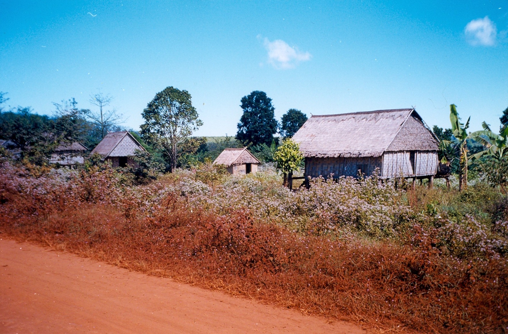
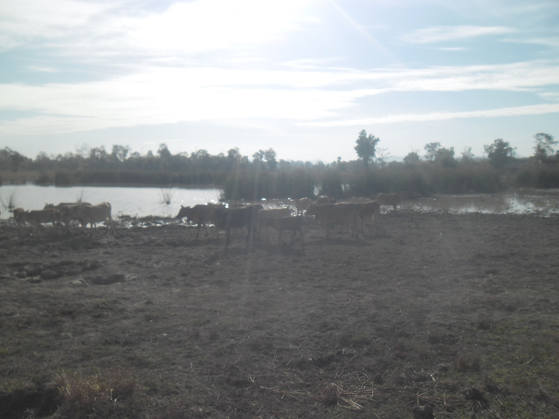
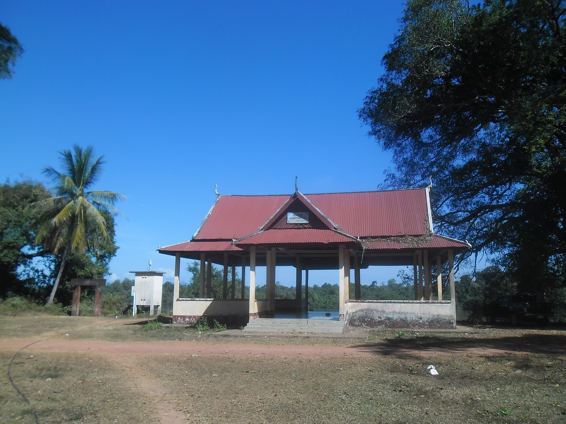
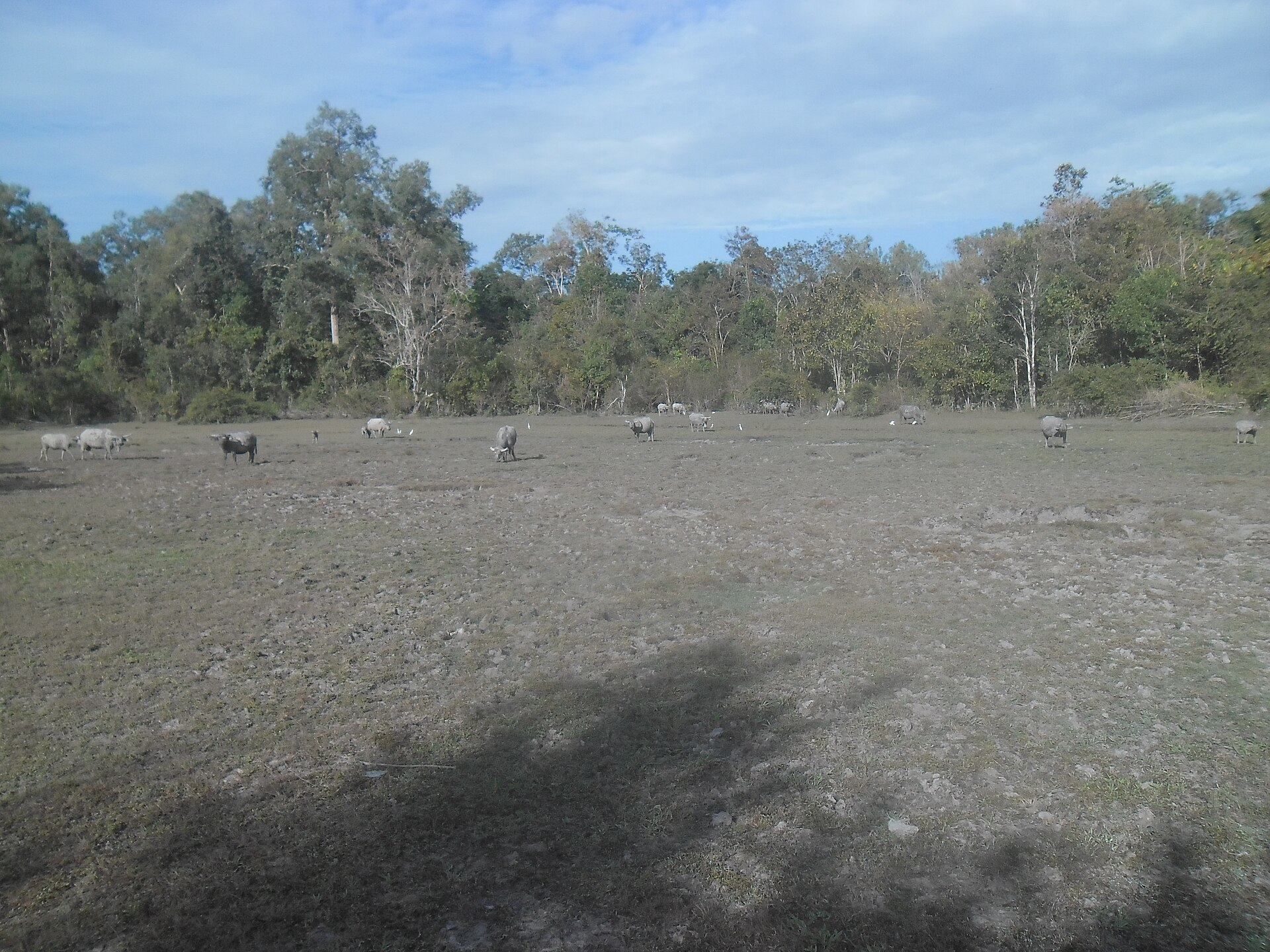
Ratanakiri sits in Cambodia's far northeast corner, 588 kilometres from Phnom Penh, where red laterite dust coats everything — motorbikes, market stalls, the hems of your trousers — and the air smells of woodsmoke and wet jungle. The provincial capital, Banlung, earned the nickname "Red City" honestly. Beyond it, a volcanic crater lake called Yeak Laom sits in near-perfect stillness, 48 metres deep and ringed by forest, formed more than 700,000 years ago.
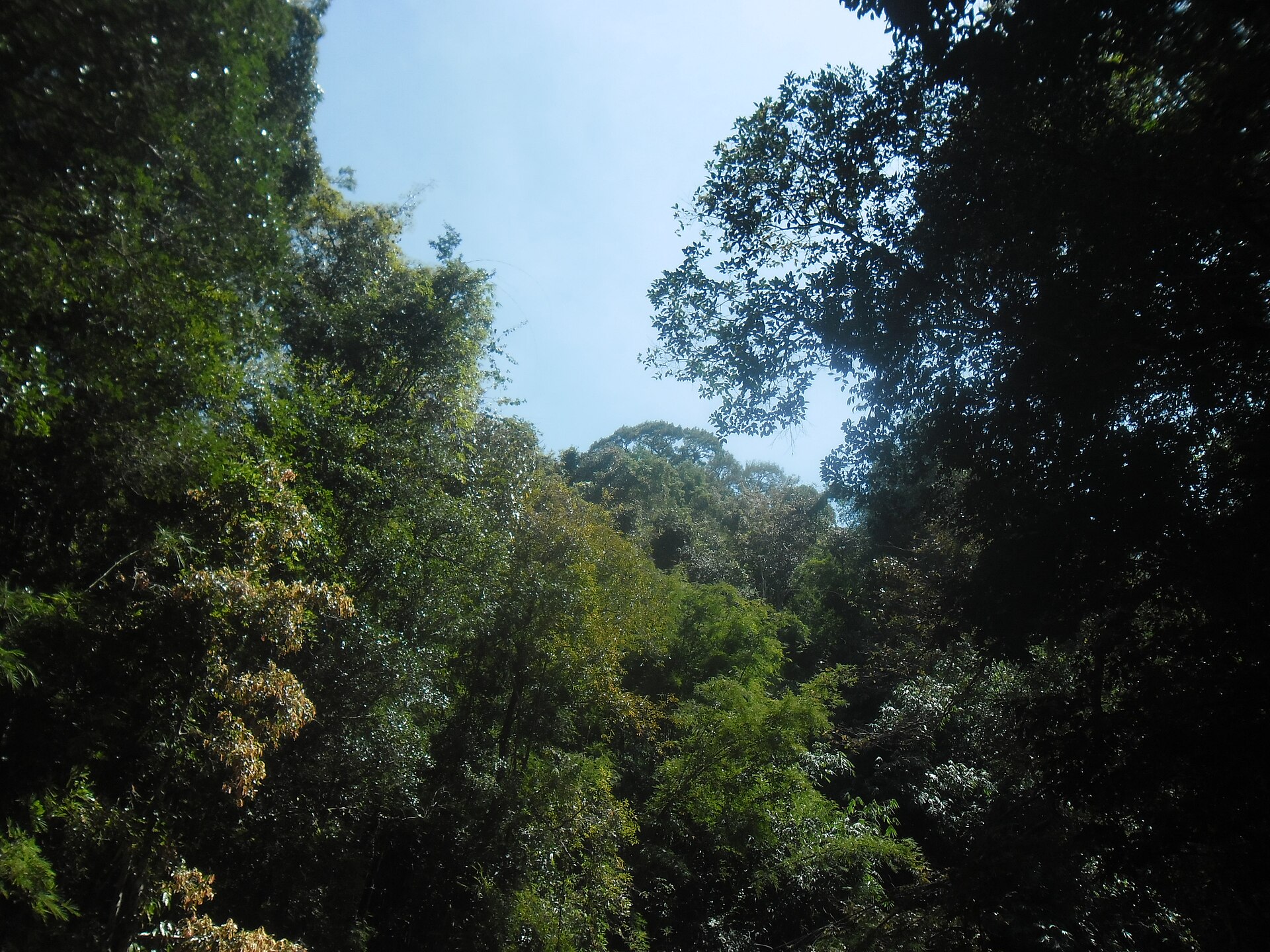
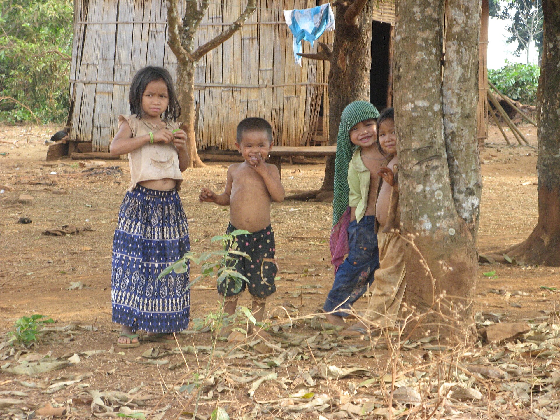
This is the most ethnically diverse corner of Cambodia. Around half the province's 184,000 residents belong to Khmer Loeu highland groups — Tampuan, Jarai, Kreung, Brou and others — whose villages predate any empire that ever tried to claim this land. Virachey National Park, at 3,325 square kilometres, absorbs much of the eastern reaches, its canopy running unbroken toward the Vietnamese and Lao borders.
How Ratanakiri Province came to be
Ratanakiri was carved out of Stung Treng Province in 1959 and became a formal province of Cambodia in 1960, but the highlands had been occupied since at least the Stone or Bronze Age, with trade routes to the Gulf of Thailand documented from the 4th century AD. No empire — Cham, Khmer, Annamite, or Thai — ever brought the region under lasting control, though highland villages endured centuries of slave raids from Khmer, Lao, and Thai traders.
French Indochina administered the area from 1893 to 1953. In the 1950s and 1960s, Norodom Sihanouk's Khmerization campaign forcibly relocated some Khmer Loeu to the lowlands and introduced rubber plantations and roads. The Khmer Rouge established its headquarters here in the 1960s, and US bombing during the Vietnam War left deep scars. After 1979, the province was largely left to itself; road attacks continued until 2002, and the Khmer Loeu were gradually permitted to return to their traditional ways.
Who and what shaped it
People who shaped it
Landmark buildings
See Ratanakiri Province in motion
Plan your visit
On the map
When to go
The dry season runs roughly November to April — easier roads, clearer skies, and the lake at its most inviting. The wet season brings the waterfalls to full force but turns many tracks into red mud; travel slows considerably from June onward.
Right now
Background & history adapted from Wikipedia (CC BY-SA) · specs from Wikidata (CC0) · weather from Open-Meteo · map data © OpenStreetMap contributors · photos from Wikimedia Commons / Unsplash with per-image credit. No third-party reviews or social posts reproduced.