
Ras Al Khaimah
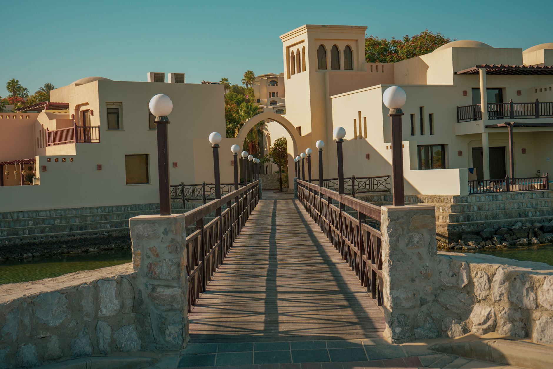
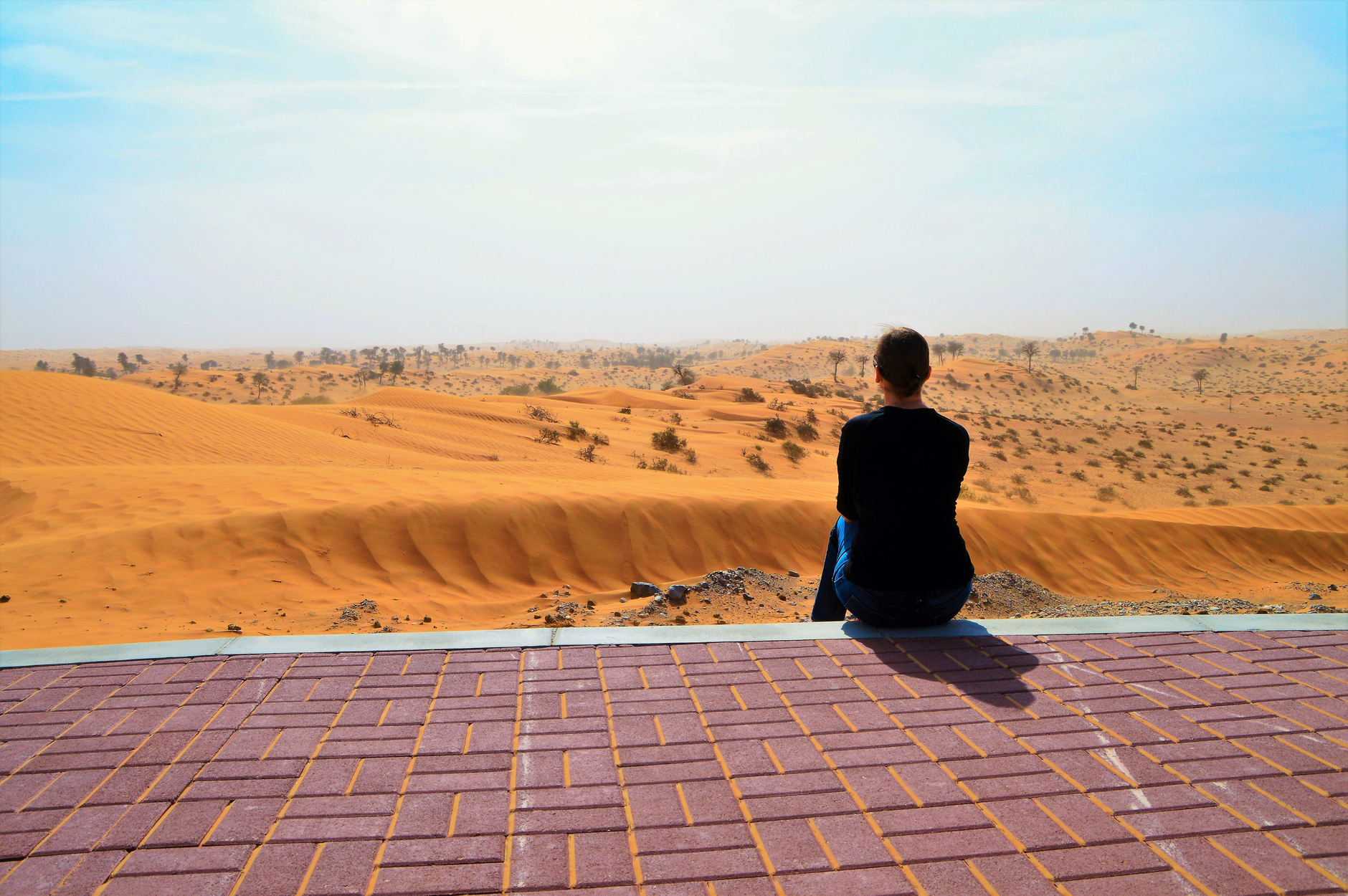
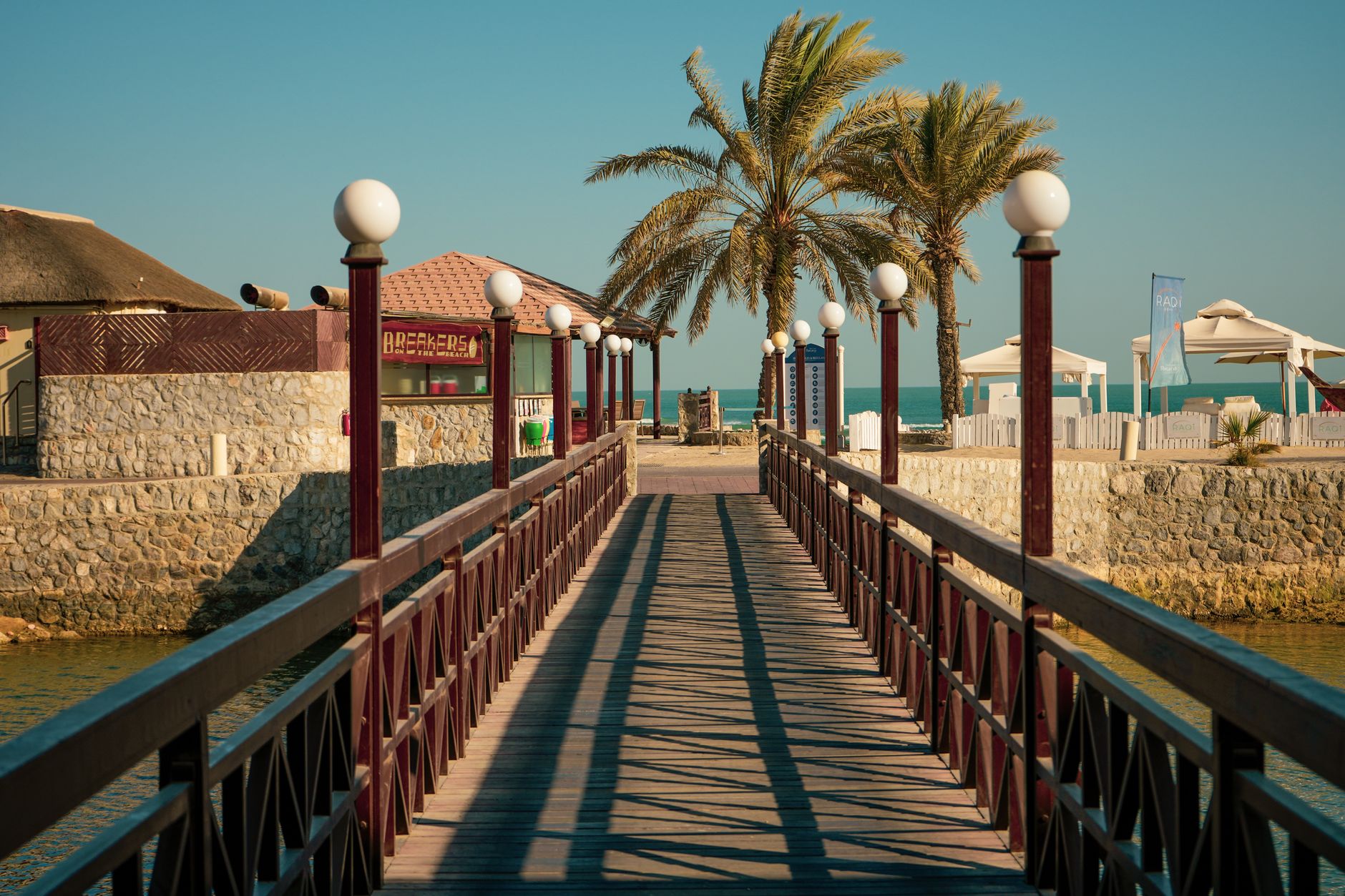
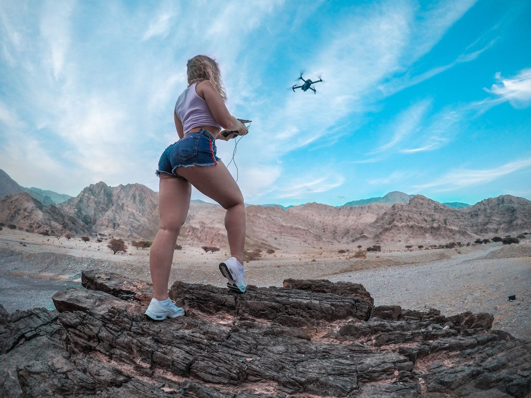
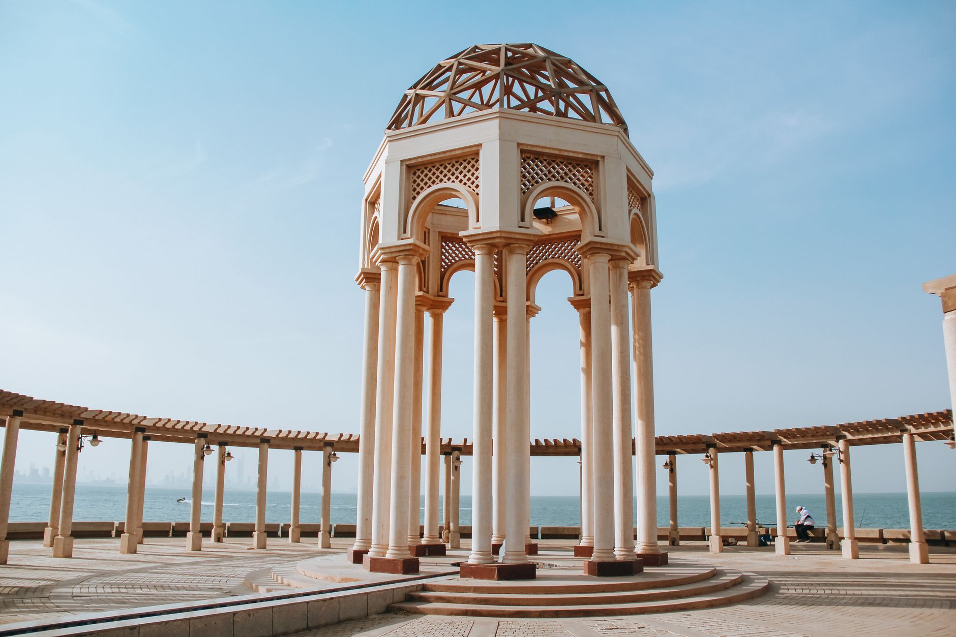
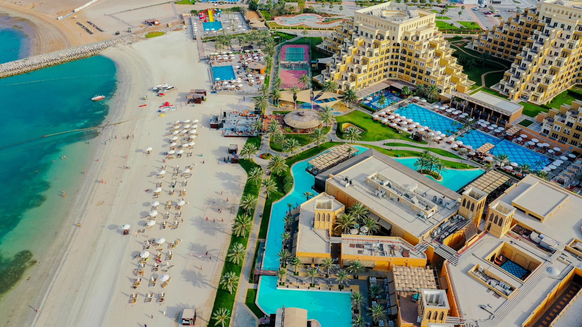
The name means 'Headland of the Tent', and there's something in that — a place where people have always stopped, set up, stayed longer than planned. Ras Al Khaimah sits at the northern tip of the UAE, where the Hajar Mountains push down almost to the sea and the Neolithic left traces that archaeologists are still cataloguing across roughly a thousand sites.
This is the emirate where the topography does the talking. Jebel Jais, the UAE's highest peak at 1,934 metres, draws hikers and zipline riders. Down on the coast, a ghost village of four hundred intact buildings stands exactly where a pearling community walked away from it in the 1960s. The scale here is human, the pace slower than the emirates to the south.
How Ras Al Khaimah came to be
People have lived on this headland for seven thousand years, but the place as a named entity steps into the record around the early 16th century, when it grew to replace the older port of Julfar. The Portuguese held it from 1507; the Qawasim — the Al Qasimi tribe whose descendants still rule today — established their maritime power here in the early 18th century, building a fleet that made them a serious force in the Gulf.
That fleet brought confrontation: the British mounted a campaign in 1809 and destroyed much of it, then imposed the General Maritime Treaty of 1820. Ras Al Khaimah broke from Sharjah in 1869, was briefly reincorporated between 1900 and 1921, and was the last of the seven emirates to join the UAE, doing so on 10 February 1972 under Sheikh Saqr bin Mohammad Al Qasimi.
Who and what shaped it
People who shaped it
Landmark buildings
See Ras Al Khaimah in motion
Plan your visit
On the map
When to go
Summers (June–September) are intensely hot and humid, with temperatures regularly above 40°C — manageable only if you're moving between air-conditioned spaces. October through April brings clear skies, cooler evenings, and the kind of mountain air on Jebel Jais that requires an actual layer.
Right now
Background & history adapted from Wikipedia (CC BY-SA) · specs from Wikidata (CC0) · weather from Open-Meteo · map data © OpenStreetMap contributors · photos from Wikimedia Commons / Unsplash with per-image credit. No third-party reviews or social posts reproduced.