
Rara National Park
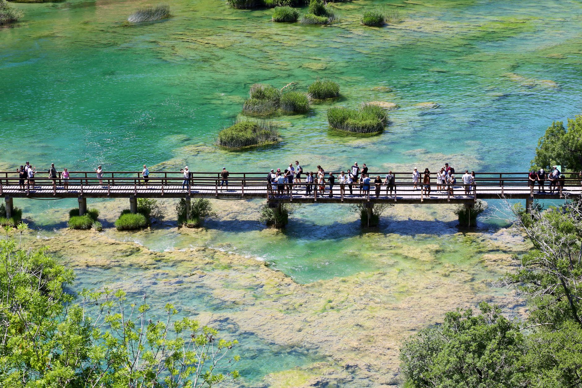


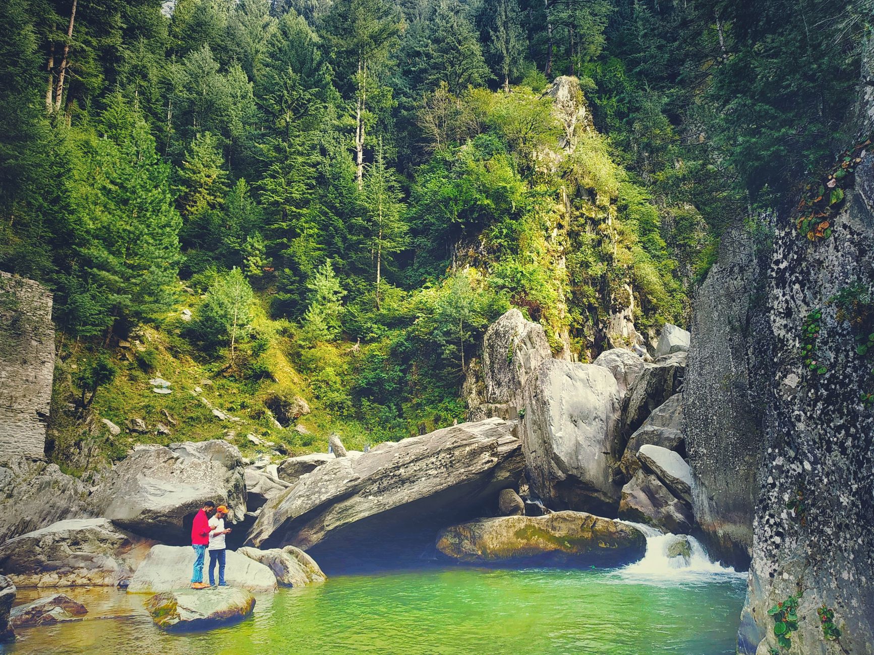
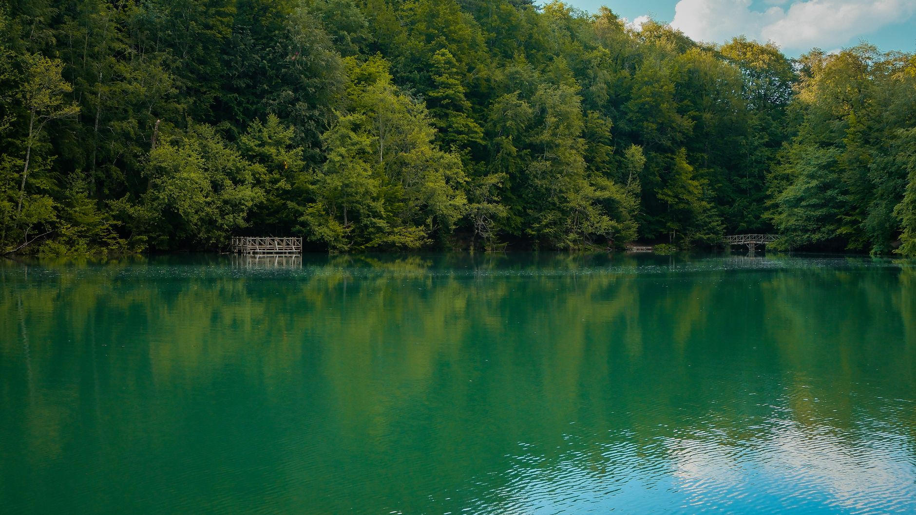
At 2,990 metres, Rara Lake sits in a bowl of Himalayan ridgeline so remote that reaching it takes serious intention — a flight to Nepalgunj, a connection to Talcha or Jumla, and then your own two feet for the last stretch. What you find is Nepal's largest lake: 10.8 square kilometres of water that shifts between slate-blue and turquoise depending on the hour, ringed by pine-forested slopes and framed to the north by the peaks of Ruma Kand and Malika Kand.
At just 106 square kilometres, Rara is Nepal's smallest national park, which means the lake takes up a significant portion of what you've come to see. The circuit around it runs about five to six hours at a steady pace. The Thaku Baba temple sits quietly at the southeastern corner. Chuchemara Peak, at 4,039 metres on the southern side, is the high point of the park and worth the climb for the view back down to the water.
How Rara National Park came to be
Rara National Park was established in 1976 to protect the flora and fauna of the Humla–Jumla region of northwestern Nepal. When the boundaries were drawn, two villages — Rara and Chhapru — sat inside the protected area; their Chhetri, Thakuri, and Magar inhabitants were resettled in Banke District, a displacement that still shapes how the park is remembered locally.
A buffer zone of 198 square kilometres was declared in 2006, and on 23 September 2007 Rara Lake was listed as a Ramsar Site, recognising it as a high-altitude wetland of international importance. The park is managed by Nepal's Department of National Parks and Wildlife Conservation, with the Nepal Army maintaining a presence on the ground.
Who and what shaped it
Landmark buildings
See Rara National Park in motion
Plan your visit
On the map
When to go
April, May, September, and October give you the clearest skies and the most passable trails — temperatures hover between 0°C and 13°C, cold at night but walkable by day. Winter brings ground frost from October onward, snow from December through April, and blocked high passes; the monsoon months of June through August make trekking genuinely difficult.
Right now
Background & history adapted from Wikipedia (CC BY-SA) · specs from Wikidata (CC0) · weather from Open-Meteo · map data © OpenStreetMap contributors · photos from Wikimedia Commons / Unsplash with per-image credit. No third-party reviews or social posts reproduced.