
Raja Ampat Islands
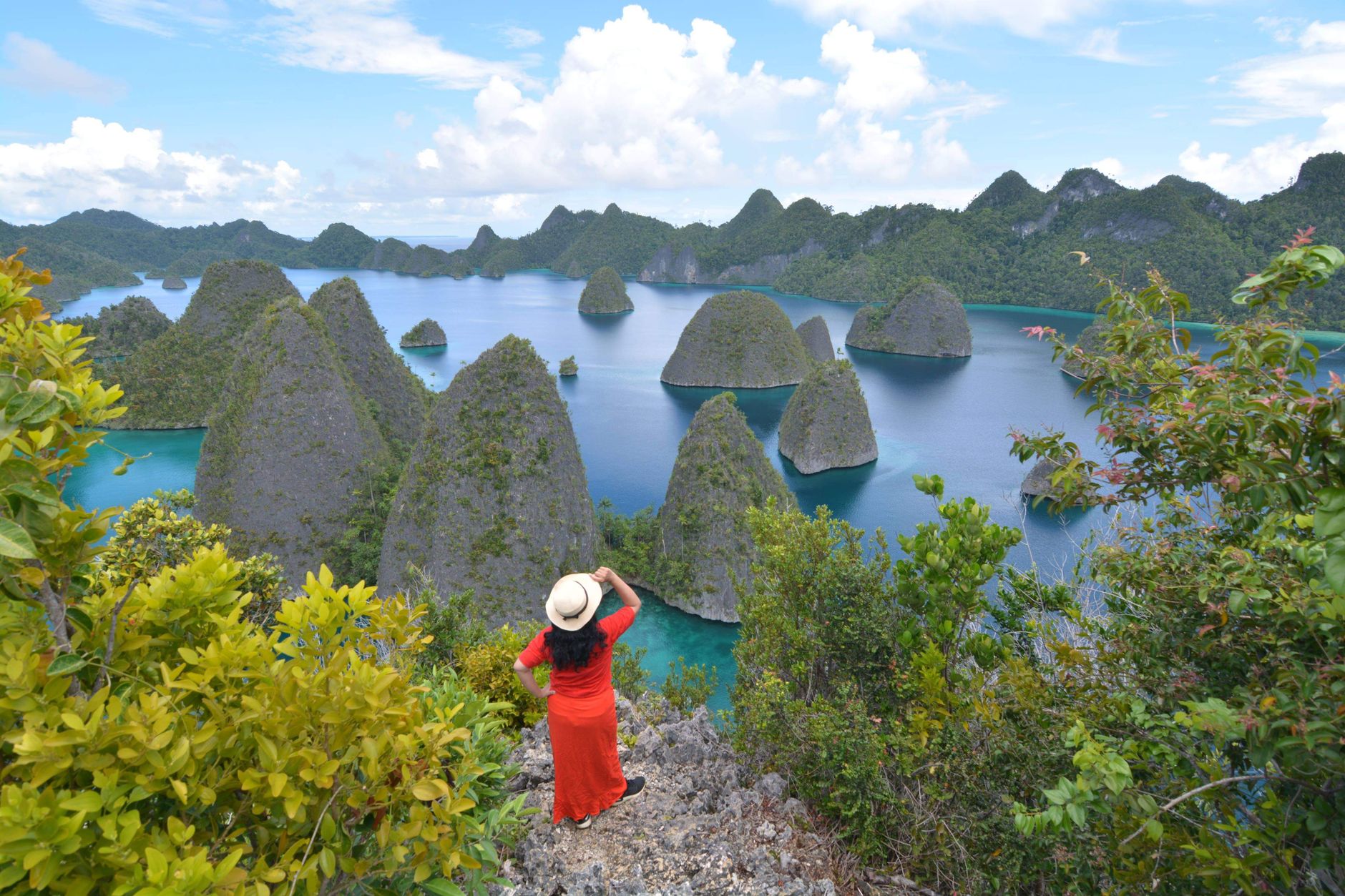
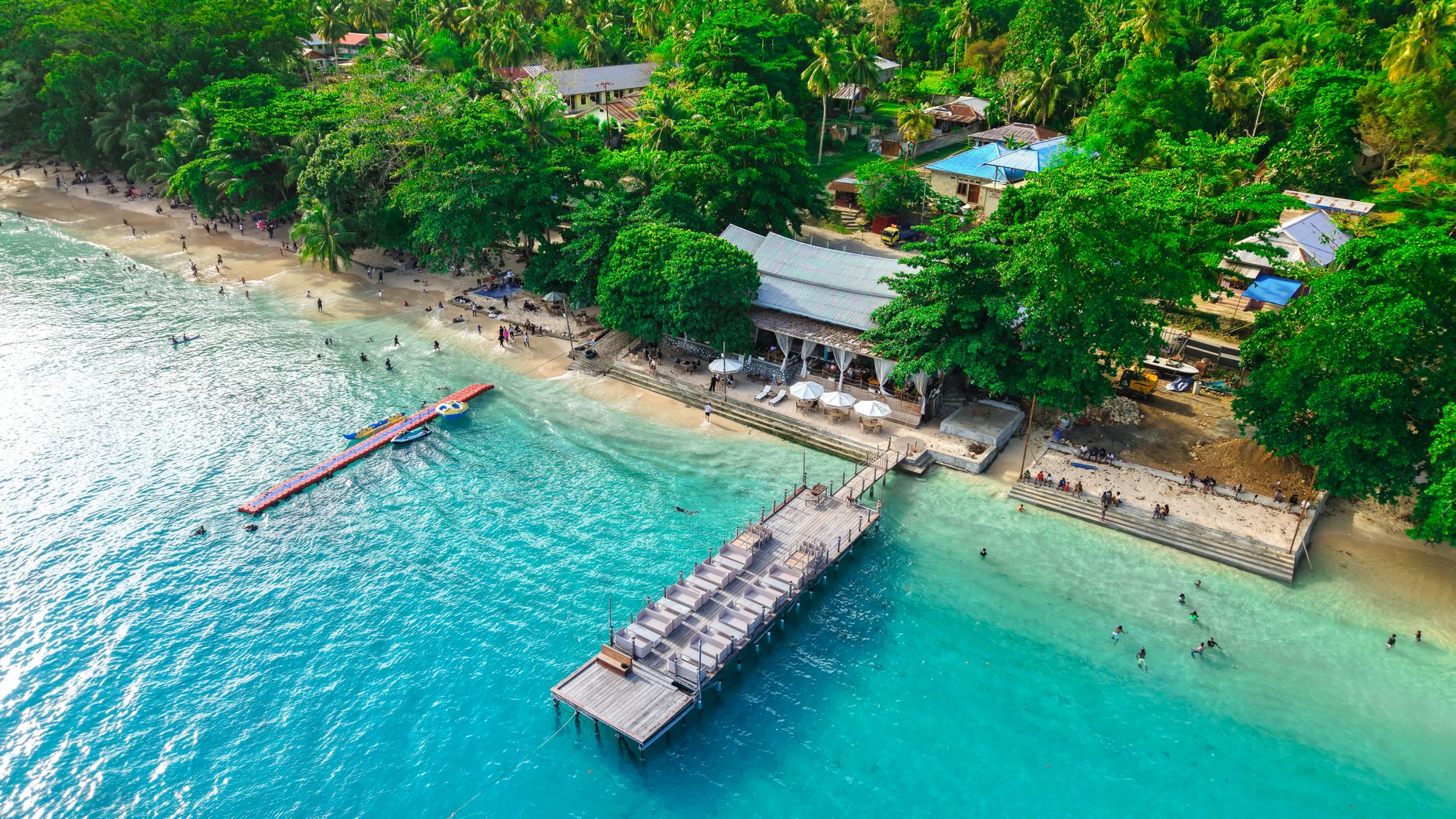

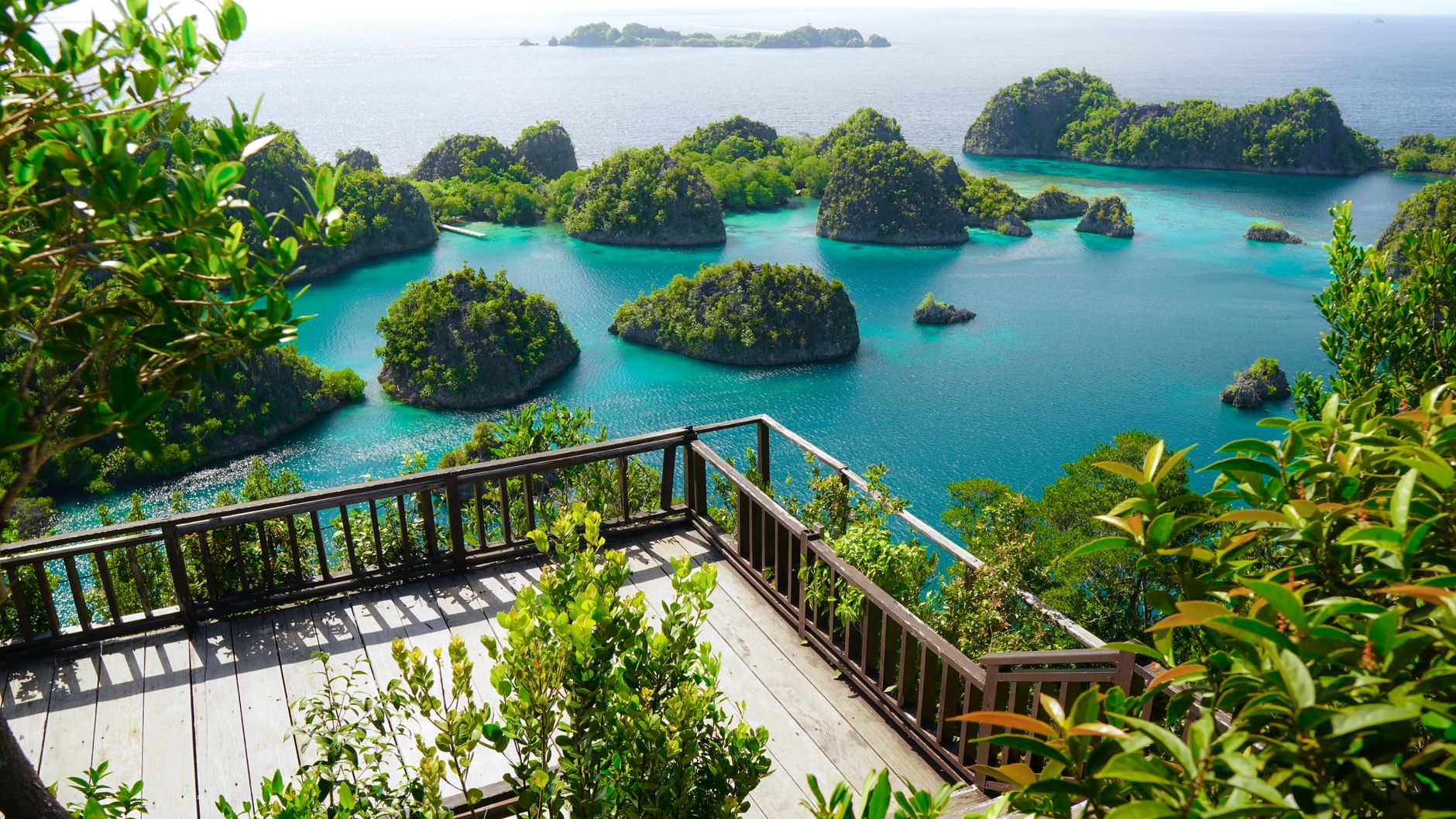
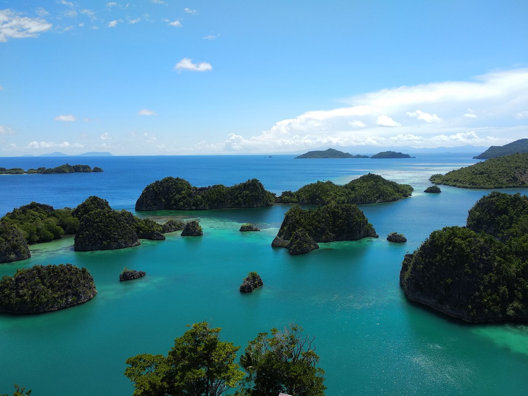
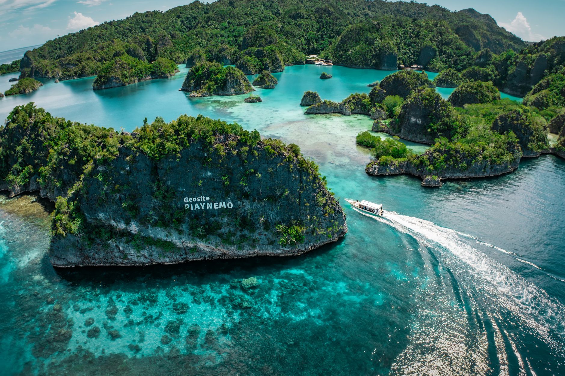
Raja Ampat is roughly 1,500 islands scattered across the Bird's Head Seascape at the far eastern edge of Indonesia — a place where the numbers alone stop you: over 70,000 square kilometres of land and sea, home to just 67,000 people. The limestone karst towers rise straight from the water, trailing roots into lagoons so clear you can count the fish from a boat.
This is one of the most biodiverse marine regions on the planet, and that reputation draws serious divers, researchers, and anyone willing to route through Sorong to get here. In 2025, UNESCO designated it a biosphere reserve — formal recognition of something the sea had been saying for a long time.
💛 What travellers fall for
People who come back tend to anchor on specifics: the manta cleaning stations near Misool, the morning light over Piaynemo before the day-trip boats arrive, the weaving cooperatives on Arborek where you can buy direct. Check current access rules before planning around Wayag — as of mid-2025 it remains closed with no confirmed reopening.
How Raja Ampat Islands came to be
People have lived on these islands for up to 50,000 years, among the earliest human settlements in the region. By the 15th century, the Tidore Sultanate — based in the Maluku Islands — held sway here, appointing four local rulers, or raja, over the main islands of Waigeo, Salawati, Batanta, and Misool. That arrangement gave the archipelago its name: raja ampat means 'four kings.' Portuguese navigator Jorge de Menezes was the first European to record the islands, in 1526, and the English explorer William Dampier later lent his name to the strait between Batanta and Waigeo.
Dutch influence arrived in the 17th century and the islands remained part of the Dutch East Indies until 1962, when the territory passed to Indonesia. Raja Ampat only became its own regency in 2004, having previously been administered from Sorong. A marine protected area designation followed in 2001, the biosphere reserve in 2025.
Who and what shaped it
People who shaped it
Landmark buildings
See Raja Ampat Islands in motion
Plan your visit
On the map
When to go
The dry season runs roughly October to April, when seas are calmer and visibility underwater is at its best. The wet season brings heavier swells to the south, though the north and east can remain diveable year-round for those willing to move around.
Right now
Background & history adapted from Wikipedia (CC BY-SA) · specs from Wikidata (CC0) · weather from Open-Meteo · map data © OpenStreetMap contributors · photos from Wikimedia Commons / Unsplash with per-image credit. No third-party reviews or social posts reproduced.