
Raja Ampat
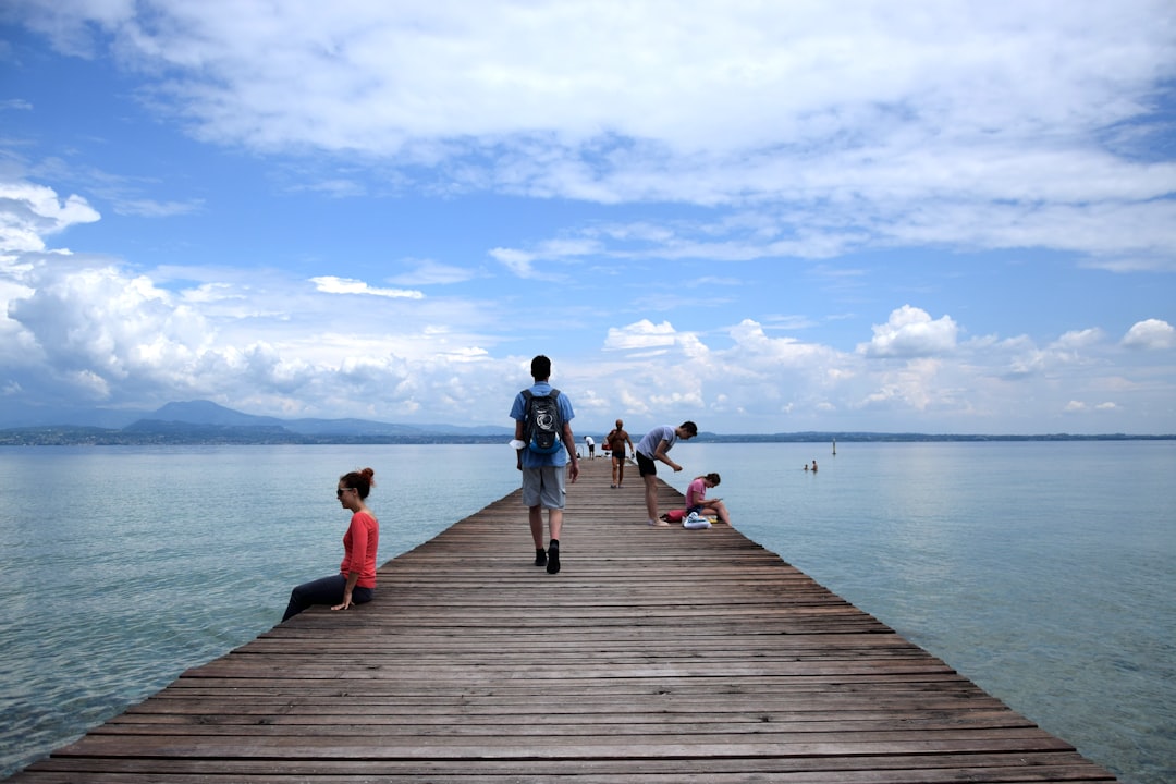
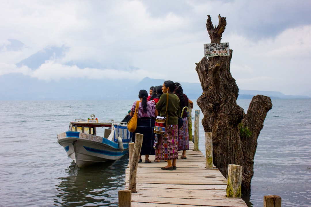
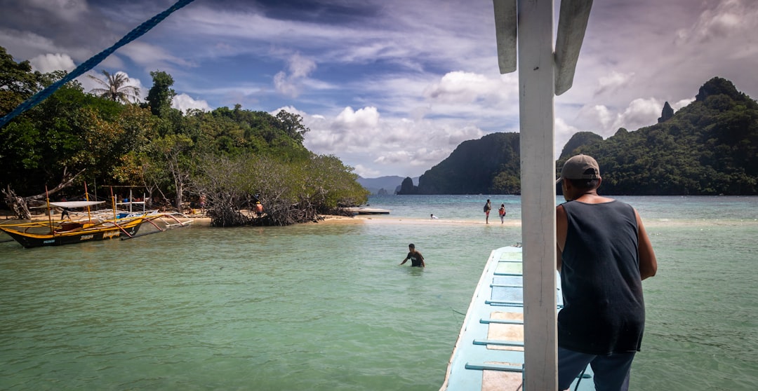
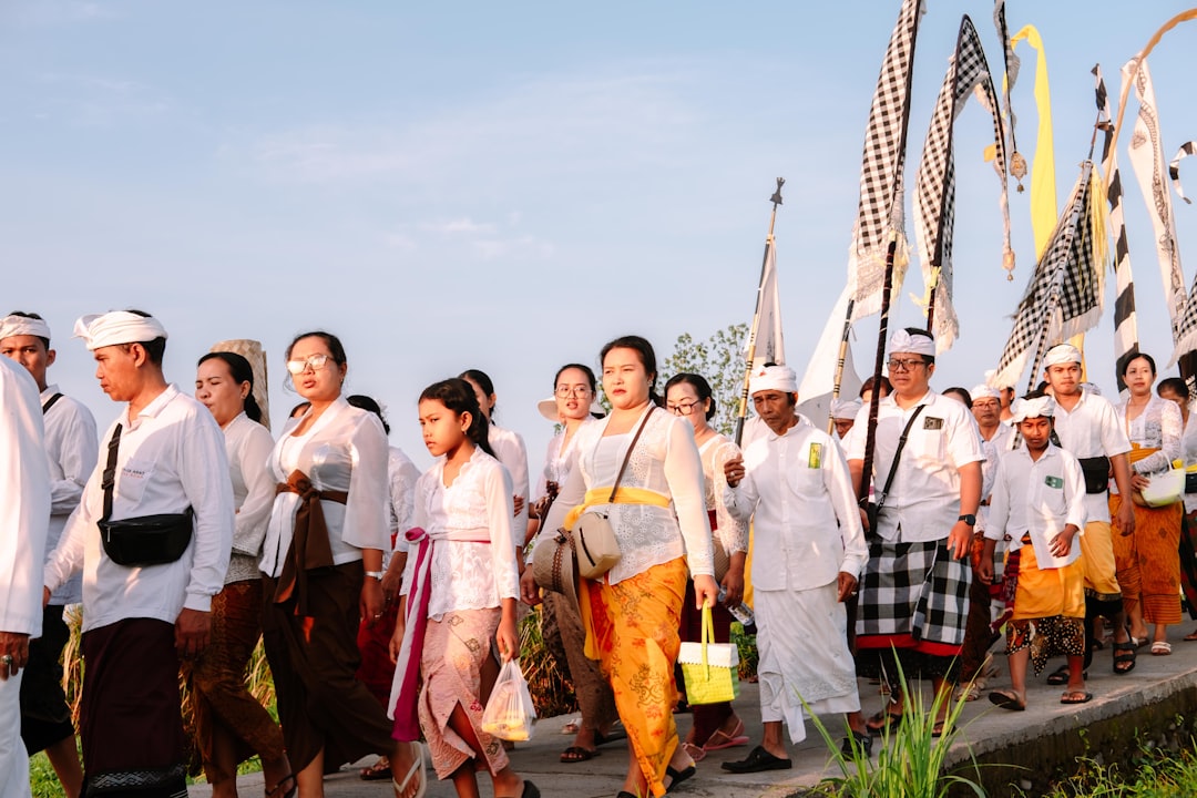
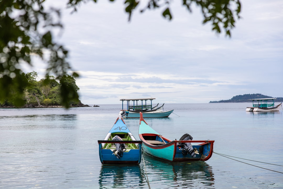
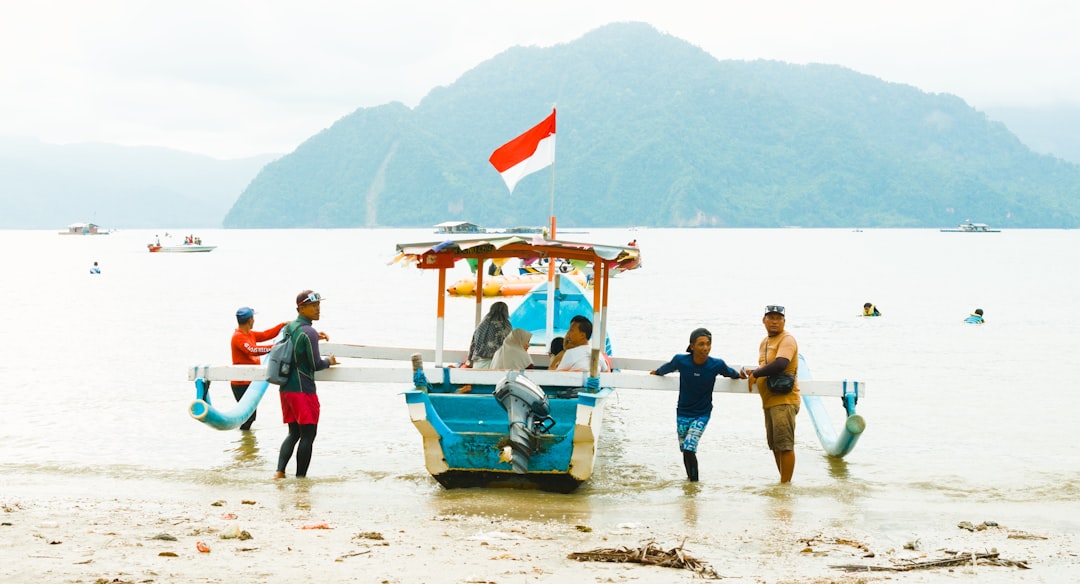
Raja Ampat sits at the far northwestern tip of West Papua, where more than 1,500 small islands scatter across the Cenderawasih Sea like a handful of thrown stones. The numbers here are the kind that stop you: marine biologists have recorded more reef fish species in these waters than anywhere else on the planet. Above the waterline, the islands stack up in limestone karst formations draped in jungle, and at Sawinggrai village on Waigeo you can sit in the dark before dawn and wait for birds-of-paradise to arrive at their feeding trees.
The main gateway is Waisai, a small town on Waigeo Island reached by a two-hour public ferry from Sorong. From Waisai, almost everything else requires a boat charter — and that reality shapes the rhythm of any visit here. You move slowly, island to island, and you plan around the water.
💛 What travellers fall for
People who come back tend to do it for a specific dive site or a specific season. October is the sweet spot that comes up repeatedly — dry weather arriving, mantas returning to the cleaning stations, and fewer boats than the peak months. Wayag is the landmark everyone photographs, but the crossing costs significantly more than a day around Gam or Kri.
How Raja Ampat came to be
People have been moving through these islands for over 50,000 years — Mololo Cave on Misool preserves evidence of early inhabitants processing tree resins and hunting native animals. Austronesian-speaking pottery-makers arrived roughly 3,000 to 3,500 years ago. Islam reached the archipelago in the 15th century through trade ties with the Bacan Sultanate, and for the next four centuries the Tidore Sultanate held political sway, appointing local governors — raja — to oversee the four principal islands of Waigeo, Salawati, Batanta and Misool. The name Raja Ampat, meaning 'four kings', carries that history in it.
The Portuguese navigator Jorge de Menezes became the first documented European to see the islands in 1526. Dutch colonial authority followed and lasted until 1962, when the territory passed to Indonesia after protracted UN negotiations. Raja Ampat was formally constituted as its own regency on 12 April 2003, separated from Sorong Regency under Indonesian law.
Who and what shaped it
People who shaped it
Landmark buildings
See Raja Ampat in motion
Plan your visit
On the map
When to go
The dry season runs roughly October to April, with the southeast monsoon bringing the heaviest sustained rainfall between May and September — June and July are historically the wettest months. Temperatures barely shift year-round, hovering around 31°C by day, but the humidity sits at around 83%, so it tends to feel warmer than the thermometer suggests. Microclimates are real here: you can have sun over Gam while rain falls on Waigeo a few kilometres away.
Right now
Background & history adapted from Wikipedia (CC BY-SA) · specs from Wikidata (CC0) · weather from Open-Meteo · map data © OpenStreetMap contributors · photos from Wikimedia Commons / Unsplash with per-image credit. No third-party reviews or social posts reproduced.