
Rach Gia Ferry Terminal Area (An Thoi Port)


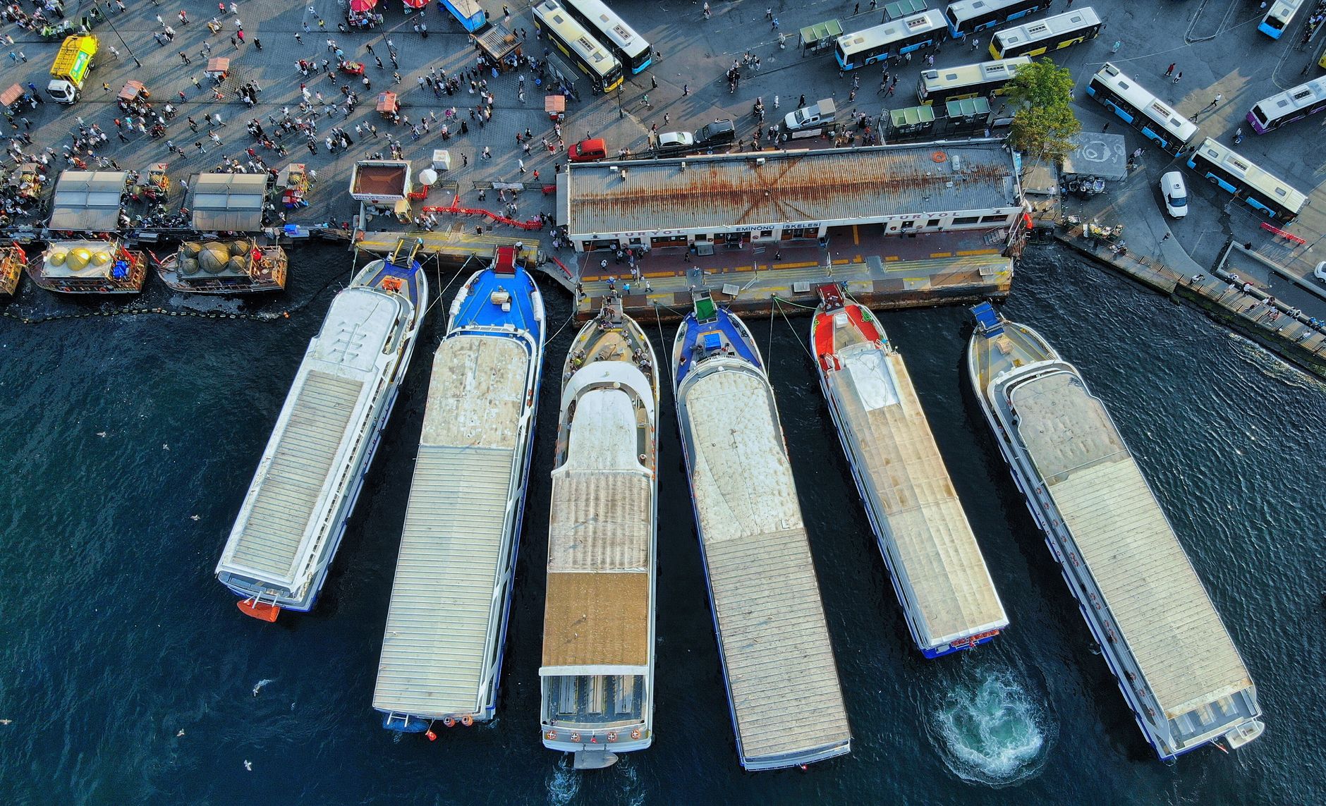


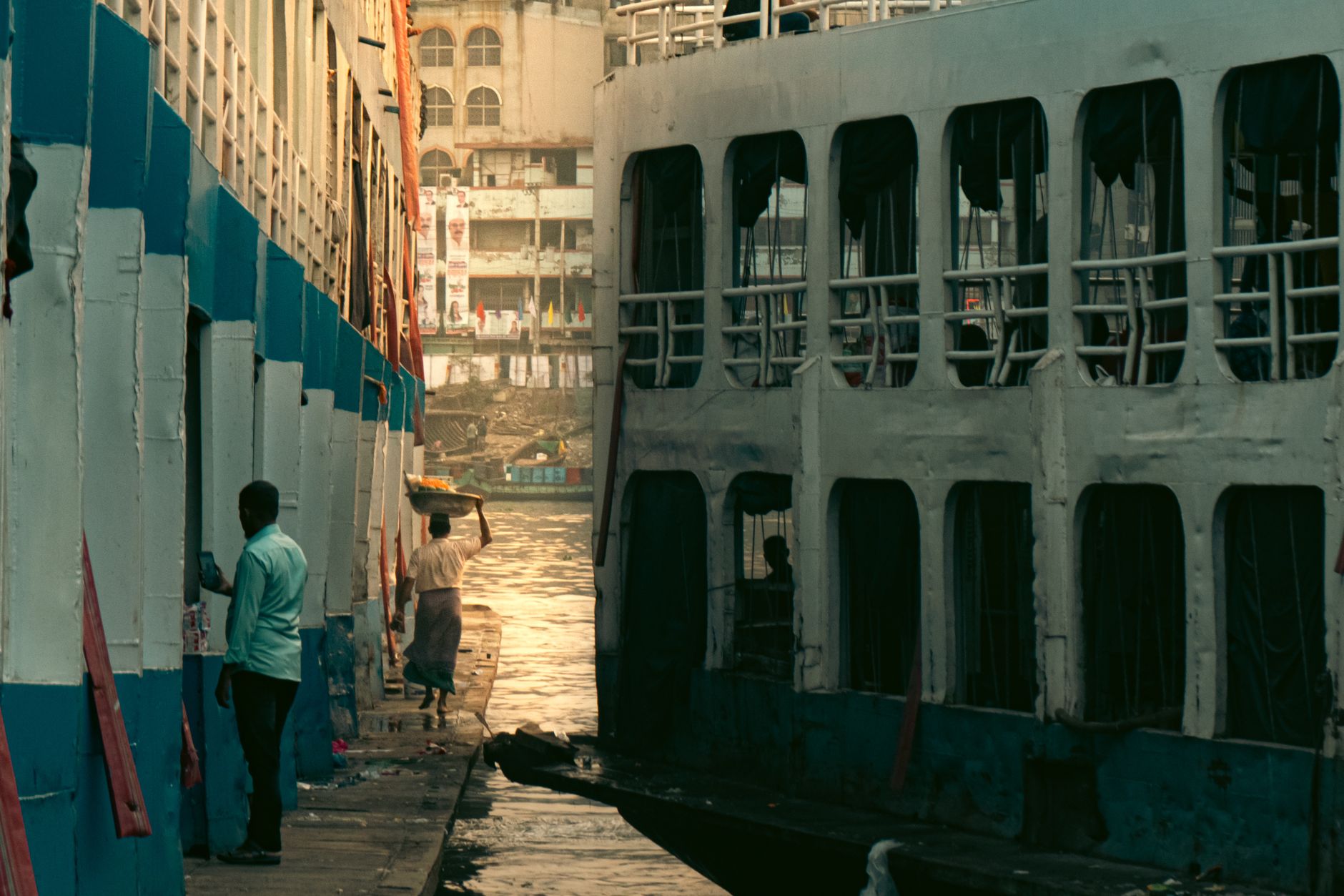
The Rach Gia ferry terminal sits where the Kien River meets the Gulf of Thailand, and on most mornings the dock smells of salt, diesel, and something faintly sweet carried in from the market stalls nearby. This is the mainland departure point for Phu Quoc and a scattering of smaller islands — Nam Du, Hon Son, Tho Chu — and the city behind it has its own story worth a few hours of your time.
Rach Gia began as a swamp trading post known for honey and beeswax, drained and rebuilt into a rice-export hub under French rule, and upgraded to a provincial city in 2005. It carries that layered past lightly: a Khmer pagoda from the fifteenth century, a colonial-era mansion turned museum, a temple to a resistance fighter executed here in 1868.
💛 What travellers fall for
People who pass through more than once tend to arrive the evening before their ferry, eat at a riverside spot near the terminal, and walk to the Nguyen Trung Truc Temple before the morning crowds. The An Giang Museum — the old landlord's mansion — rewards anyone with an hour to spare before a 7:10 departure.
Deals in Rach Gia Ferry Terminal Area (An Thoi Port)
Book directly at the provider
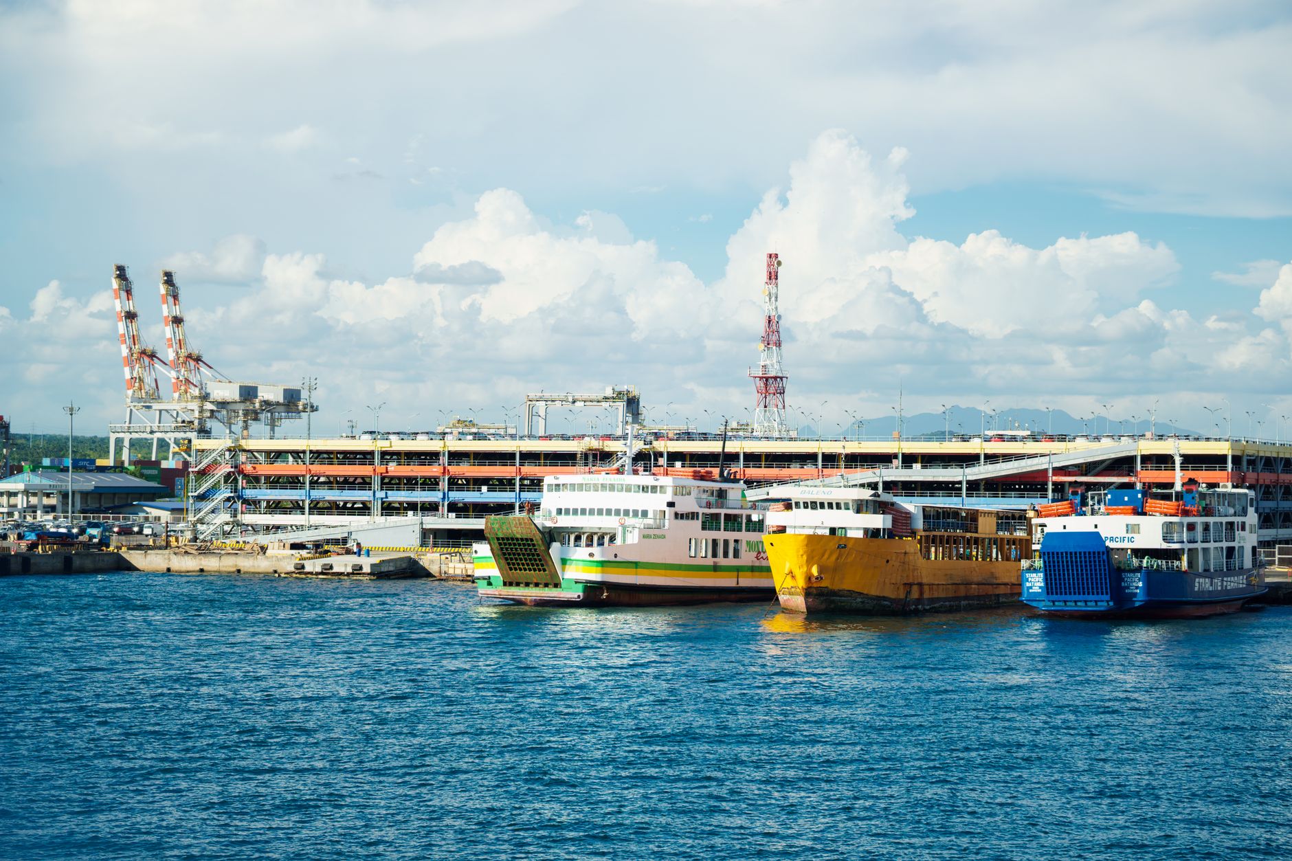
How Rach Gia Ferry Terminal Area (An Thoi Port) came to be
In 1715, what is now Rach Gia was a flat, forest-covered swamp under the protection of the Nguyen rulers of Hue — its older Cambodian name, Kramuon-Sa, still surfaces in local conversation. It grew into a trading post for honey, beeswax, and exotic bird feathers before the swamps were drained and the economy pivoted to rice processing and straw-mat weaving.
The French made it a provincial administrative centre, modernised the port, and left behind the architectural mix you can still read in the An Giang Museum — a landlord's mansion of more than a century old, blending Eastern and Western forms across roughly 2,000 square metres. The Rach Gia–Phu Quoc high-speed ferry route opened on 24 June 2018, turning the port into the busy island gateway it is today.
Who and what shaped it
People who shaped it
Landmark buildings
See Rach Gia Ferry Terminal Area (An Thoi Port) in motion
Plan your visit
On the map
When to go
Rach Gia has a tropical monsoon climate: the dry season runs roughly November to April, when seas are calmer and crossings smoother — the preferred window for ferry travel. The wet season, May to October, brings heavy afternoon rain and occasionally rough conditions on the Gulf of Thailand.
Right now
Background & history adapted from Wikipedia (CC BY-SA) · specs from Wikidata (CC0) · weather from Open-Meteo · map data © OpenStreetMap contributors · photos from Wikimedia Commons / Unsplash with per-image credit. No third-party reviews or social posts reproduced.