
Raa Atoll
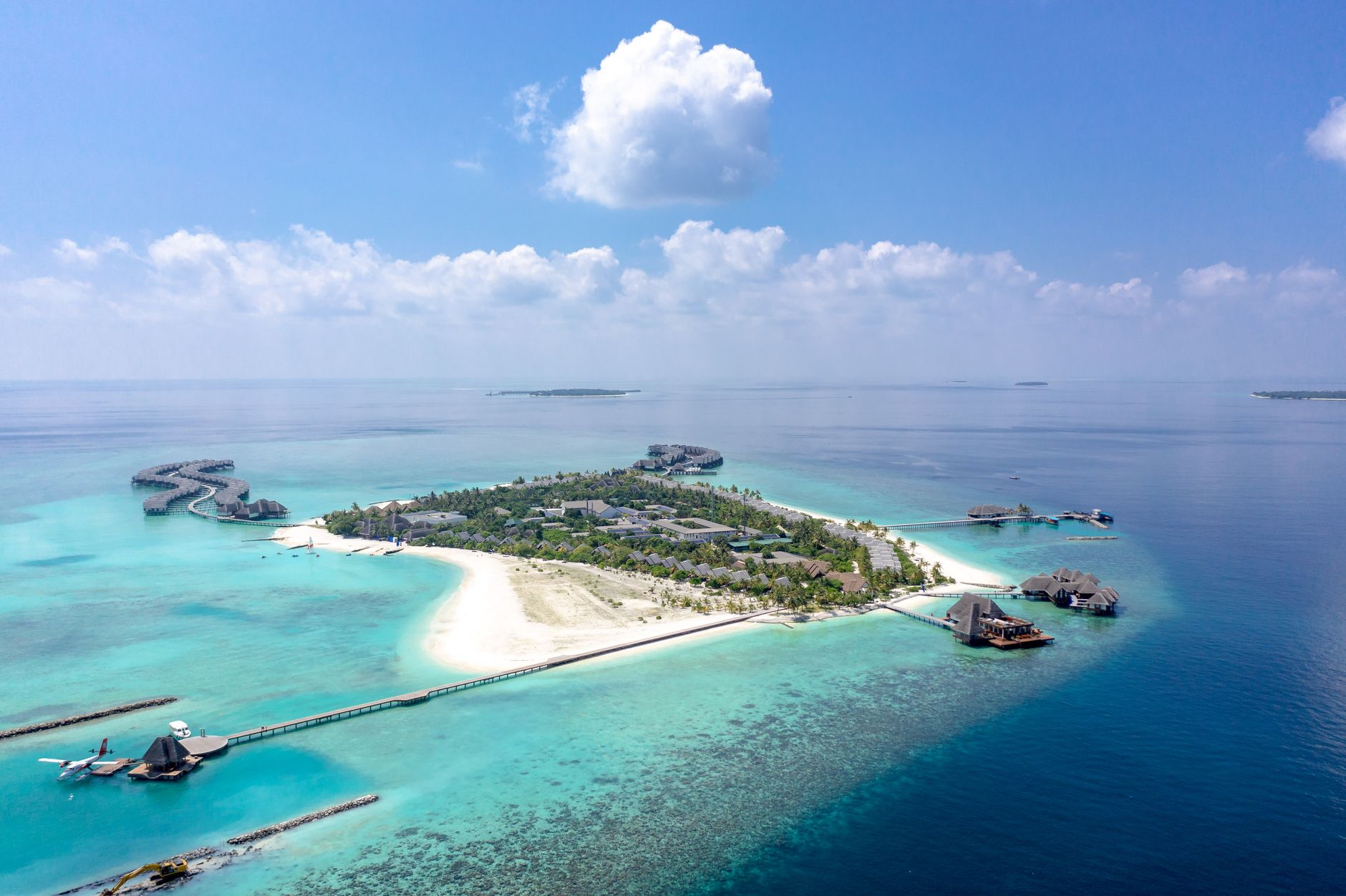
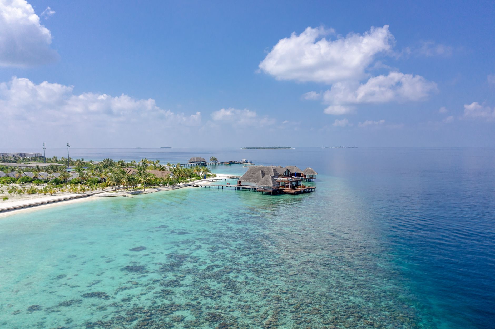
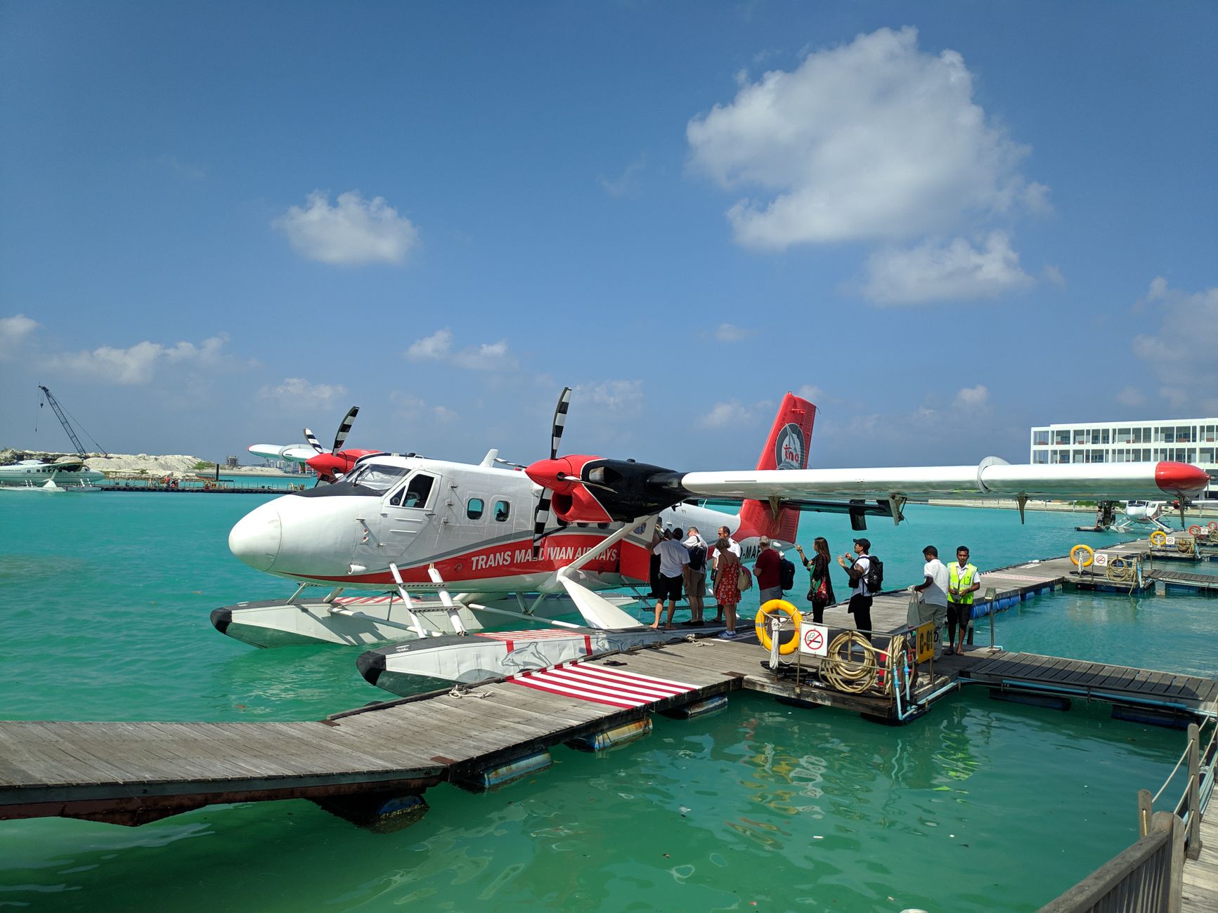
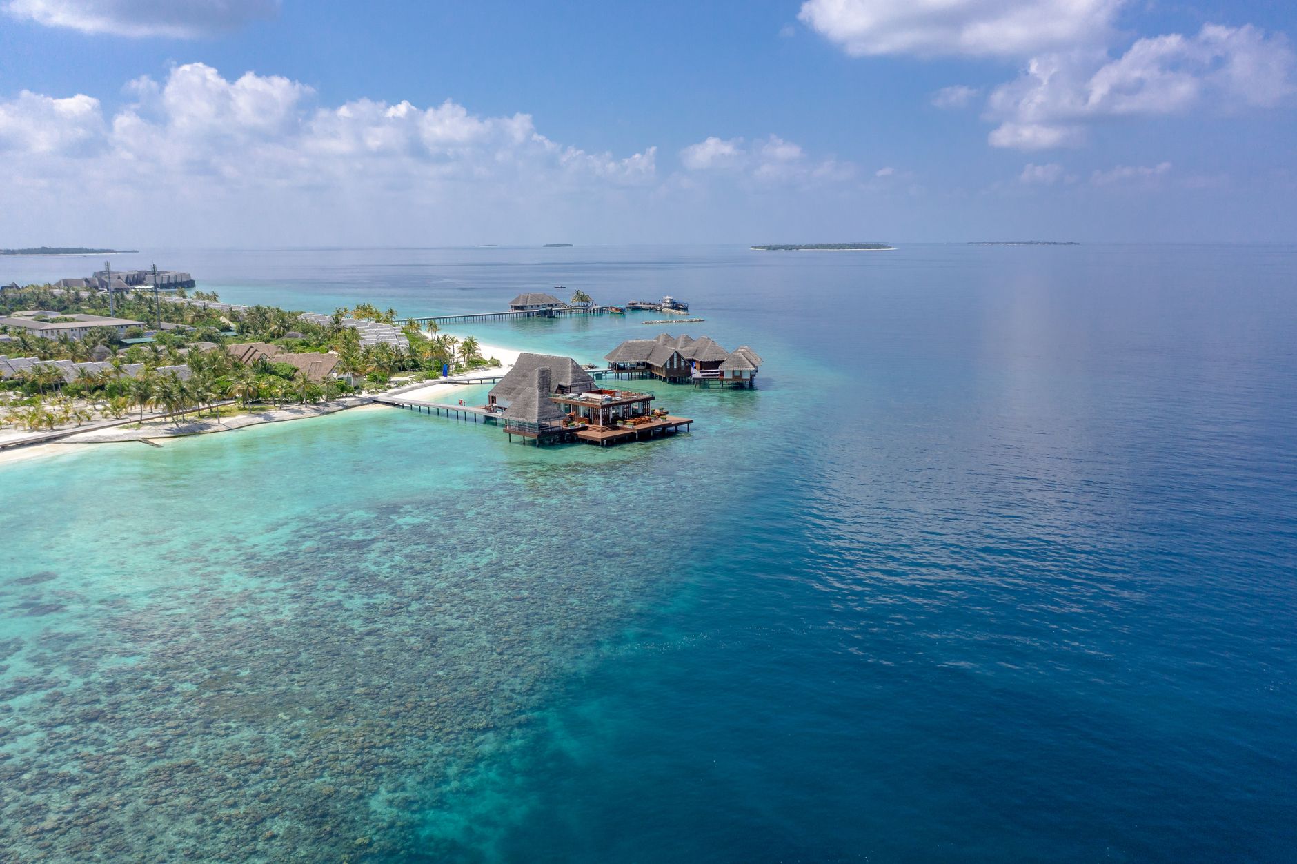
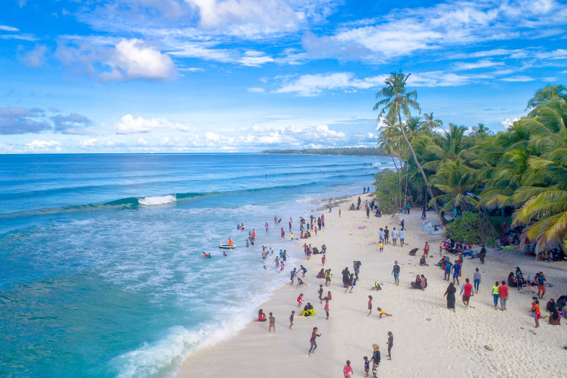
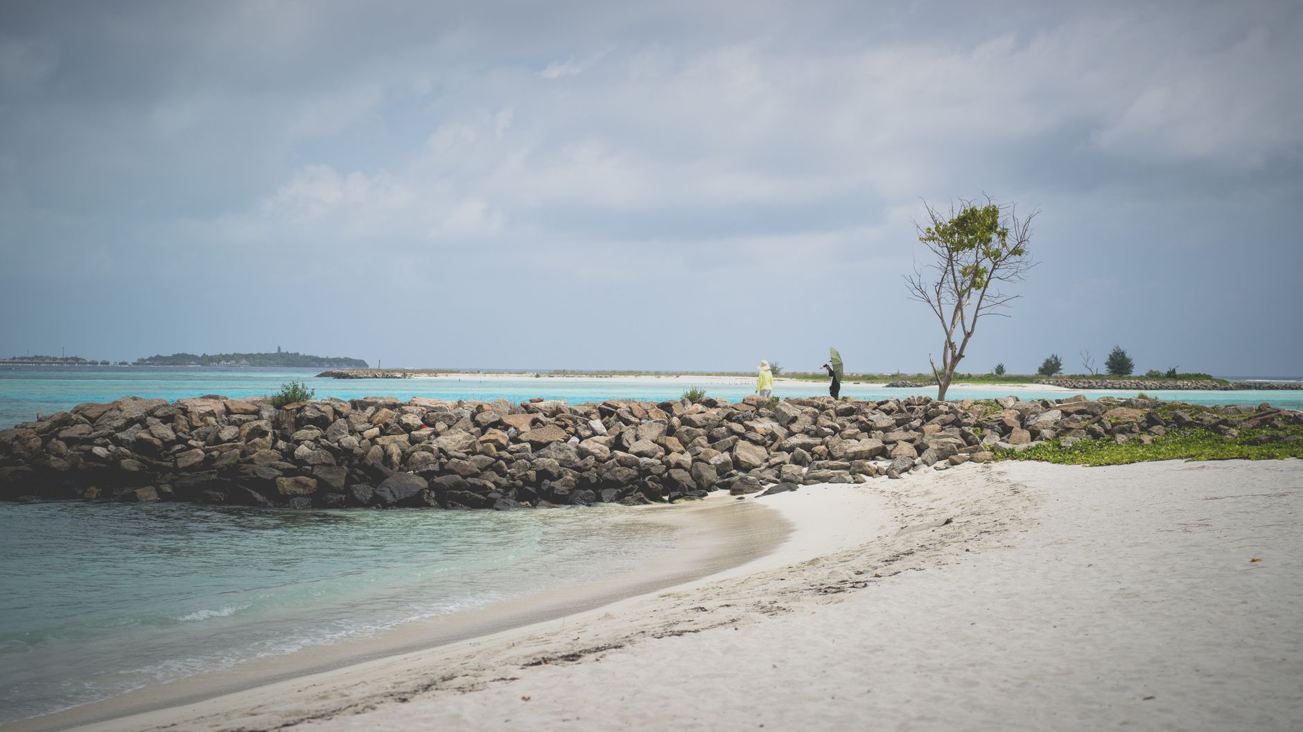
Raa Atoll sits at the northern reach of the Maldives, a scatter of 88 islands across open ocean, and it holds something the more resort-saturated atolls have largely traded away: a working Maldivian life running alongside the tourism. On Alifushi, carpenters still shape dhonis — the traditional wooden boats — in shipyards that have been producing them for generations. On Kinolhas, coir rope gets twisted by hand the way it always has. Hanifaru Bay, a UNESCO Biosphere Reserve, draws manta rays in numbers that make even experienced divers go quiet.
This is the atoll with the highest count of populated islands in the Maldives, which means the gap between a luxury water-villa and a coral-stone Friday mosque can be a short speedboat ride.
How Raa Atoll came to be
Ibn Battuta passed through Kinolhas in the 14th century and noted forty mosques on a single island — a detail that says something about how seriously this part of the ocean took its faith and its civic life. Robert Moresby, the British captain who charted the Maldives in the 19th century, left his name on the channel that runs through here. The atoll's inhabited island count has shifted over the decades: by 1968 it stood at seventeen, after the residents of Ufulandhoo were relocated first to Alifushi and then to Maduvvari.
The 2004 Indian Ocean tsunami reshaped Raa more than most: Kandholhudhoo was destroyed and its population dispersed to Dhuvaafaru and other islands. Tourism, banned here until 1990, came slowly and then with considerable investment — the first domestic airport, at Ifuru, opened in 2015.
Who and what shaped it
People who shaped it
Landmark buildings
See Raa Atoll in motion
Plan your visit
On the map
When to go
January and February are the driest months, with temperatures around 30–31°C and sea temperatures in the high twenties — the water feels like it's been left in the sun. The southwest monsoon brings heavier rain from May through October, with May the wettest month, though the skies clear between showers and the manta rays don't mind either way.
Right now
Background & history adapted from Wikipedia (CC BY-SA) · specs from Wikidata (CC0) · weather from Open-Meteo · map data © OpenStreetMap contributors · photos from Wikimedia Commons / Unsplash with per-image credit. No third-party reviews or social posts reproduced.