
Québec City, Québec
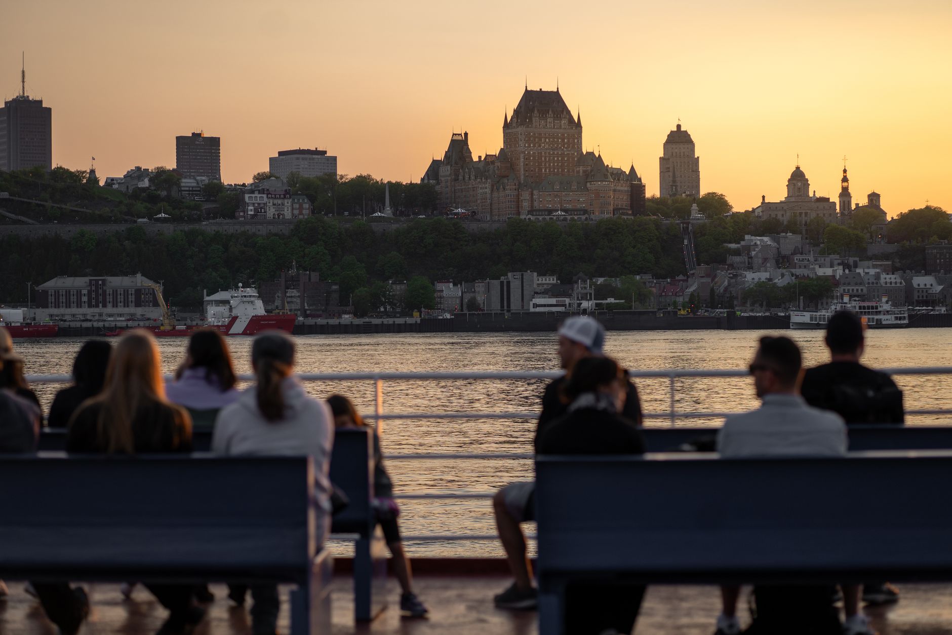
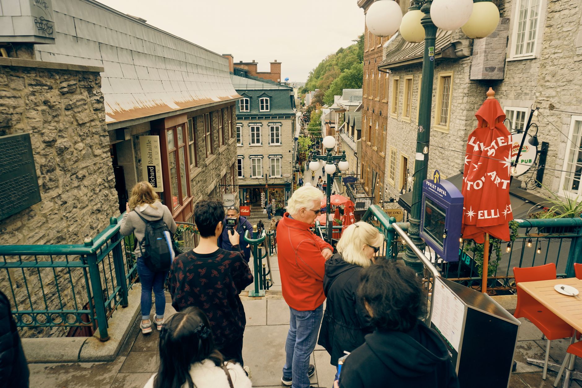
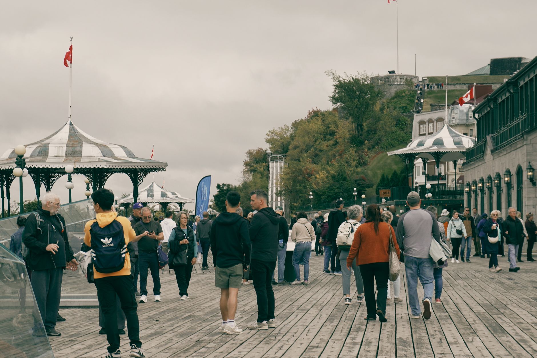
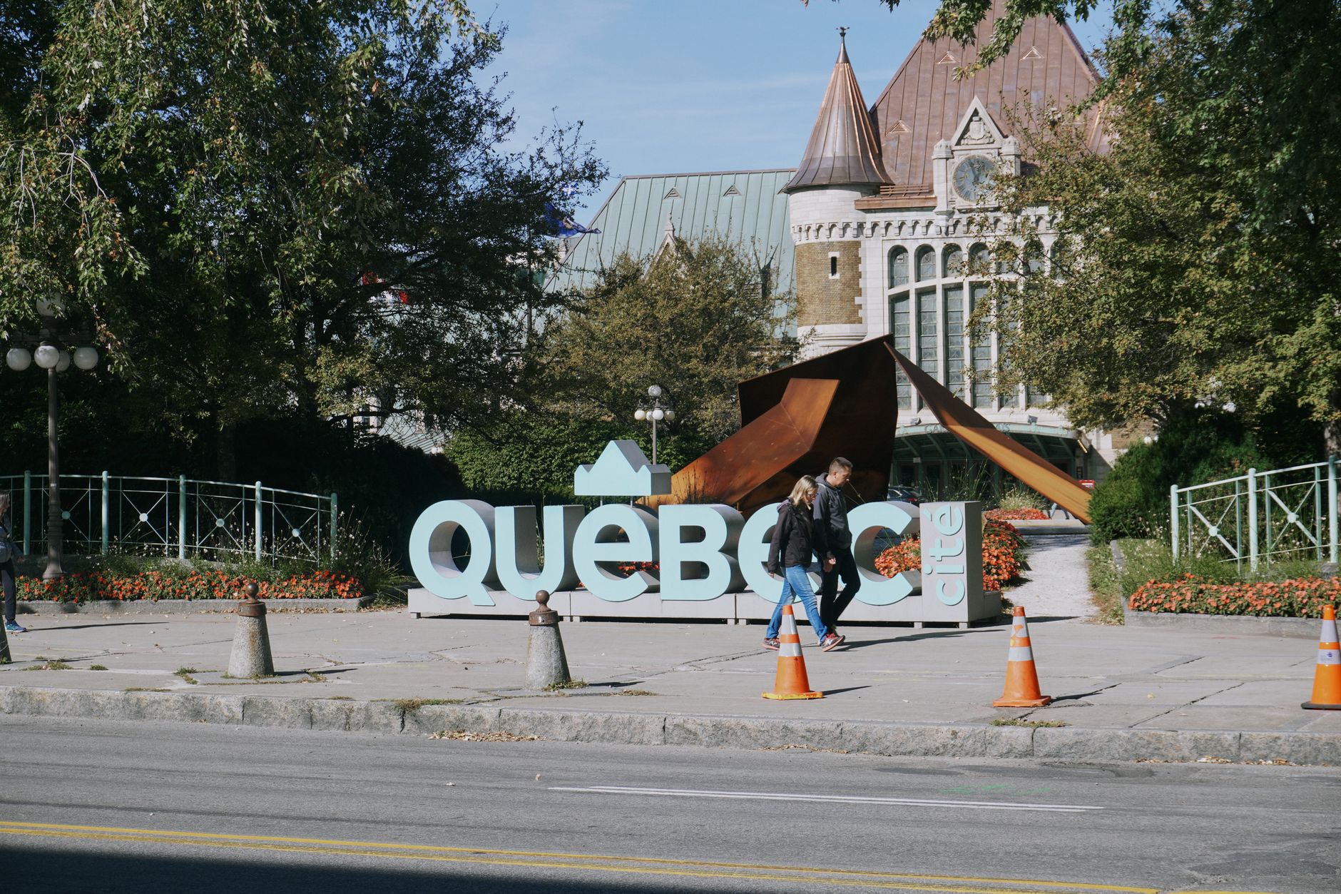
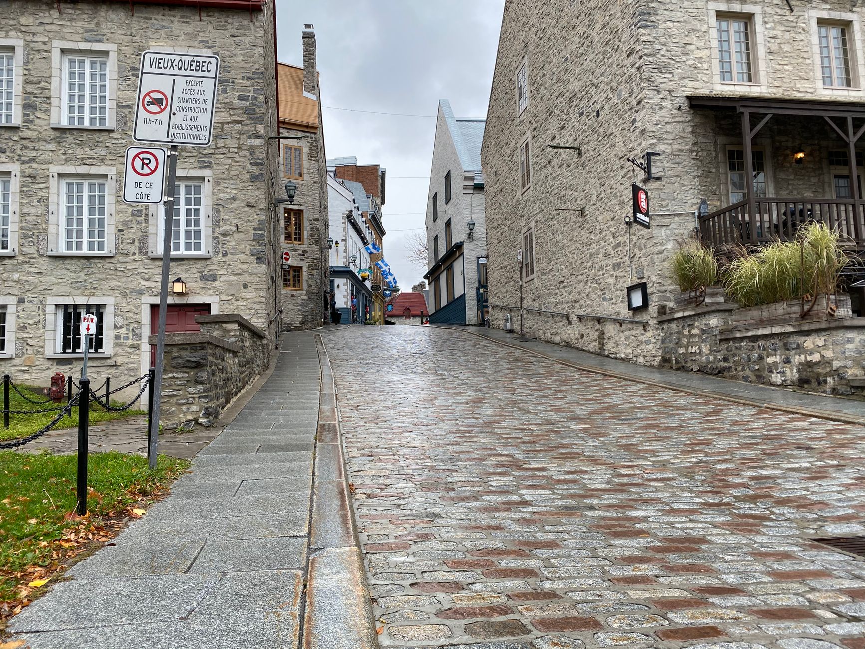
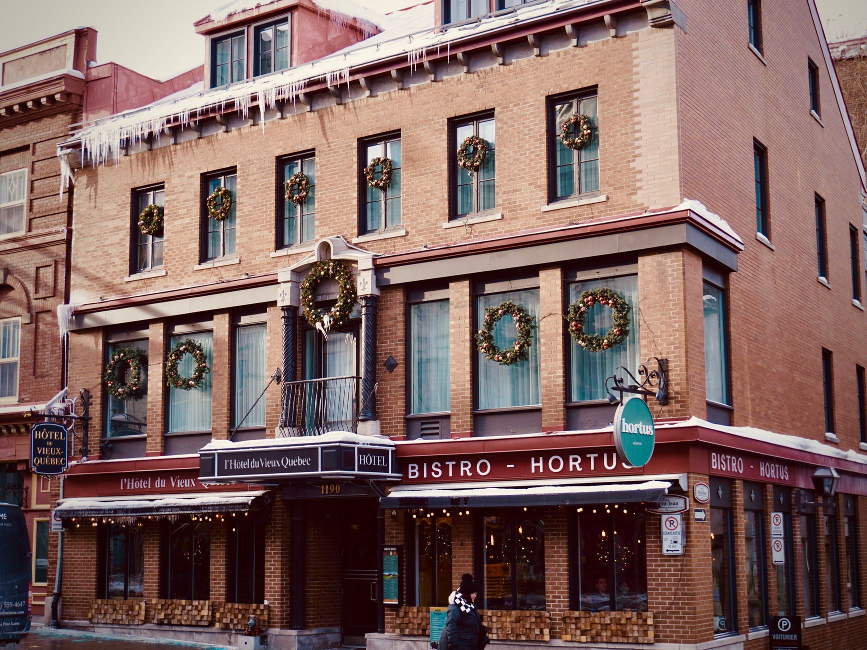
Québec City is the only walled city in the Americas north of Mexico, and that fact reshapes how you move through it. The stone ramparts of Vieux-Québec ring an Upper Town of steep lanes, copper-roofed churches, and the turreted silhouette of Château Frontenac rising above the St. Lawrence. Below, via funicular or a long staircase, Lower Town opens onto Place Royale — a cobbled square where Samuel de Champlain first planted a settlement in 1608.
This is a city that wears its French inheritance without performing it. The language is Québécois French, the cooking leans toward hearty, and the winters are serious enough to have shaped the architecture, the calendar, and the character of the people who stay.
How Québec City, Québec came to be
Jacques Cartier sailed into the Gulf of St. Lawrence in 1534 and made his way upriver to an Iroquoian village called Stadacona — the ground Québec City now occupies. Permanent European settlement came later, on 3 July 1608, when Samuel de Champlain and Pierre Dugua de Mons established a trading post at Cape Diamant. Champlain's first winter was brutal: 20 of the original 28 settlers died. The city that grew from that precarious start became the seat of New France after Louis XIV's royal takeover in 1663.
The British took the city in 1759 on the Plains of Abraham, a battle that pivoted the future of the continent. The fortifications that remain — the Citadelle, the ramparts, the star-shaped walls — are largely British-era construction layered over French foundations, which is an apt metaphor for everything that followed.
Who and what shaped it
People who shaped it
Landmark buildings
See Québec City, Québec in motion
Plan your visit
On the map
When to go
Summers run warm and clear, with long evenings well-suited to walking the ramparts. Winters are cold and snowy in earnest — temperatures regularly drop below -15°C — but the city leans into it: the Dufferin Terrace toboggan slide runs through February. Spring and autumn offer crisp air and thinner crowds.
Right now
Background & history adapted from Wikipedia (CC BY-SA) · specs from Wikidata (CC0) · weather from Open-Meteo · map data © OpenStreetMap contributors · photos from Wikimedia Commons / Unsplash with per-image credit. No third-party reviews or social posts reproduced.