
Québec City
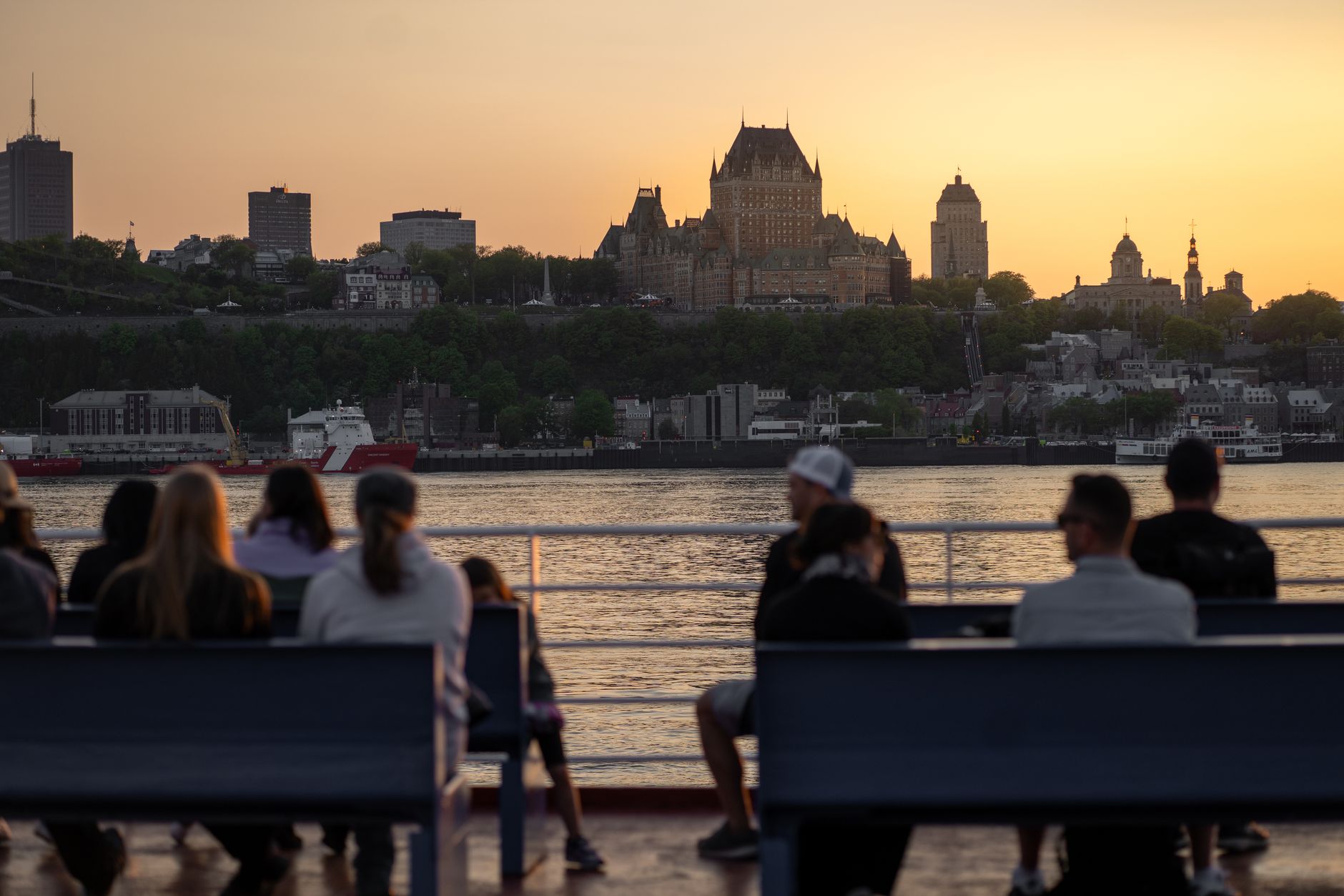
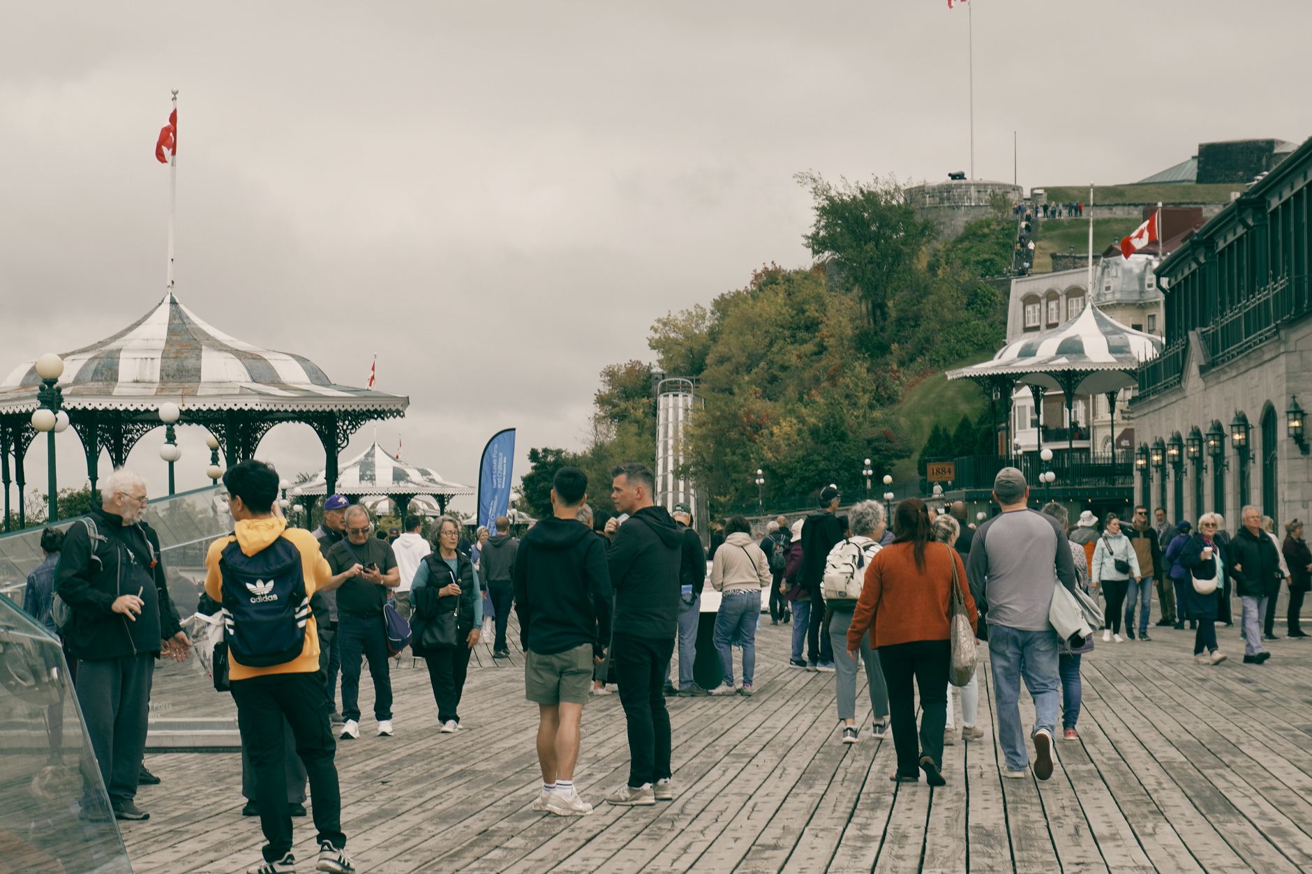
Stand on the ramparts of Old Québec and you are standing on the only fortified city walls left in the Americas north of Mexico — 4.6 kilometres of stone that have outlasted five sieges, two empires and four centuries of hard winters. Below, the St. Lawrence moves wide and grey-green toward the sea.
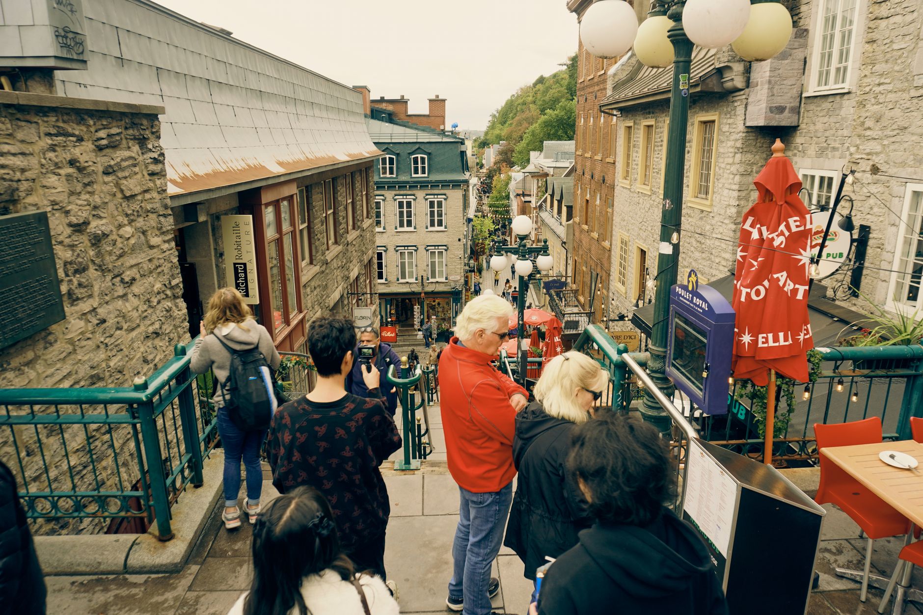
This is a city of two levels, literally and historically. Upper Town sits atop Cap Diamant behind its walls, anchored by the Château Frontenac and the Citadelle. Lower Town grew up around Place Royale and the old harbour, where Samuel de Champlain built his first habitation in 1608. The whole of it — about 135 hectares — has been a UNESCO World Heritage Site since 1985.
How Québec City came to be
On 3 July 1608, Samuel de Champlain and Pierre Dugua de Mons established a permanent trading post at the base of Cap Diamant. That first winter stripped the settlement: 20 of the original 28 settlers died. Champlain stayed on as administrator for the rest of his life, and in 1663 Louis XIV made Québec the capital of New France, his royal province in the Americas.
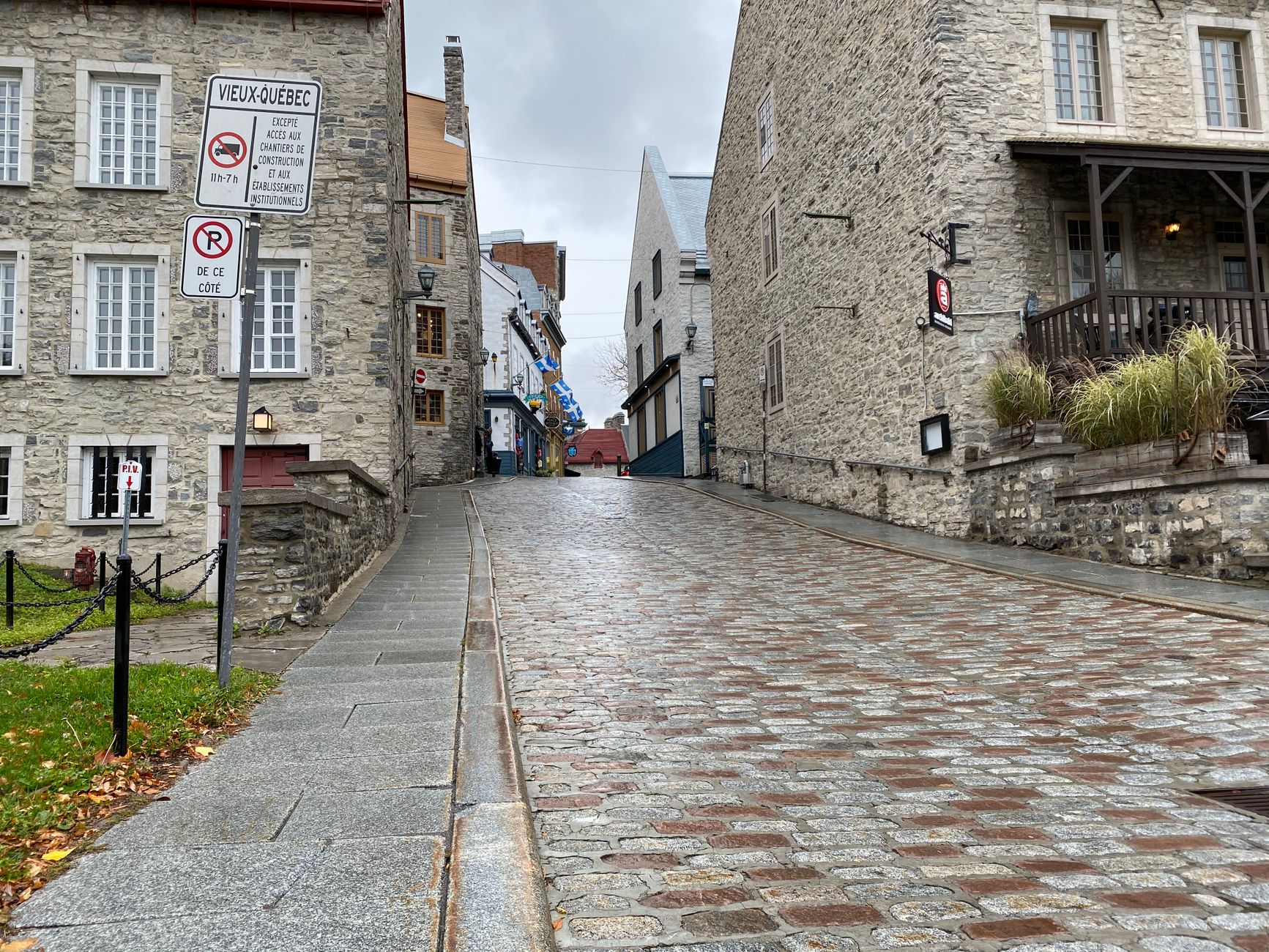
A fire in 1682 destroyed Place Royale's wooden buildings; authorities ordered stone reconstruction with shared walls rising above rooflines — you can still read that logic in the streetscape today. The British took the city in 1759, and the decades that followed left their own mark: the Anglican Cathedral of the Holy Trinity (1800–1804), the Citadelle (walls built 1820–1831), and the Morrin Centre, which began life as the city's first prison in 1808.
Who and what shaped it
People who shaped it
Landmark buildings
See Québec City in motion
Plan your visit
On the map
When to go
Winters are long and genuinely cold, with heavy snowfall from December through March — the city leans into it rather than apologising for it. Summers are warm and relatively short, with the most comfortable temperatures running from late June through August; spring and autumn are crisp and quieter.
Right now
Background & history adapted from Wikipedia (CC BY-SA) · specs from Wikidata (CC0) · weather from Open-Meteo · map data © OpenStreetMap contributors · photos from Wikimedia Commons / Unsplash with per-image credit. No third-party reviews or social posts reproduced.