
Putrajaya
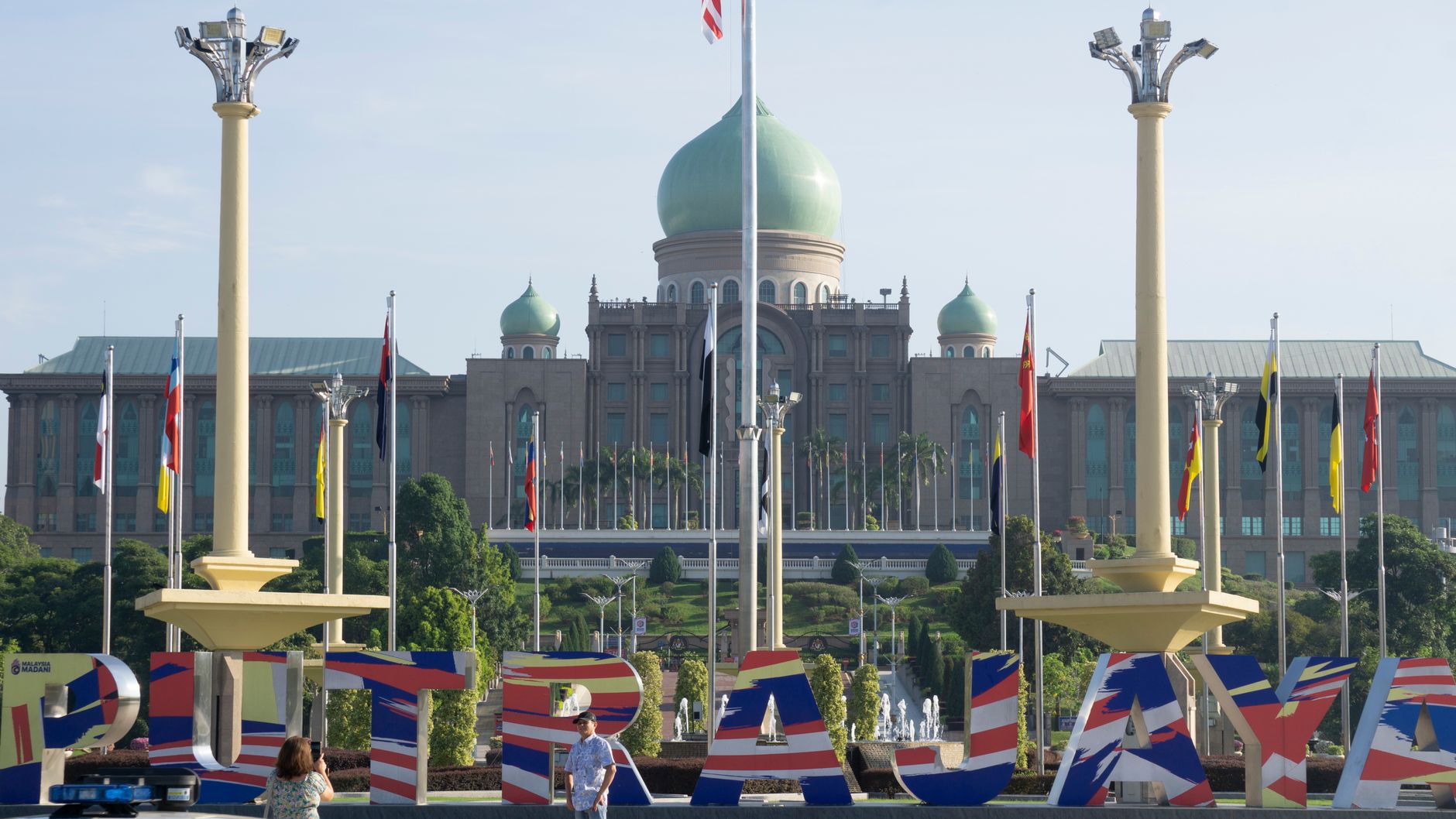
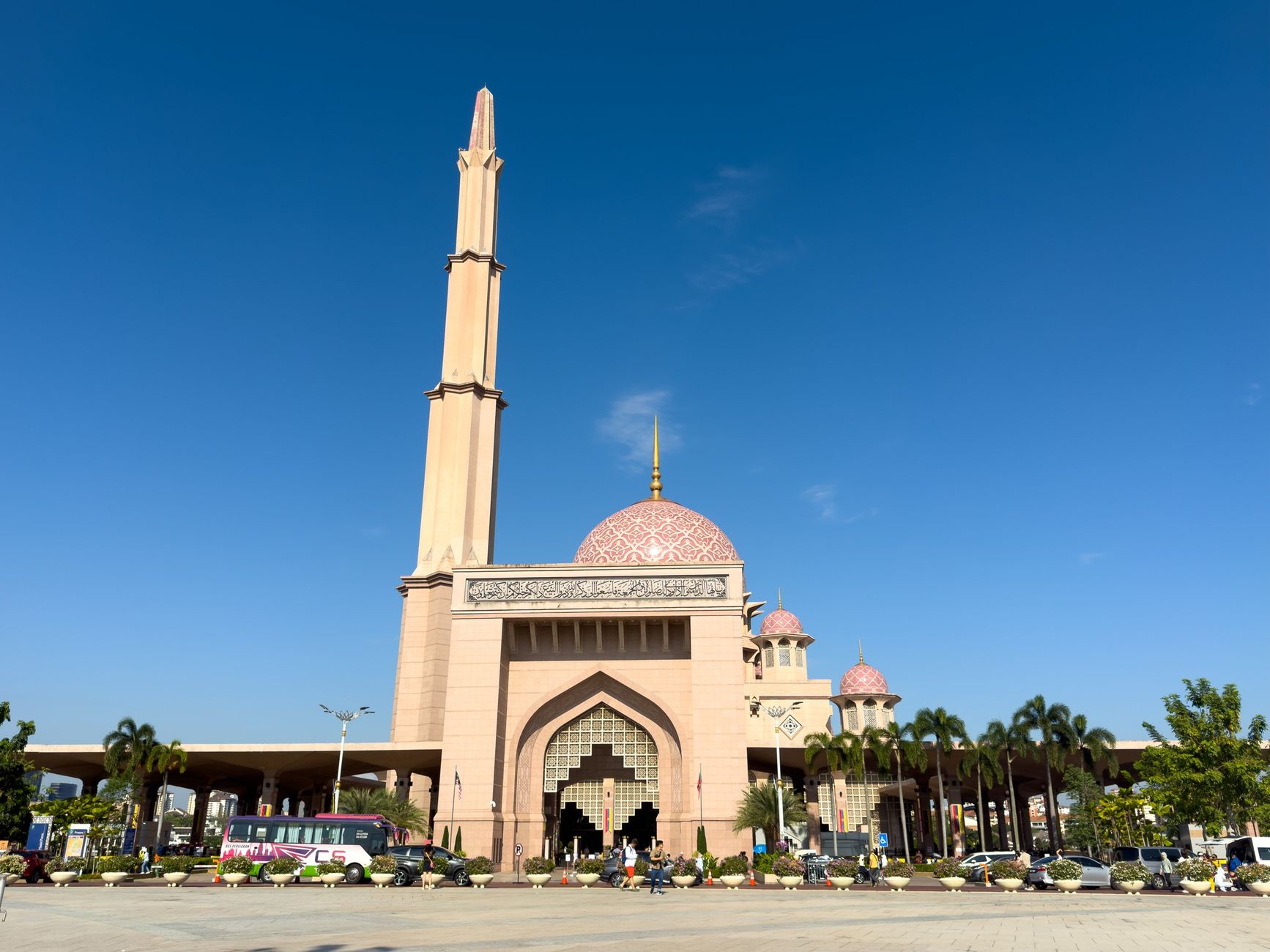
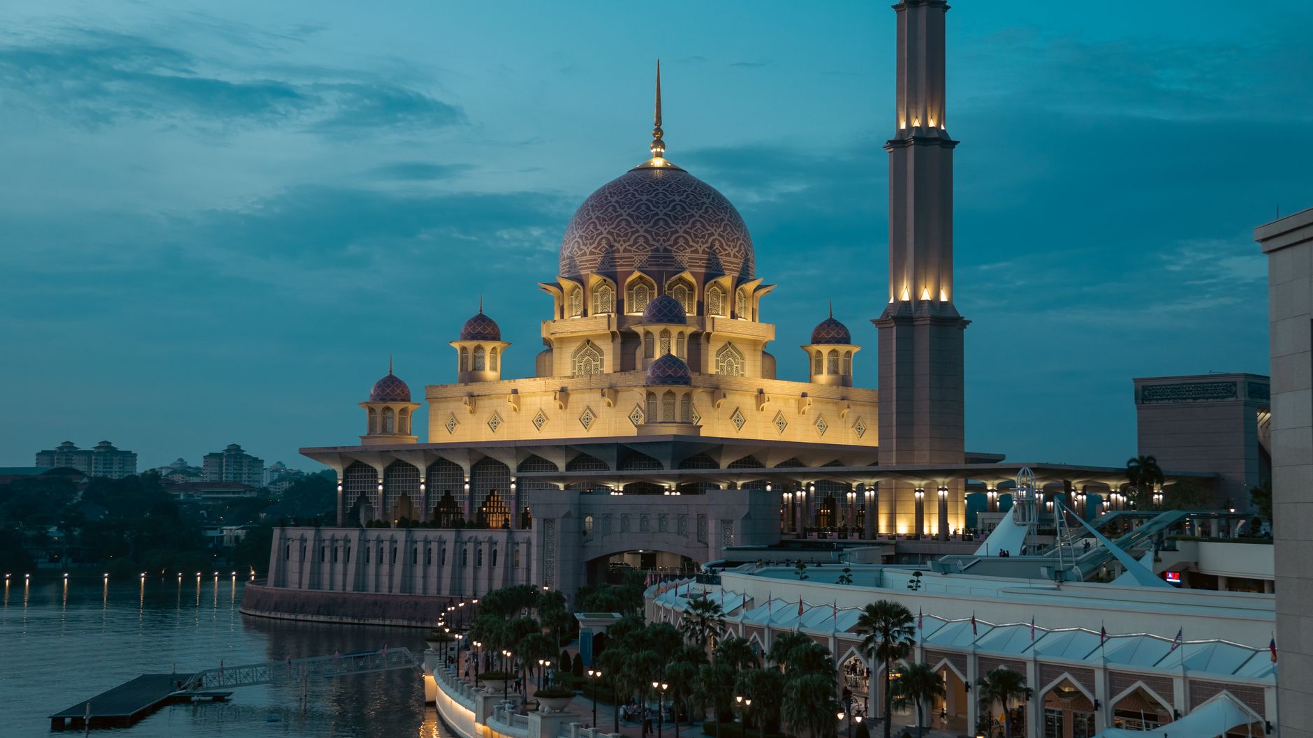
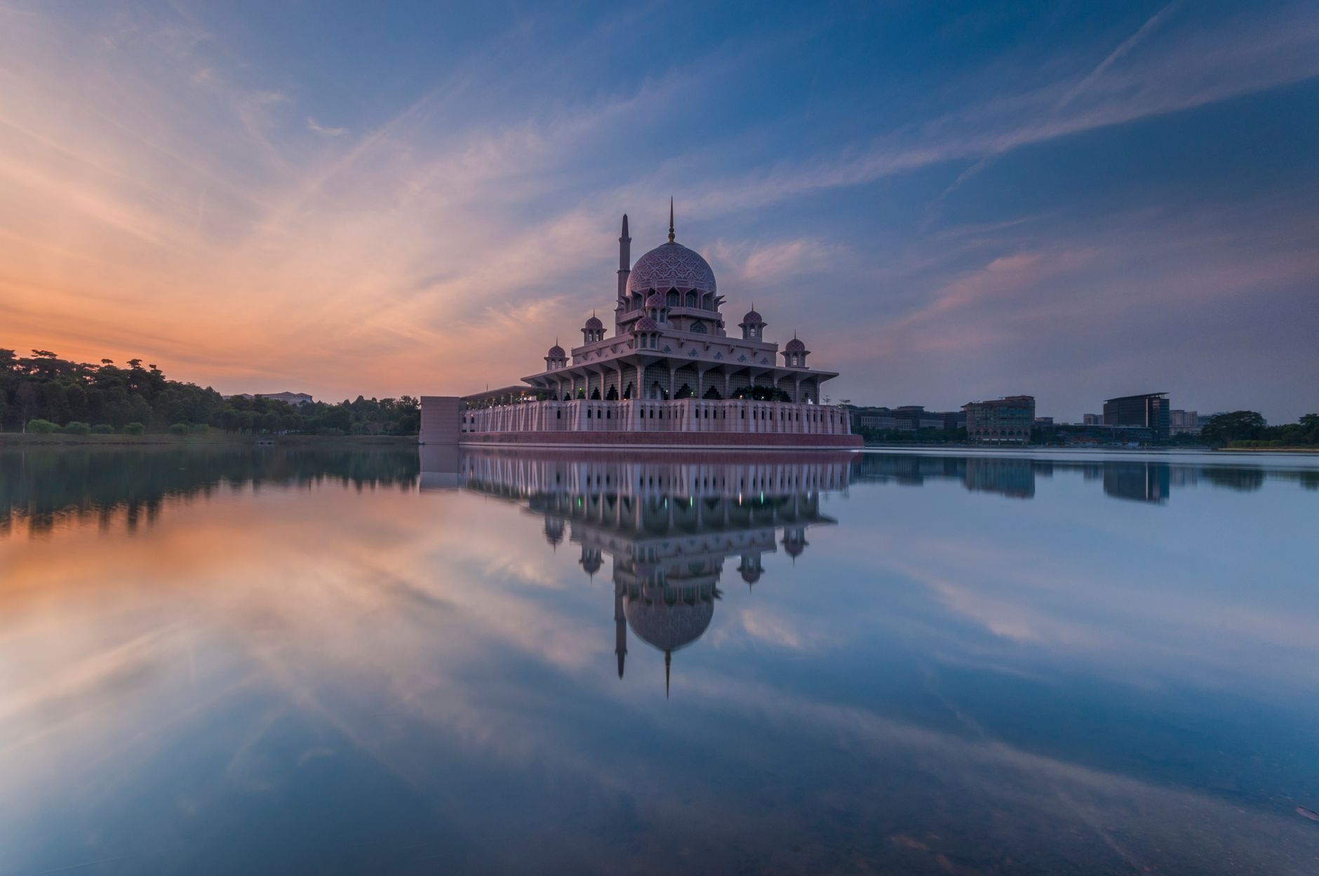
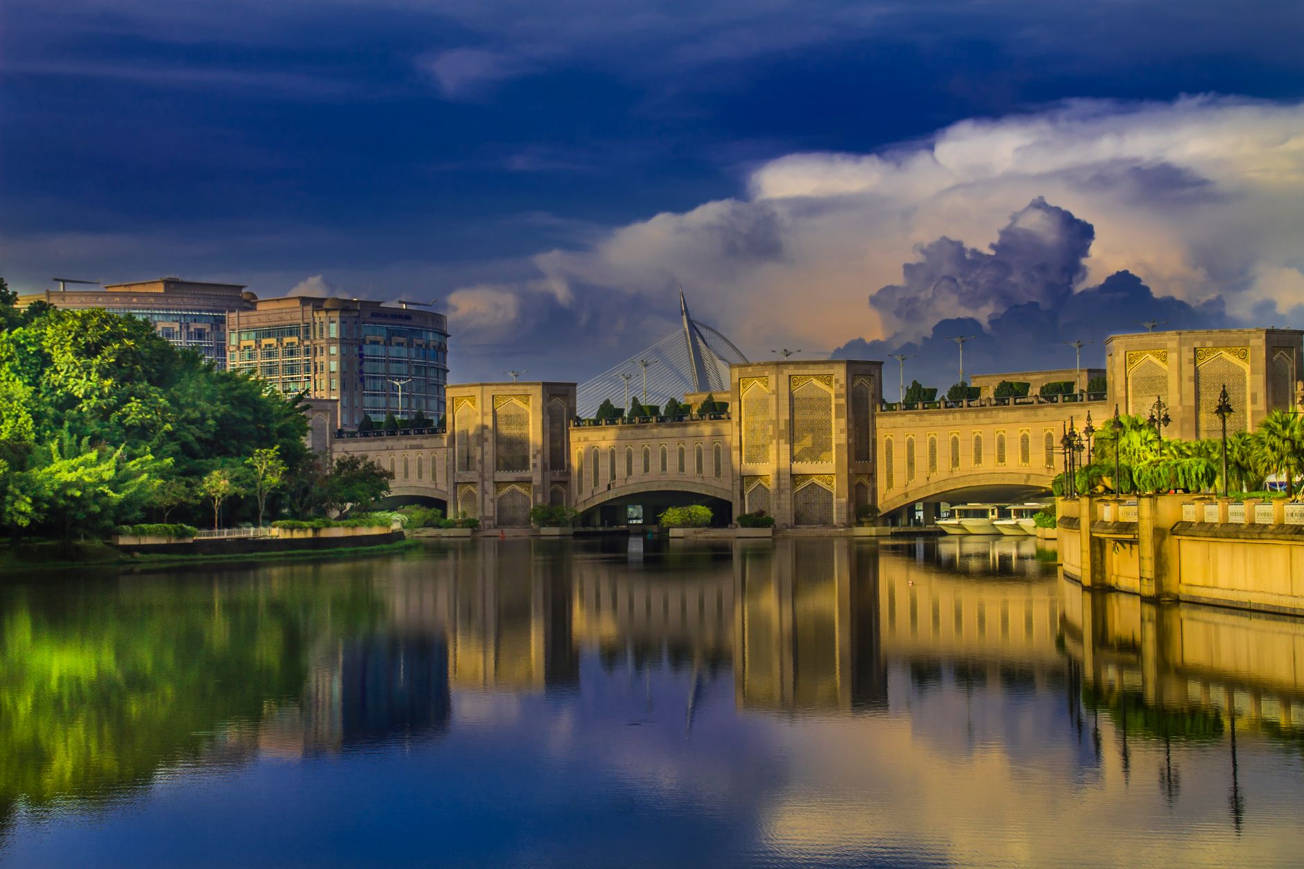
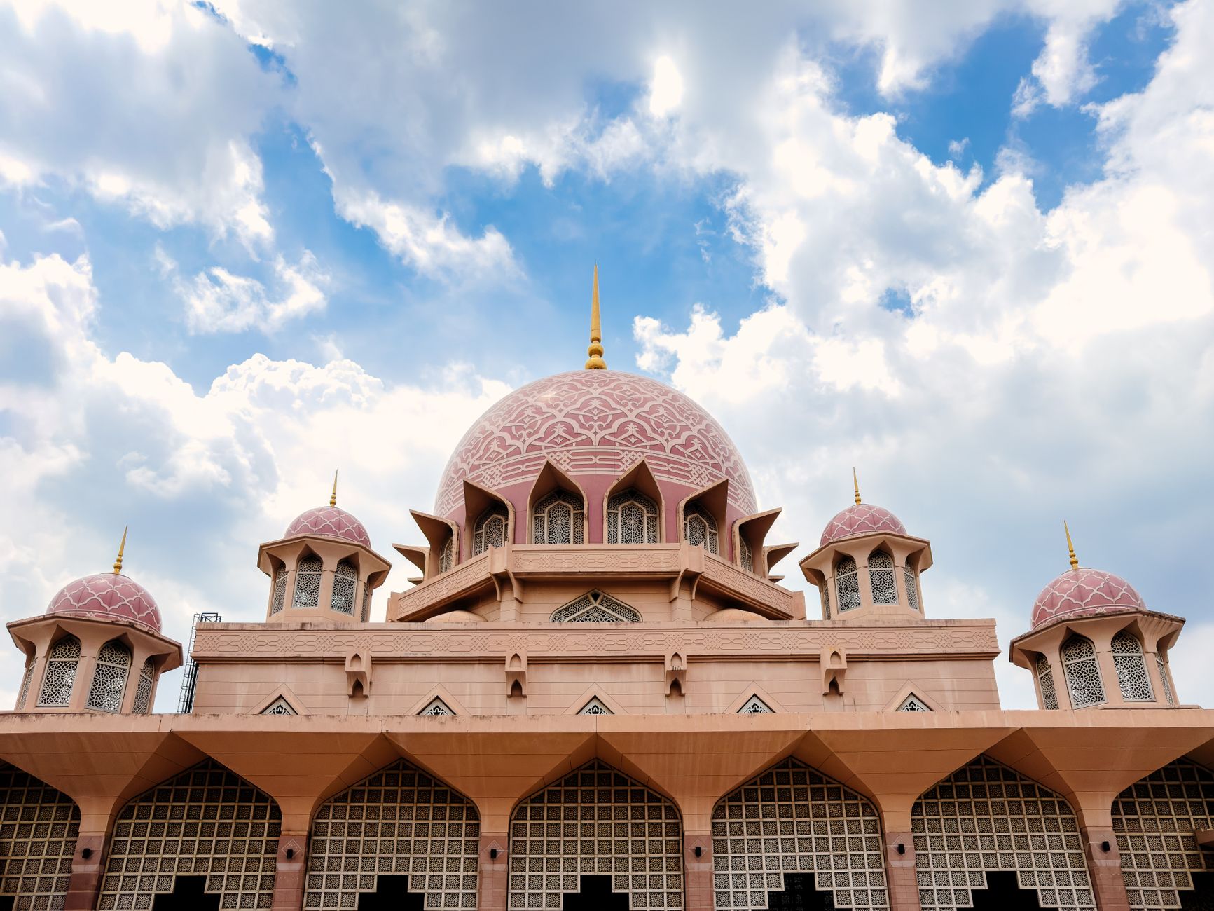
Putrajaya is a city that was drawn on paper before a single building stood. Conceived in the late 1980s and carved out of a former rubber plantation, it was designed from scratch to be Malaysia's federal administrative capital — wide boulevards, a 650-hectare lake, and government buildings whose domes and arches borrow from Mughal, Islamic and modernist traditions in equal measure. The result is unlike anywhere else in the country.
The 4.5-kilometre Putrajaya Boulevard runs its central spine from the Prime Minister's Office to the International Convention Centre, broad enough to feel ceremonial even on a quiet Tuesday. Around 38 percent of the city is green space, and the lake — one of the largest man-made freshwater wetlands in the tropics — gives the whole place an unexpected stillness.
How Putrajaya came to be
The land here was a British-era rubber plantation called Prang Besar, founded in 1921 by WWI veterans and eventually expanded to 8,000 acres. The idea of relocating Malaysia's federal government from Kuala Lumpur originated with Prime Minister Mahathir bin Mohamad; a site was selected in June 1993, the name settled on in late 1994, and construction began in August 1995 at an estimated cost of US$8.1 billion.
Planner Kun Lim won the invited design competition in 1994 and led the master plan through a consortium of Malaysia's largest architecture and engineering firms. The federal government seat moved here in 1999, the judiciary followed in 2003, and on 1 February 2001 Putrajaya was formally declared Malaysia's third federal territory.
Who and what shaped it
People who shaped it
Landmark buildings
See Putrajaya in motion
Plan your visit
On the map
When to go
Putrajaya sits in a tropical rainforest climate — warm and humid year-round, with afternoon rain showers possible in any month. There is no true dry season, though mornings are generally clearer; the equatorial heat peaks between March and May.
Right now
Background & history adapted from Wikipedia (CC BY-SA) · specs from Wikidata (CC0) · weather from Open-Meteo · map data © OpenStreetMap contributors · photos from Wikimedia Commons / Unsplash with per-image credit. No third-party reviews or social posts reproduced.