
Punta Cana
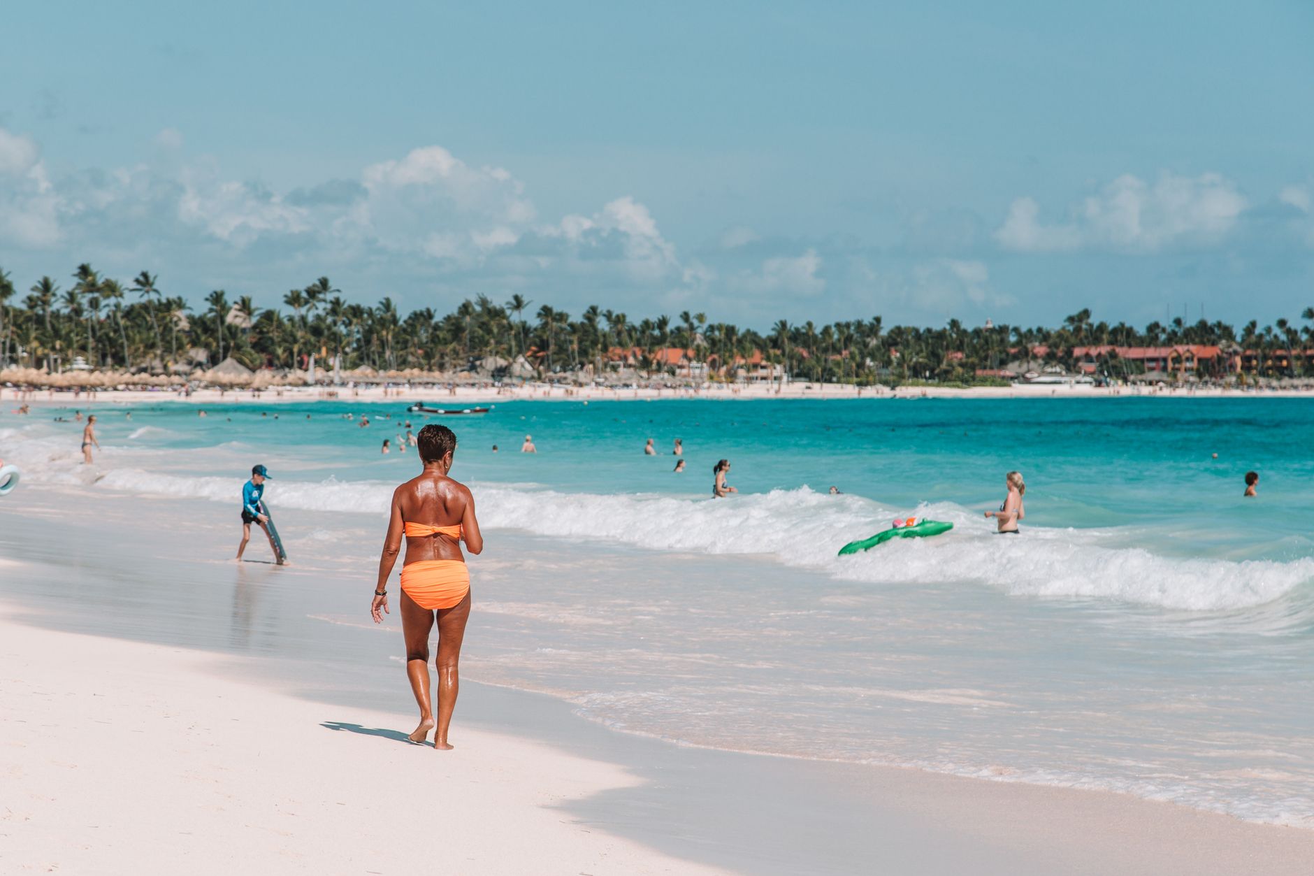
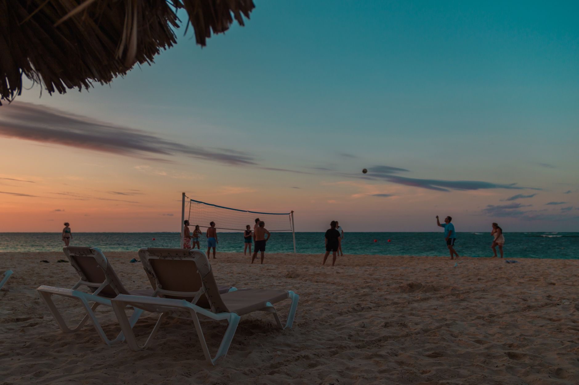
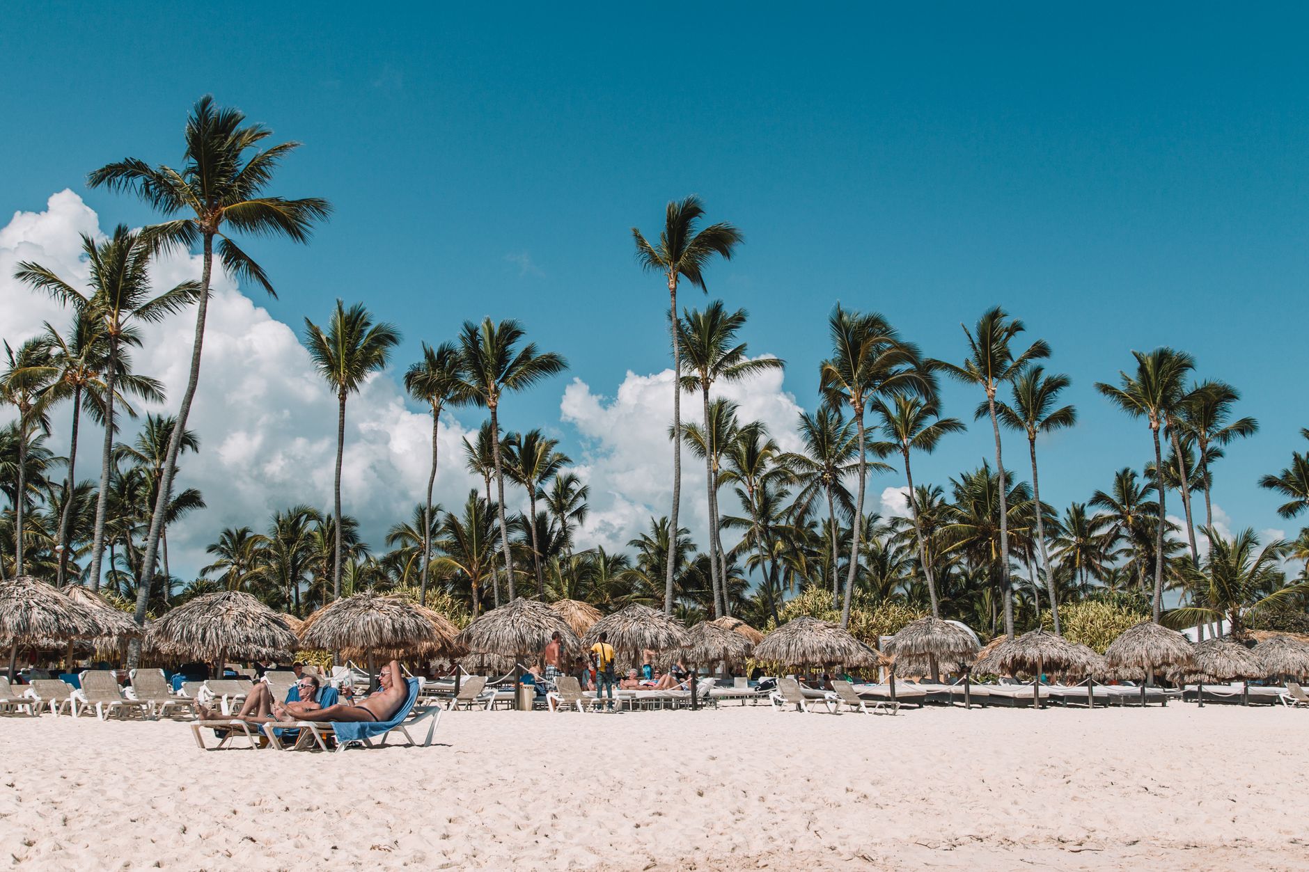
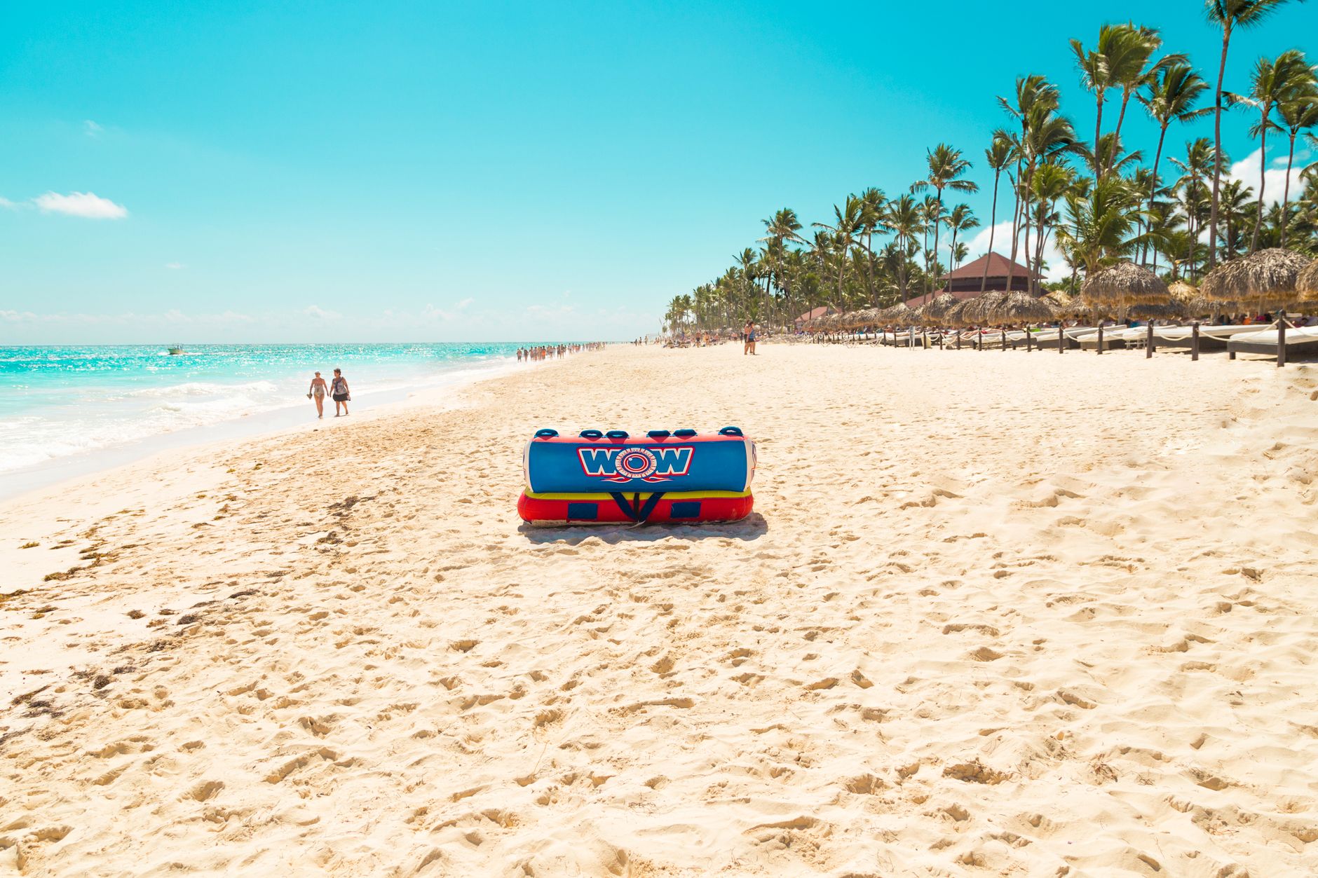
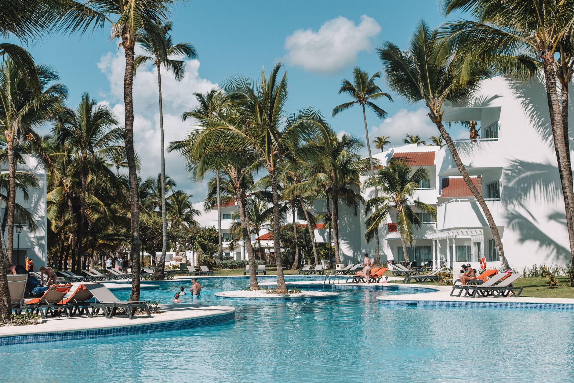
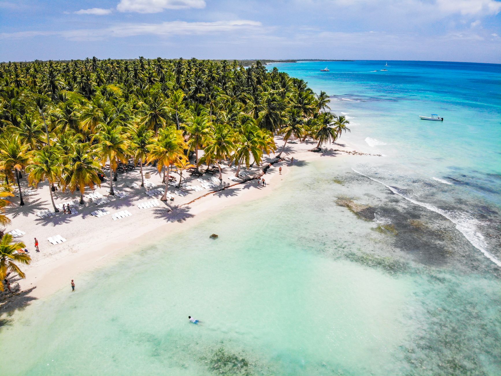
Punta Cana occupies the far eastern tip of the Dominican Republic, where the Atlantic meets the Caribbean and the coastline runs in a long, uninterrupted arc of pale sand backed by coconut palms. What started as 58 million square metres of impenetrable jungle in the late 1960s is now the most-visited corner of the country — its airport handles nearly two-thirds of all international arrivals.
The region stretches well beyond any single resort gate. You'll find Jack Nicklaus and Tom Fazio golf courses beside PGA Tour stops, a marine reserve, a 1,500-acre private nature sanctuary, and — if you look for it — a stone village reconstructed from a mountain that was blasted apart to build a road.
💛 What travellers fall for
People who return tend to sort themselves out early: rent a car, even just for a day or two, and the region opens up considerably. The drive toward Cap Cana is short, the Corales course is worth seeing even if you don't play, and the Puntacana Foundation's reserve is a quieter, more grounded afternoon than anything inside the resort bubble.
How Punta Cana came to be
In 1969, Dominican entrepreneur Frank Rainieri and American labour lawyer Theodore Kheel looked at an overgrown, roadless stretch of La Altagracia province and decided it was worth the risk. Rainieri renamed the place — previously called Yauya, or Punta Borrachos — Punta Cana, and the two men led a group of investors in acquiring the land. Their first hotel had 40 rooms. A mountain was literally blown up in 1976 to carve a road through, and the rubble was used to build a replica 16th-century Mediterranean village, designed by Italian filmmaker Roberto Coppa and Dominican architect José Antonio Caro.
The airport opened in 1984, receiving its first international flight from San Juan on a twin-turbo propeller aircraft. Fashion designer Óscar de la Renta and singer Julio Iglesias joined the project in 1996 — de la Renta later designed the interiors of the Tortuga Bay hotel. The Puntacana Foundation eventually turned part of the land into a 1,500-acre ecological reserve and opened schools and a health clinic in the nearby community of Véron. The area was formally incorporated as a touristic municipal district in 2006.
Who and what shaped it
People who shaped it
Landmark buildings
See Punta Cana in motion
Plan your visit
On the map
When to go
The eastern tip of the island is warm year-round, with temperatures rarely straying far from the low-to-mid 30s Celsius. The Atlantic-facing coast catches trade winds that keep the heat manageable most of the year; the wetter months run roughly from May through October, with the peak of hurricane season in August and September worth factoring into your plans.
Right now
Background & history adapted from Wikipedia (CC BY-SA) · specs from Wikidata (CC0) · weather from Open-Meteo · map data © OpenStreetMap contributors · photos from Wikimedia Commons / Unsplash with per-image credit. No third-party reviews or social posts reproduced.