
Preah Vihear Temple
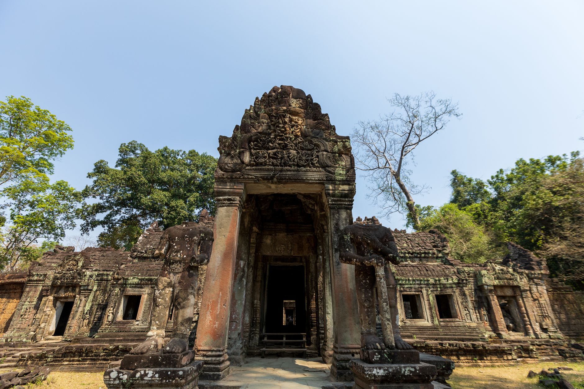
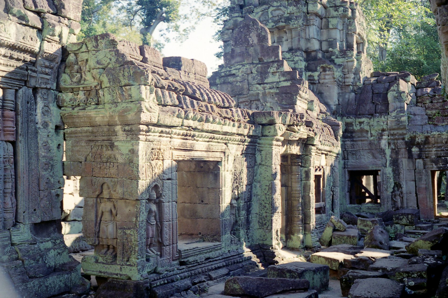
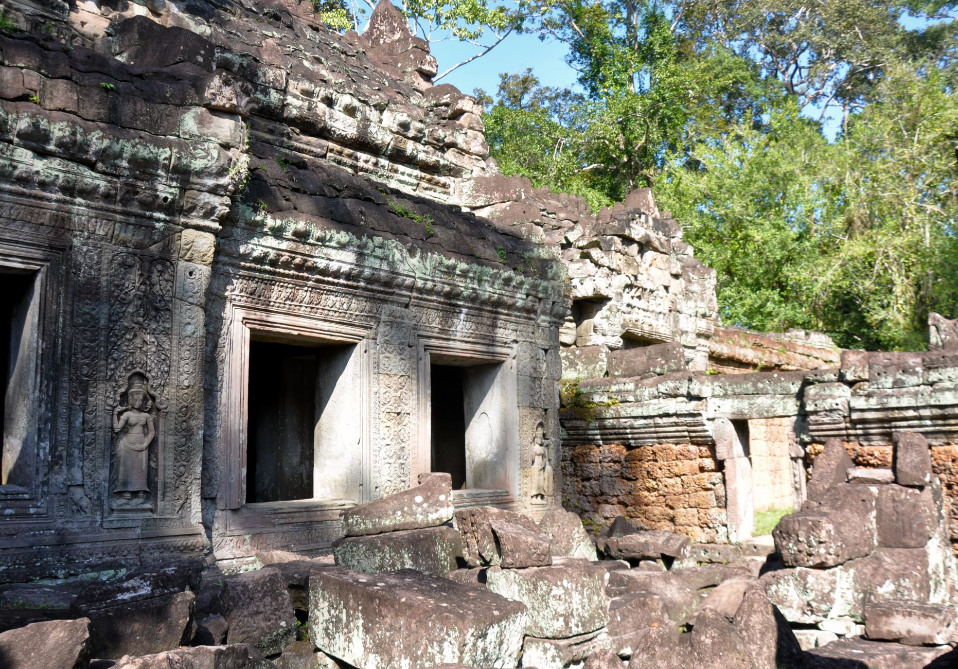
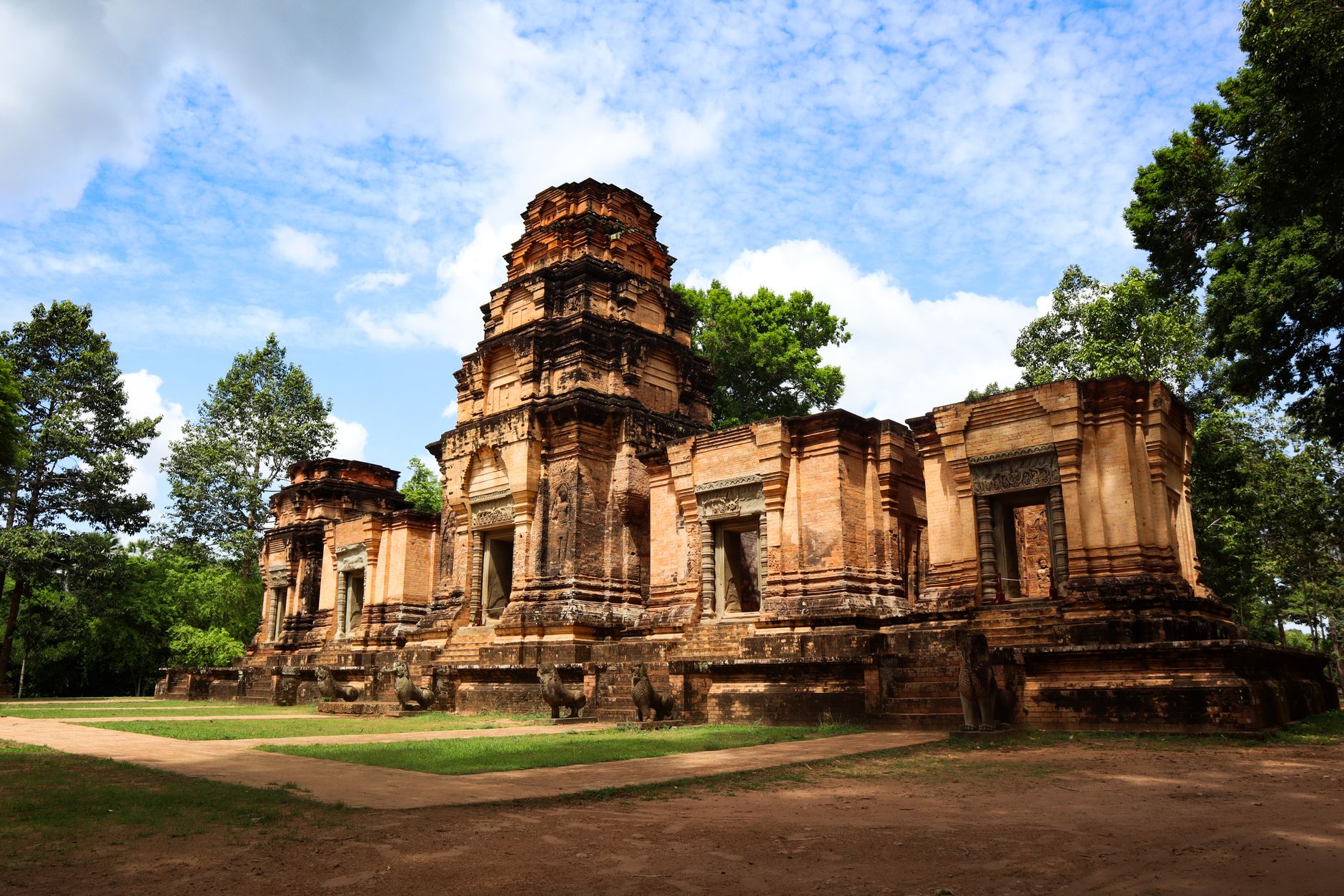
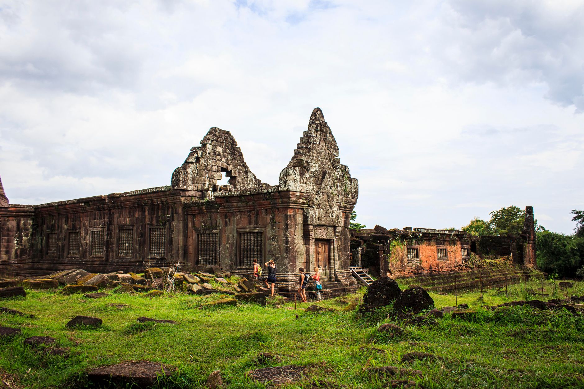
At the edge of the Dangrek escarpment, 525 metres above the Cambodian plain, Preah Vihear Temple sits where it has sat for roughly a thousand years — at the end of an 800-metre axis of gopuras, stairways, and nāga-flanked causeways, facing north toward Thailand and Laos. The name translates from Sanskrit as 'sacred sanctuary,' and the site earns that plainness.
You reach it by mototaxi from the town of Sra'em, then by jeep for the final stretch, then on foot up 2,442 stone steps — repaired in 2021 — past five successive entrance pavilions whose sandstone reliefs trace scenes from the Ramayana and Mahabharata. At the topmost gopura, you're standing at the cliff's edge. On the opposite mountain, a Thai flag is visible.
How Preah Vihear Temple came to be
The site began as a hermitage in the 9th century. King Yasovarman I, who reigned from 889 to 910, initiated its transformation into a stone complex, but the major building campaigns came later — under Suryavarman I (1006–1050) and Suryavarman II (1113–1150), who expanded and refined it into the layered sanctuary visible today. Among the figures attached to the later period is Divakarapandita, a Brahmin advisor to Suryavarman II, who donated a golden Nataraja — a dancing Shiva — to the temple.
The complex was eventually converted to Buddhist use as Hinduism receded across the region. Sovereignty remained contested for decades: a 1904 treaty gave Cambodia occupancy rights, and the International Court of Justice confirmed Cambodian ownership in 1962. UNESCO listed the temple in July 2008. Remnants of military bunkers and scaffolding from that long dispute are still visible on the grounds. The temple opened to the public at the end of 2015.
Who and what shaped it
People who shaped it
Landmark buildings
See Preah Vihear Temple in motion
Plan your visit
On the map
When to go
The dry season, November through April, brings clear skies and manageable heat — though March and April can push well above 35°C. The wet season, May through October, sees heavy rains and thunderstorms, particularly in June, July, and August, which makes the ascent slippery and the views less reliable.
Right now
Background & history adapted from Wikipedia (CC BY-SA) · specs from Wikidata (CC0) · weather from Open-Meteo · map data © OpenStreetMap contributors · photos from Wikimedia Commons / Unsplash with per-image credit. No third-party reviews or social posts reproduced.