
Port of Spain


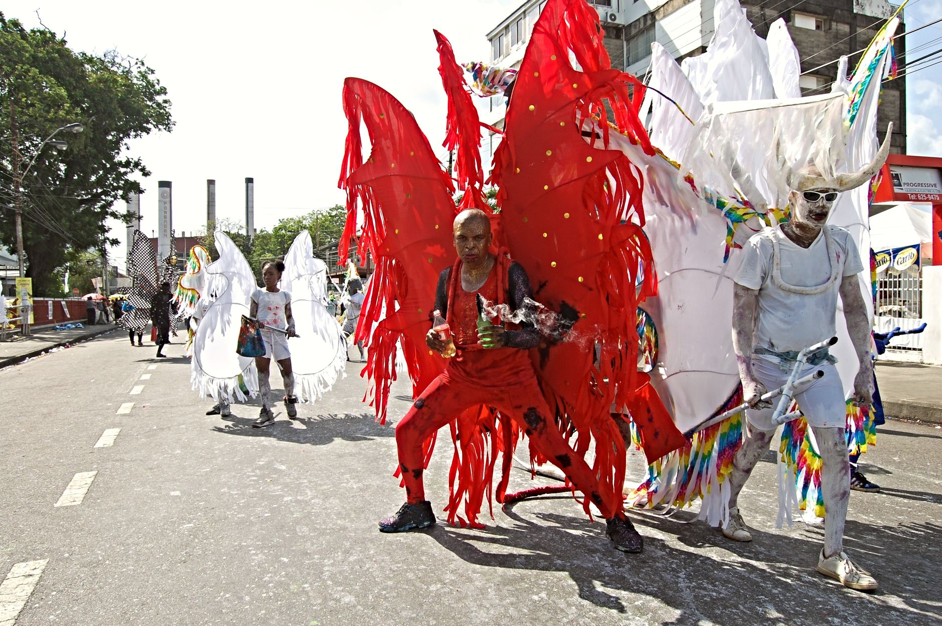

Port of Spain sits at the western edge of Trinidad, facing the Gulf of Paria, and it announces itself through layers: a ring of green hills behind the city, the long flat sprawl of Queen's Park Savannah at its center, and along one stretch of Maraval Road, seven extravagant Edwardian mansions that locals call the Magnificent Seven, built in a ten-year burst between 1902 and 1910 by families who wanted the world to know they'd arrived.
This is the capital and the hub — the ferry port for Tobago, the gateway to Caroni's scarlet ibis and the forests of the Northern Range, and a city with its own dense, specific character that rewards a day or two of slow walking.
How Port of Spain came to be
The site was an Amerindian fishing settlement called Cumucarpo when the Spanish founded a town here in 1560. It stayed a colonial backwater until 1757, when the administration moved from San José de Oruna and made it the island's capital. The British took Trinidad in 1797, and the city received its current name; formal British sovereignty followed under the Treaty of Amiens in 1802. A fire leveled much of the city in 1808, and a century later, in 1903, the Water Riots — a protest against rising water prices — burned down the Red House, the seat of parliament, which was rebuilt by 1906.
For four years between 1958 and 1962, Port of Spain served as the capital of the short-lived West Indies Federation. When that experiment ended and Trinidad and Tobago gained independence in 1962, the city settled into its current role: a small, historically layered Caribbean capital with a colonial core intact enough to read.
Who and what shaped it
People who shaped it
Landmark buildings
See Port of Spain in motion
Plan your visit
On the map
When to go
Temperatures barely shift across the year — daytime highs run 28–30°C (82–86°F) with warm nights throughout. The dry season from February to April keeps things manageable; August is the wettest month, with rain falling on roughly three weeks out of four.
Right now
Background & history adapted from Wikipedia (CC BY-SA) · specs from Wikidata (CC0) · weather from Open-Meteo · map data © OpenStreetMap contributors · photos from Wikimedia Commons / Unsplash with per-image credit. No third-party reviews or social posts reproduced.