
Pokhara
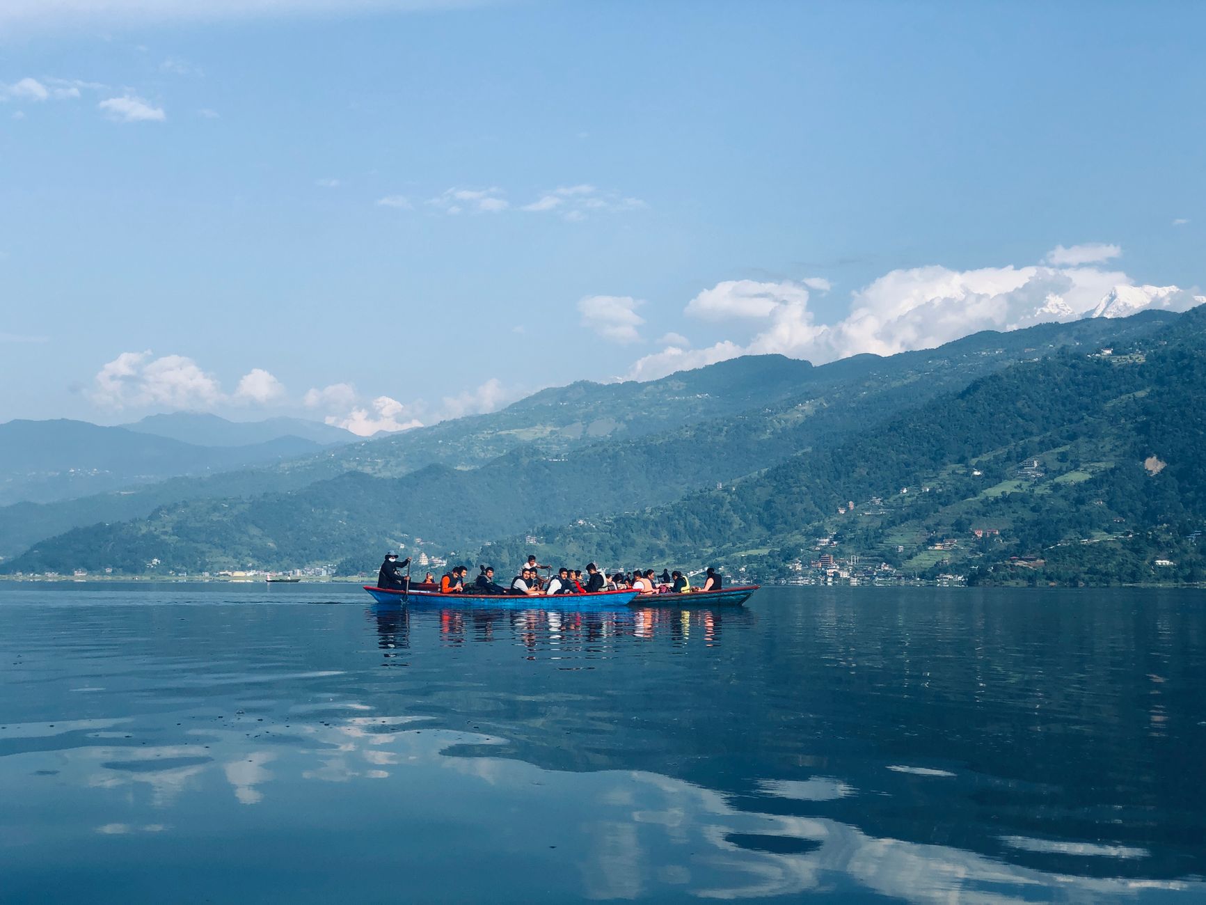
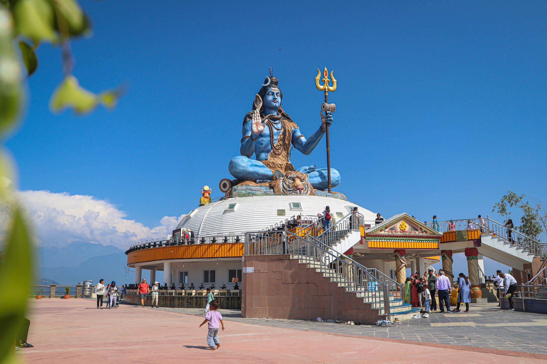
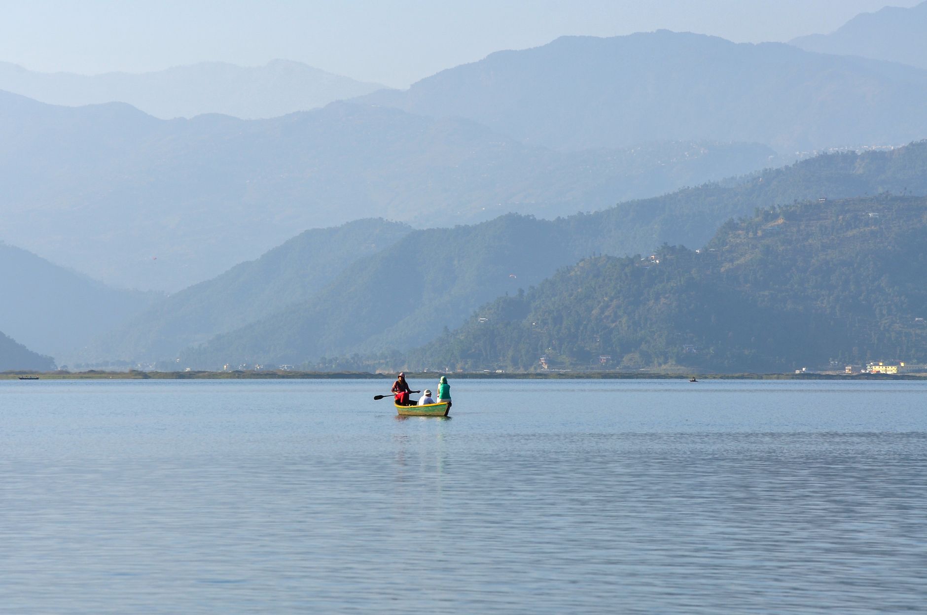
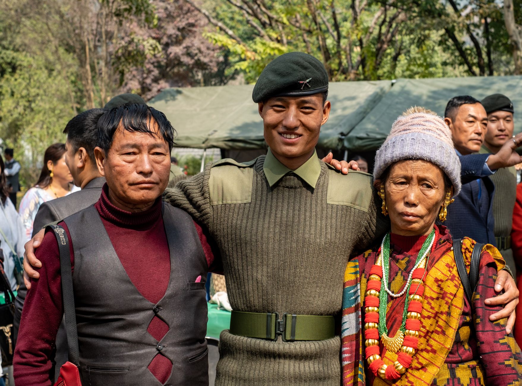
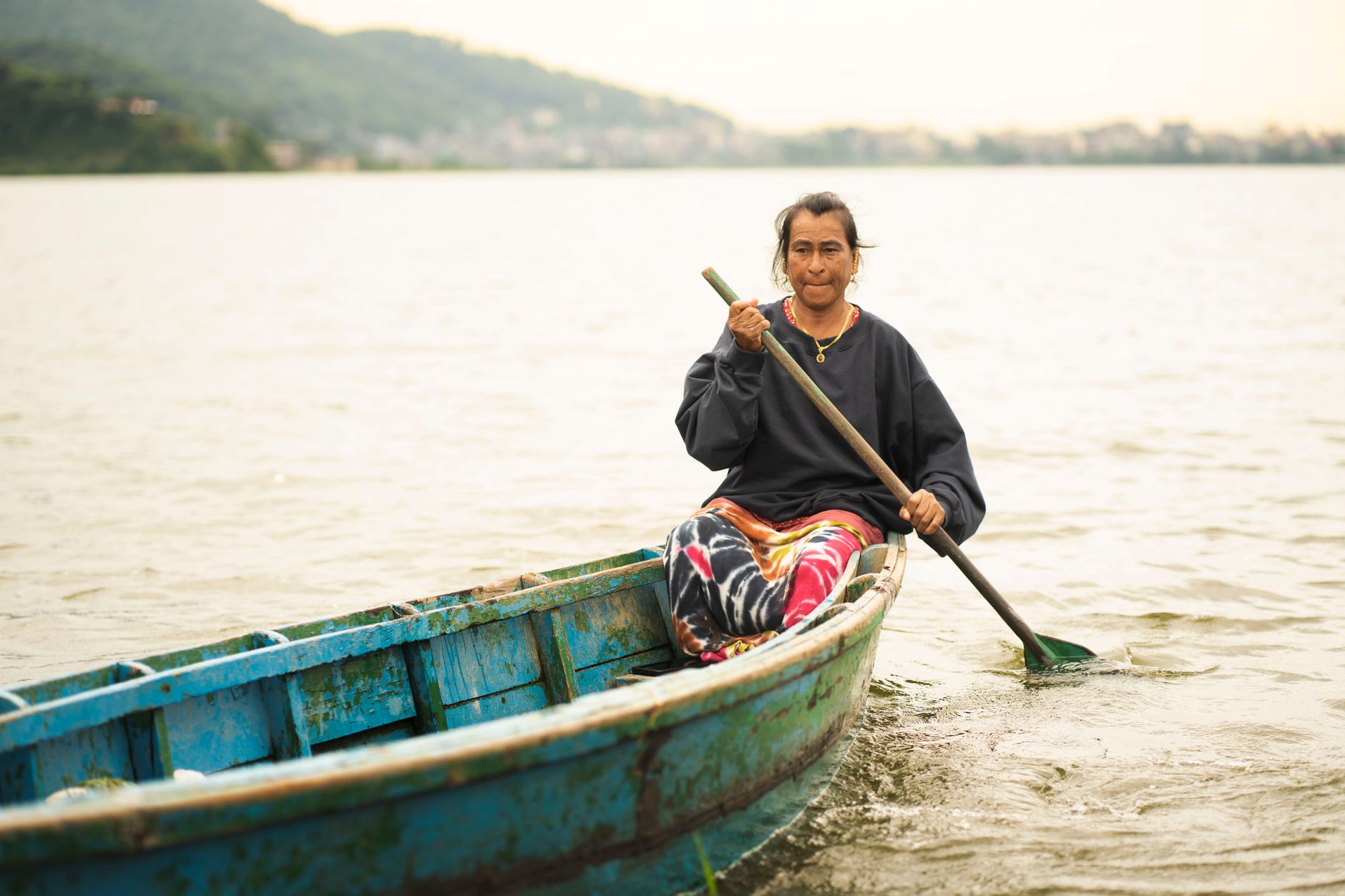
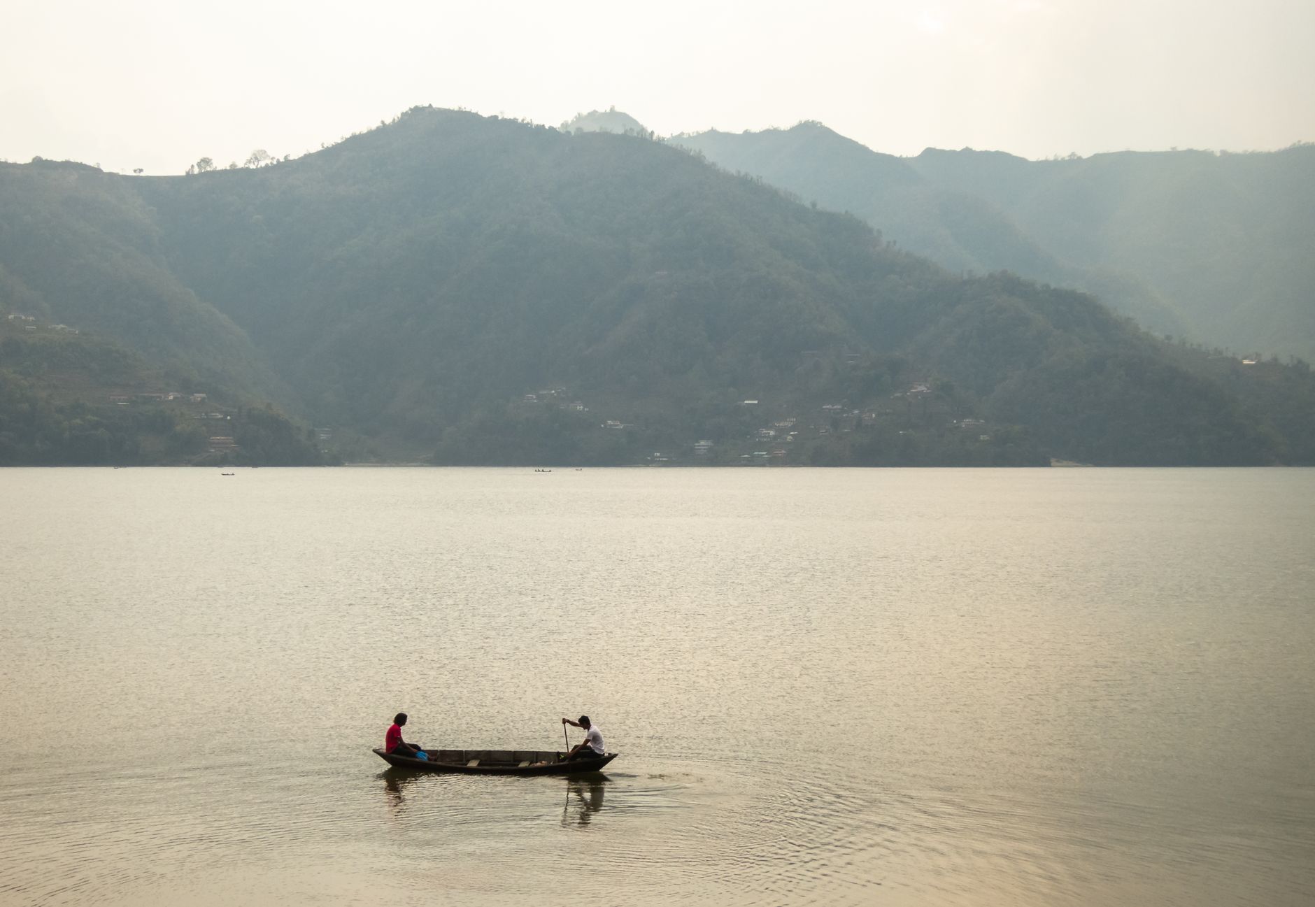
Pokhara sits at the edge of a long lake with the Annapurna massif filling the northern sky — on clear mornings, the reflection of those peaks in Phewa Lake is so precise it looks like a second range growing upward from the water. The city is Nepal's declared tourism capital, but it earns that title less through monuments than through position: it's the last proper city before some of the world's great trekking country begins, and the place most people return to after weeks in the mountains.
Lakeside, the tourist quarter along Phewa's eastern shore, runs on guesthouses and gear shops. Step back from it and Pokhara opens into older neighborhoods, Newari temples, and a waterfall that simply vanishes — the Seti Gandaki's tributary drops into a 500-meter underground gorge and resurfaces further south, as if the earth swallowed it whole.
How Pokhara came to be
Pokhara's valley was theorized to have seen its first settlement around the mid-14th century, when the Kaski kingdom used the area as a winter capital. The city as a trading place took shape in 1752, when King Siddhi Narayan Shah brought Newar merchants and artisans from Bhaktapur to establish a permanent market — which is why you still find a 200-year-old Bhimsen Temple here, dedicated to the Newari god of trade. In 1786, Prithvi Narayan Shah folded Pokhara into his unified Nepal.
For most of its history the valley remained difficult to reach. That changed in 1968 with the Siddhartha Highway, and through the 1960s and 70s Pokhara became a stop on the overland trail east — mountaineers, then hippies, then trekkers, each wave leaving a slightly different layer on Lakeside.
Who and what shaped it
People who shaped it
Landmark buildings
See Pokhara in motion
Plan your visit
On the map
When to go
Autumn (October–November) brings the clearest mountain views and the most comfortable walking temperatures, typically 13–17°C. Winter is cool and dry with cold nights; spring warms gradually but clouds build toward May; and the monsoon (June–September) delivers nearly four meters of annual rainfall, which keeps the valleys green but the mountains hidden.
Right now
Background & history adapted from Wikipedia (CC BY-SA) · specs from Wikidata (CC0) · weather from Open-Meteo · map data © OpenStreetMap contributors · photos from Wikimedia Commons / Unsplash with per-image credit. No third-party reviews or social posts reproduced.