
Plitvice Lakes National Park

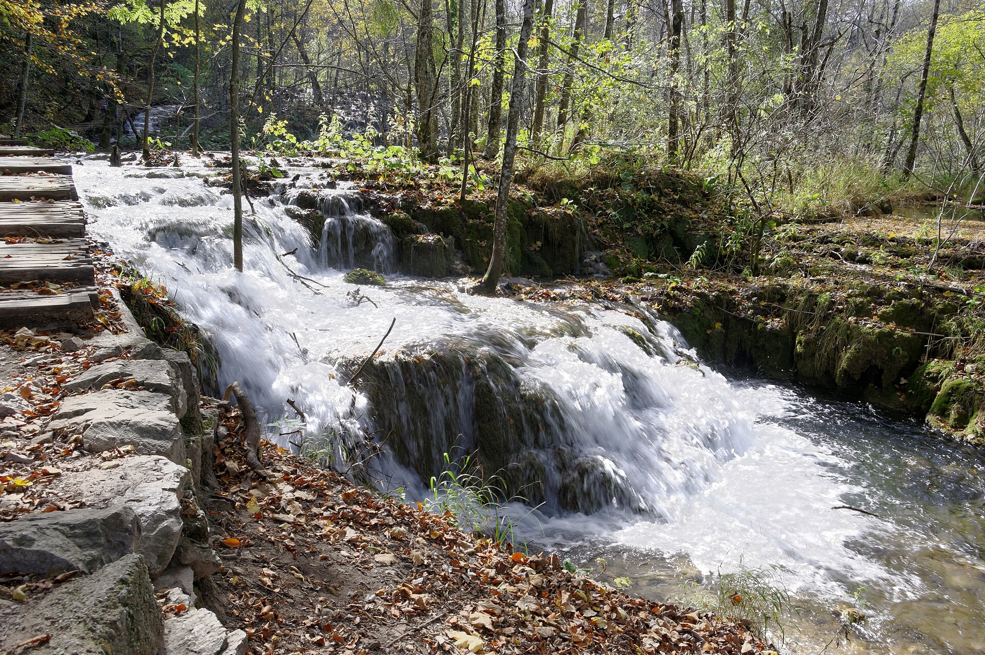
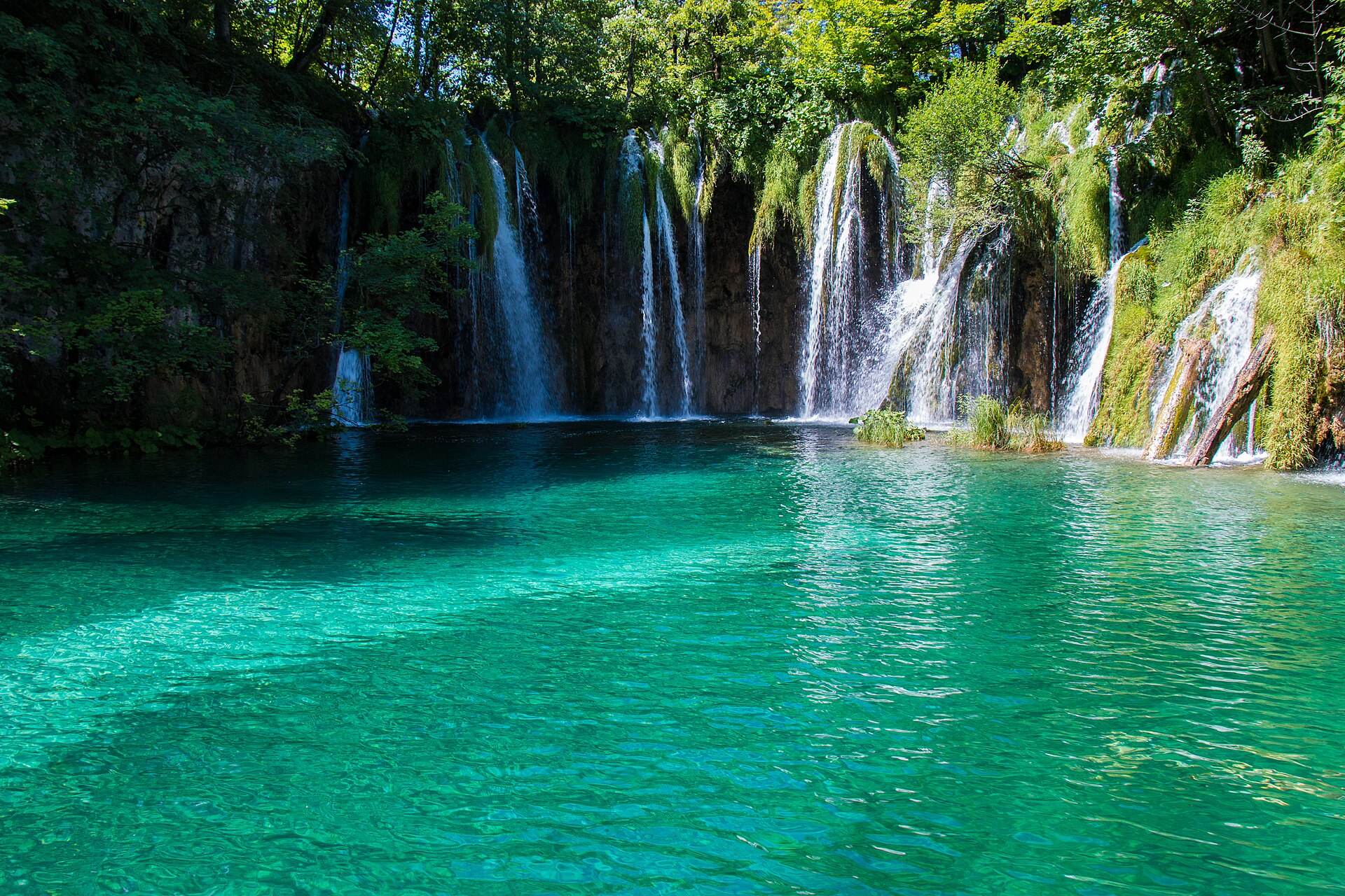
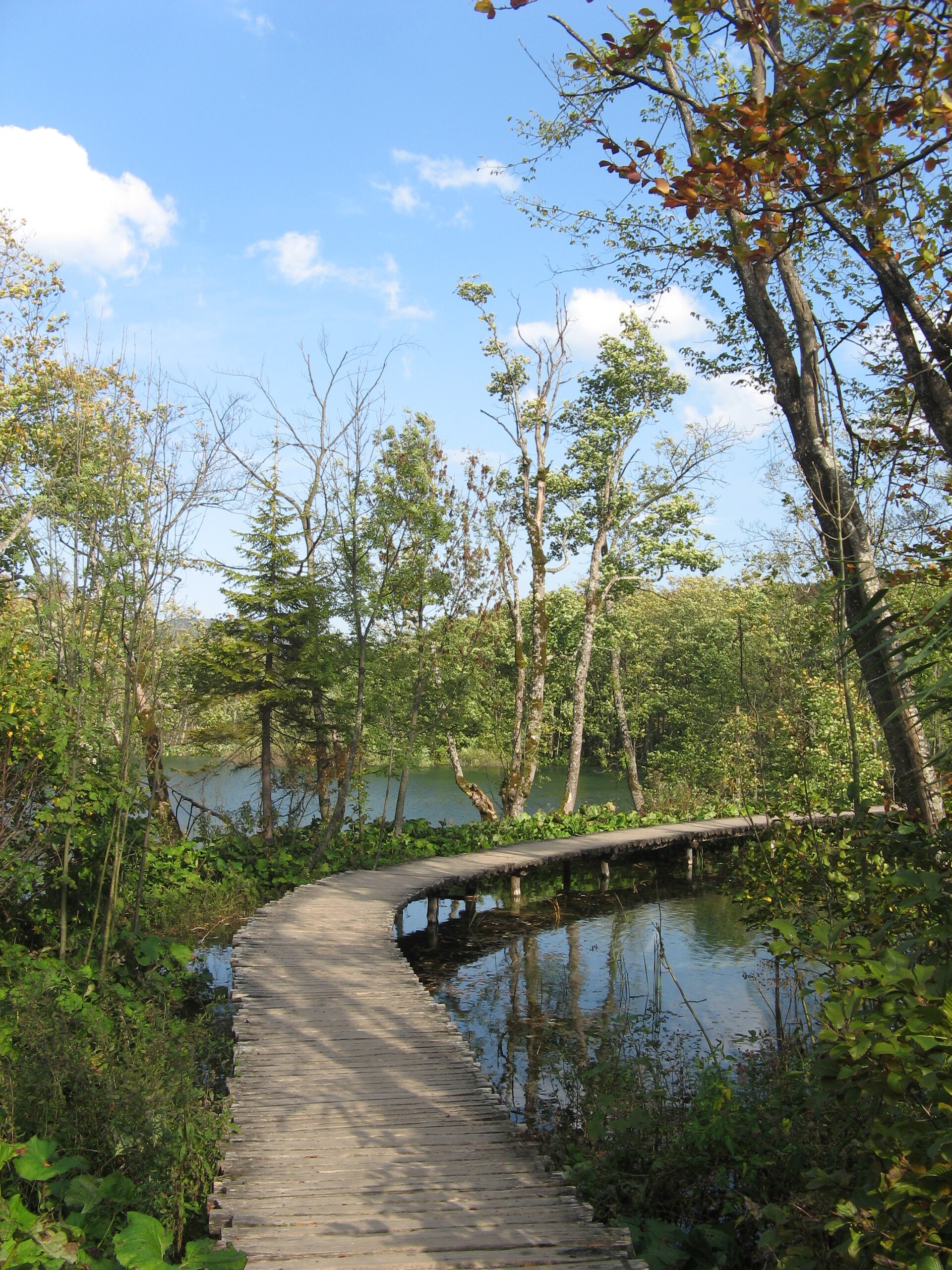
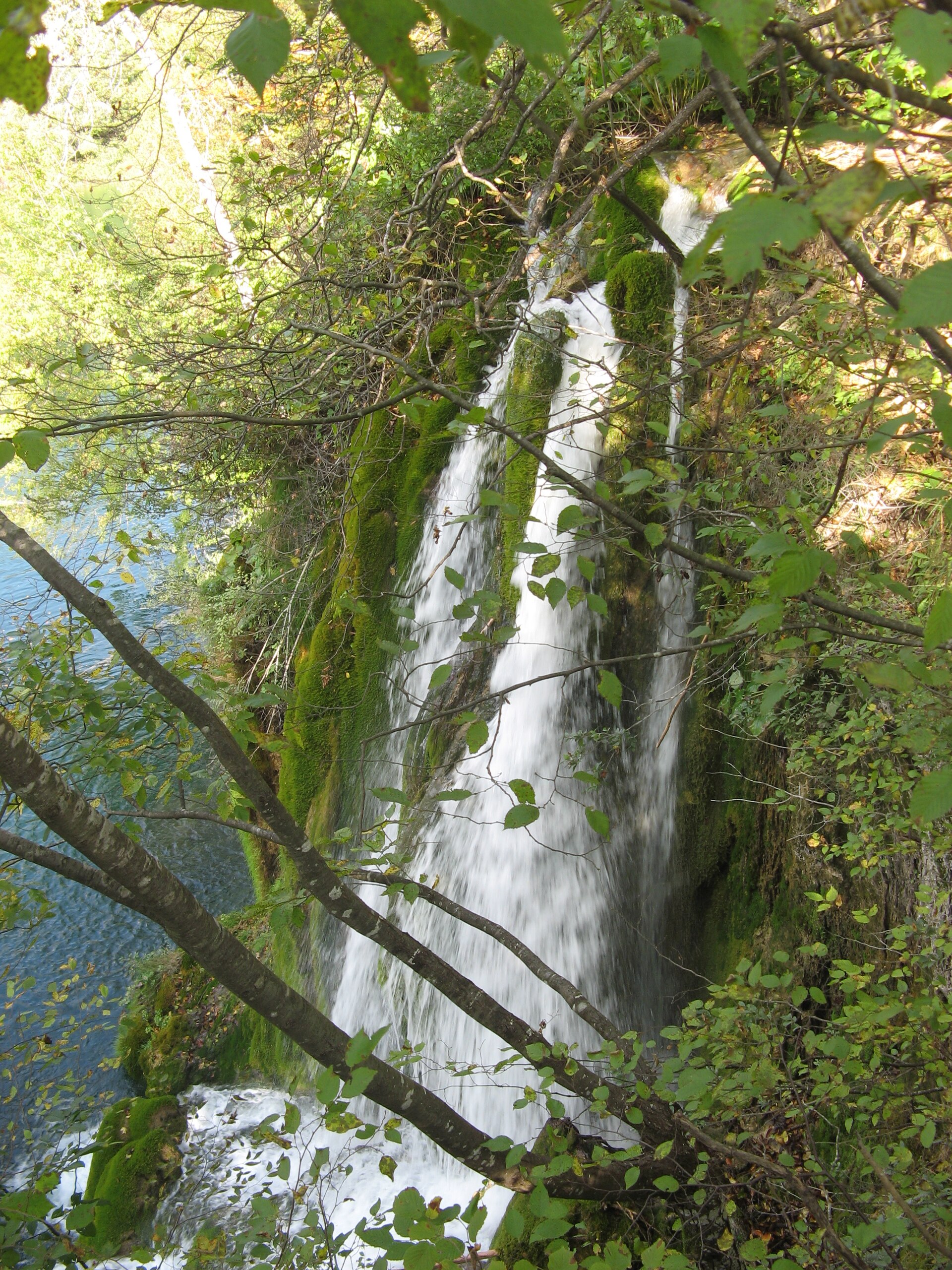
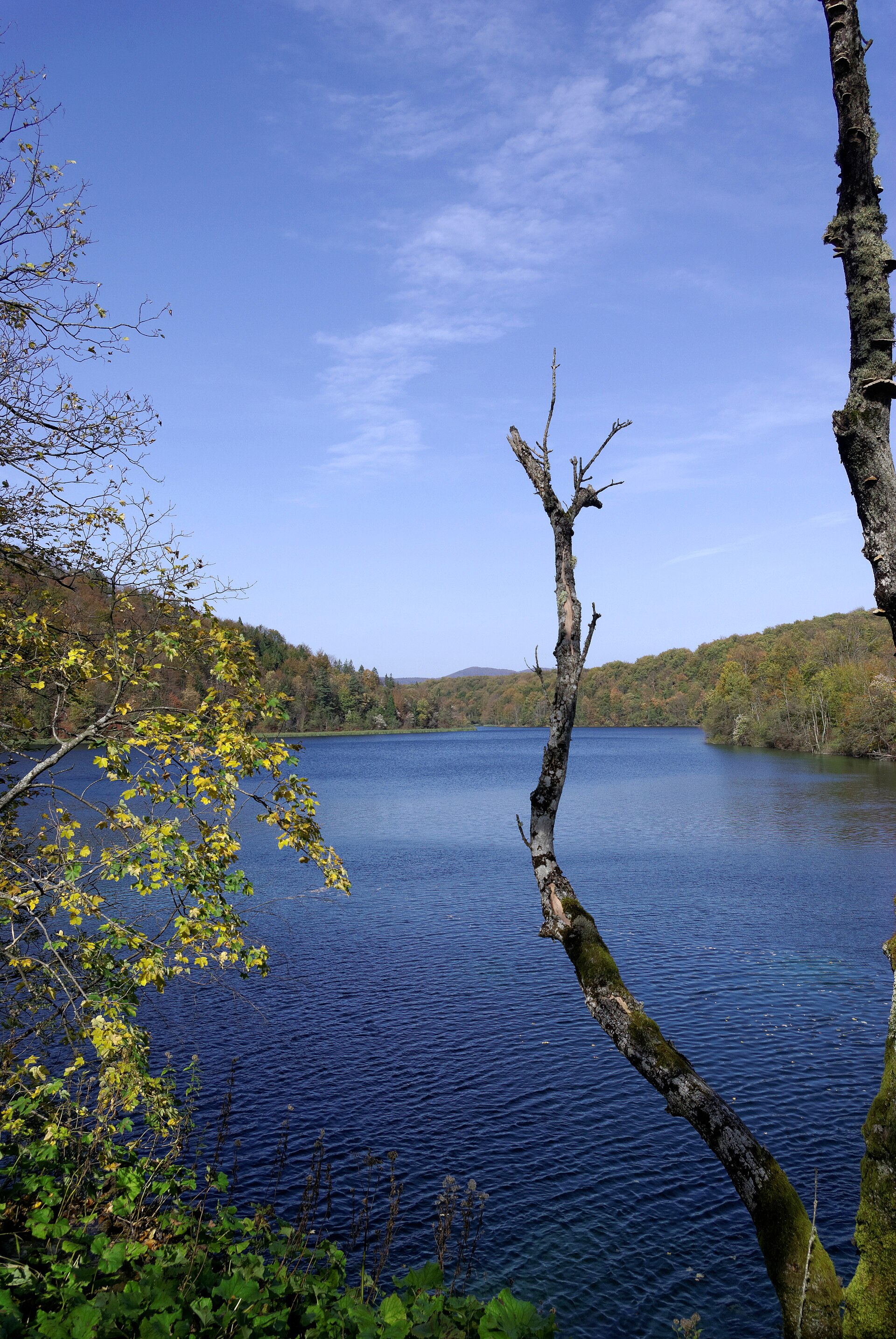
Sixteen lakes step down through a karst valley in central Croatia, each one feeding the next over travertine barriers that the water itself has been building for thousands of years. The colour shifts — turquoise, then deep green, then something closer to grey — depending on the light and the minerals in suspension. Wooden footbridges run right across the water, close enough that you can watch trout hold still in the current below your feet.
At 297 square kilometres, Plitvice is the largest national park in Croatia, and the scale of it catches most people off guard. Veliki Slap, the tallest waterfall in the country, drops 78 metres into a canyon thick with beech and fir. The park has been a UNESCO World Heritage Site since 1979.
💛 What travellers fall for
People who return tend to time it carefully. Early April, when the Upper Lakes reopen and the snowmelt is still pushing hard over the falls, draws those who have already done summer. Others come back in November for the low ticket price and the near-empty paths. Almost everyone says the same thing: buy your ticket online the evening before.
How Plitvice Lakes National Park came to be
Tourism here predates the national park by more than half a century. In 1888, Crown Princess Stéphanie of Belgium visited, and the lakes had already acquired enough of a reputation that a Society for the Preservation of the Plitvice Lakes was founded in 1893 by Gustav Janeček, a Czech-born Zagreber who also built the first restaurant and accommodation at Labudovac. The opera singer Milka Ternina donated concert proceeds to the preservation effort; a waterfall was named for her in 1898.
The park was formally established on 8 April 1949. It gained UNESCO status in 1979, but the following decade brought the Croatian War of Independence to its doorstep — the Plitvice Lakes incident in March 1991 was the first armed confrontation of that war. Croatian forces retook the area in August 1995 during Operation Storm, and the park reopened to visitors in 1998.
Who and what shaped it
People who shaped it
Landmark buildings
See Plitvice Lakes National Park in motion
Plan your visit
On the map
When to go
Summers are short and can be wet, with July averaging around 27°C during the day; winters are genuinely cold, often snowy, and the Upper Lakes trails close until early April. Spring and early autumn give you the best combination of manageable crowds and good light on the water.
Right now
Background & history adapted from Wikipedia (CC BY-SA) · specs from Wikidata (CC0) · weather from Open-Meteo · map data © OpenStreetMap contributors · photos from Wikimedia Commons / Unsplash with per-image credit. No third-party reviews or social posts reproduced.