
Plettenberg Bay
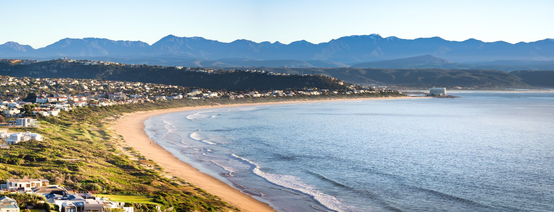
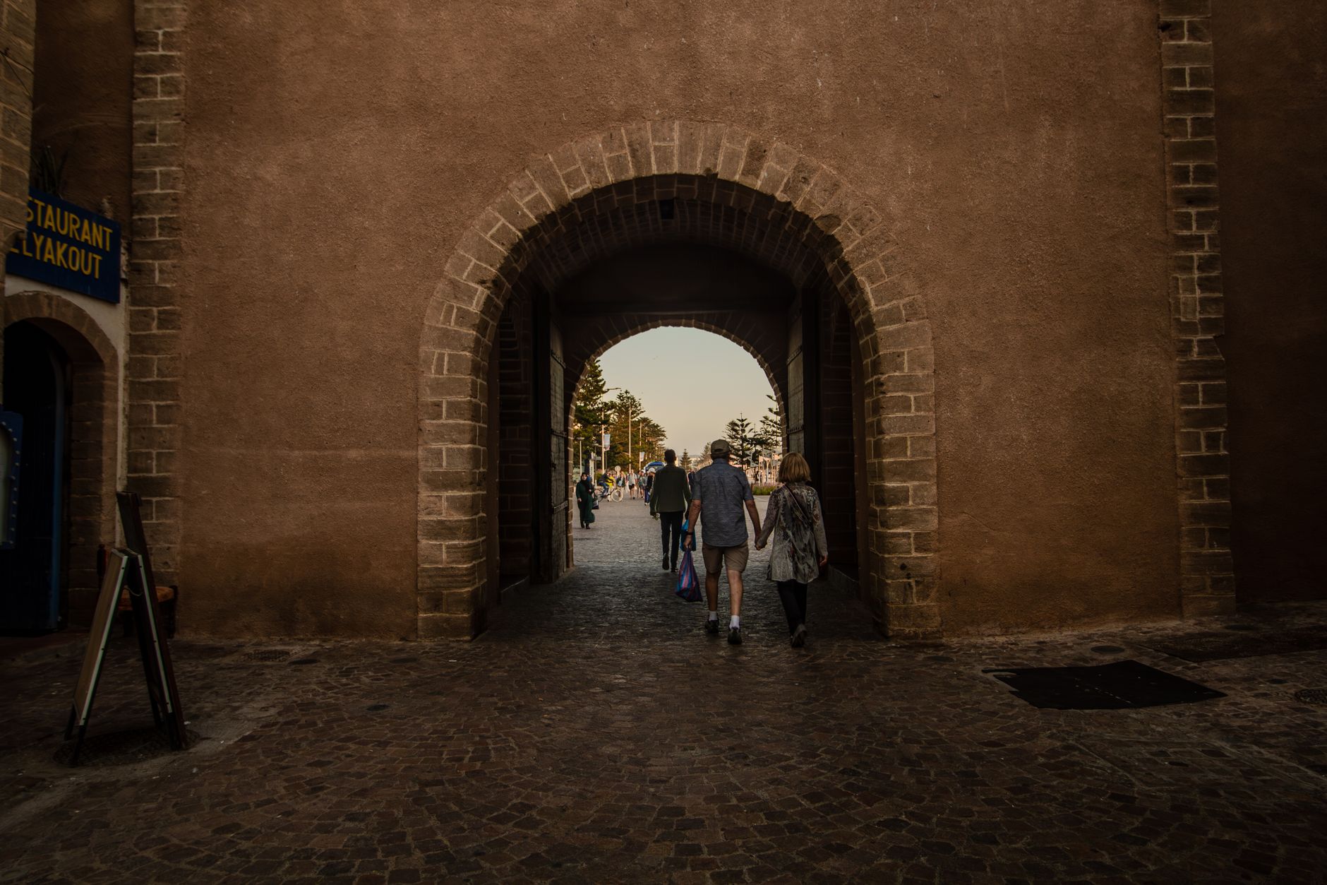
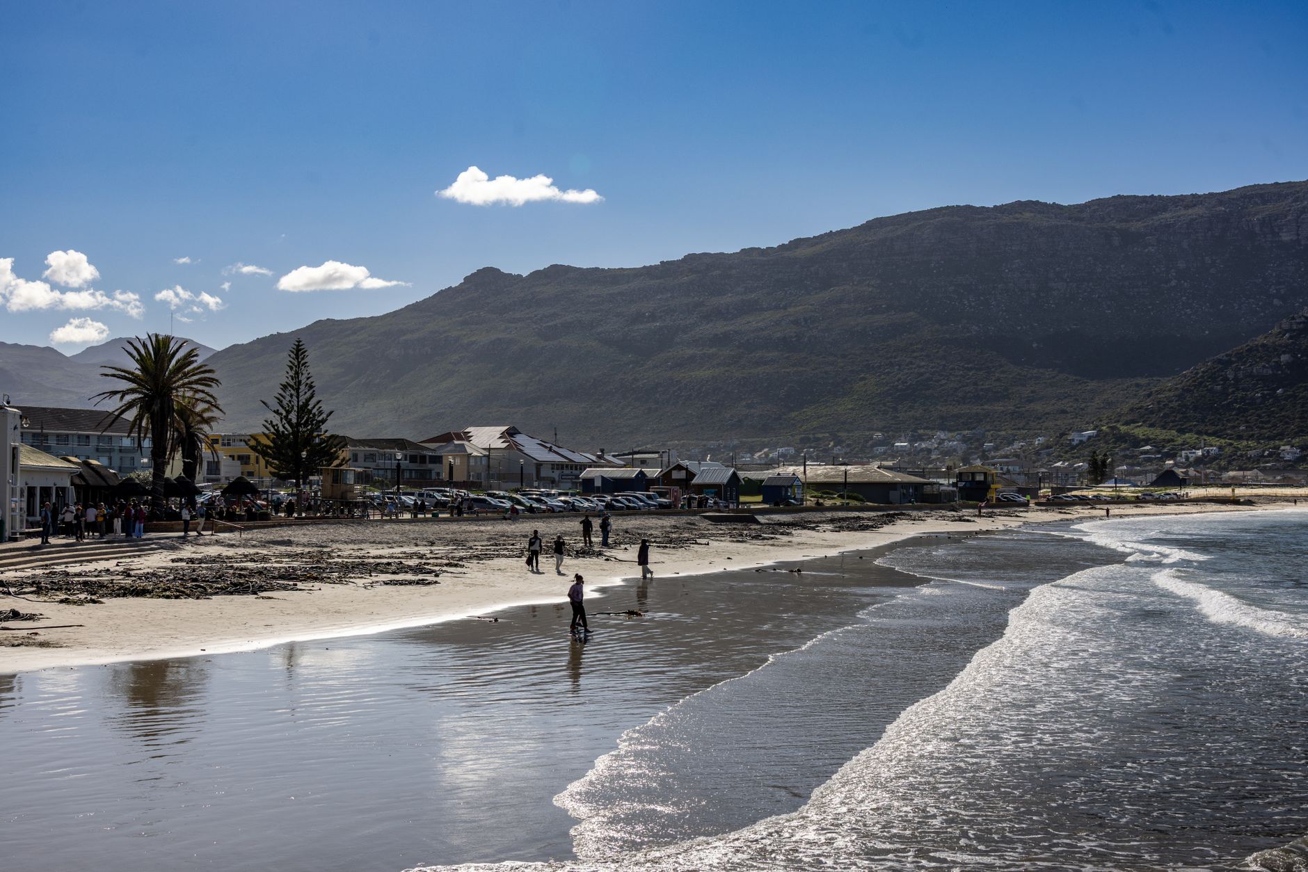
The first thing you notice about Plettenberg Bay is the light — the way it bounces off the Indian Ocean and back onto the cliffs at Robberg, turning the whole peninsula a particular shade of amber in the late afternoon. The bay itself was called Bahia Formosa, Beautiful Bay, by the Portuguese who charted it in the sixteenth century, and that name has held up.
Plett, as everyone calls it, sits at the eastern edge of the Garden Route where the Keurbooms and Bitou rivers meet the sea. It draws South Africans north and south along the N2 every summer, and for good reason — the beaches are long, the water swimmable, and Robberg Nature Reserve keeps a full peninsula of wild coastline from being built over.
💛 What travellers fall for
People who come back tend to mention the same things: the walk around Robberg at low tide when the cape fur seals are hauled out on the rocks, coffee at a spot in town before the summer crowds find their rhythm, and the drive out to Harkerville on a weekday when the forest roads are quiet. Four nights is the number most of them land on.
Deals in Plettenberg Bay
Book directly at the provider

How Plettenberg Bay came to be
Bartolomeu Dias charted the bay in 1487, but it was the wreck of the São Gonçalo in June 1630 that left the first real mark — a hundred Portuguese sailors marooned on Beacon Island for nine months, scratching out survival before they could leave. A stone they left behind eventually made its way to a museum in Cape Town. Permanent European settlement arrived in 1763, and the Dutch East India Company followed: barracks in 1776, a stinkwood navigational beacon on Beacon Island in 1771 inscribed with latitude and longitude, and a timber shed built by Johann Jerling in 1787 that still stands as a provincial heritage site.
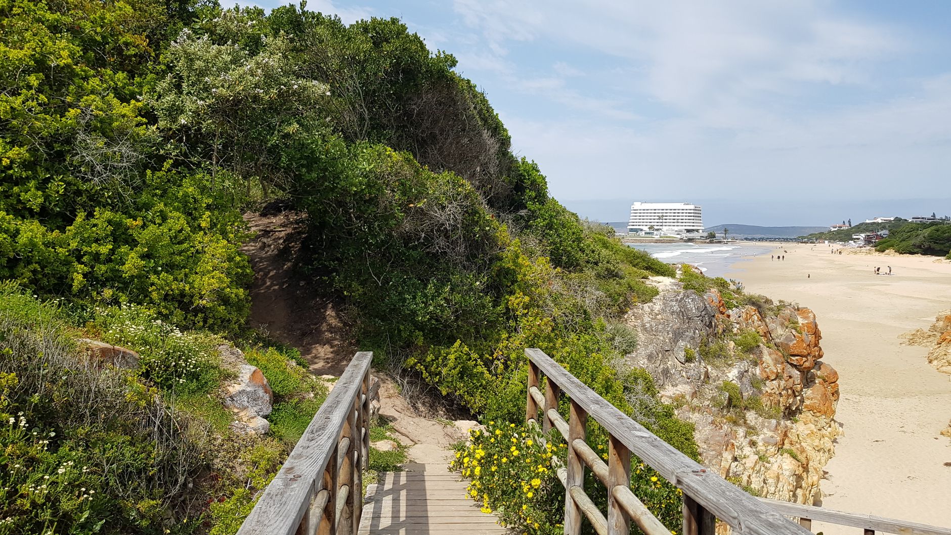
Governor Baron Joachim van Plettenberg renamed the settlement in 1779, lending it the name it carries today. For most of the nineteenth century it served as a provisioning stop for ships bound for India, with a population that barely reached four hundred by 1833. The whaling station that operated on Beacon Island from 1910 to 1916 left its own ghost — Sol Kerzner's Southern Sun group built the Beacon Isle Hotel directly on that site in the early 1970s, its brutalist concrete mass rising from the rocks, and the town's modern identity as a destination for aspirational South African travellers began there.
Who and what shaped it
People who shaped it
Landmark buildings
See Plettenberg Bay in motion
Plan your visit
On the map
When to go
The climate is genuinely mild year-round — summer days run between 20°C and 26°C with warm ocean water, while winter stays temperate enough for hiking Robberg in a light layer. The so-called secret season of May through August brings fewer people and the same reliable light.
Right now
Background & history adapted from Wikipedia (CC BY-SA) · specs from Wikidata (CC0) · weather from Open-Meteo · map data © OpenStreetMap contributors · photos from Wikimedia Commons / Unsplash with per-image credit. No third-party reviews or social posts reproduced.