
Placencia
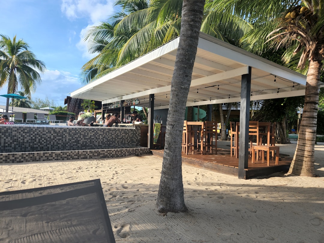
Placencia is a narrow finger of land extending into the Caribbean, thin enough in places that you can hear the sea on both sides. The peninsula runs roughly 16 miles from north to south, and its main street is, famously, a concrete sidewalk — wide enough for two people walking abreast, lined with wooden houses raised on stilts, their porches close enough that a conversation can drift from one to the next without effort.
From here you reach the Silk Cayes and the Belize Barrier Reef by boat in under an hour, or head inland toward the Maya Mountains. The peninsula holds its own quiet logic: small enough to walk end to end, specific enough to reward staying put.
How Placencia came to be
The Maya were here first, working the coastline for salt and trading it inland. English Puritans arrived in the 1600s, but that settlement collapsed during the Spanish American wars of independence by the 1820s. The peninsula was resettled in the late 1800s by a handful of families — Garbutts, Westbys, Eileys, and the Cabrals, who sailed in from the Caribbean on schooners named The Colibri and The Jane — whose descendants still live here.
The sidewalk that now runs through the village was built out of necessity, a practical solution when there were no roads and homes clustered along the waterfront. The peninsula only connected to the national power grid in 1993, and the paved road to the mainland opened in 2012. Hurricane Iris in October 2001 destroyed roughly 95% of structures; what you see today was largely rebuilt in the years after.
Who and what shaped it
People who shaped it
Landmark buildings
See Placencia in motion
Plan your visit
On the map
When to go
Temperatures stay warm year-round — low 30s Celsius in summer, mid-20s in January — with humidity that rarely relents. The dry season from February to May is the most comfortable window; if you visit in the rainy season, a brief dry spell usually appears in July or August.
Right now
Background & history adapted from Wikipedia (CC BY-SA) · specs from Wikidata (CC0) · weather from Open-Meteo · map data © OpenStreetMap contributors · photos from Wikimedia Commons / Unsplash with per-image credit. No third-party reviews or social posts reproduced.