
Pilanesberg National Park
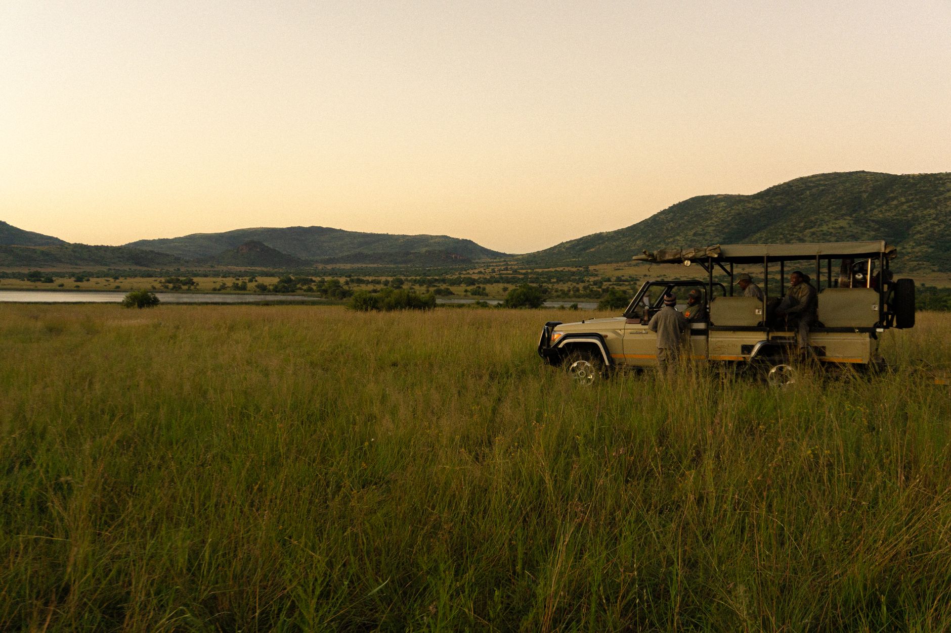


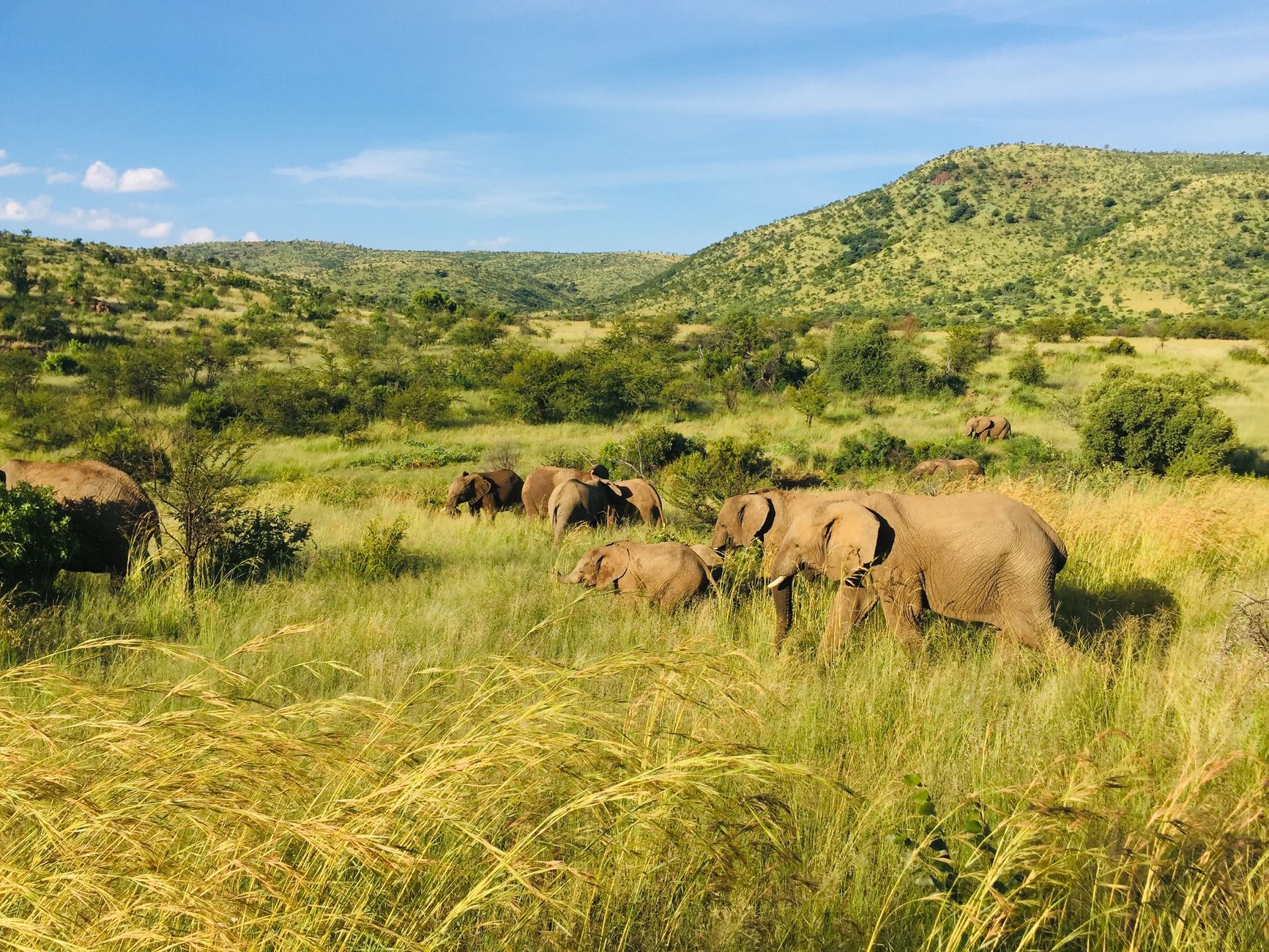
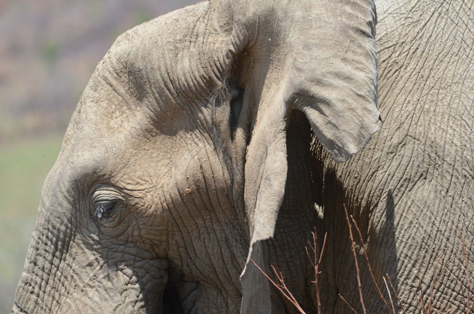
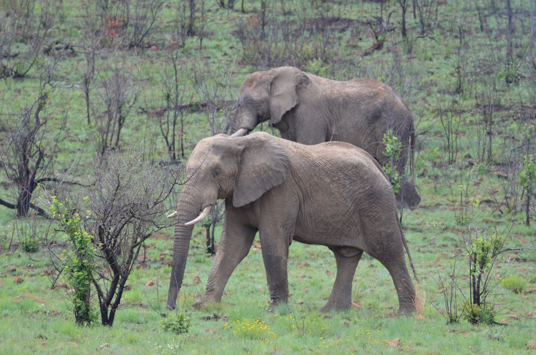
Pilanesberg sits inside the crater of one of the oldest and largest alkaline ring complexes on earth — a geological fact you feel more than understand when you're driving Tlou Drive, which follows an ancient crack that split the land open long before any of this was a park. The hills rise in concentric rings around Thabayadiotso, the volcanic peak at the centre, and elephants move through the valleys between them as though they've always been here.
They haven't, quite. Pilanesberg is a restoration story — nearly 6,000 animals introduced, a landscape stripped of farming scars and rebuilt from scratch. It's also malaria-free and roughly two hours from Johannesburg, which makes it the most accessible Big Five park in the country.
💛 What travellers fall for
People who come back tend to get specific about the hides. Rathogo in the morning, when the light is low and flat across the water. Ruighoek or Malatse in the afternoon. And the interactive sightings screen at Pilanesberg Centre — worth checking before you head out — often tells you exactly where the lions were last seen.
How Pilanesberg National Park came to be
The land that became Pilanesberg was farmland for generations, bearing the marks of human settlement, exotic vegetation and divided ownership. In 1977 the decision was made to restore it. By 8 December 1979, when the park formally opened, a 110-kilometre perimeter fence had gone up, 188 kilometres of visitor roads had been laid, and Operation Genesis had introduced close to 6,000 large animals to land that had forgotten them. Lions followed in 1993. African wild dogs arrived in 1999.
The park takes its name from Chief Pilane of the Kgafêla people, who ruled the region in the 1800s. For much of the park's early life it fell within the nominally independent homeland of Bophuthatswana. After President Mangope was deposed in 1994, Pilanesberg was reincorporated into South Africa proper.
Who and what shaped it
People who shaped it
Landmark buildings
See Pilanesberg National Park in motion
Plan your visit
On the map
When to go
The dry winter months — May through September — thin the foliage and pull animals toward permanent water, making Mankwe Dam and the bird hides especially productive; mornings can be cold enough to need a jacket. The wet season runs October through March, with short, heavy afternoon downpours and midday temperatures around 32°C; the landscape turns green, but sightings require more patience.
Right now
Background & history adapted from Wikipedia (CC BY-SA) · specs from Wikidata (CC0) · weather from Open-Meteo · map data © OpenStreetMap contributors · photos from Wikimedia Commons / Unsplash with per-image credit. No third-party reviews or social posts reproduced.