
Phnom Penh
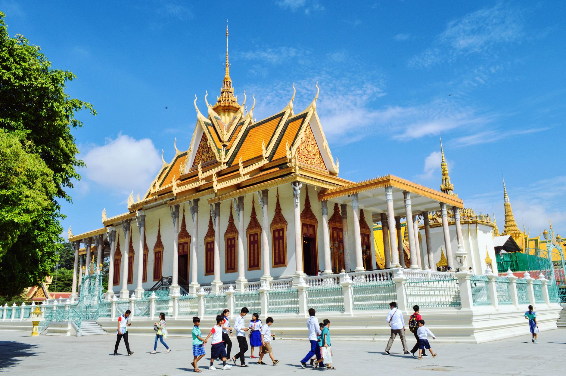
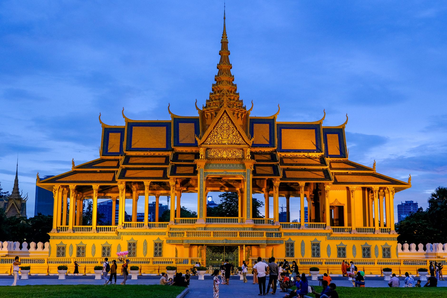
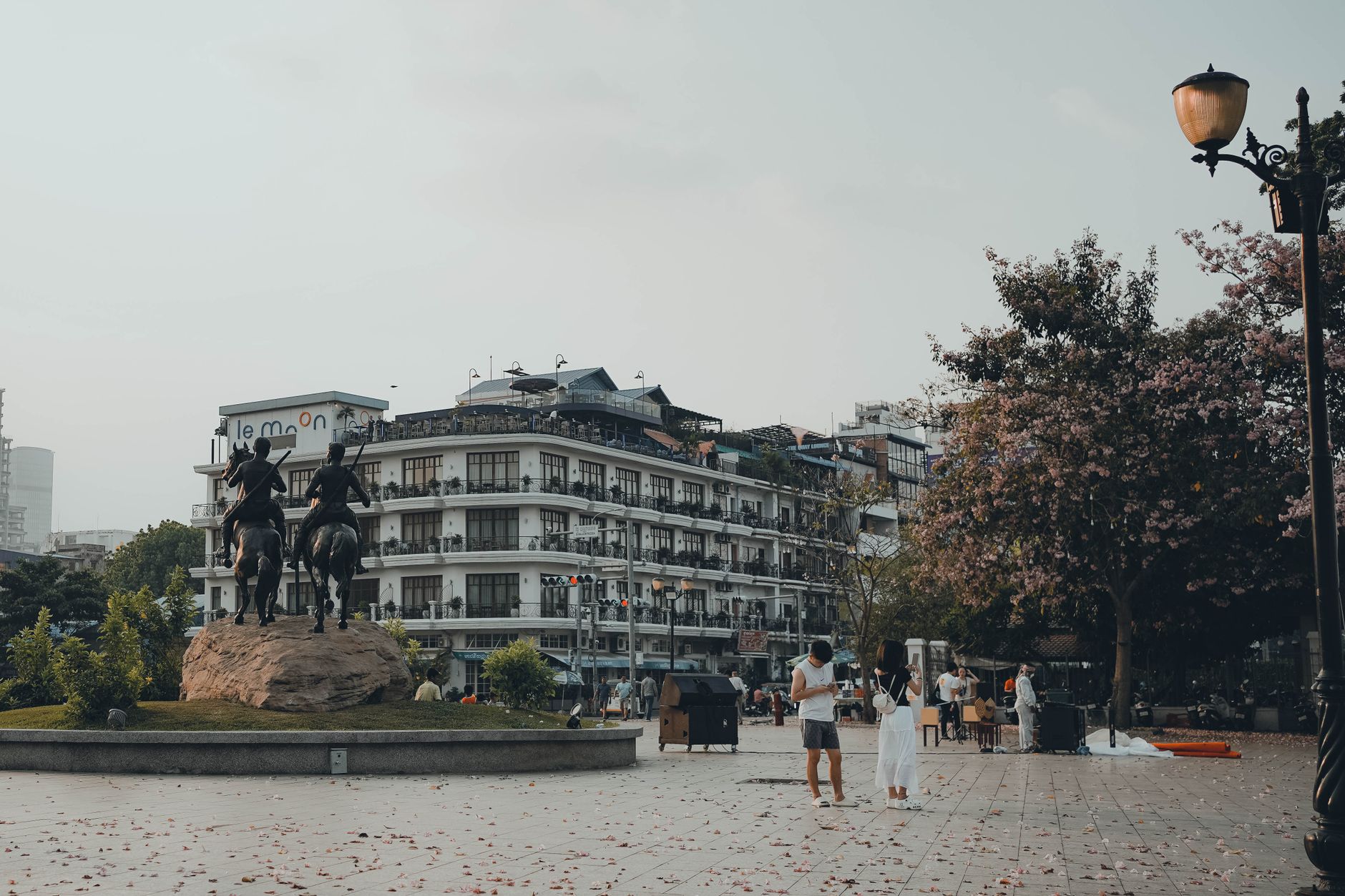
Phnom Penh sits at the confluence of the Mekong, Tonlé Sap and Bassac rivers, and the city's relationship with water — flooding, receding, flooding again — has shaped it as much as any king or colonial administrator. The Royal Palace still anchors the riverfront, its rooflines catching the late-afternoon light in a way that stops you mid-stride.
This is a city that carries an enormous amount of history in a relatively small space. French-era boulevards give way to New Khmer architecture from the 1960s, and the weight of the 1970s is present too, at Tuol Sleng and Choeung Ek, where understanding what happened here feels less like tourism and more like a responsibility.
How Phnom Penh came to be
The city's origin story begins in 1372, when a widow named Penh — later called Daun Penh — found a Koki tree washed up during a storm and built a shrine on a raised hill beside the Tonlé Sap. That hill became Wat Phnom, and the settlement that grew around it eventually became the capital of the Khmer Empire in 1434, after King Ponhea Yat abandoned Angkor Thom following its fall to Siam.
The city lost and regained capital status over the centuries before the French made it permanent in 1865, the same year King Norodom commissioned a new palace. That colonial era left behind the architecture that earned Phnom Penh the nickname 'Pearl of Asia.' Then, in April 1975, the Khmer Rouge emptied the city almost entirely. By the time Vietnamese forces drove them out in 1979, perhaps 100,000 people remained in a city that had once held millions.
Who and what shaped it
People who shaped it
Landmark buildings
See Phnom Penh in motion
Plan your visit
On the map
When to go
Phnom Penh has two distinct seasons: a dry season roughly from November to April, and a wet season from May to October. The dry months bring lower humidity and are the most comfortable for moving between outdoor sites; the wet season brings daily downpours, usually in the afternoon, with lush surroundings and noticeably fewer crowds.
Right now
Background & history adapted from Wikipedia (CC BY-SA) · specs from Wikidata (CC0) · weather from Open-Meteo · map data © OpenStreetMap contributors · photos from Wikimedia Commons / Unsplash with per-image credit. No third-party reviews or social posts reproduced.