
Phnom Kulen
At the top of Phnom Kulen, a 16th-century reclining Buddha stretches eight metres across the floor of a pagoda built directly over a sandstone boulder — and below you, invisible until recently, an entire city lies mapped into the jungle. In June 2013, archaeologists using Lidar technology traced the streets and reservoirs of Mahendraparvata across the mountain's slopes, confirming what the carvings had always suggested: this plateau was once one of the largest urban centres on earth.
Phnom Kulen is where the Khmer Empire began. In 802 CE, King Jayavarman II stood here and declared independence from Java, setting in motion a civilisation that would produce Angkor Wat. The mountain still holds that weight.
💛 What travellers fall for
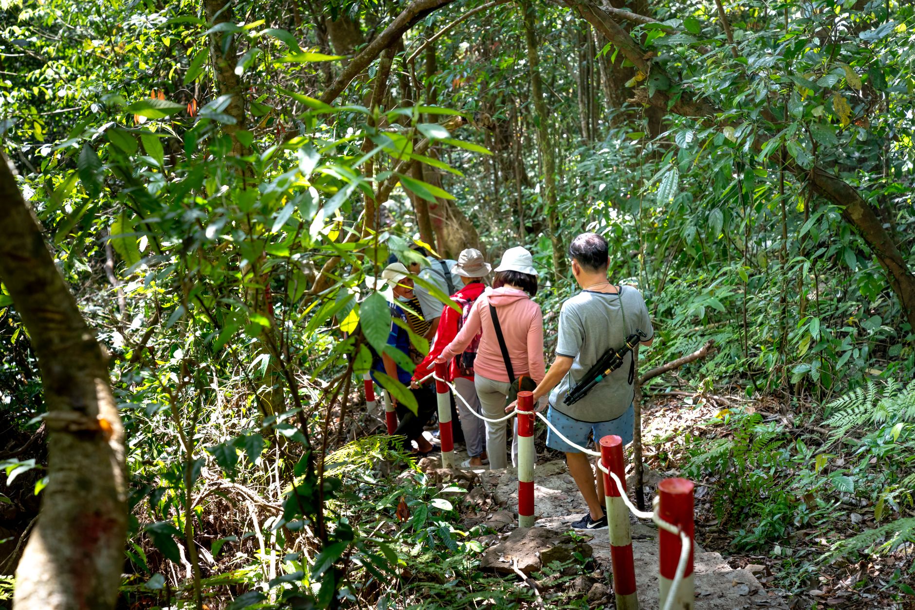
People who come back tend to mention the same thing: arriving early enough to make the ascent before 11am — the road is one lane and the rule is strict. Those who push further to Sra Damrei, the stone elephant on the far trails, say the 12km moto ride on rough track is worth every rut for the quiet at the end of it.
Deals in Phnom Kulen
Book directly at the provider


How Phnom Kulen came to be
On this plateau in 802 CE, Jayavarman II broke Cambodia free from Javanese dominion and established the Devaraja cult — the doctrine of the god-king — that would underpin Khmer rule for centuries. The mountain took the Sanskrit name Mahendraparvata, the mountain of Great Indra, and under Udayadityavarman II it grew into a capital larger than modern Phnom Penh, complete with temples, royal residences, and the riverbed carvings at Kbal Spean, where hundreds of lingas were cut directly into the stone so that sacred water would flow consecrated over them toward the plains below.
The plateau's last chapter as a stronghold came in 1979, when the Khmer Rouge retreated here as their regime collapsed during the Cambodian–Vietnamese War. Phnom Kulen National Park was established in 1993, covering 373 square kilometres, and in 2020 Cambodia placed it on the Tentative List for UNESCO World Heritage status.
Who and what shaped it
People who shaped it
Landmark buildings
See Phnom Kulen in motion
Plan your visit
On the map
When to go
November through March is the window to aim for — trails are dry, temperatures are manageable, and the waterfalls still carry enough water to be worth the walk. From May onward the southwest monsoon turns the paths slick and the humidity relentless, though the jungle does go an extraordinary green.
Right now
Background & history adapted from Wikipedia (CC BY-SA) · specs from Wikidata (CC0) · weather from Open-Meteo · map data © OpenStreetMap contributors · photos from Wikimedia Commons / Unsplash with per-image credit. No third-party reviews or social posts reproduced.