
Peter I Island
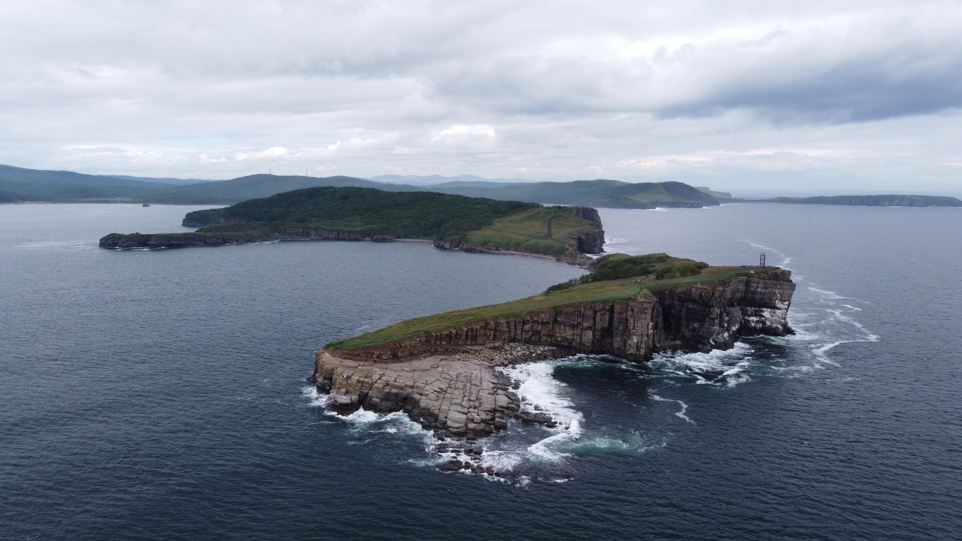
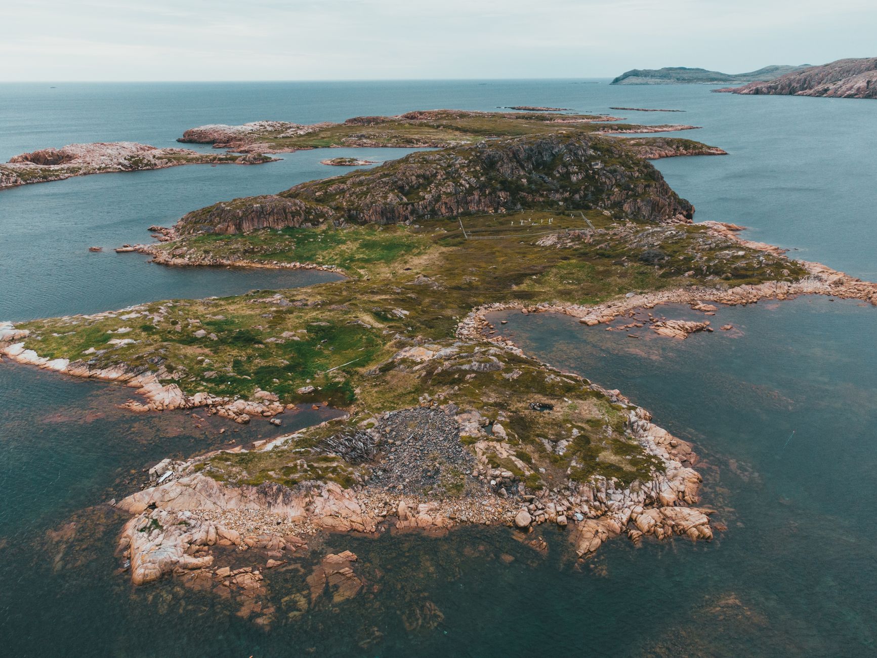
Peter I Island rises from the Bellingshausen Sea as a near-vertical wall of glacial ice, its 40-metre cliffs catching the pale Antarctic light before the pack ice even lets you near. Ninety-five percent of the island is glacier, and Lars Christensen Peak — a 1,640-metre summit with a circular crater at its top — dominates everything else.
Fewer than 600 people had stood on this ground as of 2005. That number has grown only slowly since. The island sits 450 kilometres off the coast of Ellsworth Land, well outside any regular shipping corridor, and even ships equipped to break ice manage a landing only about half the time.
How Peter I Island came to be
Fabian Gottlieb von Bellingshausen first sighted the island on 21 January 1821, sailing under Tsar Alexander I aboard the Vostok and Mirny — it was the first land spotted south of the Antarctic Circle. Drift ice stopped him 25 kilometres short of shore, and he named it for Peter I of Russia. Jean-Baptiste Charcot confirmed the discovery in January 1910 but was halted five kilometres out by pack ice. Norwegian sailor Eyvind Tofte managed to circumnavigate and survey the island in 1926–27, yet also failed to land.
The first boots on the ground belonged to a Norwegian expedition led by Nils Larsen and Ola Olstad on 2 February 1929, financed by whale-ship owner Lars Christensen. Norway claimed the island that day, formalised the claim in law in 1931, and declared it a dependency in 1933. A second landing followed in 1948, when the Brategg expedition spent three days conducting surveys and left a hut containing a copy of the original occupation document. The island has been subject to the Antarctic Treaty since 1961.
Who and what shaped it
People who shaped it
Landmark buildings
See Peter I Island in motion
Plan your visit
On the map
When to go
Even in the brief southern summer window of January and February, snow and ice cover most of the surface and temperatures rarely climb above freezing, with an annual average around −4°C. Outside that narrow window, the island is locked in pack ice and, through the winter months, in near-total darkness.
Right now
Background & history adapted from Wikipedia (CC BY-SA) · specs from Wikidata (CC0) · weather from Open-Meteo · map data © OpenStreetMap contributors · photos from Wikimedia Commons / Unsplash with per-image credit. No third-party reviews or social posts reproduced.